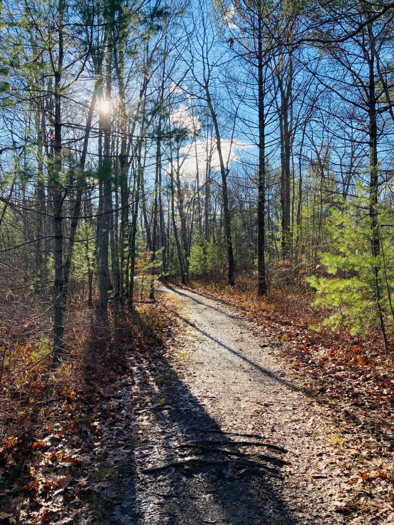
The surprisingly big Edwin L. Smith Preserve in Kennebunk, Maine is the largest holding of the Kennebunkport Conservation Trust (KCT) and sits on over 1,100 acres. Smith Preserve, known for birding and biking, is part of an undeveloped 3,000-acre block of land which KCT’s web site describes as the largest such coastal block between Kittery and Brunswick. The provenance of this area is unique – a large 1947 fire destroyed multiple homes and farms, resulting in an eventual tax default. The land then reverted to the town of Kennebunkport as the town forest, but in 2002, Kennebunkport residents voted to transfer 741 of these acres to KCT. On the first weekend of December, I hiked a long counterclockwise lollipop loop through Smith Preserve, using the Steele Trail, Bobcat Ridge extension, Bobcat Ridge Trail, and the Trolley Trail to return to the Steele Trail. This easy 8-mile loop over rolling terrain took about two and a half hours. A printable map is available from the KCT site.
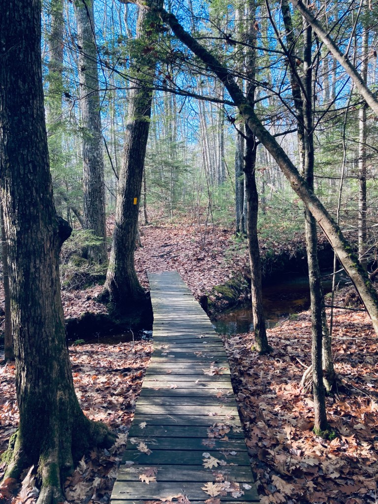
The trailhead is on Guinea Road in Kennebunkport, marked by a tasteful engraved stone with a parking area opposite. This lot has a capacity of about 15-20 cars, and on this early winter morning, most of the license plates were from New Hampshire. The well-signed trail begins in a marshy area paralleling the road. Up-to-date maps with “you are here” points are placed strategically at trail intersections, and there are small periodic alternate flourishes off the trail for mountain bikes. The yellow-blazed Steele Trail is the “main drag,” but longer or shorter loop hikes can be created by using the loop trails along the way, like the Brook Trail, Fox Den Trail, and Beacon Trail. A Forestry Management Project is underway in a 20-acre section of the trail, and placards educate visitors regarding its purpose.

