Blackstrap Hill Preserve

White Trail, Blackstrap Hill Preserve, Falmouth, Maine

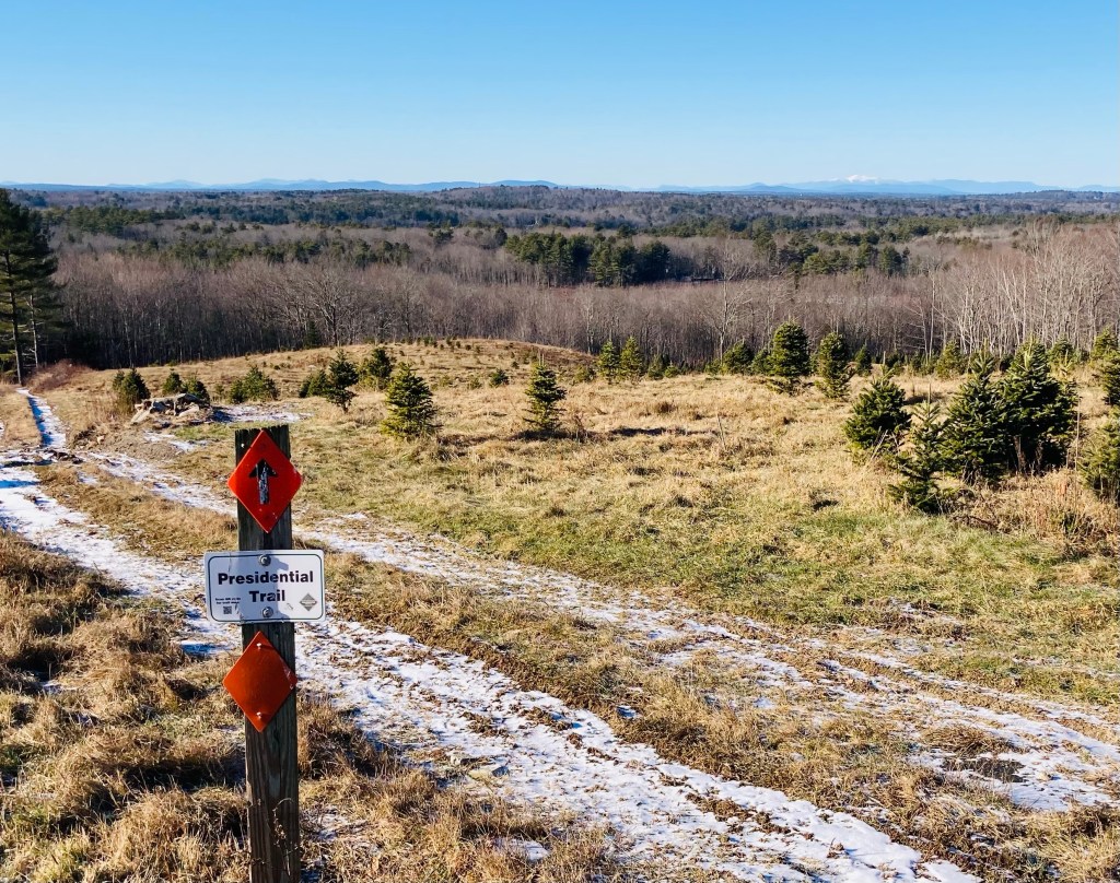
The Blackstrap Hill Preserve, along with the Blackstrap Community Forest, is comprised of two separate properties totaling almost 600 acres and 11 miles of trails, owned by the Falmouth Land Trust (FLT) and the Town of Falmouth, and divided by north and south. We have hiked this several times, and the photos are from a mid-March day and a mid-November day, several years apart. Dogs are allowed, and must be on-leash within 300 ft of trailheads. Hunting is permitted, so blaze orange is highly suggested in-season. Parking is available at the Blackstrap Community Forest parking lot on Blackstrap Road, where there is a small lot and map kiosk (see the FLT website for a map). From there, we have completed a loop of about 4.2 miles in a little under two hours (White Trail, Waterfall Trail, Red Trail, Greenline Trail, Saw Whet Trail, and Cross-Cut Trail).

Pig in blaze orange on the River Trail, Blackstrap Hill Preserve, Falmouth, ME

The Preserve is also accessible from a trailhead further up Blackstrap Road (same as for North Falmouth Community Forest), just north of Babbidge Road, where we did a 4.8 mile hike in about 2 hours (River Trail, Hayfield Trail, River Trail, Updraft Trail, Bobcat Trail, Rocky Ridge Trail, Happy Cats Trail), as well as another small parking lot off Hurricane Road. A connector to the east (from the River Trail) extends to the Hadlock Community Forest, as well.

Waterfall Trail, Blackstrap Hill Preserve, Falmouth, Maine

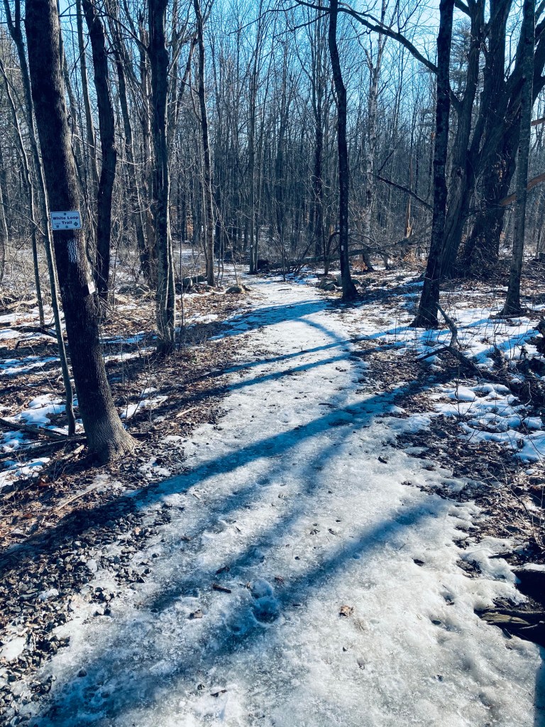
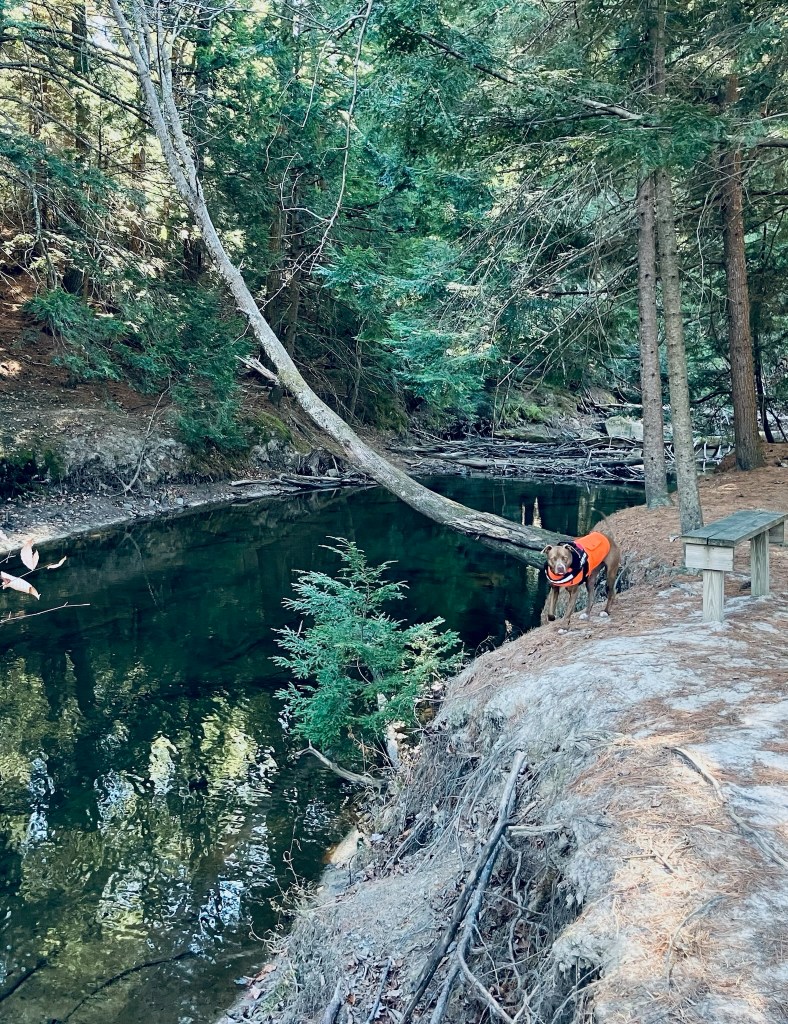
In March, after a short walk across the grassy field to the White Loop Trail, I put on micro spikes to deal with the icy footing. The White Loop Trail led to the Waterfall spur trail, marked with purple blazes, which added about .7 miles out and back, with the pleasant sound of the creek leading downhill. The waterfall was not so much one massive torrent, but a pleasing series of cascades, and would be a nice, easy hike for young children in warmer months.

Piscataqua River in late fall, River Trail, Blackstrap Hill Preserve

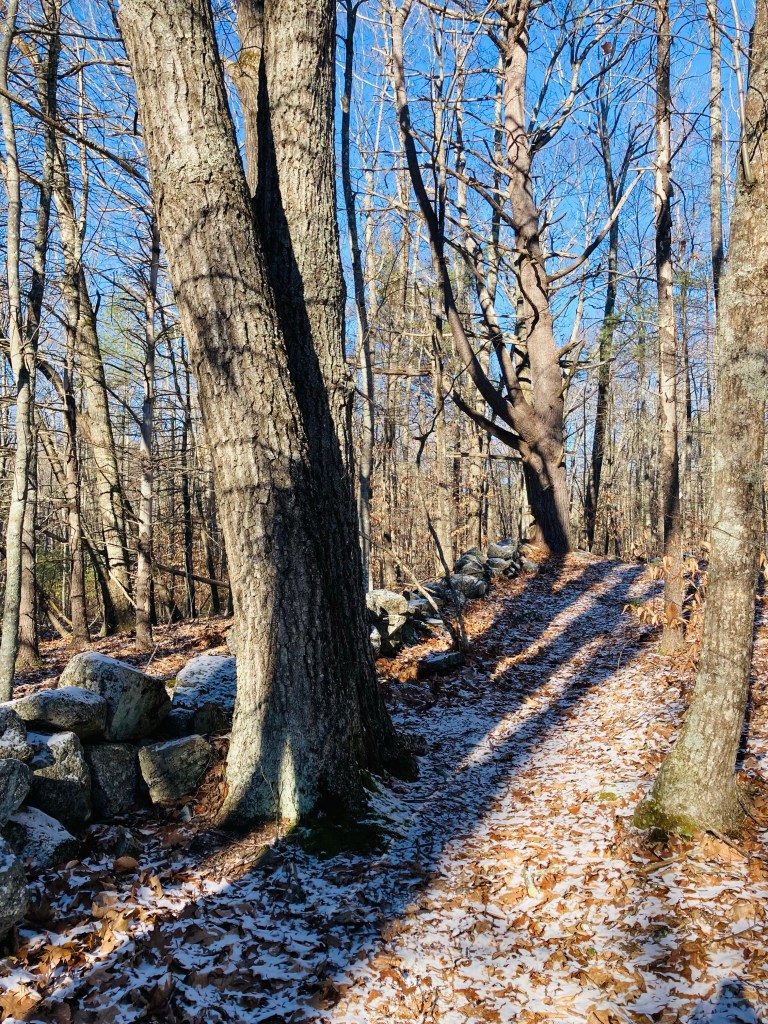
I returned to the White Loop Trail, continuing a counter-clockwise loop to the Red Trail, which was wide and sunken, making it a sort of frozen river in the winter melt. At the Red Trail intersection with the Yellow Trail (which I bypassed), you can begin to hear the highway again. The trail network is mostly self-correcting, with maps at major intersections.

Blackstrap Hill Preserve, Falmouth, Maine

I turned left by a lazy bend in the West Branch of the Piscataqua River to take the Greenline Trail toward the Saw Whet Trail. The Saw Whet climbs a ridge next to a marshy area, and is not particularly well-marked, but I eventually re-acquired some white blazes, eventually returning to the Red Trail and then the White Trail, which widened out for the loop back to the parking lot. For the longer loop from further up Blackstrap, we used AllTrails to navigate clockwise, dodging a few mountain bikers here and there (all of whom were courteous and respectful).

Blackstrap Hill Preserve, Falmouth, Maine

Suckfish Brook Conservation Area (Falmouth, ME)

Bench by beaver dam and pond, Suckfish Brook Conservation Area, Falmouth, ME

Suckfish Brook Conservation Area is a two-part preserve in Falmouth and Westbrook to the east of Highland Lake, a total of about 132 acres in size. On a mid-December day, I explored the 94-acre preserve in Falmouth by the Falmouth Land Trust, with a trail system maintained by the Town of Falmouth that begins in the Conservation Area and connects to trails made possible by neighboring landowners. The Conservation Area is named for the white sucker fish, which spawns in the eponymous brook. The small parking area is at the end of Upland Road, off Mast Road close to the Falmouth/Westbrook line. Navigation through Suckfish Brook Conservation Area can be difficult, as the maps are good, but some of the trails, particularly those through the Christmas tree farm owned by Skillins, are unsigned. I typically use the AllTrails application to navigate and track hikes, but in this case, the best way I found to navigate was using the QR code on the trail sign to access the Google Maps version of the trail map, showing my position relative to my anticipated route. In addition, the AllTrails trailhead directions tried to send me towards the wrong side of Falmouth.

Stone wall, Suckfish Brook Conservation Area, Falmouth, ME

I made a loop by taking the Huston Trail clockwise to the Stone Ridge Trail, the Presidential Trail, the Red Tail Trail, and back north on the Presidential Trail to the Huston Trail, with a quick stop at the Beaver Trail. This route along the edges of the Conservation Area was about 2.6 miles, and easily completed in an hour. A sign and map kiosk mark the beginning of the trails, which are open sunrise to sunset. Shortly after the parking lot, a series of plank bridges led to the right, with a view over a small pond, a bench, and a beaver dam at the pond’s outlet. Returning to the main trail, white-blazed Huston Trail splits to the north and south, and I went left/north. Leaves rattled on the trees and crunched underfoot, frozen under a thin carpet of snow. There are periodic placards along the trail with notices and QR codes regarding the history of the area. The Huston Trail is named for William Huston and his family, the historical landowners. Huston was a forester working for the King of England’s mast agent for Maine, and white pines were harvested for Royal Navy masts here, hence the name of Mast Road, as well.

View of White Mountains from Presidential Trail, Suckfish Brook Conservation Area, Falmouth, ME
Continue reading