I first passed the sign for the Seboeis River Trails in 2020 on the way through northern Penobscot County to Baxter State Park’s north entrance, and made a mental note to check them out. Not much existed online at the time regarding this riverside hike from Grand Lake Road, part of the Seboeis River Gorge Preserve in T6R7 WELS, except the description of a 1.1 mile out-and-back trail along the Seboeis River, ending at the Grand Pitch. I had seen the sign, then saw that it was in the guide book Hiking Waterfalls Maine for the section of ledges at the Grand Pitch. Fast forward to 2024, and Penobscot River Trails has consistently improved this hike, which now extends 7.2 miles, crossing Shin Brook and following the Seboeis downstream to Grondin Road, with maps and descriptions at their site.

This is one of those secluded, beautiful hikes that I have to think twice before writing about, to see if I actually want to share it. One parking area, marked by a large wooden sign, is on the east bank of the Seboeis, shortly before the north entrance to Baxter State Park. A picnic table and a flat grassy area overlook a bend in the river, along with tent sites and a screened-in area, and an outhouse is available on a small hill above it in the woods. The trail itself begins across the street, from a larger parking area and kiosk on the south side of Grand Lake Road. Well-crafted wooden markers show the distances in kilometers along the path in both directions.

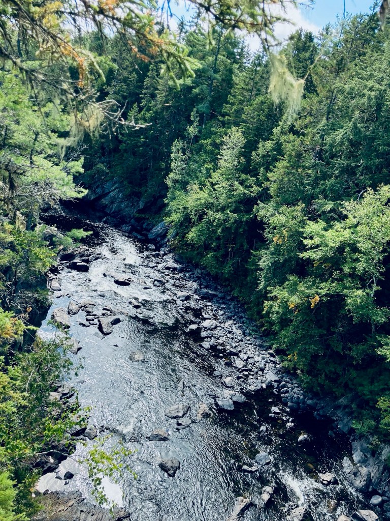
The trail starts as a flat gravel path, and then becomes a winding footpath, climbing above the riverbank on a small ridge, with a variety of frogs and toads hopping out of my way, and the continuous calls of woodpeckers and songbirds. The Seboeis becomes louder as it narrows and descends, and the scent of the bent and twisted riverside cedars wafts up through the river mist. A portage trail is marked by a sign in a tree for canoers to walk around the rapids. The trail turns inland next to a large rock outcropping and a bend in the river.