Mill Brook Preserve South, a 32-acre annex/extension of the Mill Brook Preserve, opened its trails in October 2019, and has a 1.5 mile easy lollipop loop for hiking, running, snowshoeing, and cross-country skiing, ending in a short spur trail with the opportunity to view the annual migration of the alewives in late May and June. As with the Mill Brook Preserve, the best information and trail map can be found at the website of the Presumpscot Regional Land Trust, which holds this land, and coordinates the 28-mile Sebago to the Sea Trail.

The Mill Brook Preserve South trailhead is located next to well-marked parking spaces in the Millbrook Estates (300 E. Bridge St, Westbrook). We hiked the loop and the spur a couple times in February 2020, an easy hike of about forty minutes. The trail was packed snow, with softer snow on the margins, and I would suggest traction devices (Yaktrax or microspikes) to avoid slipping and sliding.
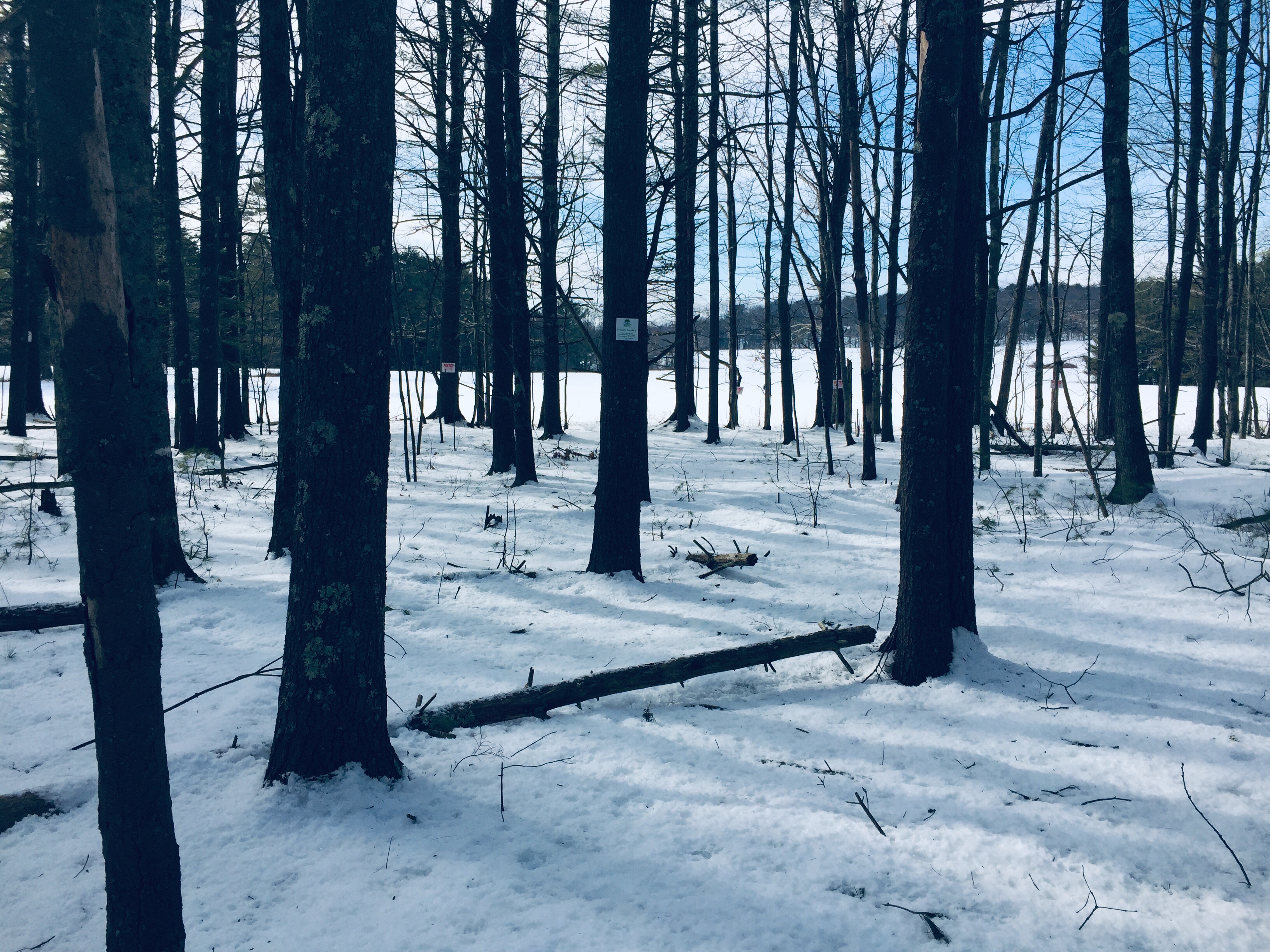
We saw woodpeckers and red squirrels, as well as the tracks of deer. Dogs are allowed on the trail, but must be leashed, especially in the portion next to the working cattle farm (you will see signs). The beginning of the trail is next to a horse farm, so children may enjoy seeing these domesticated animals, if you strike out with woodland creatures.
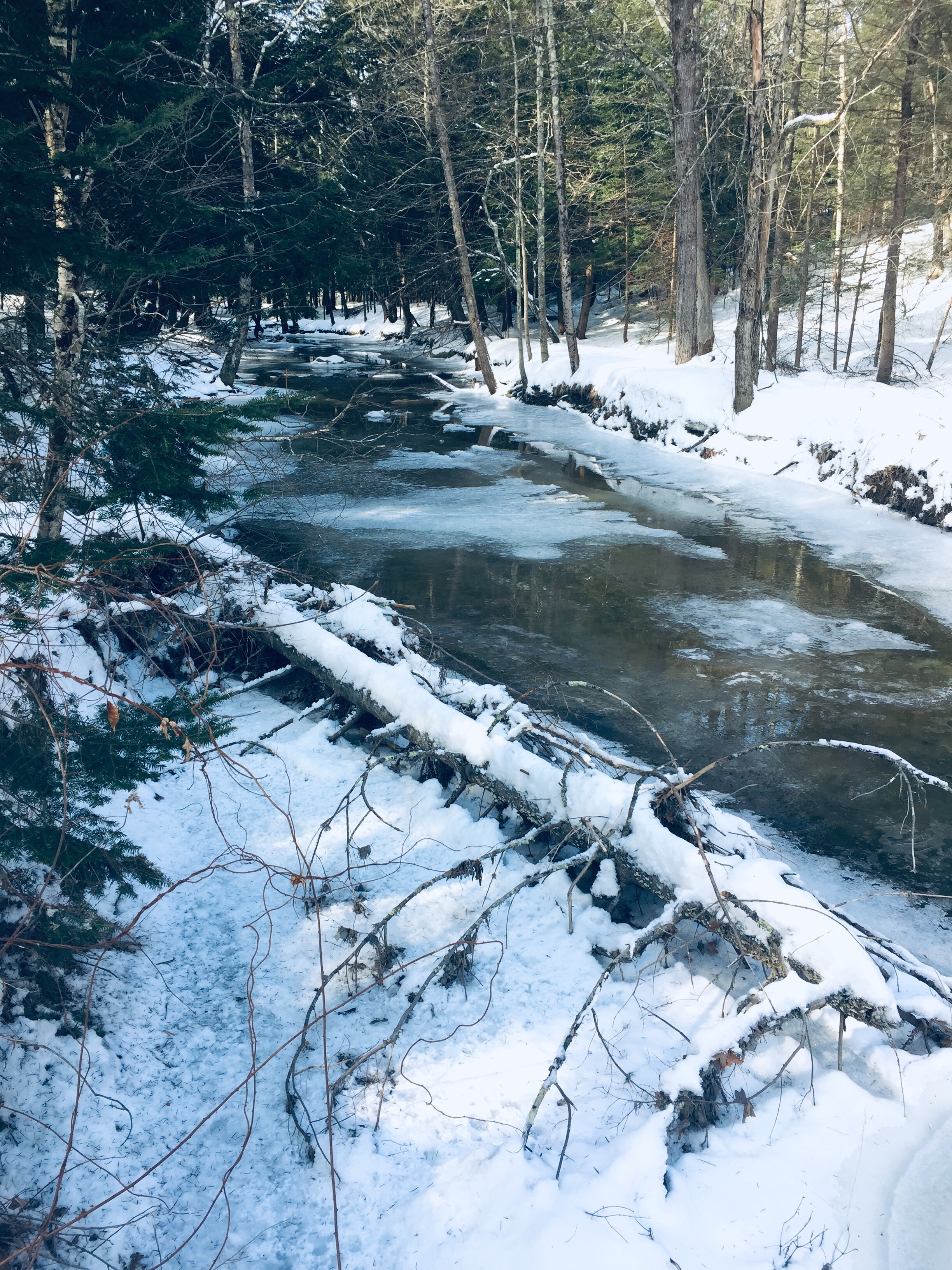
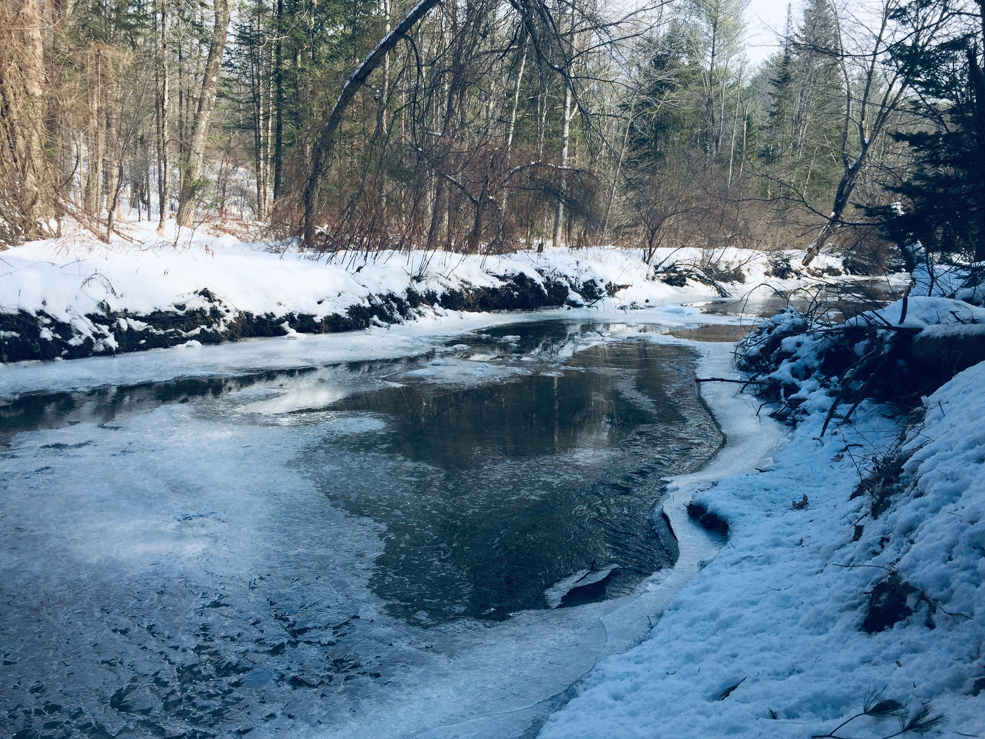
The spur trail midway through the loop leads downhill to Mill Brook, and on this winter visit, the flow was mostly under a sheet of ice, with an open area close to the near bank. In early summer, this area can be a great spot to watch the alewives run (and a midway picnic stop with smaller kids).
As in its northern sister preserve, navigation along the trails is forgiving and self-correcting, with maps posted at critical intersections throughout the Preserve.

