The Messalonskee Stream Trail is listed alternately as a 3.2, 4 mile, or 6 mile total out-and-back trail along its namesake in Oakland, Maine, open from sunup to sundown. Description and maps are available at the site of Kennebec Messalonskee Trails. I completed this trail in mid-November, and again in early May. On both occasions, they were lightly trafficked, with an emphasis on dog walkers. In November, a notice was posted for hikers to wear orange, due to archery season. In May, there was more mud, more birds, and the streams were running much faster.

Parking is available in a small fenced-in lot off Kennedy Memorial Drive, just before the bridge next to the Oakland Town Office. An alternate start point is at the north end, off Rice Rips Road. This is a very quiet, accessible trail for being relatively close to I-95. The trail, constructed by the Maine Conservation Corps, emerges from a gap in the fenced area, and climbs to a ridge overlooking the river. On the opposite side of the stream are the castle-like ruins of the Cascade Woolen Mill, with graffiti and tumbling walls, reminiscent of a Stephen King story.

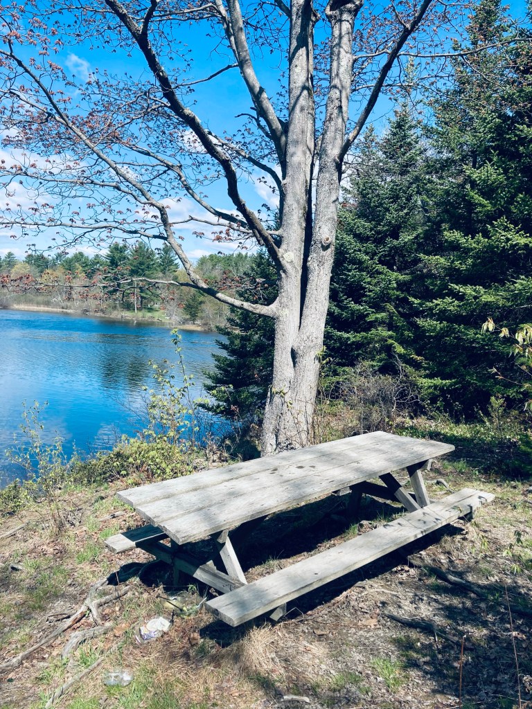
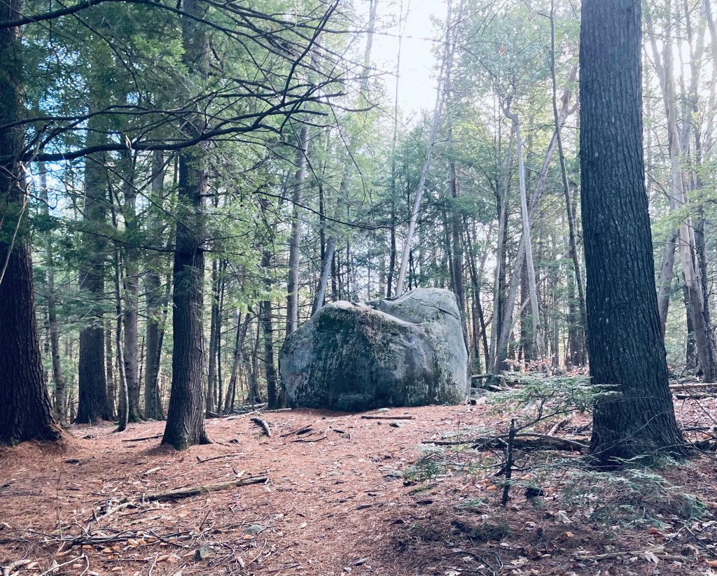
There was morning light through the trees, no bugs, and shortly past a large, sunlit glacial erratic, there is a picnic table in shaded area among the evergreens, on a slope overlooking the river. Many times throughout the hike, I heard the high-pitched, pleasant call of the black-throated green warbler.
The north end of the trail follows a loop around a peninsula jutting into a flat, slow-moving section of the stream, where there is another picnic table a little less than 1.5 miles from the start, with beautiful views of the stream. Shortly after the peninsula’s tip, I saw a loon making slow, lazy, turns on the quiet surface.

None of the trail is difficult, but there are a substantial number of roots close to the shoreline, making boots better than trail runners for your ankles. Plank bridges cover low, marshy areas. Based upon the time I had, I used the powerlines as a turnaround point, at about 1 2/3 miles. The trail continues, however, past this via an ATV trail and road to a dam, and I will have to explore another time. My distance was about 3.4 miles, easily covered in a little over an hour.