The Rodick Pettengill Farm in Freeport is a 140-acre property on the Harraseeket River owned and maintained by the Freeport Historical Society, and open to the public dawn to dusk, year-round. A self-guided tour and map, including trails, is available on the Freeport Historical Society website. In late October, we took a morning loop through the farm in the autumn foliage, using the Grant’s Point and Carter’s Creek Trails. Dogs are allowed (we were without Pig the dog for this hike, but saw several others with owners on the walk), a point we clarified with the Freeport Historical Society, as this policy has changed over the last several years.

Parking is available on Pettengill Road at the end of the farm’s driveway (as is a house-shaped box for donations) – just don’t park in front of the gate. Many historical placards dot the property, with vignettes from the farm’s up-and-down history, archeological findings, interactions with Native populations, and signs pointing out the sites of former buildings. The long driveway leads to the open fields around the farmhouse, built around the year 1800. We peeked in the windows (tours are available for groups of two or more with advance notice), then we walked downhill to the Harraseeket River, the site of a former shipping wharf for a brickyards.

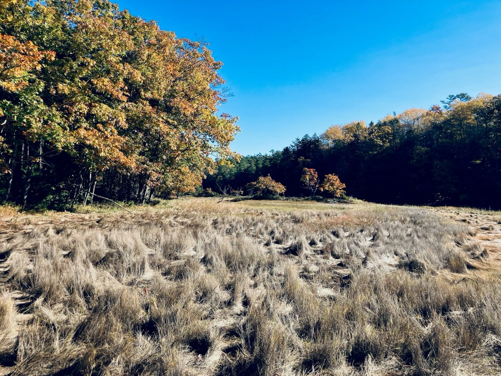
The sunlit October morning had a chill to it, but was invigorating, particularly since many hike reviews in warmer months listed mosquitoes and other biting insects as omnipresent. Across the field to the northeast of the house, we picked up the Grant’s Point Trail, mostly downhill through the mixed evergreen woods with a couple twists and the strong smell of pine, taking it all the way to its namesake promontory, with an excellent view of the river and beyond.

There were some muddy areas, but none that were problematic or couldn’t be traversed. We took the Carter’s Creek Trail, winding in a forest full of birdsong, back up to the fields, skirting the edge until reaching the long driveway again. We bypassed the Ridge Trail and Marsh Trails, leaving them for another time.

All told, the lollipop-type loop hike was about three miles in an easy hour and ten minutes, with time to read about history, stop in the sun, and birdwatch. While we did see other walkers and hikers, it was very quiet in the wooded portion of the trail. For those interested in more Freeport-area historical sites, the Freeport Historical Society has a Freeport Heritage Trail, with a map of sites and accompanying audio files.