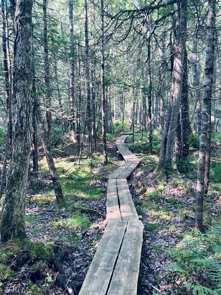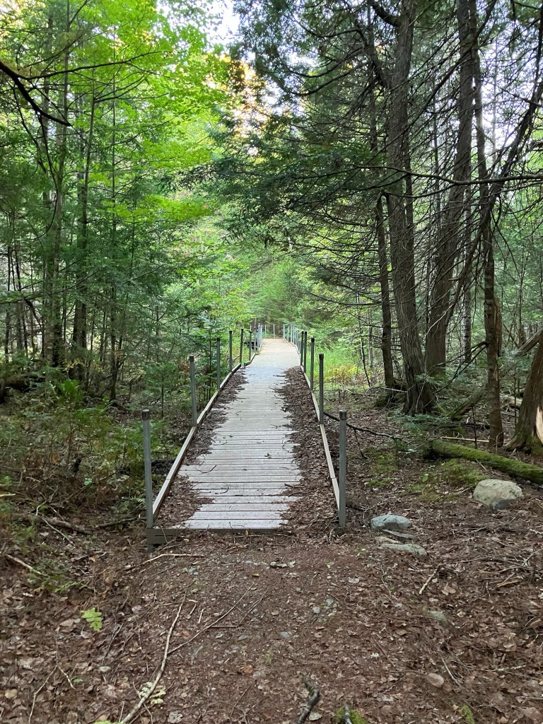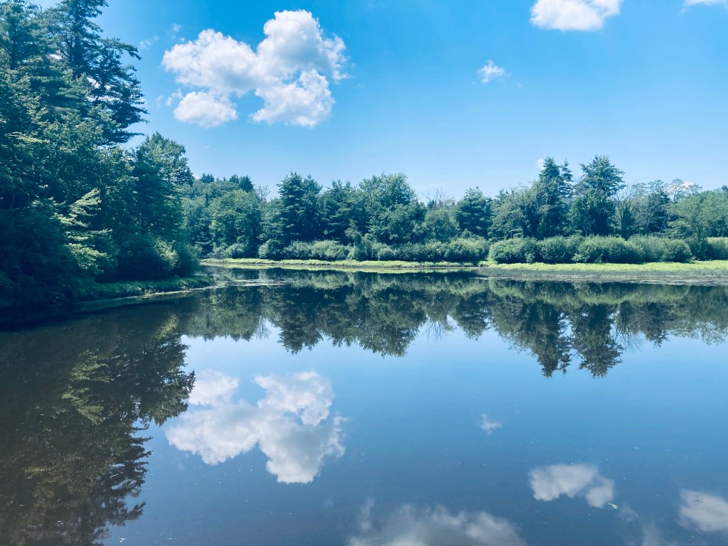
Moxie Falls, located in The Forks, Maine, has a drop of about 80 feet, making it one of the biggest in New England, and a truly impressive spectacle. The easy, well-traveled trail is about 2 miles north of Route 201, which follows the path of the Kennebec River in this area. There is a large, well-marked parking area (“Moxie Falls Scenic Area”) on the left side of Lake Moxie Road. The trail itself is about 2 miles, depending on how many diversions you take. On a sunny late May day, we followed the trail in a Y-shape to the upper falls, then the main event, Moxie Falls, totaling about 2.4 miles, and taking about an hour. Dogs under control are allowed, there is no camping or fires, and carry-in/carry-out policy is in effect. We used AllTrails to navigate (download beforehand, as very little cell service in the valley through which the falls run). A full description and map is also available in the great Hiking Waterfalls Maine book.
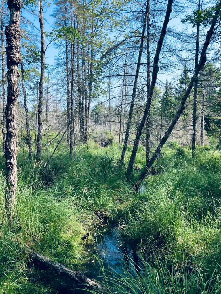
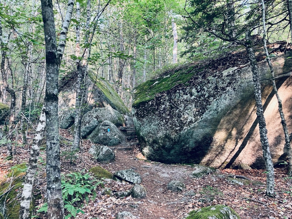
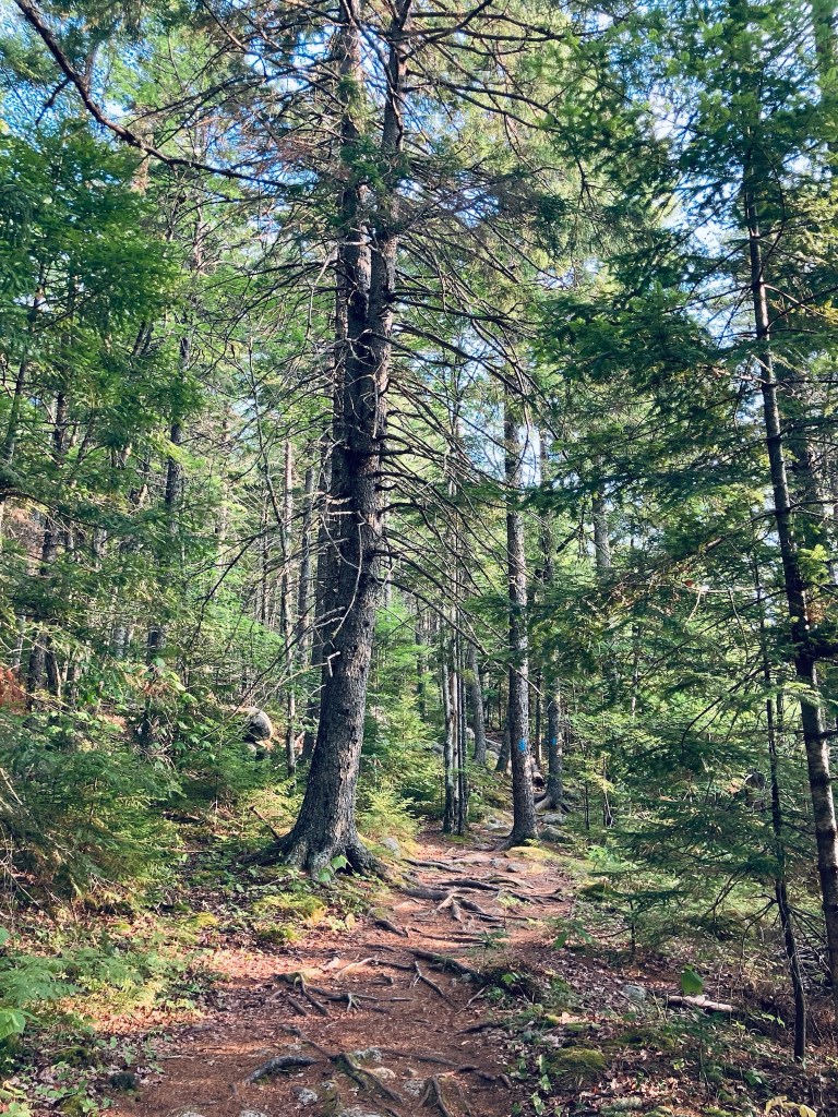
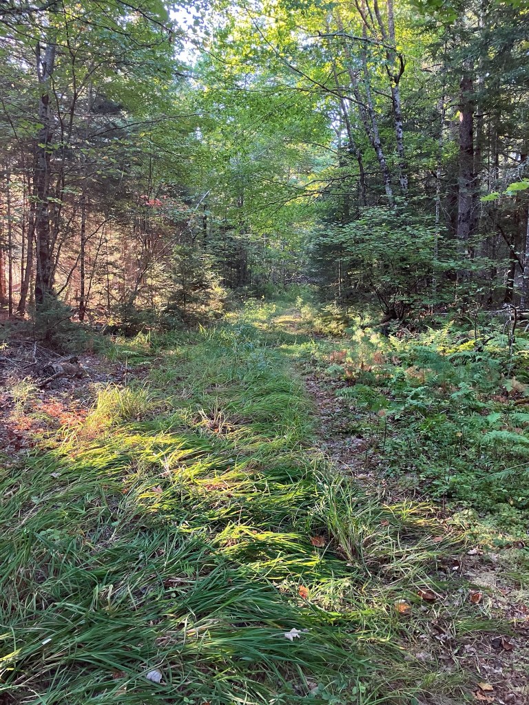
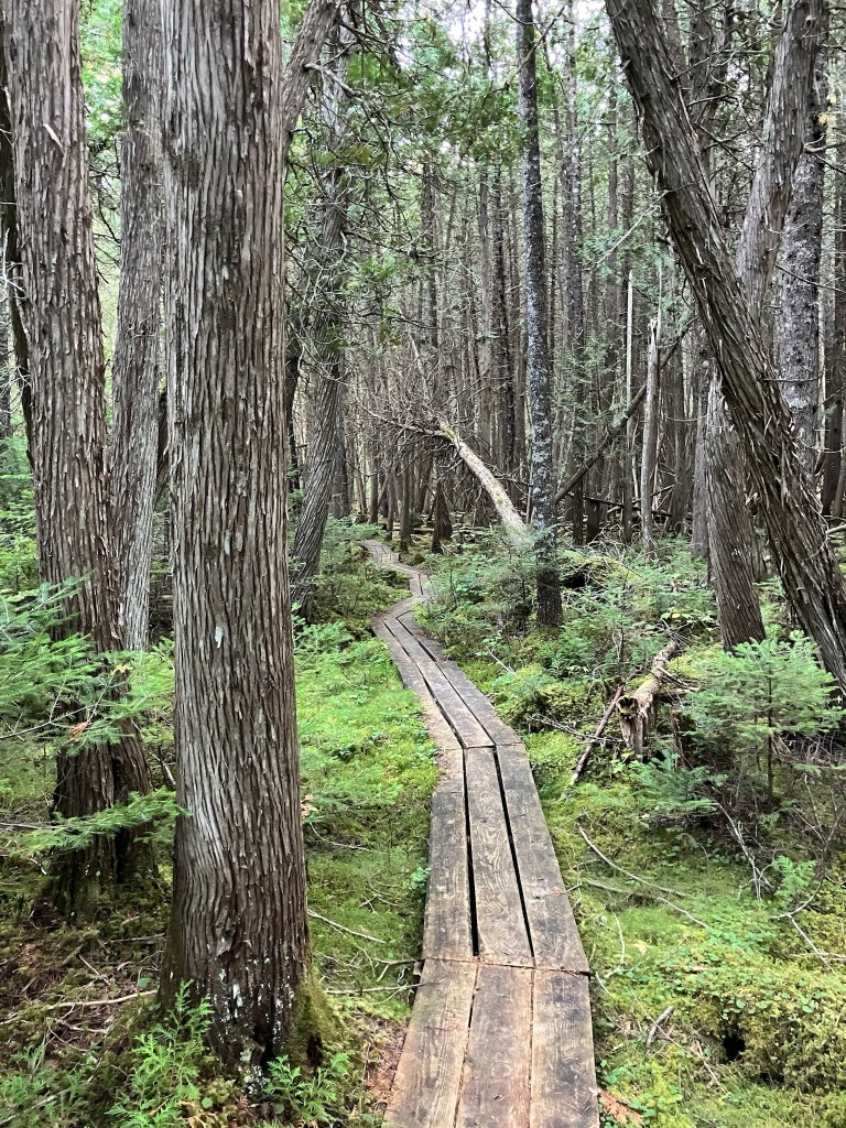
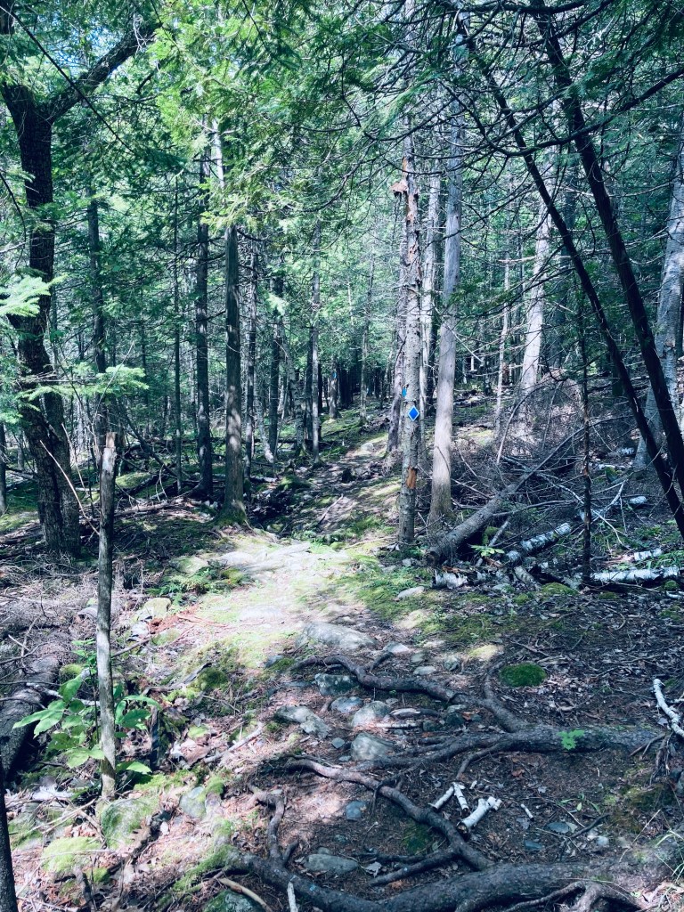
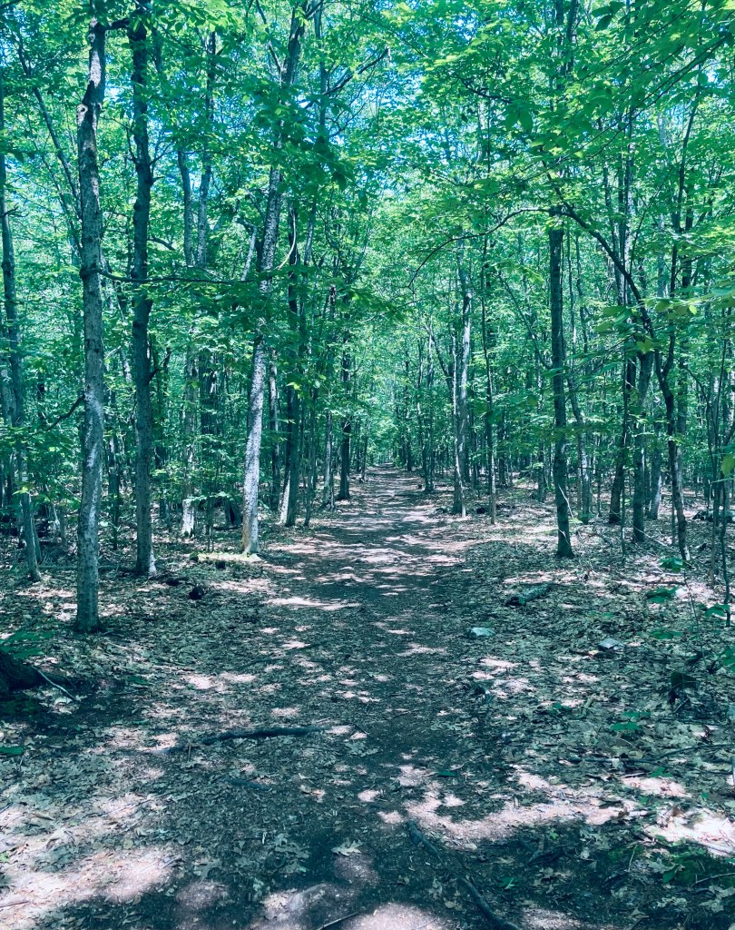
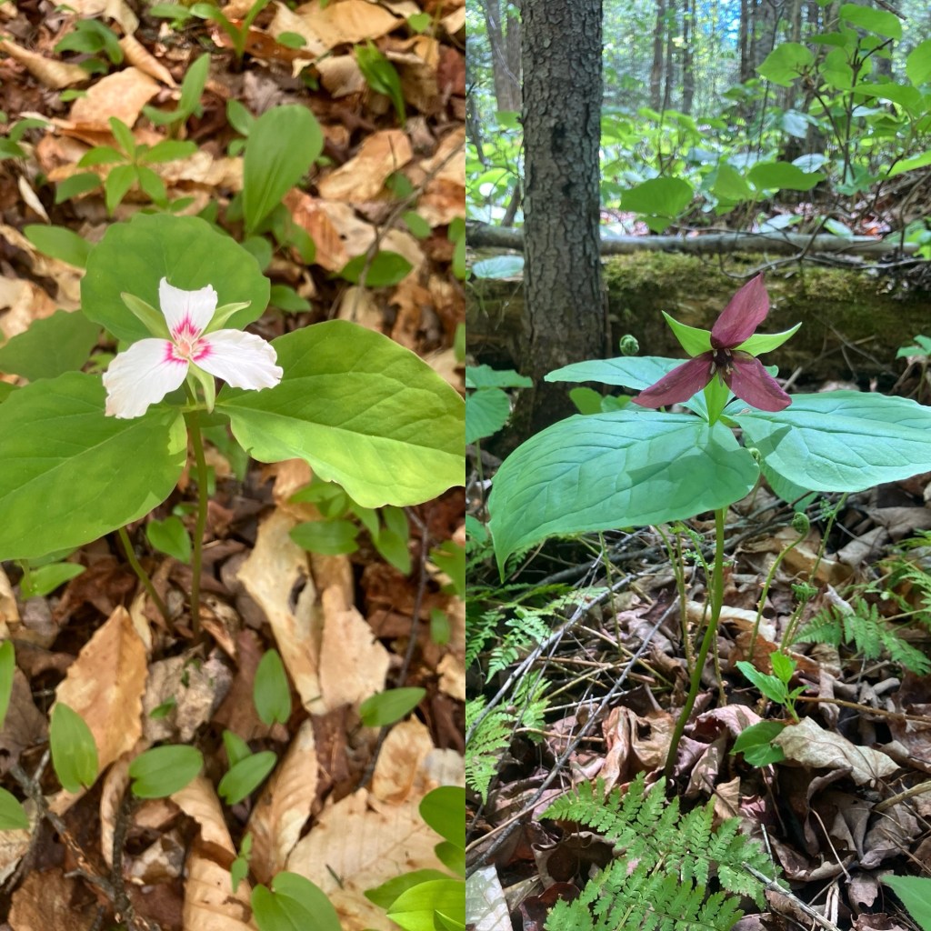
The path itself is wide and easy, starting as a gravel woods road, bounded by hobblebush, cedar, and wildflowers. An aged wooden sign documents the gift of 217 acres, the land for the scenic area, by the Coburn Lands Trust and agreement with Central Maine Power. We saw white and red trillium, lady slipper, jack-in-the-pulpit, blue-bead lilies, and many other flowering plants. Birds abounded, with the calls of robins, vireos, jays, and the least flycatcher. Bugs can be a problem here, and we saw at least one group wearing headnets, but likely due to some cold nights and a stiff breeze, the mosquitoes and black flies were not a factor.
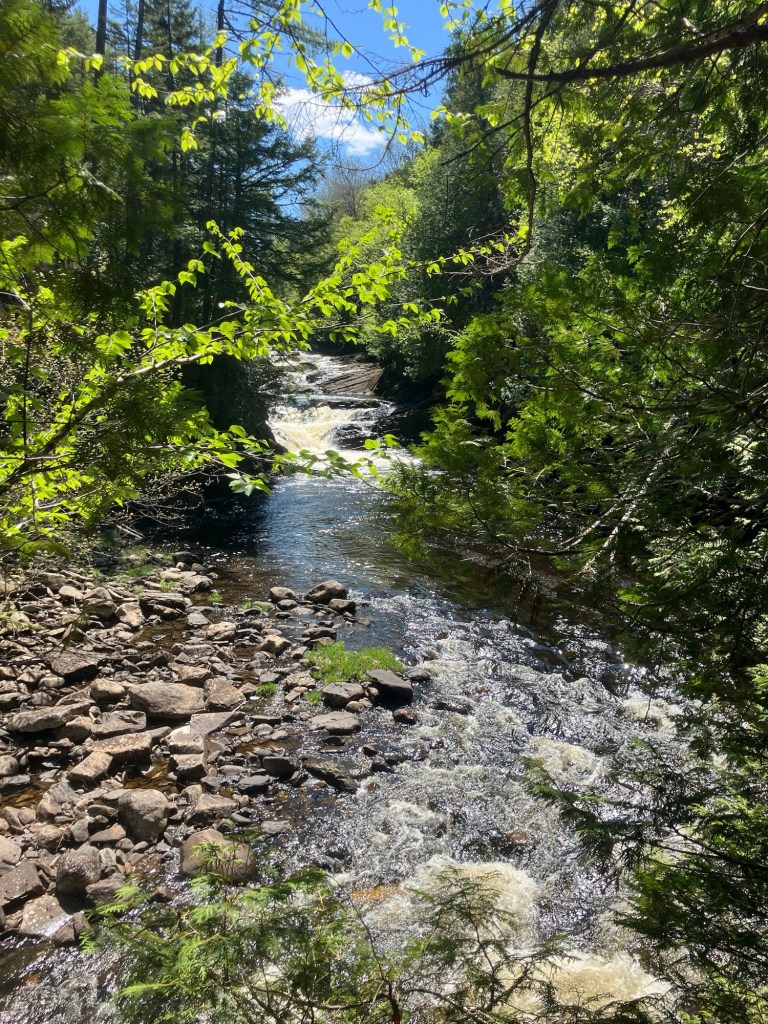
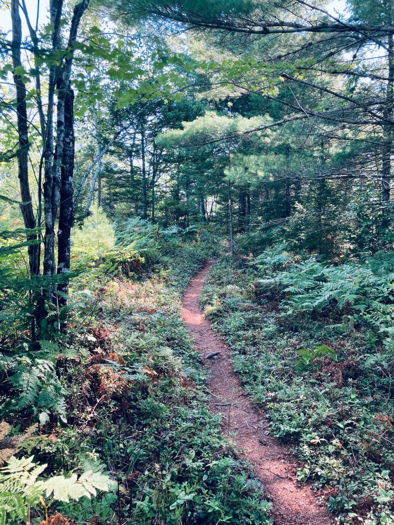
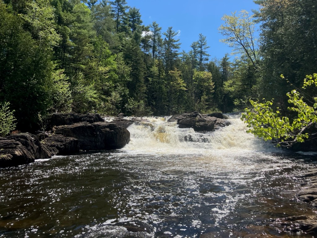
We first turned right to make our way to the Upper Falls, and the presence of spiderwebs on the trail indicated that most people bypassed it to head to Moxie Falls. These smaller falls were quietly beautiful, and we turned toward the slow downhill, with steps, that leads to Moxie Falls, and its viewing platforms. Serviceberry flowered next to Moxie Stream, with birds flying back and forth, searching for insects and small fish.
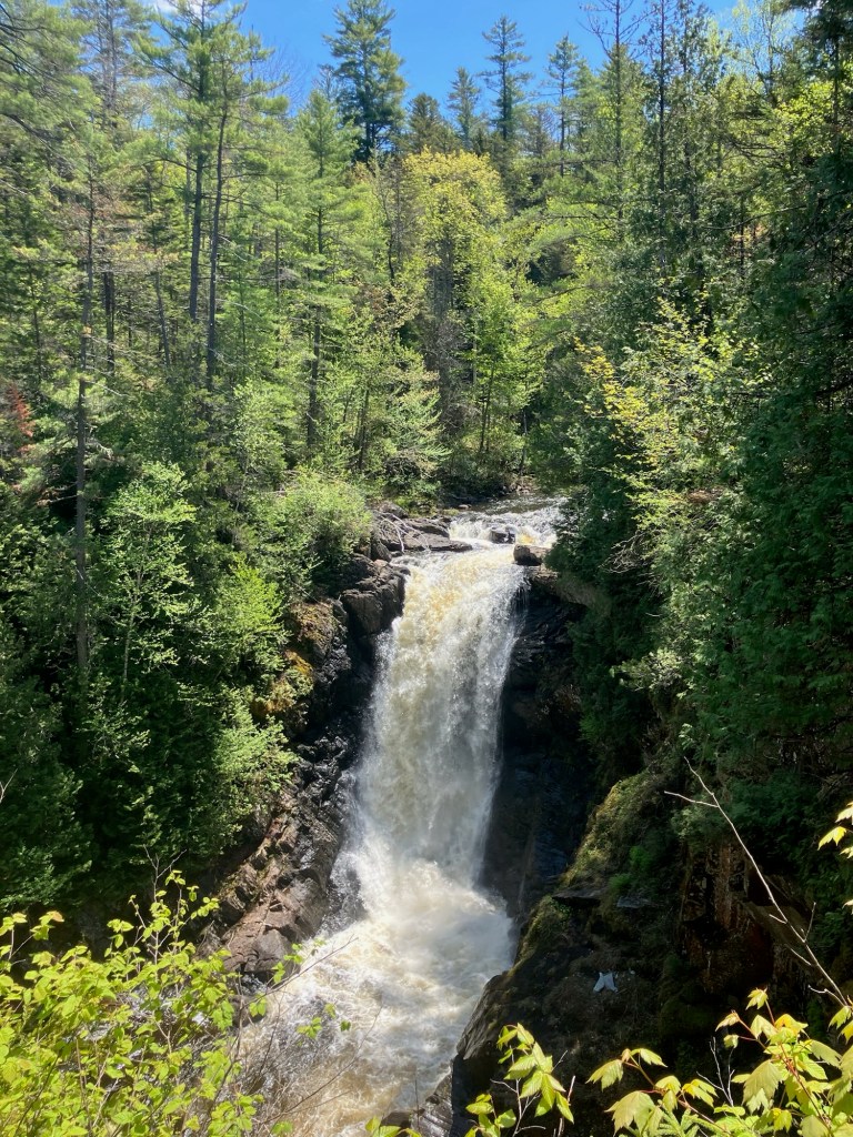
Moxie Falls are impressive, and recent rains made for a crashing spectacle, viewable from a series of platforms and breaks in the trees along the trail. We took our photos, felt the spray, and turned toward the parking lot. On this occasion, we had packed some sandwiches that we enjoyed at The Forks Rest Area, a quiet spot with picnic tables and a pit toilet at the intersection of Route 201 and Lake Moxie Road. Previously, we have eaten at The Hawk’s Nest Restaurant and Pub, which has tables overlooking the Kennebec.
(Disclaimer: This post contains affiliate links, and as an Amazon Associate Hiking in Maine blog earns from qualifying purchases.)