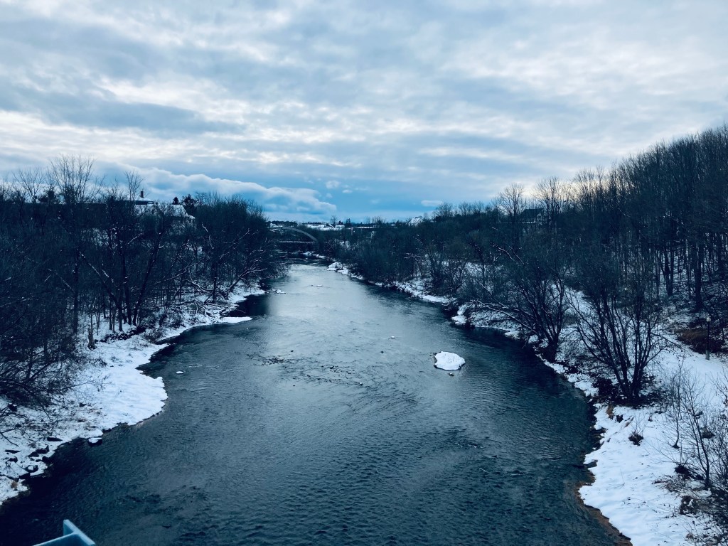
Reid State Park Loop

East Beach, Reid State Park, Georgetown, ME

Reid State Park in Georgetown, Maine is at the southeast corner of the long coastal peninsula formed by the Kennebec River to the west and the Sheepscot River to the east. In 2015, Reid’s popular beaches were named #1 in New England for surfing by the Boston Globe. The fee for day use of Reid State Park, payable at a box the entry gate (not usually manned in non-summer months, is $6 for Maine residents, $8 for non-residents, and $2 for non-resident seniors (veterans are free with a Maine Veteran State Park Pass). Dogs are allowed, but not on the beach April 1st – September 30 (to protect nesting plover), and must be leashed at all times. We have visited in fall and at the tail-end of the winter season, enjoying the peace and quiet (and no bugs).

Depiction of Reid State Park Loop

As the parking lot at Todd’s Point was not yet open, in the fall and winter we park by the East Beach or at Griffith Head (bathrooms there), and begin our hike from either of those lots, moving in an easy clockwise loop of about 4.6 to 4.8 miles, covering Reid State Park’s best features in about two hours. The park does have a map, accessible from a link on the state park website. This map, though no doubt made available by a dedicated public servant, is terrible for hiking. First, know that the official map is upside-down, meaning north is at the bottom. Additionally, no trails are listed. Above is a screenshot of the correctly-oriented All Trails route we took, with helpful labels added by daughter. The East Beach has a group picnic site overlooking the ocean, with a large shelter from the sun or inclement weather.
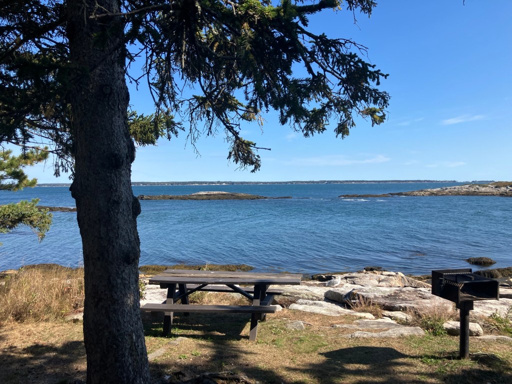
Picnic table at Griffith Head, Reid State Park, Georgetown, ME.

Paths connect picnic sites, but to start our hike, we walked south on a footpath alongside Griffith’s Head Road, crossing a small tidal inlet of the Sheepscot, where a red-breasted merganser rode the current foraging for food. We quickly arrived at Griffith Head, where buildings are sometimes shuttered for the winter (note: a pit toilet can sometimes be the only open winter bathroom). Picnic tables overlook the water, a perfect quiet stop to eat and watch the waves for seals.

Mile Beach from Todd’s Point, Reid State Park, Georgetown, ME

We walked down a stone staircase to Mile Beach, and the sun, sea air, and the sound of the waves filled the next mile of our walk along the sand. The rocky promentory of Todd’s Point rises above the water, with a short climb yielding great views in all directions. Here, the bathing facilities were shuttered, as well, with the empty parking lots between Mile Beach and Half Mile Beach roped off until the summer season.
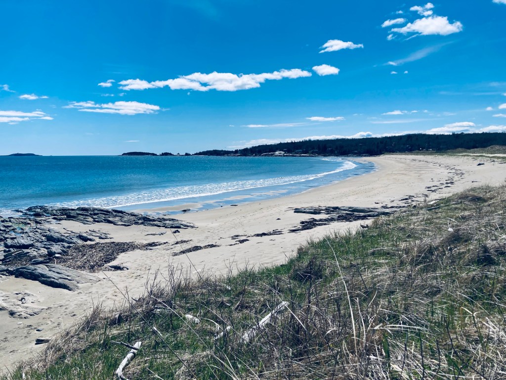
Half Mile Beach, Reid State Park, Georgetown, ME

We looked briefly at Half Mile Beach, then walked behind the dunes on a spur trail between the beach and the Little River, which can be closed in winter to protect the dunes. When open, this trail emerges with a long view towards Popham Beach. Returning through birdsong, we found the trailhead for the Little River Trail, unmarked but for a small wooden sign, on the northwest side of the lower (south) parking lot, past a series of picnic tables. This trail wound along the salt marsh alongside the Little River, with long ridges between the trail and water, and small boardwalks over streams.
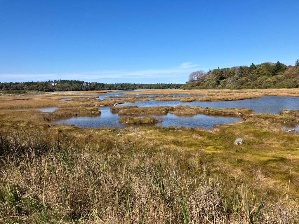
Salt Marsh, Little River, Reid State Park, Georgetown, ME

We heard woodpeckers and a bald eagle patrolling the open woods to the east. A large hill with a water tower, crossed by power lines, marked the highest point. A trail labeled as the Loop Trail divides at a woods road, with right taking you east to Todd’s Point Road and the park entrance, and left towards North Boundary Road and Seguinland Road. We turned left to make a longer loop.

Little River Trailhead from Todd’s Point, Reid State Park, Georgetown, ME

This trail skirted the edge of Ice Pond, along Seguinland Road, before turning back into the woods. We explored a spur on this small pond, where a prominent beaver lodge commanded the lagoon. A hermit thrush sang close to the path, and I played a thrush song from my phone, causing the curious bird to walk towards us with its chest puffed out and its mouth open. In October, we saw a large number of garter snakes enjoying the sunlight on the path. We continued through the woods until reaching the park entrance again, and then turned onto Griffith’s Head Road to return to the car. What to do post-hike? The center of Georgetown is at the end of Route 127, and in the summer months, Five Islands Lobster, adjacent to an ice cream shack, presides over unrivaled ocean views.

Beaver lodge on Ice Pond, Reid State Park, Georgetown, ME
Martin Ponds and Katahdin Lake Loop

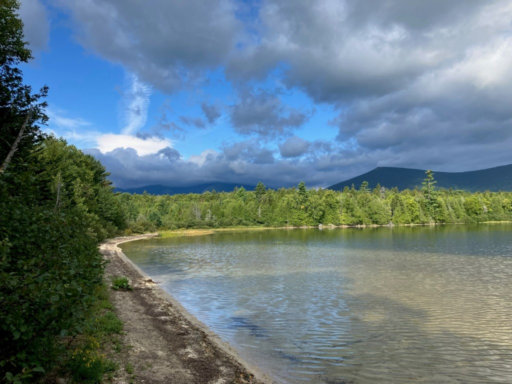
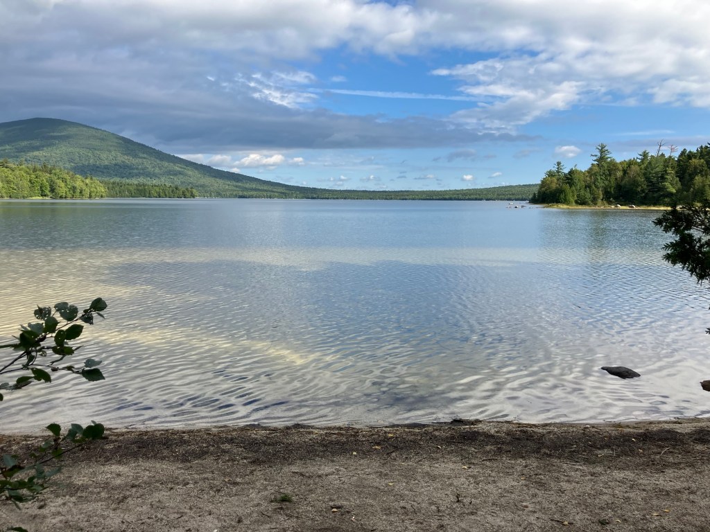
Katahdin Lake, Baxter State Park, Maine

The Martin Ponds and Katahdin Lake Loop departs from Avalanche Field, a quiet parking area off Roaring Brook Road, with an outhouse and the sound of Avalanche Brook rushing past. The lollipop loop has a couple options, and I chose to take the Katahdin Lake Trail to its namesake lake, reversing, and loop counterclockwise on the Martin Ponds Trail, back to the beginning, about 7.9 miles in about 3 easy hours. This can also be converted to a longer multi-day hike to Twin Ponds, using the lean-to sites along the way. Maps are available online from Baxter State Park – I used the guide from Hiking Maine’s Baxter State Park and my Baxter State Park Waterproof Trail Map. Baxter State Park has its own access and parking rules, which you can review here. Dogs are not allowed in Baxter State Park.

Katahdin Lake, Baxter State Park, Maine

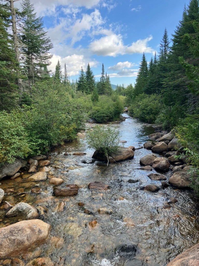
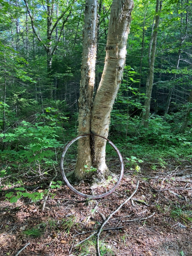
The trail starts downhill, and according to the Hiking Maine’s Baxter State Park guide, it used to be a buckboard road that took people to the commercial wilderness camp on the south side of Katahdin Lake. Just before a wooden bridge, there is a metal hoop that looks to be an old buckboard wheel rim. At about half a mile a sturdier wooden bridge crosses the rushing Sandy Stream. Just upstream and out of sight is Roaring Brook feeding into Sandy Stream.

Sandy Stream, Baxter State Park, Maine

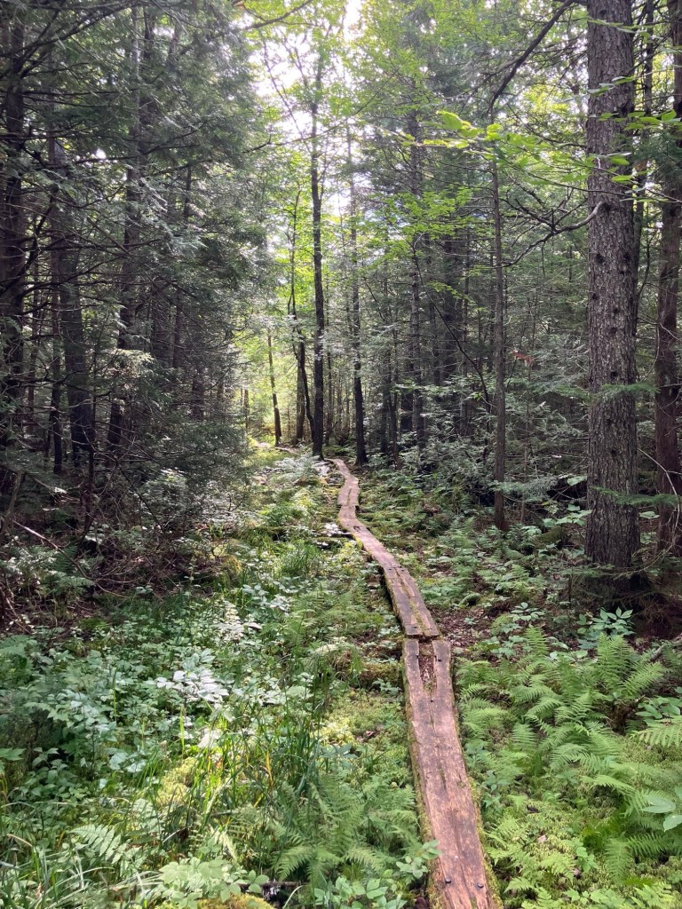
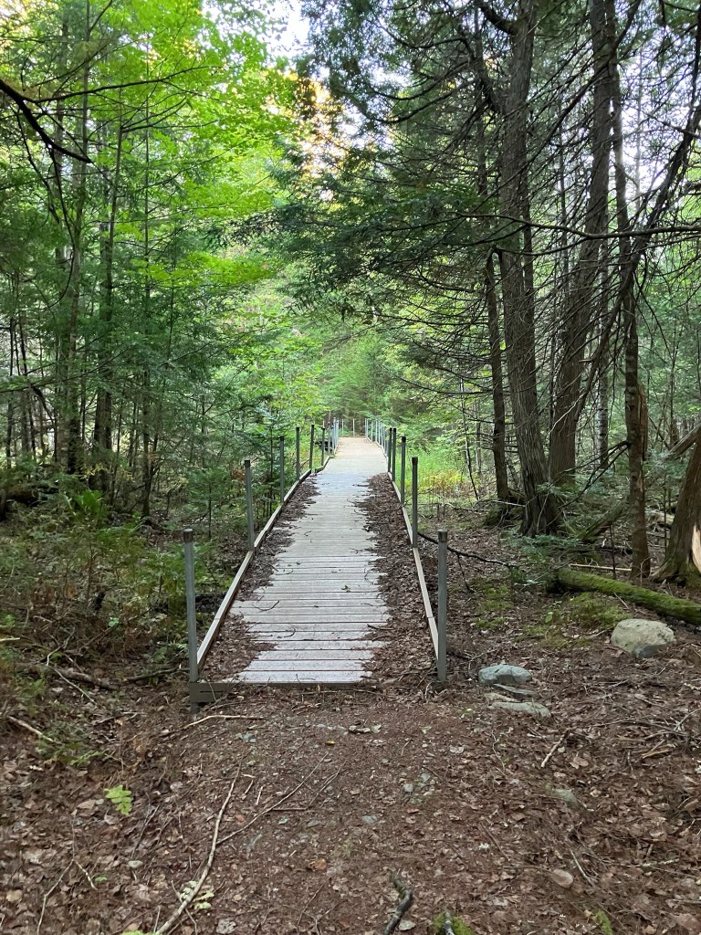
The path is alternately lined by blueberry, hobblebush, ferns, and moss. The dominant sound was that of red squirrels working feverishly in the forest surrounding the trail. A variety of frogs and toads were out, seeking the recent moisture from rare rains, I turned right onto the Katahdin Lake Trail, which seemed a little bit rockier. There were also plenty of moose droppings, but it looked old. This stretch included extended plank bridges over muddy and boggy areas, which was not really a problem, with the late-summer drought in full force. Insects were not a problem on this trip.

Plank bridge on trail to Katahdin Lake, Baxter State Park, Maine

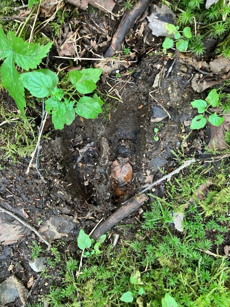
I continued past blue-bead lilies and bunch berries, and was spied on by a dark-eyed junco. There is an outhouse by Katahdin Lake, as well as a canoe rental area (through the ranger at Roaring Brook or Togue Pond Gate). Katahdin Lake is sizable, 649 acres, with plenty of wildlife, and would make a great day trip, combining the hike and canoe portions. The day use area to the east was empty, as well. Along the way, there were several plank bridges with the mud beside them, full of moose tracks.

Moose track near Katahdin Lake, Baxter State Park, Maine

Due to the angle of the shore, the viewpoint at the day use area does not include Katahdin, but it is a beautiful flat clear lake, nonetheless. The best viewpoint may well be down the shore from the picnic shelter as it extends a little further out into the lake next to an island, with a view of Katahdin. The 4,119 acre parcel on which the lake sits wasn’t acquired by Baxter State Park until December 2006. As of September 2026, BSP is engaged in a lawsuit with the building owner regarding the upkeep of the camps, which means there are buildings there in disrepair, but does not affect hiking.

Katahdin shrouded in clouds from Katahdin Lake, Baxter State Park, Maine

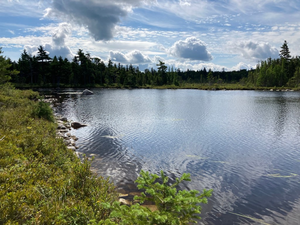
I turned right onto the Martin Ponds Trail, which skirts the shore for a bit. A belted kingfisher shadowed my progress, and what looked to be a solitary sandpiper was wading in the shallows. Due to some beaver engineering, this part of the hike does require somewhat of a stream crossing across a beaver dam. Wearing trail runners suited me well, as they drained quickly. A small laminated sign directed me to the trail. When in doubt, just hug the shore, and you’ll reach a blue-blazed cedar letting you know when to come back into the woods.

Beaver dam near South Katahdin Lake Lean-To, Baxter State Park, Maine

It’s a mossy path along the shoreline cedars, with a couple planks over streams that feed the lake, then turns inland into what looks like a game trail so look up every now and then, pick up the blue blazes, and make sure you don’t get off track. Along the way, there is a short hop over one of the nicest little mossy brooks that you’ll ever see. This trail was a little out of repair, with some of the plank bridges cracked and sagging. You will see some of the mountain scenery through the trees as you pass a bog, and the trail begins to climb a little bit on the approach to Martin Ponds.

Martin Ponds, Baxter State Park, Maine

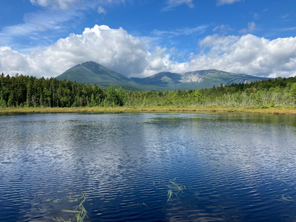
After the intersection with North Katahdin Lake Trail, Martin Ponds Trail circles the grassy shore with some views through the trees. The spur trail down to the Martin Ponds canoe launch is emphatically worth the view, with a raised plank bridge bounded by huckleberry bushes, at the end of which you can clearly see the entire mass of Katahdin across the pond. The rolling path back to the trailhead is easy and relatively flat (I was surprised by a trailrunner zooming past me, the only person I saw this morning).

Katahdin from Martin Ponds, Baxter State Park, Maine

(Disclaimer: This post contains affiliate links, and as an Amazon Associate Hiking in Maine blog earns from qualifying purchases.)

Rockland Bog Overlook Trail

Wildflowers near beginning of Rockland Bog Overlook Trail, Rockland, Maine

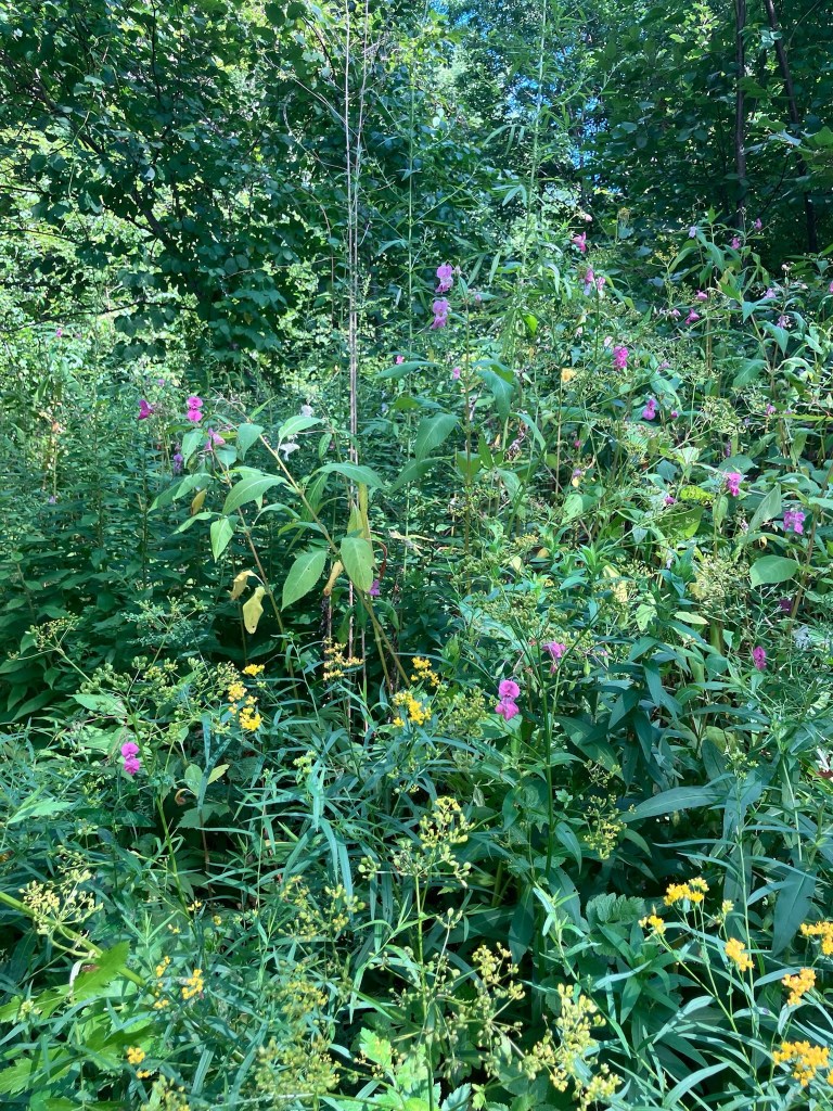
The Rockland Bog Overlook Trail is a short lollipop loop trail on land owned by the town of Rockland and maintained by the Georges River Land Trust (GRLT), both of whom have maps on their websites. The trail begins at a small gravel lot off Bog Road, where there were three other cars when I went there midday in late August. This parking lot is plowed in the winter, allowing for winter use. The trail is open from sunrise to sunset, and according to AllTrails, dogs are allowed on-leash. The narrow, blue-blazed path started with a variety of wildflowers, which give way to ferns and forest as you cross a small wooden bridge.

Rockland Bog Overlook Trail, Rockland, Maine

Apple trees off to the right and a stonewall to the left indicated what appeared to be a former orchard. Now, the quantity of insects was consistent with the proximity to a bog. Just past a dry creek, shortly after crossing over the stonewall, the trail split at about a quarter mile into the lollipop loop portion, which I took counterclockwise.

Stone wall, Rockland Bog Overlook Trail, Rockland, Maine

I heard plenty of birds, including the loud cawing of crows and eastern wood pee-wees. At the end of the trail, a massive mushroom sat by a tree marking the end of the trail, which appears to be under construction to continue longer.

Viewpoint of bog, Rockland Bog Overlook Trail, Rockland, Maine

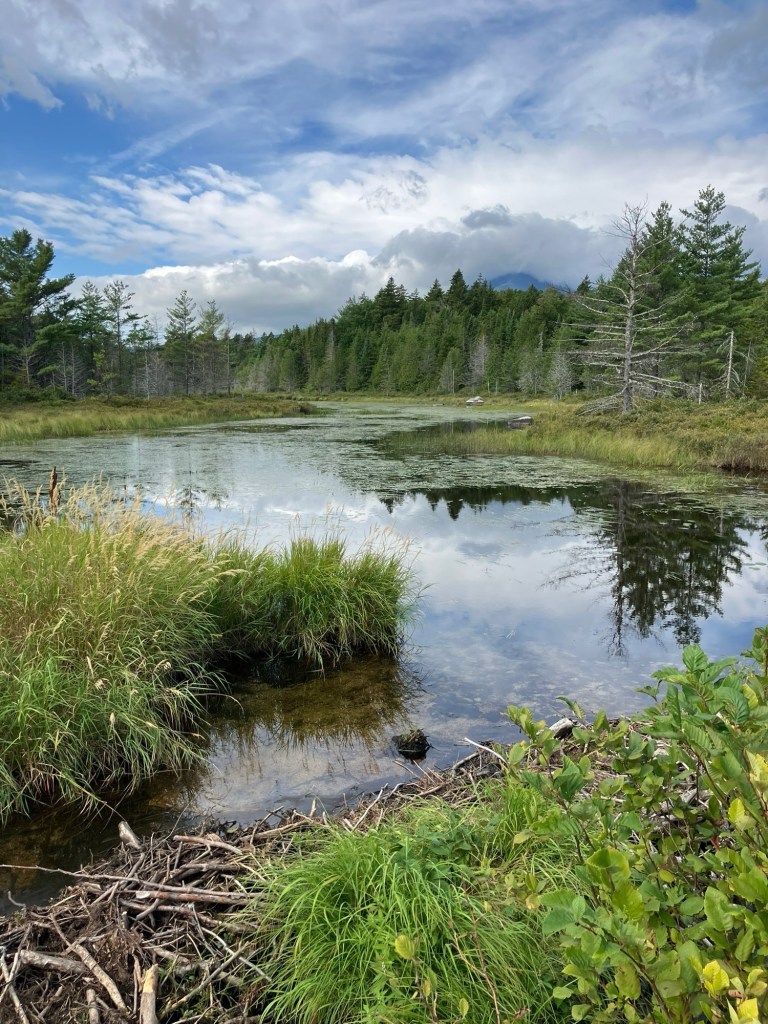
About halfway down the return loop, an overlook is available of the bog, which was impressive. A beaver lodge was visible even through the tall grass, through which birds moved back and forth. From here, it was a short walk back to the parking lot, a total of just under 3/4 of a mile, easily completed in under 20 minutes.

Rockland Bog Overlook Trail, Rockland, Maine

Traveler Mountain Loop (Baxter State Park)

Sun rising over Black Cat and South Branch Mountains from Traveler Loop

This loop route over Traveler’s bulk, which the AMC Maine Mountain Guide accurately describes as “starfish-shaped,” crosses Peak of the Ridges (3,254 ft), Traveler summit (3,550 ft), and North Traveler summit (3,152 ft). As it says on BSP’s website, “Preparation for a Traveler Loop hike is the same as a Katahdin hike,” due to the exposed nature of the hike, elevation gain, lack of available water, and distance. This is true, and in inclement weather, hikers should explore other options. To navigate, I used Map Adventures’ Katahdin Baxter State Park Waterproof Trail Map, but BSP’s official website also has free downloadable/printable trail maps, and the South Branch Pond map covers this area.

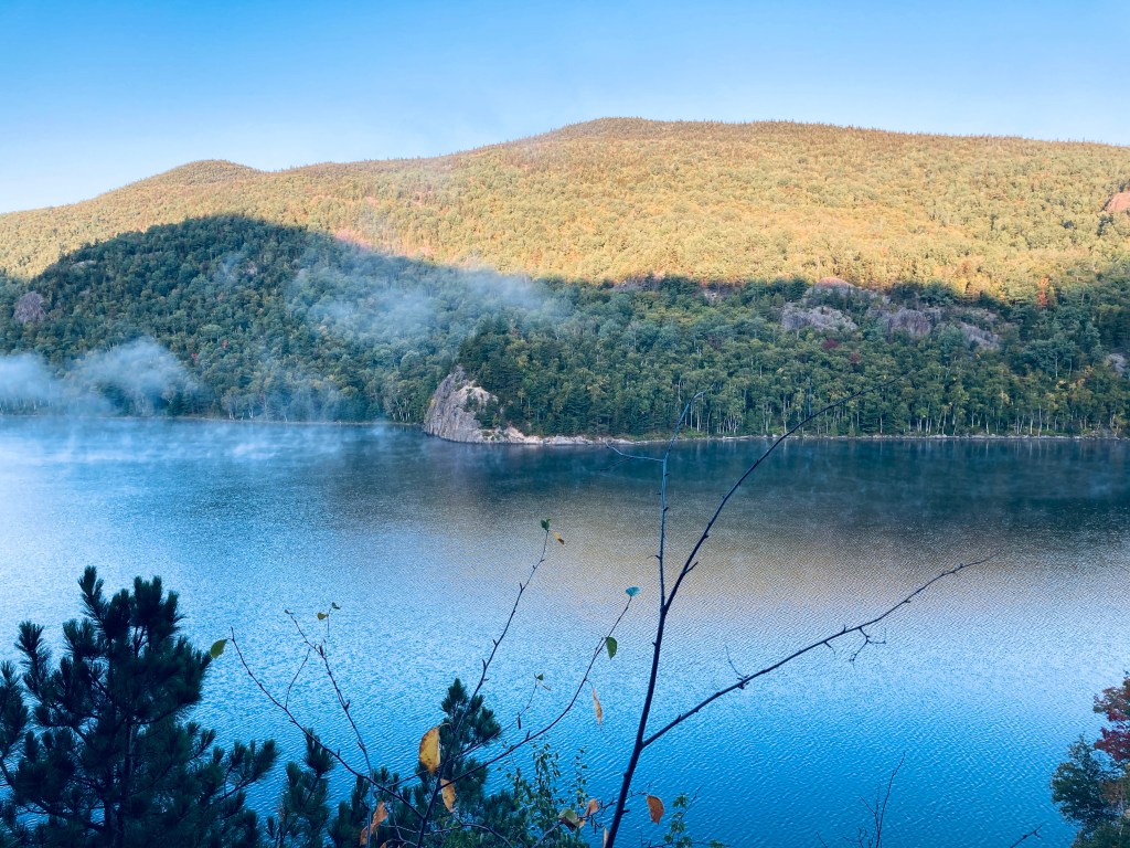
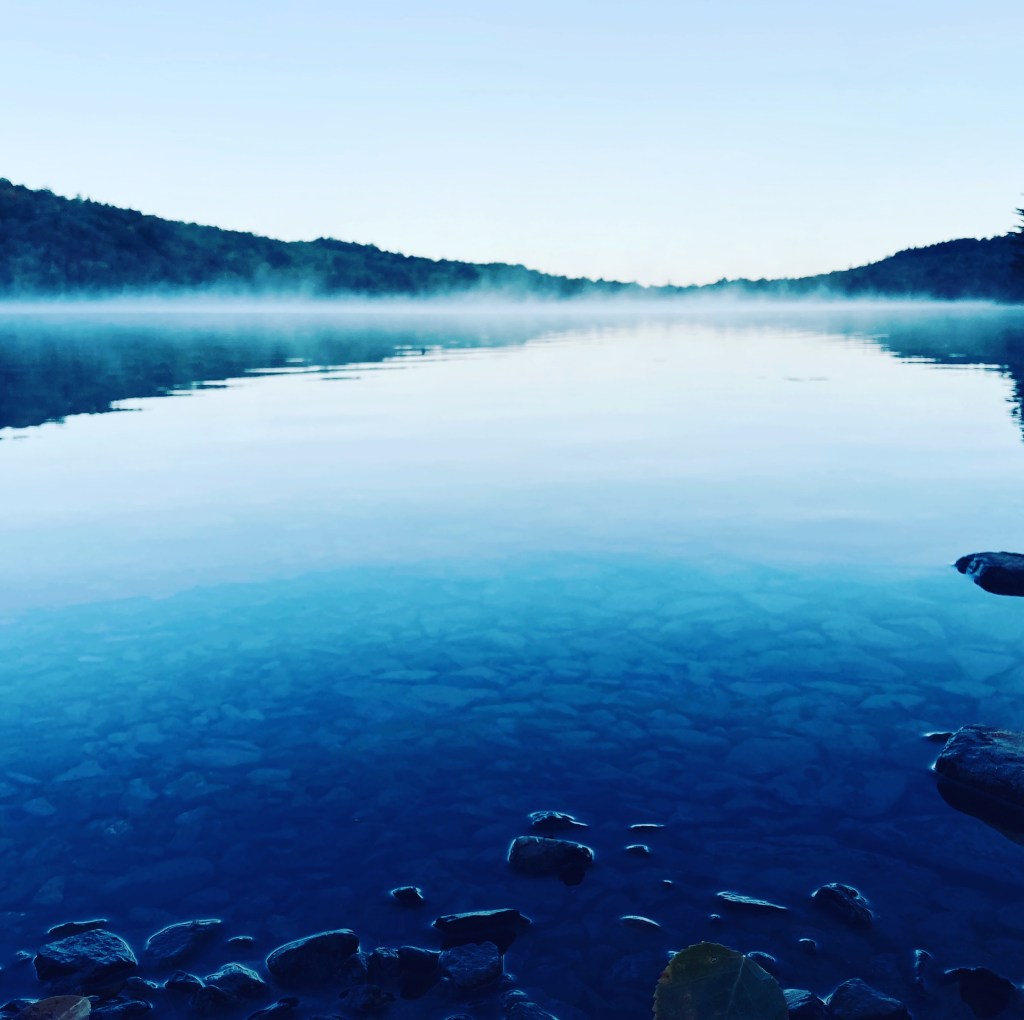
Lower South Branch Pond at dawn

The Traveler is a strenuous 10.1 mile loop hike over the rhyolite peaks of Traveler Mountain, the highest volcanic mountain in New England, with over 4,000 feet of total elevation gain. This full-day (6-10 hour) hike begins at Baxter State Park’s (BSP) South Branch Campground, and based upon advice from the AMC Maine Mountain Guide and Falcon Guides’ Hiking Maine’s Baxter State Park and BSP rangers, is best attempted counterclockwise via the Pogy Notch, Center Ridge, Traveler Mountain, and North Traveler trails. This is to avoid descending the steep, loose rock on the Center Ridge Trail.

Lower South Branch Pond from canoe launch in morning, Baxter State Park

Unlike Katahdin trailheads, no additional parking reservation is typically needed for the Traveler, and the closest parking to the trailhead is the South Branch Pond Campground day-use/back country lot. On each of the cool mid-September mornings I did my hike in 2020 and 2025, an early fog hung over South Branch Pond. The trail leads over plank bridges to a winding track along the edge of the pond, usually accompanied by the stuttering sound of a belted kingfisher. About .9 miles in, there are beautiful views of the pond from the south end at the canoe landing for the Howe Brook trail.

Balanced boulder, South Branch Pond, and the horizon from Center Ridge Trail, Baxter State Park’s Traveler Loop

The blue blazes lead up a steep rocky outcrop to continue up Pogy Notch Trail to its junction with the Center Notch Trail, with nice views along the pond. This is where the climbing really starts, and you’ll find yourself periodically grabbing for rocks and roots as handholds. I took a well-deserved rest after about 2 miles to make myself a coffee, let my feet air out a little, and send a proof-of-life text from elevation (South Branch Pond, like a lot of Baxter State Park, has no cell service).

Continue reading →

Oak Point Trail (Sunkhaze NWR)

Birch Stream in morning light, Oak Point Trail, Sunkhaze Meadows NWR, Milford, ME
The Oak Point Trail is a 2.8 mile out-and-back trail at Sunkhaze Meadows National Wildlife Refuge (NWR) in Milford, Maine, a town on the Penobscot just north of Bangor. Sunkhaze NWR is a 11,485 acre refuge that protects the Sunkhaze Meadows peat bog, as well as a large concentration of migratory birds. I navigated using the AllTrails app, but the best description and map are hosted by the Friends of Sunkhaze Meadows. Oak Point Trail is in the middle of the three trails on the south side of the NWR, next to Johnson Brook and Carter Meadow Trails, and directly across from The Nature Conservancy’s Bradley-Sunkhaze Preserve. As with all these trails at Sunkhaze NWR, they can be oppressively buggy and wet in late spring and early summer. I enjoyed the brisk, bug-free chill of mid-September. Dogs are allowed, but must be leashed at all times. Hunting is allowed, so wear blaze orange during hunting seasons.

Oak Point Trail, Sunkhaze Meadows NWR, Milford, ME

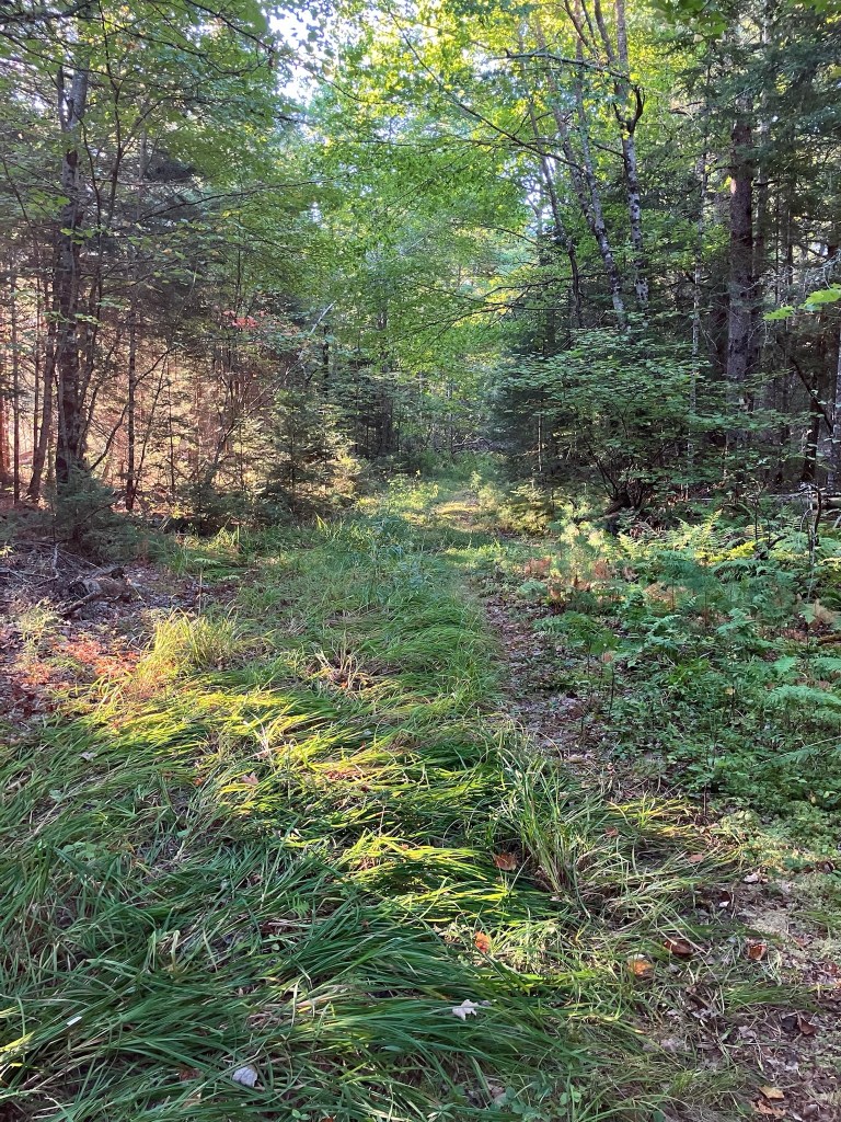
There’s a clearing between the trail and County Road that does not appear designed for parking. It’s better to park in the lot across County Road by Birch Stream. Small side trails to the right shortly after the hike’s beginning the hike have views from the banks of slow-moving Birch Stream. The surrounding forest rang with the morning calls of many large, loud jays. This trail is grassy and a bit overgrown, but easy to walk and to navigate. The light behind the forest to the right (east) slowly begins to open up to the large open marshy meadow behind it.

Viewpoint, Oak Point Trail, Sunkhaze Meadows NWR, Milford, ME

The marsh itself is visible through short spur trails to the right close to the end of the trail, and then at the end of the trail. I could see small songbirds hiding in the bushes surrounding the marsh, with many jays calling again. The tracks and flattened and trampled grass left behind by deer and moose were passive evidence of the recent presence of these larger animals. At the trail’s end there were more limited views, but several yellow-rumped warblers, hovering and moving around, waiting impatiently for me to leave. The easy, flat path was about an hour.

Morning light on Oak Point Trail, Sunkhaze Meadows NWR, Milford, ME

Johnson Brook Trail (Sunkhaze NWR)

Johnson Brook Trail, Sunkhaze National Wildlife Refuge, Milford, Maine

Johnson Brook Trail is a 3.3 mile loop trail at Sunkhaze Meadows National Wildlife Refuge (NWR) in Milford, Maine, a town on the Penobscot by Orono/Old Town. Sunkhaze is a 11,485 acre refuge that protects the Sunkhaze Meadows peat bog, as well as a large concentration of migratory birds. I navigated using the AllTrails app, but the best description and map are hosted by the Friends of Sunkhaze Meadows. Johnson Brook is the farthest east of the three trails on the south side of the NWR, next to Oak Point and Carter Meadow Trails. Dogs are allowed, but must be leashed at all times. Hunting is allowed, so wear blaze orange during hunting seasons. I started early (right at sunrise) on a mid-September morning from the small parking lot, with a definite chill in the air. From experience, Sunkhaze much earlier in the season can be pretty wet and buggy. I started along the flat, easy trail, with the sound of barking dogs at a nearby residence giving way to jays and chattering red squirrels.

Beaver pond spur on Johnson Brook Trail, Sunkhaze National Wildlife Refuge, Milford, Maine

The righthand spur heads east off the loop trail at about 4/10 of a mile, and I took this to see the beaver pond. The changing colors of the ferns and the deciduous trees, as well as the mist rising from the pond in the cool morning made this trip (less than a third of a mile) well worthwhile. At a little over a mile on the loop trail, you will reach a couple of raised boardwalks over the marsh, just before the second spur trail, which goes off to the right. At the time I came through, this spur was clearly marked off by a sign with a red line through a hiker, so it’s closed for now.

Johnson Brook Trail, Sunkhaze National Wildlife Refuge, Milford, Maine

After another boardwalk, the trail turns left to return to the east side of the loop. At this turn, there is a path back to County Road and there are two interpretive displays on vernal pools and songbirds. The trail and a bench on this part of the loop are dedicated to Janice Beckett, a former president of the Friends of Sunkhaze Meadows. I visited on a dry fall day, but the many boardwalks and plank bridges, the moss, and the dense cedar speak to how marshy this area is, typically. In mid-September, this was a nice, easy loop, taking about an hour, for late summer wildflowers and wildlife sightings.

Johnson Brook Trail, Sunkhaze National Wildlife Refuge, Milford, Maine

Central Penjajawoc Preserve

White Pine Loop, Central Penjajawoc Preserve, Bangor, ME

The Central Penjajawoc Preserve, a 182-acre trail network a short distance from downtown Bangor, is owned and maintained by the Bangor Land Trust, which has a helpful map and information on its website. No dogs or bicycles are allowed on the trails. The Preserve can be accessed from a small, signed parking lot on Essex Street, just south of the intersection with Burleigh Road. I hiked a loop in late September using the White Pine, Milkweed, and Penjajawoc Overlook Trails. The trail loop begins from a map kiosk as a narrow downhill path lined with ferns and wildflowers, and marked by diamond-shaped Bangor Land Trust placards on trees.

Tall White Pines, White Pine Loop, Central Penjajawoc Preserve, Bangor, ME

At the first trail junction (about a quarter-mile), I continued left on the White Pine Loop to go clockwise. The White Pine lives up to its namesake, and I enjoyed the sight and scent of the tall straight evergreens. As I moved further along the trail, there were low-lying marshy areas, mostly spanned with plank bridges, but in the early fall, it was dry enough that I had no issues with the mud. At about 2/3 of a mile, I hit the next trail intersection and continued left on the Milkweed Trail for the outer part of the loop.

Central Penjajawoc Preserve, Bangor, ME

I crossed a small stream lined with wildflowers and an open meadow, with the path now marked by flags. The footing was uneven, but the trail’s overall grade was flat and easy to follow. The trail dipped through a wooded area, back across a small stream, and then into another open meadow, with a similar density and variety of wildflowers. Just prior to the first (northernmost) Marsh Overlook, I encountered a massive tan toad with dark brown spots, who lumbered across the path, and then disappeared into the undergrowth.

Marsh Overlook on Milkweed Trail, Central Penjajawoc Preserve, Bangor, ME

I would describe the Overlook as more of a “through” look, a glimpse beyond the curtain of the trees to a large marsh, but no real elevation to look down from. I continued clockwise along the trail past the wildflowers and milkweed, following the flags, as the path is more of a game path here. Next turn was left, on the Penjajawoc Overlook Trail toward the second Marsh Overlook, which started through a small gap in a stonewall. I walked through another open meadow, this one higher and greener than the prior ones. This spur trail was a lot more overgrown, but still marked by flags and downtrodden vegetation, and fairly easy to follow. The field and its small islands of shrubs were full of chickadees, palm warblers, and eastern phoebe.

Overlook over Penjajawoc Marsh, Central Penjajawoc Preserve, Bangor, ME

I reached the second Marsh Overlook through a small stand of trees, and enjoyed the view, which was much more expansive than the first, hearing ducks in the distance. I paused and realized that I was covered in pollen from the waist down, following the walk through the meadow. The browns, gold, and yellow colors of early fall covered Penjajawoc Marsh and Penjajawoc Stream. On the return loop toward the parking area, I saw a small pile of bear scat on the pine-covered floor of the trail, as well as the signs of a small human encampment. The total loop was about 2.8 miles, taking only about an hour.

White Pine Loop, Central Penjajawoc Preserve, Bangor, ME

Kenduskeag Stream Parkway

Kenduskeag Stream from Kenduskeag Stream Parkway, Bangor, ME

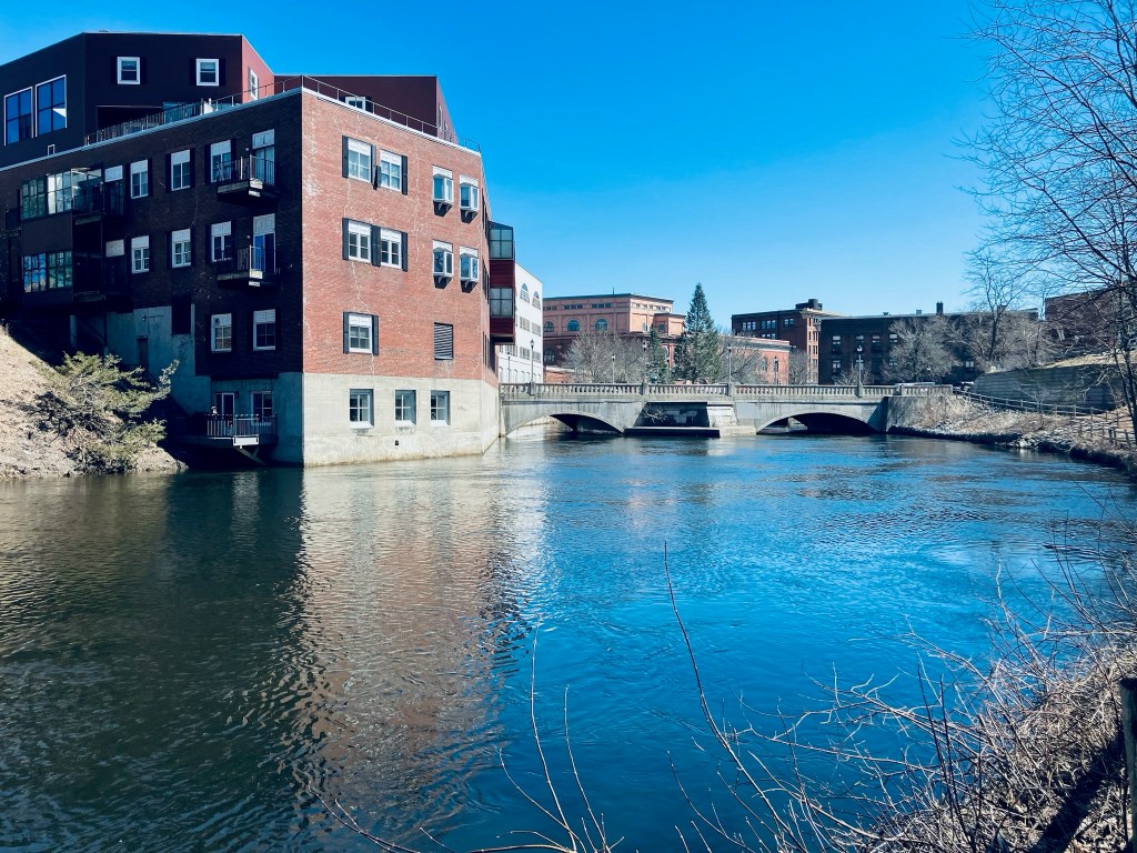
The Kenduskeag Stream Parkway traces its namesake waterway upstream from downtown Bangor, and is an easy out-and-back lunchtime hike totaling about two miles. You can start the hike from Coe Park (as recommended in AllTrails) or from various entries on Harlow or Franklin Streets, all of which give you about a mile to the trail’s end by the Maxfield Mill Dam. The path, maintained by the City of Bangor, is featured on their website, including a printable map.

Kenduskeag Stream from Kenduskeag Stream Parkway, Bangor, ME

I have completed this hike from Coe Park in spring and from downtown in the early fall, and each time it took about 40-45 minutes. From Coe Park, cross Court Street, passing the playground, and going downhill, veer left. In the winter time, with the foliage bare, you can see down from the hillside to the other side of the river.

Morse Bridge from Kenduskeag Stream Parkway, Bangor, ME

The trail winds down, doubling back to Morse Bridge across the Kenduskeag. This steel footbridge was installed in 1985 after a wooden version was burned by an arsonist. A word of warning – this trail is a bit dodgy, emblematic of the less-savory substance use and economic underbelly of Bangor. It’s more reminiscent of Stephen King‘s “Derry” than the Bangor tourism brochures would have you believe. A needle receptacle is typically not a point of interest on a hike. But no interactions made me nervous or feel unsafe. I have politely declined an offer from a man to buy my shirt, and exchanged pleasantries with a few people passing the time on benches.

Downtown Bangor from Kenduskeag Stream Parkway, Bangor, ME

Prior to Morse Bridge and to the right, the parkway will take you along the west bank back towards downtown Bangor, where the Kenduskeag eventually meets the Penobscot. I haven’t seen much wildlife here, but there are fish and ducks, and I heard the calls of song sparrow, American goldfinch, and chickadee. When heading upstream, be careful crossing Harlow Street, as the trail crosses a busy section of road where the crosswalk has been exfoliated by sand and grit, and cars coming down the hill from 95 or heading out of downtown will be unlikely to stop.

Kenduskeag Stream and dam remains from Kenduskeag Stream Parkway, Bangor, ME

At Gateway Park, there is a covered picnic area and an interpretive panel listing Gateway Park as the halfway point, and describing the history of the Kenduskeag. Uphill, trails lead down to the Kenduskeag rapids, for views and fishing. The remains of an old dam also rest on the banks, and in the watercourse. The trail ends at Maxfield Mill Dam, with signs across Valley Avenue indicating the area is closed.

Kenduskeag Stream in early fall from Kenduskeag Stream Parkway, Bangor, ME

Meduxnekeag River Trail

Meduxnekeag River Trail, Houlton, Maine

The Meduxnekeag River Trail, a lollipop loop in Houlton, is a stone’s throw from Maine’s border with Canada and starts from a variety of places. According to the brochure available at the trail kiosk, Meduxnekeag is Maliseet (one of the five tribes of the Wabanaki confederacy) for “rocky at its mouth.” On this first December day, I chose Riverfront Park, which has ample parking, and restroom facilities (May through October only) for a starting point. At about .6 miles on, the trail wound up the riverbank to the edge of an open field.

Meduxnekeag River Trail, Houlton, Maine

At this time of year, about four or five inches of snow covered the path, and I could read a mix of cross country ski tracks and footprints on the trail. In another week or two, I would need some traction devices or snowshoes, but for now, my body weight and good winter boots gave me the needed traction. I passed a double Adirondack chair, with views across the field, including a giraffe-like Irving sign on the horizon, which was less-than-scenic. The trail moved back into the woods about a mile in. This trail system has a couple loops built-in to make your own version of a hike, and even in December snow, I saw a couple people of various ages, including those with small kids, enjoying different levels of the trail.

Footbridge/ATV bridge on Meduxnekeag River Trail, Houlton, Maine

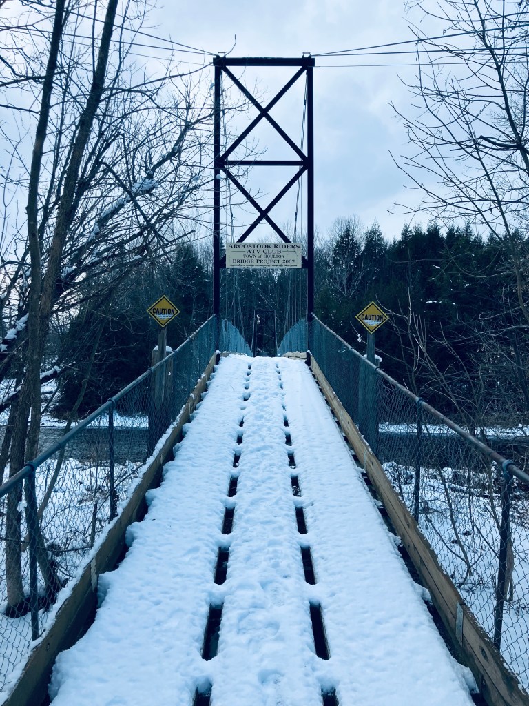
1.5 miles, the trail had a marker splitting “Easy” to the left, and “Moderate” to the right. I stuck to Moderate and started heading downhill towards a series of bridges. The trail crossed under the separate I-95 bridges- northbound (about to end) and southbound (just beginning) and reached the footbridge across at about 1.75 miles, a bridge shared by ATVs and people. This bridge definitely swayed with footfalls, and I trod down the snow and enjoyed the slow movement of the river. Across, the trail follows the bank under the two I-95 bridges and then goes back uphill along Cook Brook, which feeds the river, before tracing the brook briefly above some pleasant cascades and waterfalls and crossing back over it on a small wooden footbridge.

Meduxnekeag River Trail, Houlton, Maine

It was a quiet rolling walk along the riverbank until two small foot bridges across the creek led to a series of squiggles on the map at about 2.75 miles, which turned out to be switchbacks leading uphill. At about 3 miles, I passed the John H. Millar Civic Center, where the Community Park entrance of the trail comes in. Close to 3.5 miles, I emerged from the treeline, and saw the Highland Avenue bridge. Crossing the bridge was a little challenging, as the snow was piled high, and felt like walking across a series of Bosu Balls, but there was a great view at mid-span back along the slow river and then I took the long staircase back down to the riverside path and the parking lot. All told, about 4 miles in an hour and twenty minutes.

Meduxnekeag River Trail, Houlton, Maine

River Pond Nature Trail

Katahdin across River Pond, River Pond Nature Trail, Millinocket, Maine

River Pond Nature Trail is the outside loop of a trail system, all with logging names, dotted with interpretive displays, off the Golden Road in Millinocket between its namesake River Pond and the West Branch of the Penobscot River, not far at all from Baxter State Park’s Togue Pond gate. I took this trail loop, owned by Katahdin Forest Management, in mid-September as the last Sunday hike on the way out of the park on a weekend trip.

River Pond Nature Trail, Millinocket, Maine

Looking at reviews, it was uniformly described as buggy, but I didn’t have any problems with flies or mosquitoes in the cooler temperatures of early fall. The narrow Tenderfoot Trail through the forest started at a small kiosk by the large parking area, where there were two other vehicles. I moved counterclockwise, and at about .4 miles, just shy of a large boulder, I got my first view of Katahdin through a side trail that led down to River Pond.

River Pond Nature Trail, Millinocket, Maine

As I continued, two people coming towards me told me there were moose in the second clearing. I saw many clearings, no moose, but it’s always exciting to know they are out there. I reached Moose Point and the Timber Cruisers Trail and enjoyed the views across the pond of Katahdin, still nestled in clouds. The south side of the trail is more forested, with an occasional view of the West Branch of the Penobscot River below in the distance.

Katahdin across River Pond, River Pond Nature Trail, Millinocket, Maine

I did not take the River Driver’s Trail, which was a detour of a spur trail that would likely have culminated in better views, as I did not have the energy. Nevertheless, the rolling hills and springy pine-needle paths of the Forester’s Trail were a pleasant change from the rocky terrain of Baxter State Park. All told, the loop was about 4 miles, taking about an hour and 24 minutes.

River Pond Nature Trail, Millinocket, Maine