The Martin Ponds and Katahdin Lake Loop departs from Avalanche Field, a quiet parking area off Roaring Brook Road, with an outhouse and the sound of Avalanche Brook rushing past. The lollipop loop has a couple options, and I chose to take the Katahdin Lake Trail to its namesake lake, reversing, and loop counterclockwise on the Martin Ponds Trail, back to the beginning, about 7.9 miles in about 3 easy hours. This can also be converted to a longer multi-day hike to Twin Ponds, using the lean-to sites along the way. Maps are available online from Baxter State Park – I used the guide from Hiking Maine’s Baxter State Park and my Baxter State Park Waterproof Trail Map. Baxter State Park has its own access and parking rules, which you can review here. Dogs are not allowed in Baxter State Park.
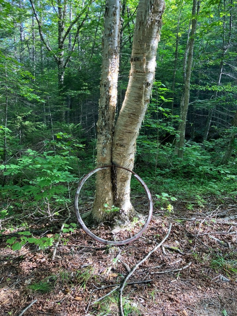
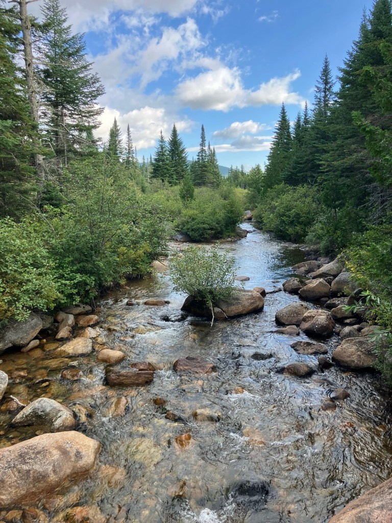
The trail starts downhill, and according to the Hiking Maine’s Baxter State Park guide, it used to be a buckboard road that took people to the commercial wilderness camp on the south side of Katahdin Lake. Just before a wooden bridge, there is a metal hoop that looks to be an old buckboard wheel rim. At about half a mile a sturdier wooden bridge crosses the rushing Sandy Stream. Just upstream and out of sight is Roaring Brook feeding into Sandy Stream.
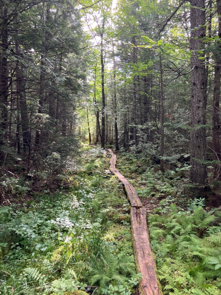
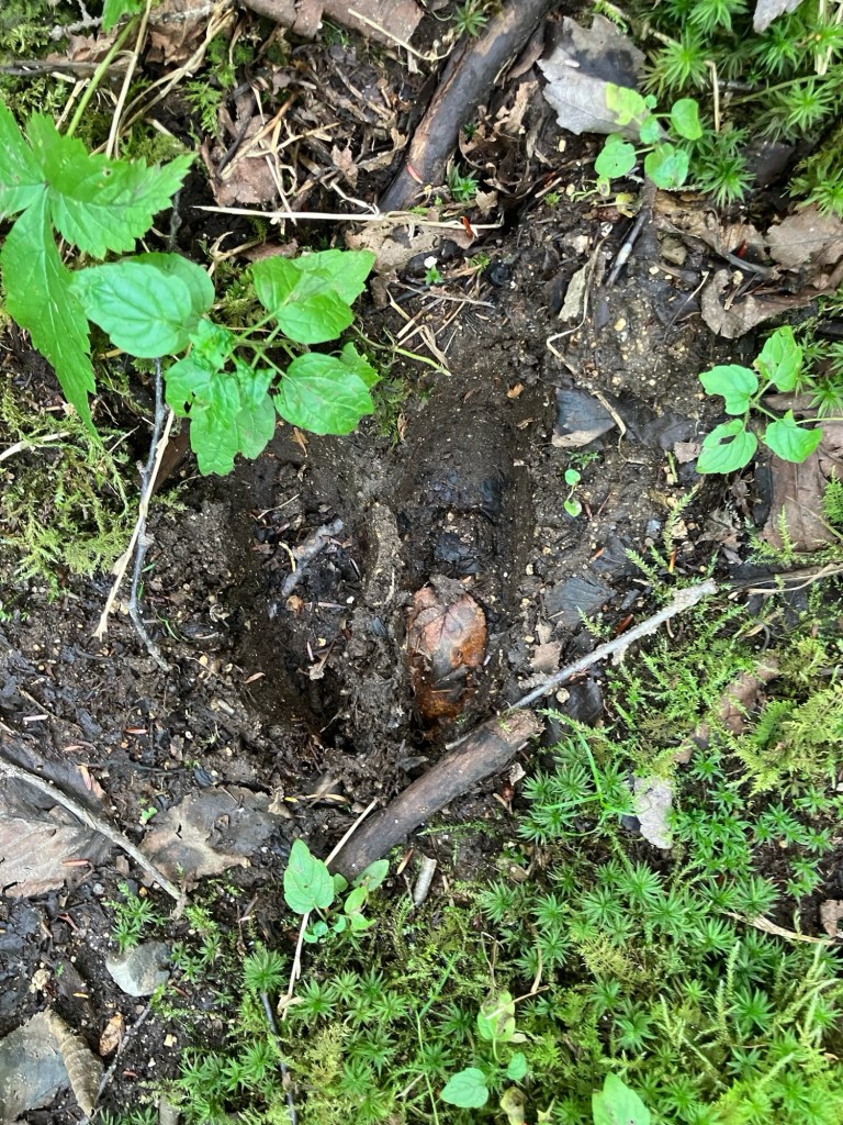
The path is alternately lined by blueberry, hobblebush, ferns, and moss. The dominant sound was that of red squirrels working feverishly in the forest surrounding the trail. A variety of frogs and toads were out, seeking the recent moisture from rare rains, I turned right onto the Katahdin Lake Trail, which seemed a little bit rockier. There were also plenty of moose droppings, but it looked old. This stretch included extended plank bridges over muddy and boggy areas, which was not really a problem, with the late-summer drought in full force. Insects were not a problem on this trip.
I continued past blue-bead lilies and bunch berries, and was spied on by a dark-eyed junco. There is an outhouse by Katahdin Lake, as well as a canoe rental area (through the ranger at Roaring Brook or Togue Pond Gate). Katahdin Lake is sizable, 649 acres, with plenty of wildlife, and would make a great day trip, combining the hike and canoe portions. The day use area to the east was empty, as well. Along the way, there were several plank bridges with the mud beside them, full of moose tracks.
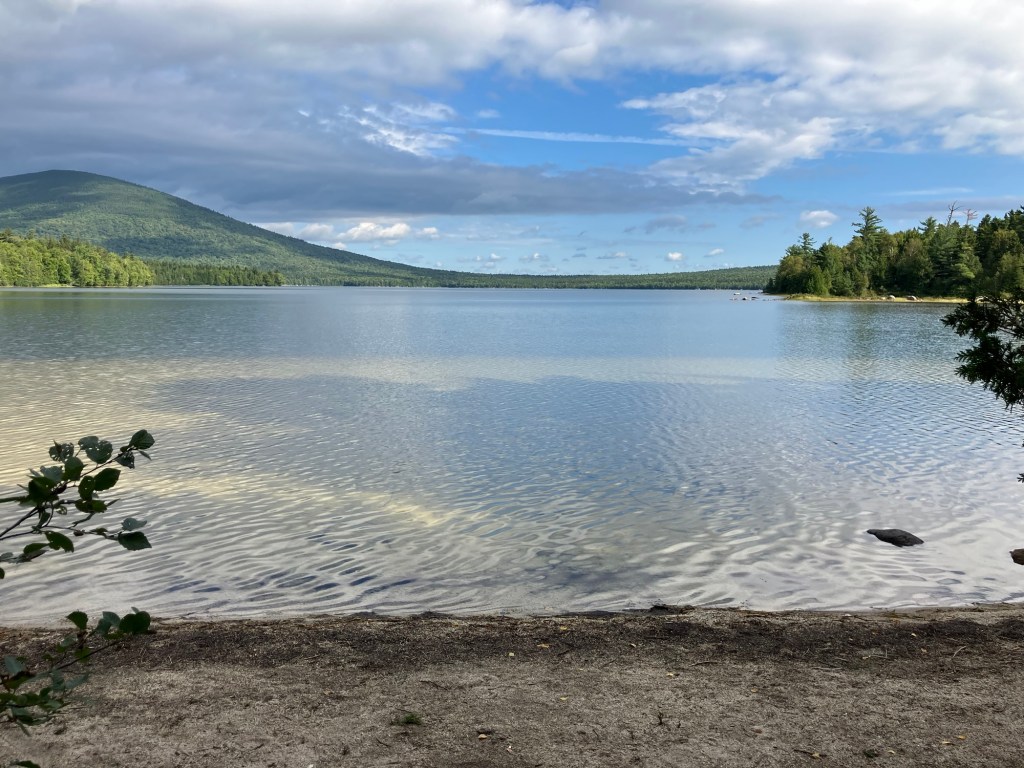
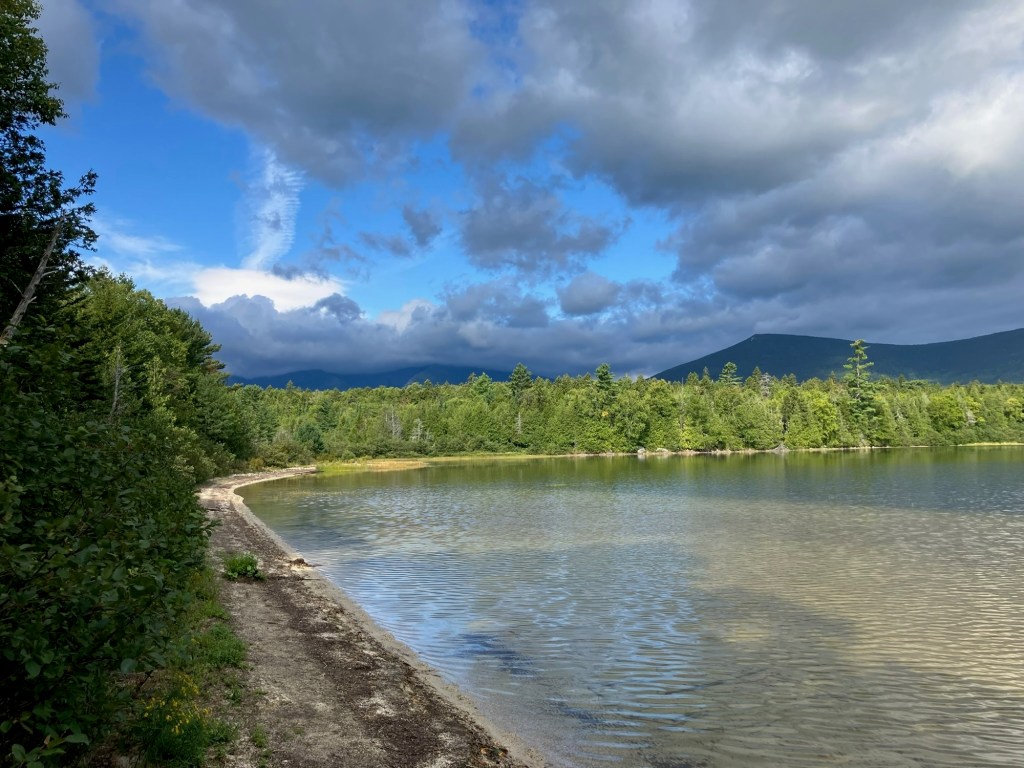
Due to the angle of the shore, the viewpoint at the day use area does not include Katahdin, but it is a beautiful flat clear lake, nonetheless. The best viewpoint may well be down the shore from the picnic shelter as it extends a little further out into the lake next to an island, with a view of Katahdin. The 4,119 acre parcel on which the lake sits wasn’t acquired by Baxter State Park until December 2006. As of September 2026, BSP is engaged in a lawsuit with the building owner regarding the upkeep of the camps, which means there are buildings there in disrepair, but does not affect hiking.
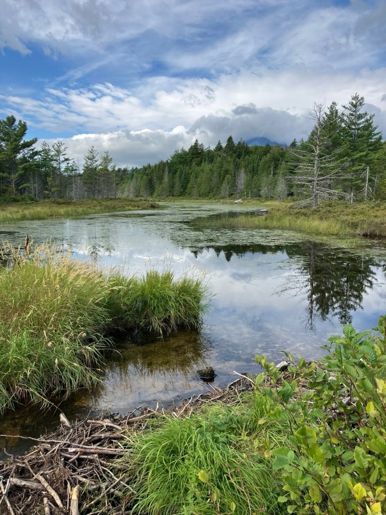
I turned right onto the Martin Ponds Trail, which skirts the shore for a bit. A belted kingfisher shadowed my progress, and what looked to be a solitary sandpiper was wading in the shallows. Due to some beaver engineering, this part of the hike does require somewhat of a stream crossing across a beaver dam. Wearing trail runners suited me well, as they drained quickly. A small laminated sign directed me to the trail. When in doubt, just hug the shore, and you’ll reach a blue-blazed cedar letting you know when to come back into the woods.
It’s a mossy path along the shoreline cedars, with a couple planks over streams that feed the lake, then turns inland into what looks like a game trail so look up every now and then, pick up the blue blazes, and make sure you don’t get off track. Along the way, there is a short hop over one of the nicest little mossy brooks that you’ll ever see. This trail was a little out of repair, with some of the plank bridges cracked and sagging. You will see some of the mountain scenery through the trees as you pass a bog, and the trail begins to climb a little bit on the approach to Martin Ponds.
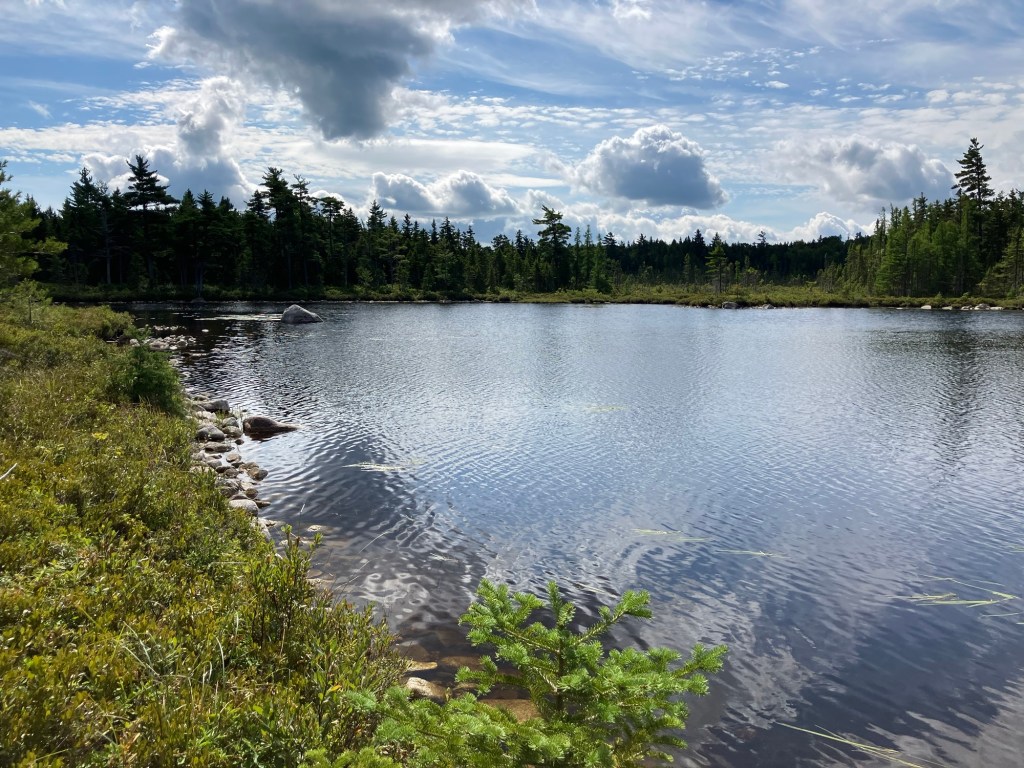
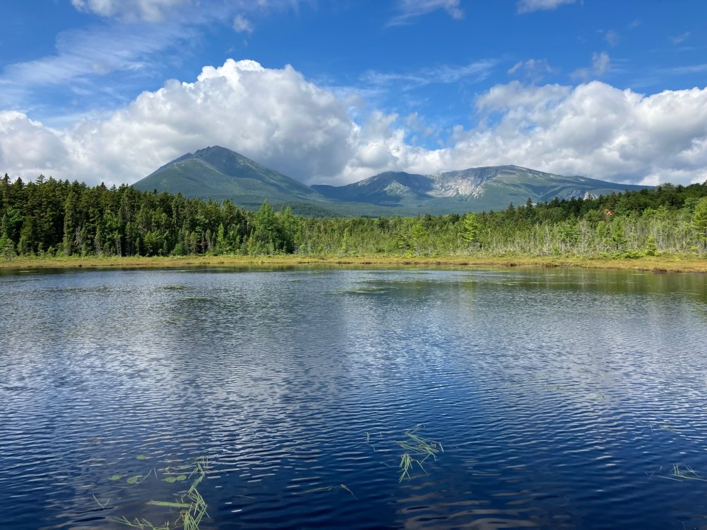
After the intersection with North Katahdin Lake Trail, Martin Ponds Trail circles the grassy shore with some views through the trees. The spur trail down to the Martin Ponds canoe launch is emphatically worth the view, with a raised plank bridge bounded by huckleberry bushes, at the end of which you can clearly see the entire mass of Katahdin across the pond. The rolling path back to the trailhead is easy and relatively flat (I was surprised by a trailrunner zooming past me, the only person I saw this morning).
(Disclaimer: This post contains affiliate links, and as an Amazon Associate Hiking in Maine blog earns from qualifying purchases.)

