This loop route over Traveler’s bulk, which the AMC Maine Mountain Guide accurately describes as “starfish-shaped,” crosses Peak of the Ridges (3,254 ft), Traveler summit (3,550 ft), and North Traveler summit (3,152 ft). As it says on BSP’s website, “Preparation for a Traveler Loop hike is the same as a Katahdin hike,” due to the exposed nature of the hike, elevation gain, lack of available water, and distance. This is true, and in inclement weather, hikers should explore other options. To navigate, I used Map Adventures’ Katahdin Baxter State Park Waterproof Trail Map, but BSP’s official website also has free downloadable/printable trail maps, and the South Branch Pond map covers this area.

The Traveler is a strenuous 10.1 mile loop hike over the rhyolite peaks of Traveler Mountain, the highest volcanic mountain in New England, with over 4,000 feet of total elevation gain. This full-day (6-10 hour) hike begins at Baxter State Park’s (BSP) South Branch Campground, and based upon advice from the AMC Maine Mountain Guide and Falcon Guides’ Hiking Maine’s Baxter State Park and BSP rangers, is best attempted counterclockwise via the Pogy Notch, Center Ridge, Traveler Mountain, and North Traveler trails. This is to avoid descending the steep, loose rock on the Center Ridge Trail.
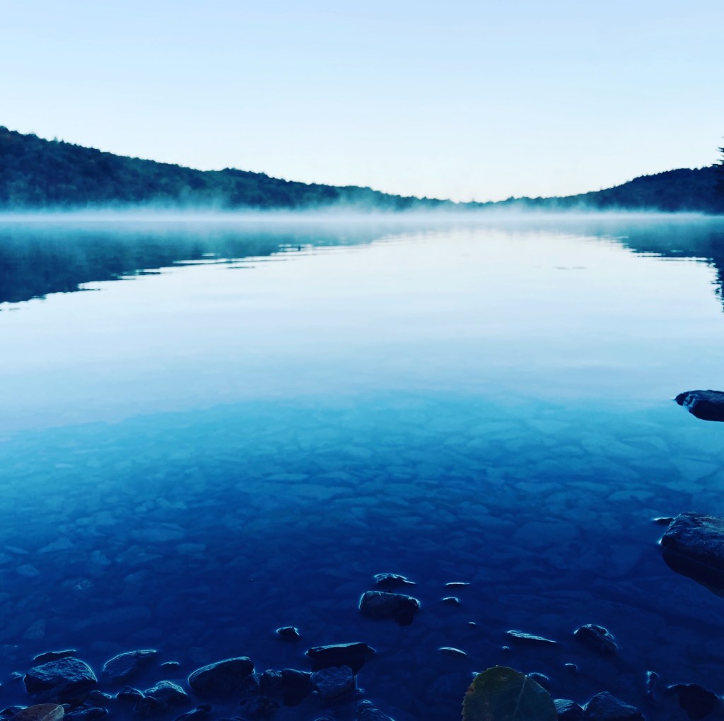
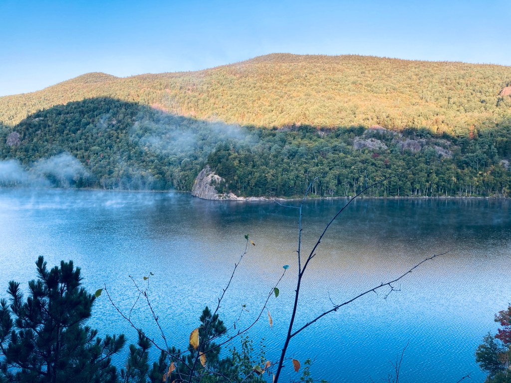
Unlike Katahdin trailheads, no additional parking reservation is typically needed for the Traveler, and the closest parking to the trailhead is the South Branch Pond Campground day-use/back country lot. On each of the cool mid-September mornings I did my hike in 2020 and 2025, an early fog hung over South Branch Pond. The trail leads over plank bridges to a winding track along the edge of the pond, usually accompanied by the stuttering sound of a belted kingfisher. About .9 miles in, there are beautiful views of the pond from the south end at the canoe landing for the Howe Brook trail.

The blue blazes lead up a steep rocky outcrop to continue up Pogy Notch Trail to its junction with the Center Notch Trail, with nice views along the pond. This is where the climbing really starts, and you’ll find yourself periodically grabbing for rocks and roots as handholds. I took a well-deserved rest after about 2 miles to make myself a coffee, let my feet air out a little, and send a proof-of-life text from elevation (South Branch Pond, like a lot of Baxter State Park, has no cell service).
Continue reading