Trout Mountain Preserve

Millinocket Lake from Observation Tower, Trout Mountain Preserve, T2 R9, Maine

Trout Mountain (1,409 ft) is the centerpiece of a 3,598 acre Preserve owned and managed by The Nature Conservancy (TNC), adjacent to the south side of Baxter State Park, and open from dawn to dusk (no overnight camping). Information and trail maps can be found on TNC’s Trout Mountain Preserve website. This hike is also fully described in The AMC Maine Mountain Guide. The relatively easy trail to the Trout Mountain summit, listed by TNC as 2.7 miles one-way, capped by an 80-foot observation tower, measured a total of 5.26 miles roundtrip by my AllTrails app, with only 827 feet elevation gain, the whole thing taking about an hour and 45 minutes.
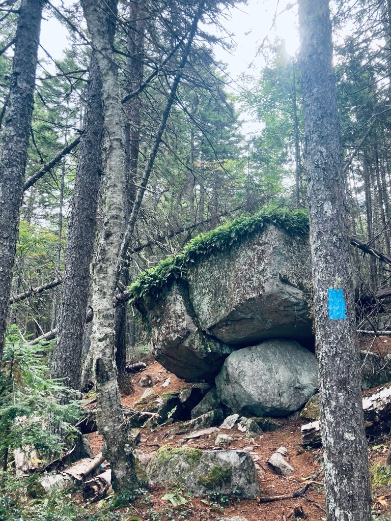
Fern-covered boulders, Trout Mountain Preserve, T2 R9, Maine

The trail starts from a small kiosk accessible from the same turn as the large emergency helicopter landing area, just short of Baxter State Park’s Togue Pond Gate, where a bald eagle circled when I drove through. The trail is a well-maintained single track that is fairly rocky. After the Nature Conservancy sign welcoming you to The Trout Mountain Preserve, the trail winds through a widely spaced young forest with knee-high ferns.

Trout Mountain Preserve, T2 R9, Maine

After 2 miles, the incline increases quickly, but it’s through such a beautiful green, moss-covered forest with hobblebush and bright red berries that the strain likely won’t hit you for a little bit. I reached the tower in a little less than an hour’s time. It looked incongruent on this quiet mountain, but I was grateful for its elevation in order to see the surrounding countryside.

Observation Tower, Trout Mountain Preserve, T2 R9, Maine

The tower, which a stamp shows was erected in 2020, seemed absurdly tall while climbing it, and even taller once I was at the top. I could see the surrounding north Maine woods, Millinocket Lake, and Katahdin shrouded with clouds, looking like the cloud would move away soon. There is also an outhouse near the summit. I had the tower to myself, and enjoyed the meager remains of my trail snacks from a weekend at Baxter State Park. The hike back was almost uniformly downhill, and I passed another solo hiker, then a small family, each headed up to the top.

Katahdin from Observation Tower, Trout Mountain Preserve, T2 R9, Maine

(Disclaimer: This post contains affiliate links, and as an Amazon Associate Hiking in Maine blog earns from qualifying purchases.)

Chaffin Pond Loop (Windham, ME)

Chaffin Pond, Donnabeth Lippman Park, Windham, ME

Chaffin Pond is located in Donnabeth Lippman Park, a 123 acre community park owned by the Town of Windham. A map and more information is located on this Town of Windham website. The park is tucked in on the north side of Route 302 off bumpy Chaffin Pond Road. No hunting is allowed in the park, but fishing is permitted.

Chaffin Pond from south end, Donnabeth Lippman Park, Windham, ME

In late August, Pig and I checked out the quiet, shaded trails in late August. The wide, flat Yellow Trail circumnavigates the 10 acre pond, departing a large parking area with a restroom and picnic tables. We used this loop for an easy 1.25 mile hike that took about half an hour.

Yellow Trail, Donnabeth Lippman Park, Windham, ME

Small side trails lead to the shoreline from the wooded path, and I heard a pileated woodpecker call loudly through the nearby forest, as well as many northern cardinals. A wooden boardwalk spans the swampy inlet at the north side of the pond, surrounded by wildflowers, dragonflies, and bees.

Boardwalk at inlet to Chaffin Pond, Donnabeth Lippman Park, Windham, ME

Pig managed to get into the mud on the side of this elevated walk and splash around. The west side of the pond has many good viewpoints, with plenty of water birds and long, bumpy logs full of turtles. We only saw one other hiker, but there were plenty of people at the south end of the pond.

Pig looks out over Chaffin Pond, Donnabeth Lippman Park, Windham, ME

Black Brook Preserve Loop (Windham, ME)

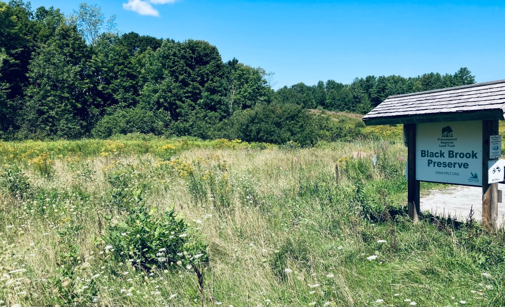
Black Brook Preserve, Windham, ME

Black Brook Preserve is owned and maintained by the Presumpscot Regional Land Trust (PRLT). This 105-acre preserve in Windham is accessible through a small, clearly marked parking area just to the south side of Black Brook and Route 202 on Windham Center Road, with another small trailhead on Route 202. PRLT has the best map and description of the well-maintained hiking trails, accessible here. Dogs on leash are allowed, and as hunting is permitted, blaze orange is recommended for all in the fall.

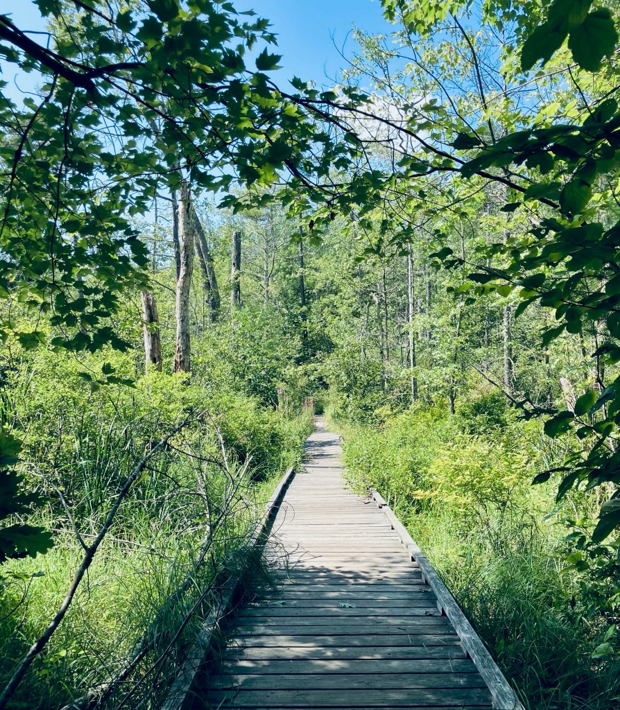
Black Brook Preserve, Windham, ME

Pig and I took the Hawkes Trail to the Deer Trail and Diamond Trail to make an easy clockwise lollipop loop of about 2.1 miles that took just under an hour at a leisurely pace in late August. Plank bridges span muddy areas and small streams along the route, which is mostly shaded (a nice feature in the summertime, especially along the Family-Friendly Loop. Chipmunks, squirrels, and birds chattered in the surrounding forest. At about a half-mile, we switched over to the Deer Trail to continue the loop, and the trees opened up a little bit, letting in more sunlight.

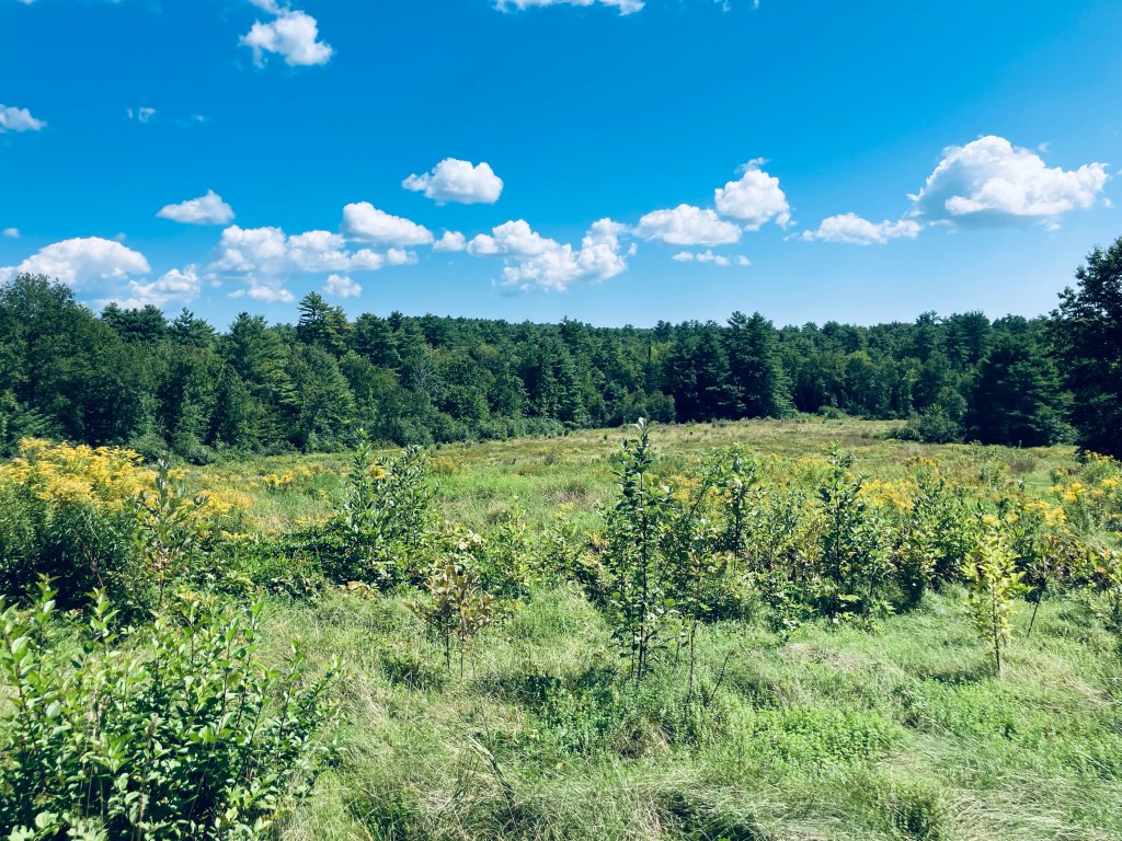
Field Loop, Black Brook Preserve, Windham, ME
Continue reading →