Schoodic Mountain (1,069 ft) is a relatively low mountain with excellent views due to its open summit and prime coastal location in Hancock County’s Donnell Pond Public Reserved Land, just south of the Blackwoods Scenic Byway (Rte 182). This is about a 2.8 mile loop, and it took about an hour and a half, with plenty of stops to enjoy. Consider adding more time to take a swim at Schoodic Beach. Full description and maps are available in the excellent books Dog-Friendly Hikes in Maine or the AMC Maine Mountain Guide, or free/printable from Maine’s DPPRL site. Dogs are allowed off-leash on the trails, if under strict control, but must be on-leash at beaches and campsites, and cleaned up after at all places.
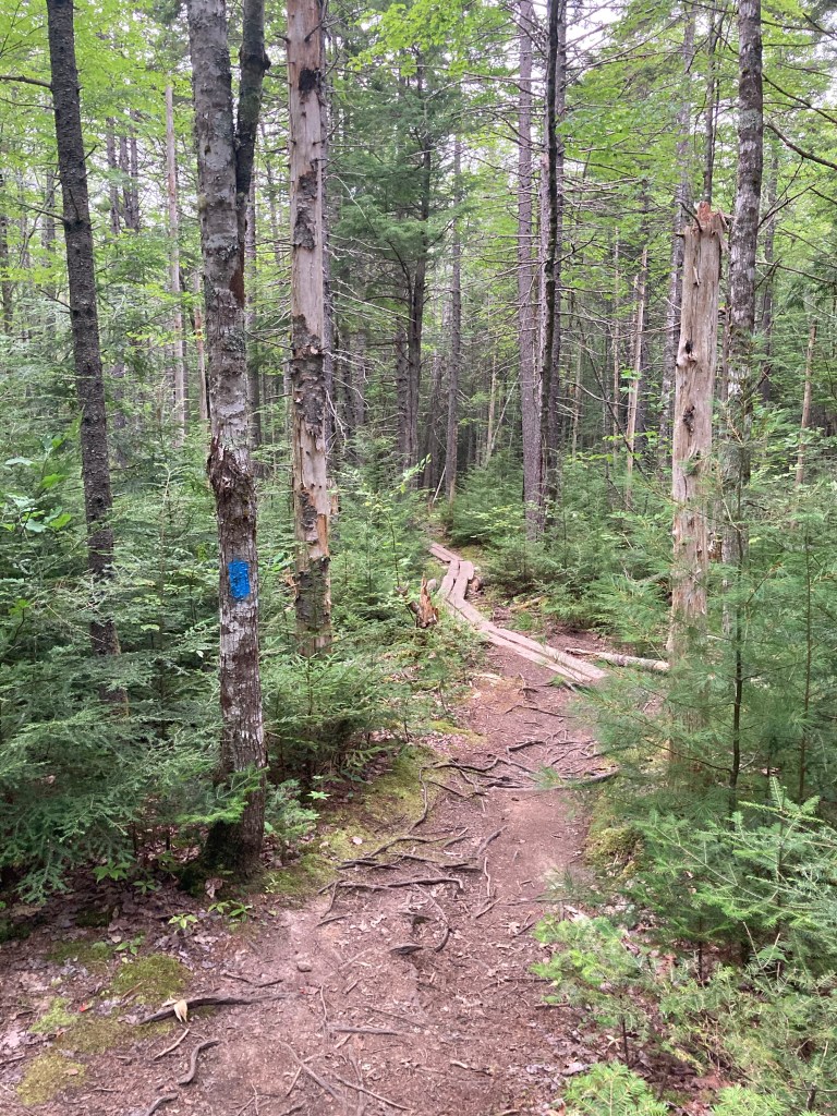
Prior to 7 AM on a Monday morning in August, the parking lot on Schoodic Beach Road was almost entirely full, mostly with people staying overnight at the camping areas. Pig (the dog) and I found a parking spot and then the trailhead for the Schoodic Mountain Trail, which is right next to the outhouse. This path starts downhill, marked by blue blazes, and crosses over a small bubbling stream. After this, the trail shifts uphill over rocks and roots.
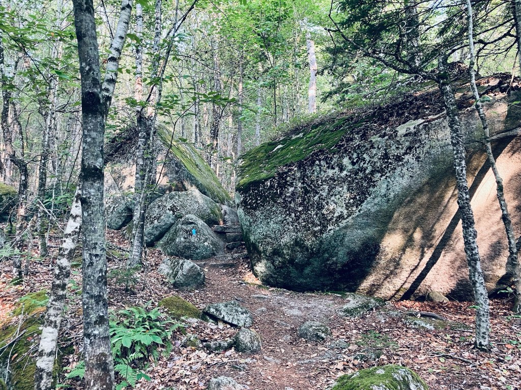
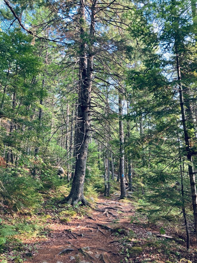
Up the hill there’s a field of massive boulders, with the trail weaving its way through them. Pig and I continued winding up the gentle ridges on switchbacks over rocks and roots through moss, boulders and ferns. At just under half a mile, the view to the right begins to open up as the trail climbs up the ridge, taking on a more rolling (up and down) aspect, following some obstructed views.
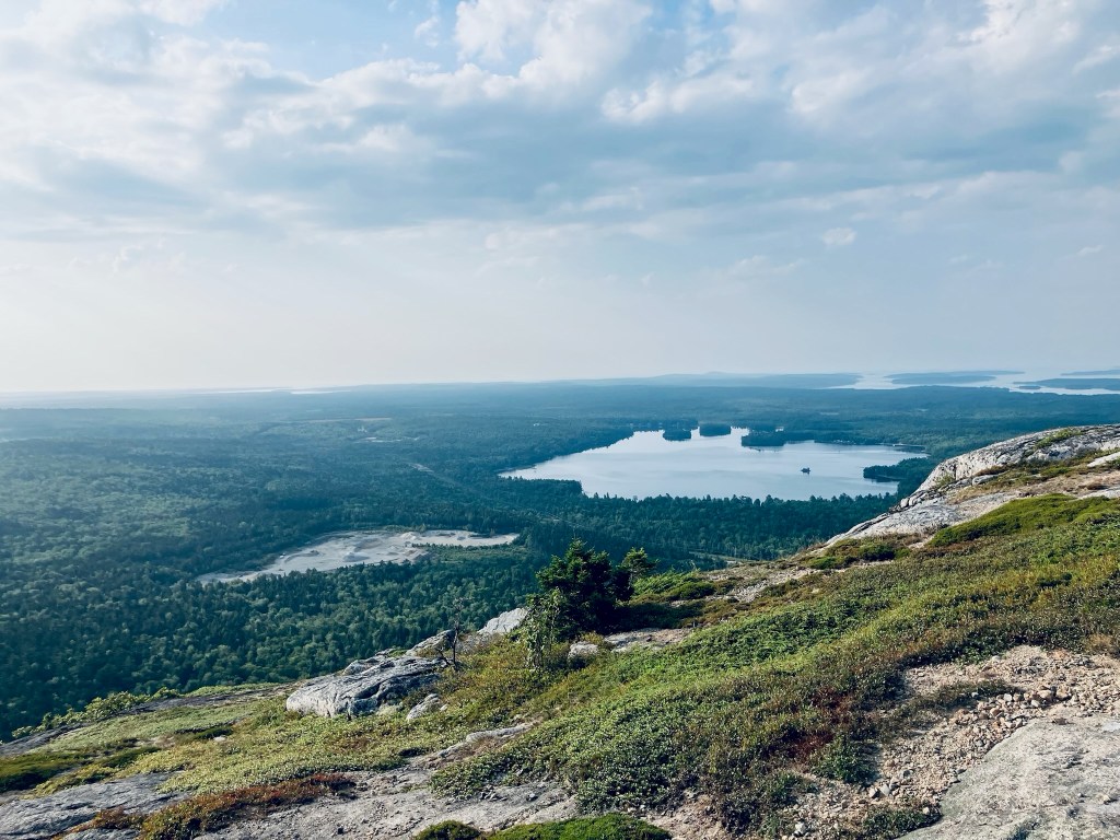
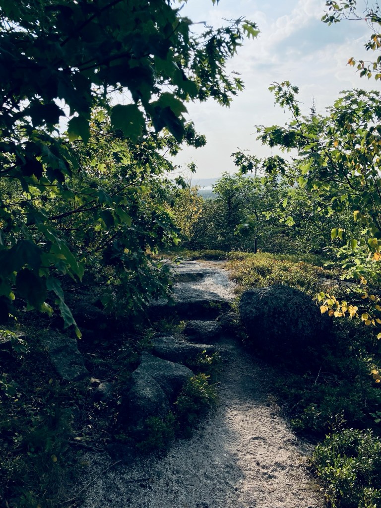
Low wild, blueberry bushes line both sides of the trail, and in this mid-August heat, the leaves were still green, but the fruit had since gone by. A few dry powder-blue berries remained. Higher up, there were a few more huckleberries. The trees were lower and scrubbier as the climb continued.
Continue reading