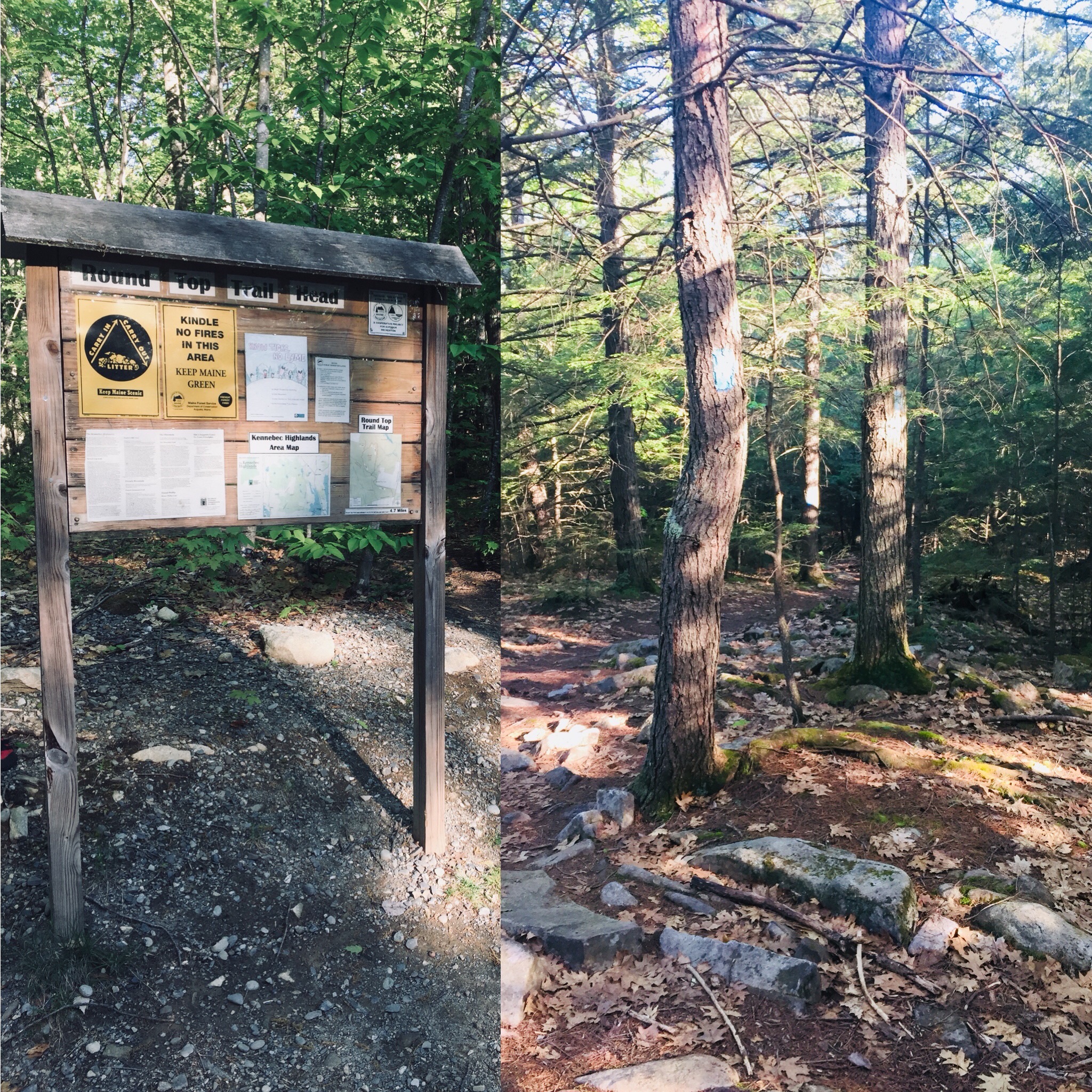
McGaffey Mountain (1,288 ft), named for 19th century Mount Vernon resident Charles McGaffey, is the highest point in Kennebec County, and the trail to its wooded summit shares a Kennebec Highlands parking area in Rome with the trail to Round Top Mountain. The “A” Trail, a multi-use trail, diverges from the trail to Round Top a little less than a quarter mile in, in an unsigned left turn (Round Top Trail, however, is marked). It was quiet on the early July morning I visited, and I only saw two others, who were riding mountain bikes.
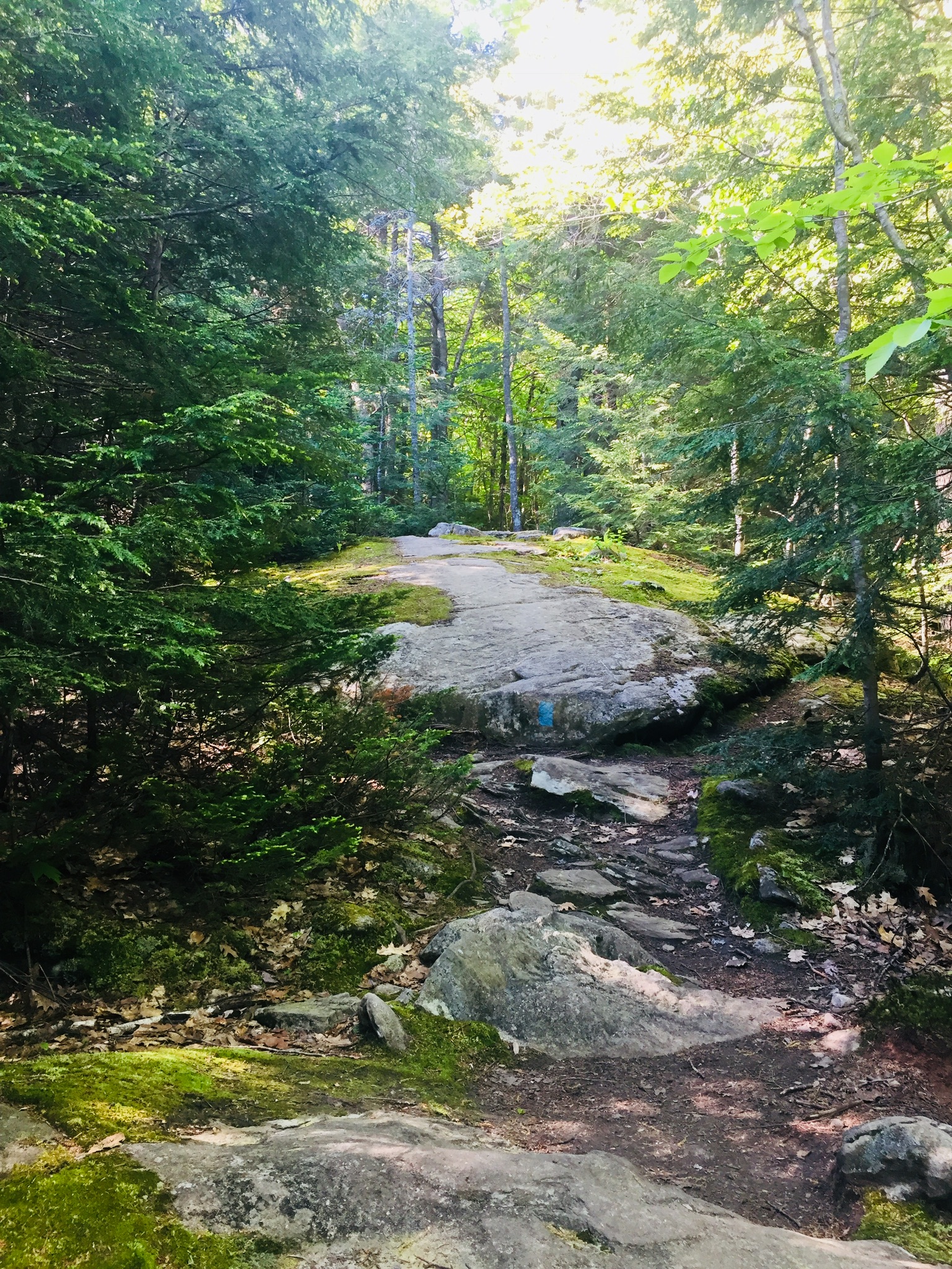
I navigated using AllTrails, but a printable trail map is available from the 7 Lakes Alliance, which maintains the trails. A map is also inside the Maine Mountain Guide. AllTrails listed this hike as “Hard,” which relates to the distance (9.6 miles) and time, rather than the elevation. The A Trail is mostly unmarked, but provides a clear path, shared by mountain bikes. Like any mixed-used trail, it is graded relatively flat, and made to move quickly. At just under a mile, the trail crosses a logging road or ATV trail, and at about 1.3 miles, another old logging road, and passes over a moss-covered brook.

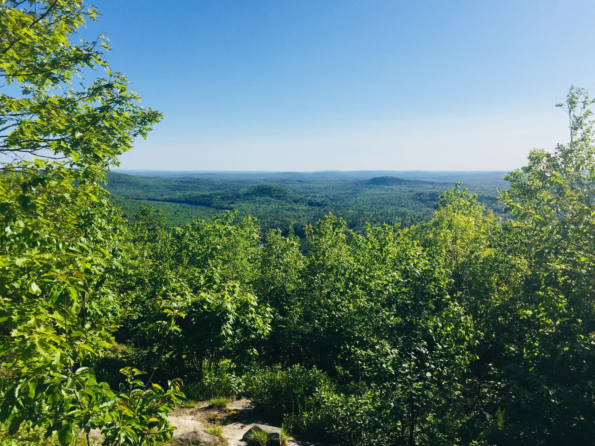
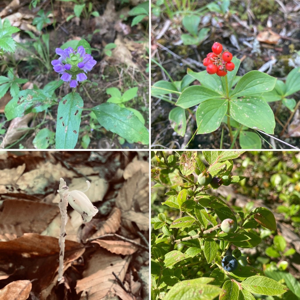
The series of switchbacks heading up the mountain coincided with the beginning of hermit thrush songs. At about 3.3 miles, there is an open overlook looking east over Long Pond. The trail proceeds over rolling terrain, including sunlit boulders and blueberries, until reaching the summit, marked by the wooden handle of a tool protruding from a rock cairn.
Continue reading