(Note: The Katahdin Loop Road opened for the 2020 season on Saturday, May 23. U.S. National Park Service advises to drive with caution and be alert for soft spots and rough road sections. Haskell and Big Spring Brook Huts are temporarily closed, and updates will be posted to the NPS website.)
Our trip around the Loop Road at the end of last summer to Katahdin Woods and Waters National Monument left us wanting more, and after a rainy but pleasant day at Baxter State Park on Saturday, we set out the next morning for the Monument to hike to Orin Falls. This 6-mile hike, out and back on old logging roads along Wassataquoik Stream, is a perfect fall walk. The AMC Maine Mountain Guide has a description of the hike, and Maine Hikes Off the Beaten Path by Aislinn Sarnacki has a longer treatment, as well as a helpful map. We used the Map Adventures Katahdin Woods & Waters Waterproof Trail Map to navigate this hike and the rest of the Monument, and the trip to the falls took a little over an hour each way. With the sun shining, biting insects largely gone or simply sluggish, late summer flowers and berries still blooming, and the calls of birds echoing throughout the woods, we took our time getting to the end of the trail, pausing frequently to examine animal tracks and sign, and to simply listen.

The trailhead and parking area are located at the end (for motorized vehicles) of Orin Falls Road, a spur off the Katahdin Loop Road in Katahdin Woods and Waters National Monument. Like last year, we got to the Monument from Millinocket using the Stacyville Road. In large stretches, particularly closer to the Monument, this is a road in name only, as its surface ranges from the consistency of an ATV trail to that of a World War I battlefield. We cannot discourage highly enough the use of this road unless you have four-wheel drive, high clearance, and a general disdain for your car’s exterior. The traditional route into the Monument on Swift Brook Road from Route 11 is far safer, and was the route we took departing at the end of the day. However you get there, to reach the trailhead from Swift Brook Road, turn right (north) on the Katahdin Loop Road (sign for Barnard Mountain), then follow the sign for Orin Falls.

At the bottom of the hill below the trailhead is a brand new handicap-accessible toilet. We quickly saw recent moose tracks and droppings along the trail, but had no luck seeing moose throughout our hike. The Esker Trail comes in from the right, and then the International Appalachian Trail (IAT) veers off to the right towards a ford across Wassataquoik Stream (and a trail up Deasey Mountain). We continued straight, and reached a relatively new foot/ATV bridge across Katahdin Brook, startling a large heron that took off upstream in the direction of Katahdin Lake. This crossing directly precedes the Wassataquoik Shelter, a newer lean-to. Like everything else on this hike, we had the place to ourselves.

Although looking at the map may make it seem like the trail is right on the banks, you don’t see Wassataquoik Stream much along the hike until the end, but the portion between the ford and the shelter rides an elevated overlook, and you can look down to the slow, wide Stream through the trees. There is, however, plenty to observe. In most places, the trail was wide enough for us to walk side by side, in the wheel ruts of the former road, making for a companionable stroll.
In addition to the heron and the moose tracks, we saw deer tracks, grouse, hawks, kingfishers, jays, mice, caterpillars, many frogs and toads, garter snakes sunning themselves on the trail, massive, skittering fishing spiders, and the large track of a bear. Raspberries, blackberries, and blueberries were out in force, but were hit-or-miss, seeming to mostly have the bitter taste associated with the end of the season, and a lack of recent rain.

The mosquitoes and biting flies were minimal, but one could see how they could be pervasive during the summer months in the low-lying areas around water, so late summer or fall is a great time for this hike. Shortly after passing the lean-to, we left the IAT, which veers off to the left (west) towards Barnard Mountain, and Katahdin Loop Road. We continued straight, past the marker for the Monument line, and finally reached the trail downhill towards Orin Falls.

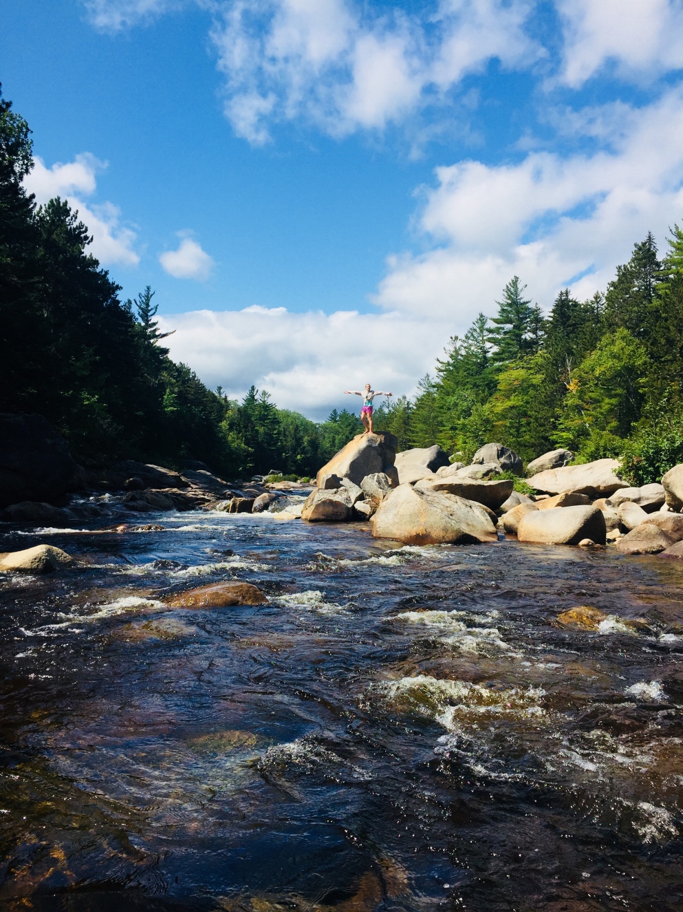
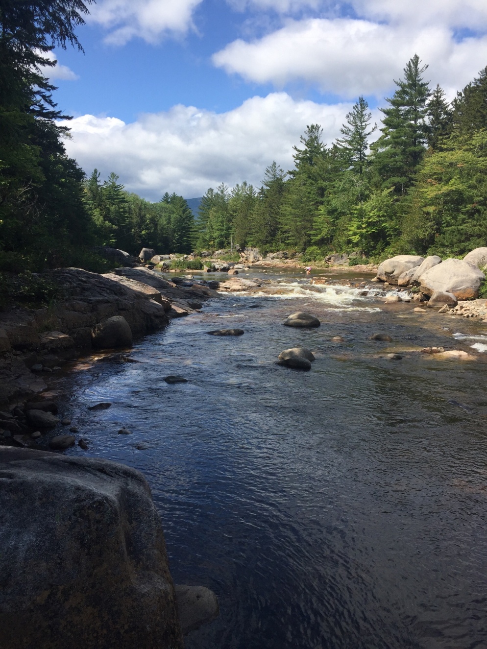
We could hear the rush of Wassataquoik Stream from the top of the trail, and emerged from the woodline to a beautiful scene of trees, boulders, flowers, and water, overlooked by the surrounding ridges and peaks of the Monument. This was a good place to spend an hour building up memories of summer. We sunned ourselves on boulders, filtered some clean, cold water, explored, rock-hopped, and ate a prepared meal warmed on a camp stove. Then we packed up everything (leave no trace), and headed back the same way we had arrived, talking about our summer, and future hikes. The first people we saw were at the trailhead, preparing to hike as we got back to our vehicle.
Katahdin Woods and Waters National Monument is a place we will continue to explore, a reclaimed wilderness with endless potential to surprise and excite. The Orin Falls Trail is an easy walk, but its intersection of mountains, forest, and water provides a satisfying taste of the wild beauty of Maine’s north woods.
(Disclaimer: This post contains affiliate links, and as an Amazon Associate Hiking in Maine blog earns from qualifying purchases.)