
The trail up Trout Brook Mountain (1,767 ft), 3.3 miles, about 1 hr 45 mins, begins from a small day use parking lot at the Trout Brook Farm Campground at Baxter State Park. Like Horse Mountain, the best maps and descriptions I found were in the AMC Maine Mountain Guide and Falcon Guides’ Hiking Maine’s Baxter State Park. This hike also gets its own treatment in Maine Hikes Off the Beaten Path. For those planning to explore more of Baxter State Park, Map Adventures’ Katahdin Baxter State Park Waterproof Trail Map is a great analog navigation tool in a place where digital devices don’t belong. Baxter’s great official website also has downloadable/printable trail maps, and the Northeast (Trout Brook Farm/South Branch Pond) map covers this area.
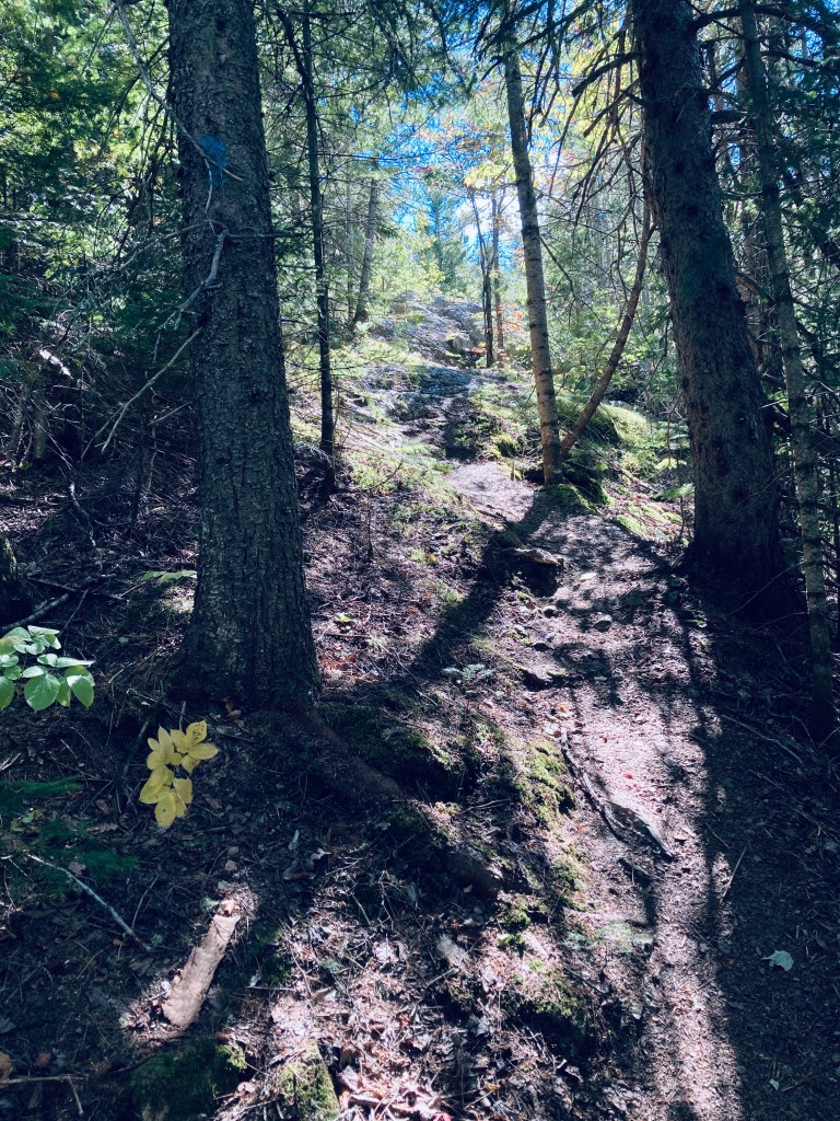
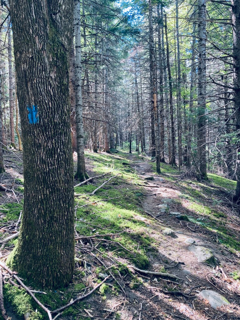
At the beginning of the trail up Trout Brook Mountain, the emerald colors of hobblebush contrast with the darker forest, particularly as it transitions to evergreen. The trail winds through this forest and climbs rocky ledges dressed in soft green moss, with excellent northward views at about 3/4 of a mile up toward Trout Brook, Grand Lake Matagamon and the north woods.

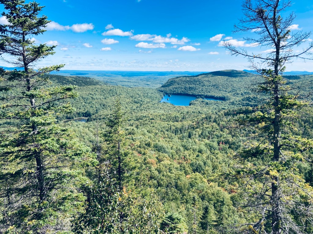
Consecutive switchbacks and steps are carved into the face of the rock, each rewarding the climber with a progressively more expansive look at the river valleys, mountains, ponds, and lakes of Baxter State Park. Here, I caught the call of a ruby-crowned kinglet. Past the Trout Brook summit (near the summit when I went in 2025, there was a large deposit of moose poop) there are a series of impromptu rocky amphitheaters with sweeping views from the ridge of High Pond, Long Pond, Round Pond, and Billfish Pond.
To complete the hike without retracing my steps, I took the Littlefield Pond Trail to the Five Ponds Loop Trail, an easy forest path through creekbeds, mushrooms, and marshy areas, back to the trailhead. As I approached the trailhead, I was able to gather plenty of dry deadfall for my night’s campfire at Baxter’s Trout Brook Farm campground.
(Disclaimer: This post contains affiliate links, and as an Amazon Associate Hiking in Maine blog earns from qualifying purchases.)

Nice photos! I have not yet visited that section of Baxter but, thanks to your review of the mountain trail, would like to do so on our next trip to Maine. Thanks!
LikeLike