The trail up Trout Brook Mountain (1,767 ft), 3.3 miles, about 1 hr 45 mins, begins from a small day use parking lot at the Trout Brook Farm Campground at Baxter State Park. Like Horse Mountain, the best maps and descriptions I found were in the AMC Maine Mountain Guide and Falcon Guides’ Hiking Maine’s Baxter State Park. This hike also gets its own treatment in Maine Hikes Off the Beaten Path. For those planning to explore more of Baxter State Park, Map Adventures’ Katahdin Baxter State Park Waterproof Trail Map is a great analog navigation tool in a place where digital devices don’t belong. Baxter’s great official website also has downloadable/printable trail maps, and the Northeast (Trout Brook Farm/South Branch Pond) map covers this area.
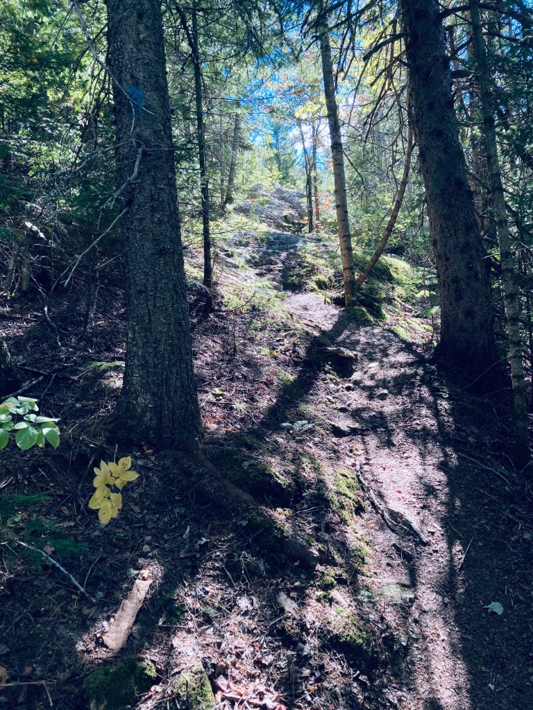
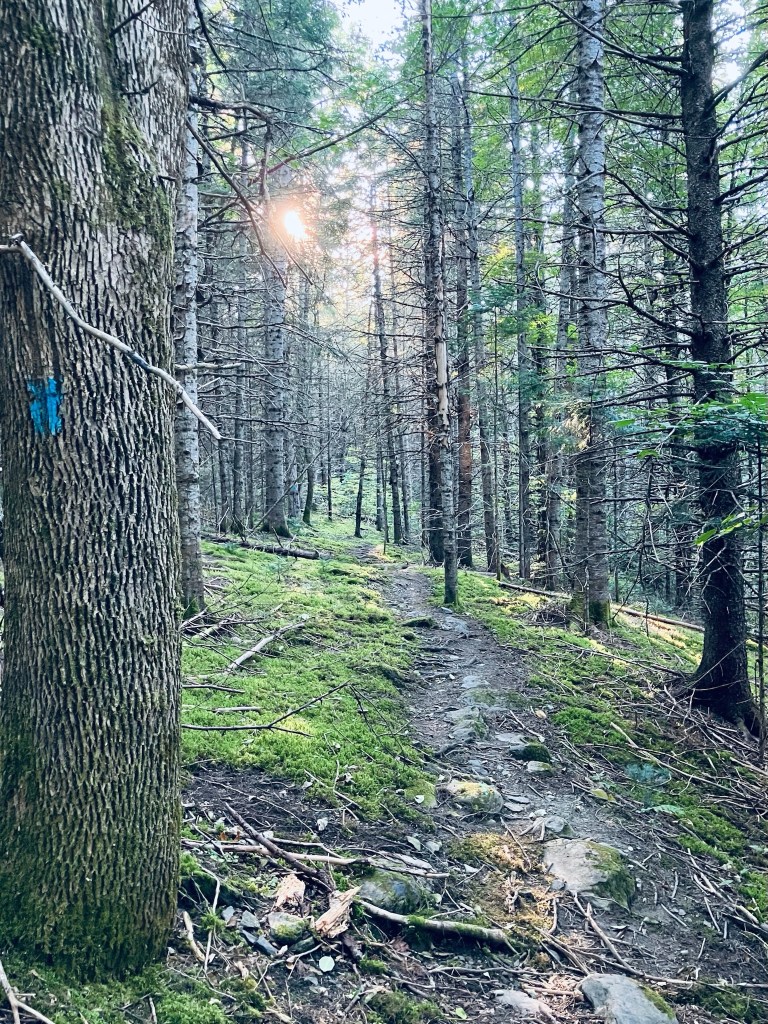
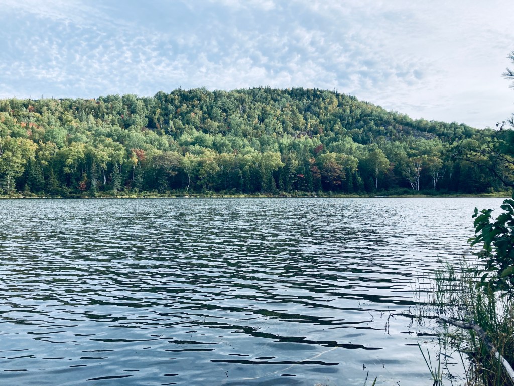
At the beginning of the trail up Trout Brook Mountain, the emerald colors of hobblebush contrast with the darker forest, particularly as it transitions to evergreen. The trail winds through this forest and climbs rocky ledges dressed in soft green moss, with excellent northward views at about 3/4 of a mile up toward Trout Brook, Grand Lake Matagamon and the north woods.