Knight’s Pond Preserve is a 334-acre preserve that straddles the town lines of Cumberland and North Yarmouth, with the 46-acre Knight’s Pond as the focal point. Parking is available in a small lot at 477 Greely Road Extension just short of Mill Brook, and on the street at the end of Greely Road Extension. The most current map is located on the Royal River Conservation Trust (RRCT) website, and includes more details and place names than the printed ones you will likely find in the kiosk at the parking lot. The property is managed by the Towns of Cumberland and North Yarmouth, the Chebeague & Cumberland Land Trust (CCLT), which has a printable scavenger hunt for kids, as well as the RRCT. The trails are well-marked and maintained, with trail map kiosks at most intersections.
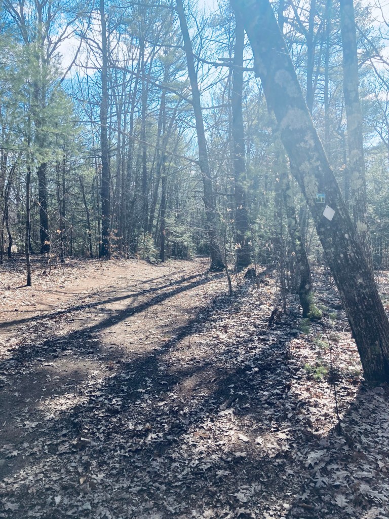
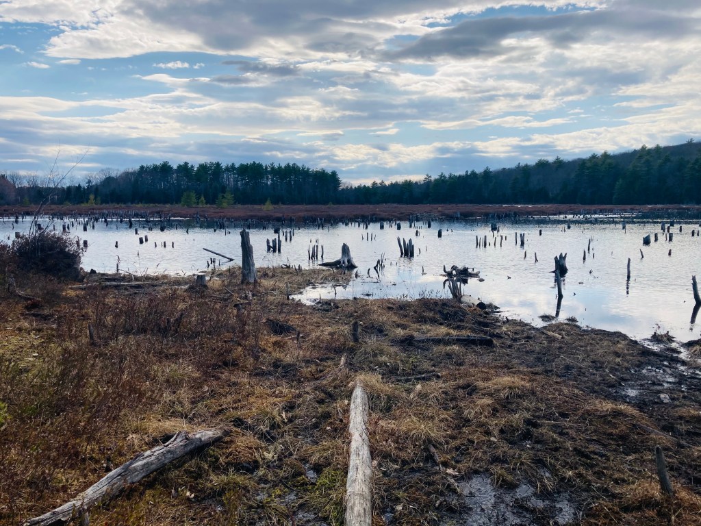
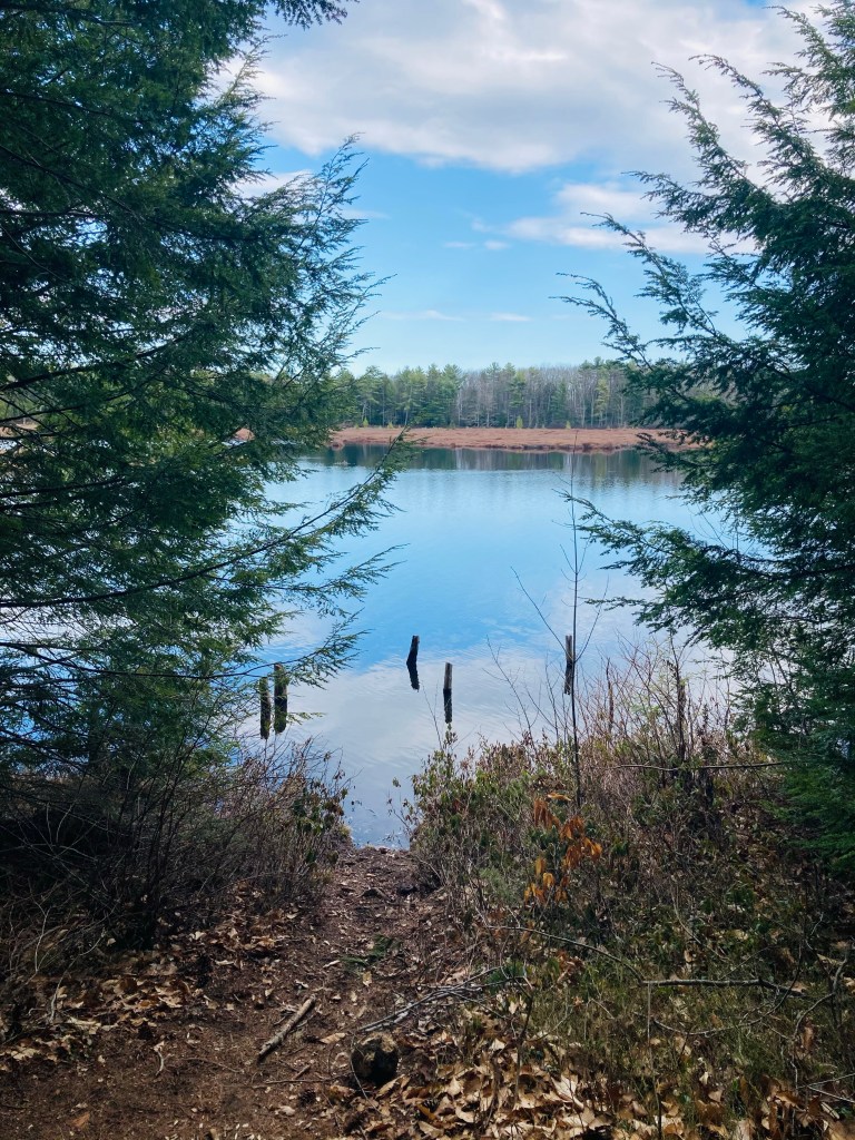
We chose a sunny early April day for a full circuit of the Preserve, which took an hour and a half to two hours, about 4.6 miles or so, going up to Bobcat “Mountain” then back around the pond to the western side of the Preserve. Dog walkers, hikers, kids, and mountain bikers were all out enjoying the sunny day. The pond was teeming with waterfowl, and we saw mallards, Canada geese, red-winged blackbirds, and smaller ducks too far away to identify. Beaver lodges are visible on the pond, as well, and the muddy shore is full of animal tracks. Looking at the photos taken by others, it appears Knight’s Pond is also a popular ice skating destination in the winter. Bobcat Mountain (350 feet) is at the northwest corner of the Preserve, and the gap in the trees created by power lines allows for views east to the smoke stacks of Cousins Island.
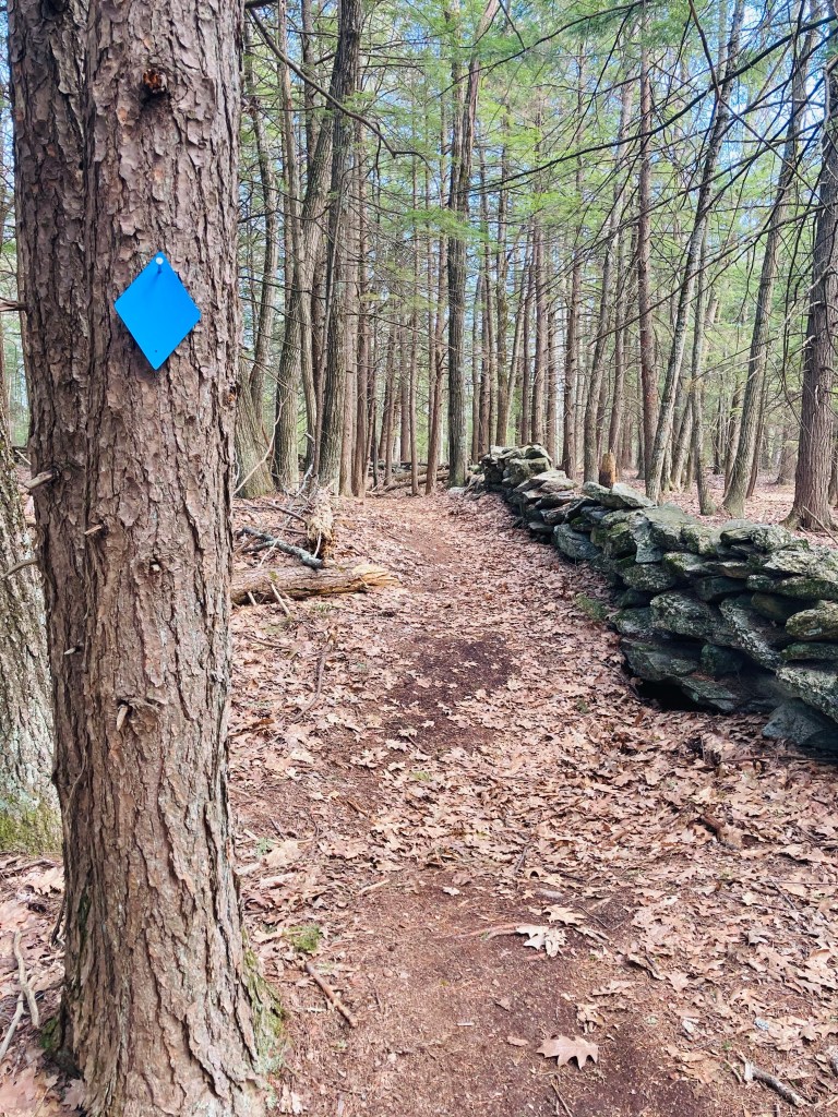
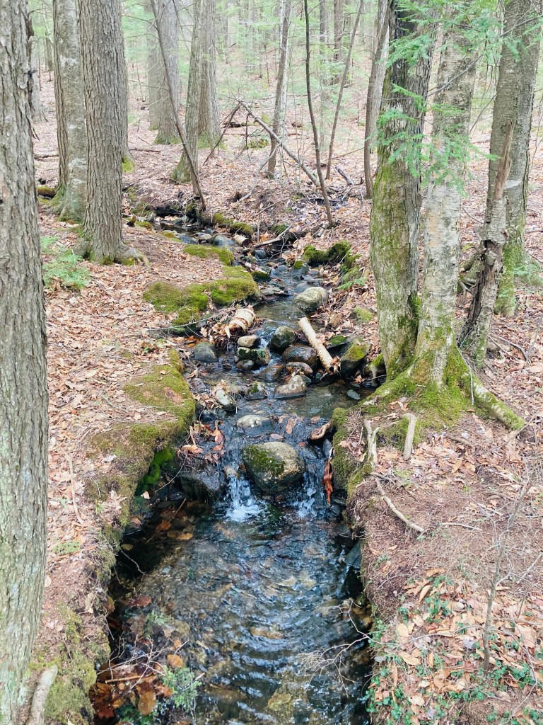
Moving back around the pond, picnic tables are located at the south side, next to a dam, and the stream flowing around the dam is full of small fish and tadpoles, much to the delight of some small children there. The White Trail continues around the edge of the pond, before turning inland. We continued west on the Blue Trail, passing the FAA Tower, a rotating dish visible from well across the pond (with a mechanical sound audible from the trails as you get closer), across the FAA access road to the more rolling terrain close to the North Yarmouth line.
At the bottom of a steep hill, bubbling Porcupine Stream flows under a footbridge to Porcupine Ponds, next to a Boy Scout cabin (more of a corrugated lean-to). We continued back up Bruce Hill (447 feet) to the Red Trail, which heads south in parallel to the White Trail, with views from Blueberry Hill (451 feet). This runs parallel to the Orange-blazed snowmobile trail before returning to the dead end of Greely Road Extension. A short walk up this quiet end of the road returned us to the parking lot.

I’ll be in Acadia for 2 weeks in August, around the Bernard area. Our second trip. Any hidden gems I should know about?
LikeLike
Congratulations. I’m betting Acadia will be very busy this year. For the core park hikes, views from Dorr Mountain (accessible from Sieur de Monts Spring) are great. For touristy times like these, my go-to guide is Aislinn Sarnacki’s Maine Hikes Off the Beaten Path. The two she recommends in Acadia are Jordan Cliffs (https://youtu.be/1pefz5aO-uc) and Buck Cove Mountain (more of a hill – https://bangordailynews.com/2016/11/08/act-out/1-minute-hike-buck-cove-mountain-in-acadia-national-park/). I would go with a backup plan in mind, and enjoy the uncertainty of exploration.
LikeLiked by 1 person
Thank you so much!
LikeLike