Heald and Bradley Ponds Reserve (Lovell, ME)

The Heald and Bradley Ponds Reserve consists of over 800 acres in Lovell, Maine, preserved and maintained for public use by the Greater Lovell Land Trust (GLLT) –  see GLLT map here.  A detailed description of trails is also available in the AMC Maine Mountain Guide.  While snowmobiles are allowed in winter on marked trails, I didn’t see any on the sunny February Sunday I visited.  I followed an easy to moderate (double, triple?) lollipop loop for about 4.6 miles (appx 2 hours, 886 feet of elevation gain), summiting Amos Mountain (955 ft) and Whiting Hill (801 ft) via the Blue, Orange, Yellow and Red trails.

Icy mill dam outlet of Heald Pond, Lovell, ME

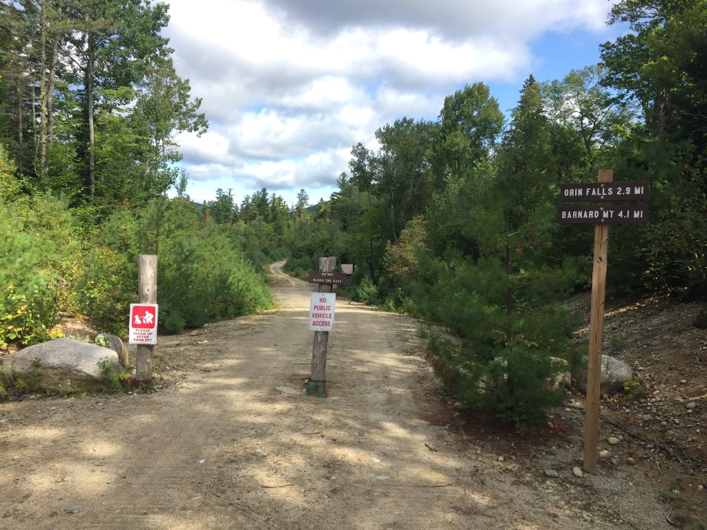
From the (well-plowed) parking lot on Slab City Road, it is a short downhill walk to the Blue Trail, past the southern outlet of Heald Pond.  Informational kiosks are at the parking area and at the beginning of the Blue Trail, additionally, small placards at trail intersections, each with a laminated trail map, make navigation self-correcting (“You Are Here” is difficult to screw up).

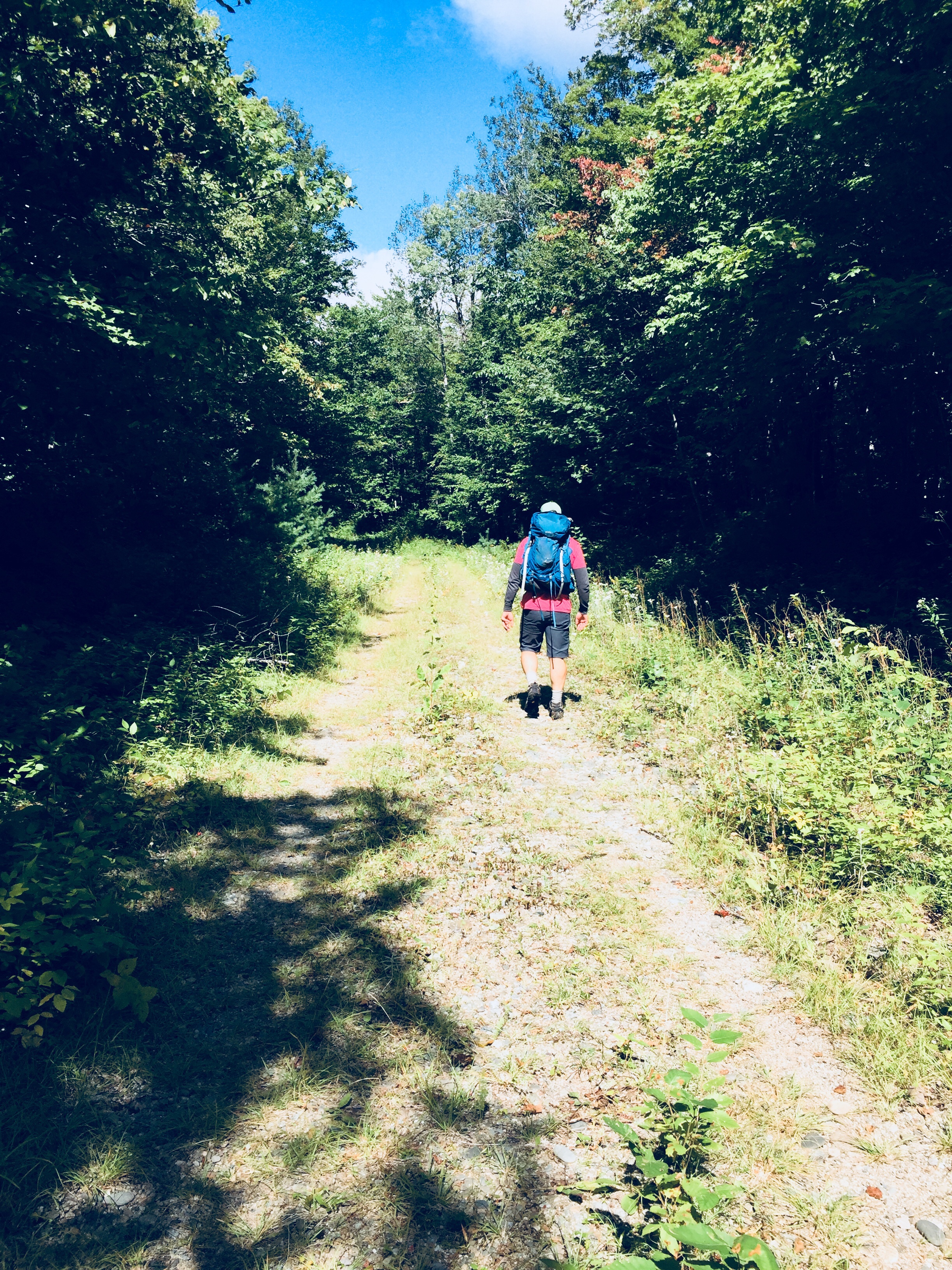
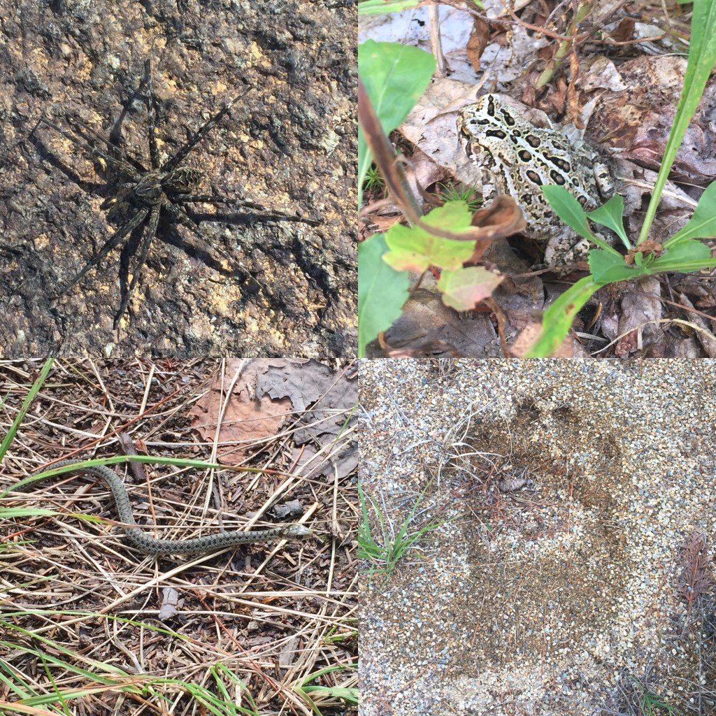
I wore snowshoes the entire route, and once off the snowmobile trail, was breaking trail through the deep, crusty snow.  While the snowshoes made for enhanced mobility, the rasp and stomp of my steps eliminated my chances of seeing much wildlife.  I was lucky enough to see a large pileated woodpecker, and the signs in the snow of others – the soft tread of foxes, the larger, circling tread of coyotes, the bouncing tread of deer, and the deeper, larger crescents left by moose.

Mt Washington wreathed in clouds from Amos Mountain viewpoint, Lovell, ME

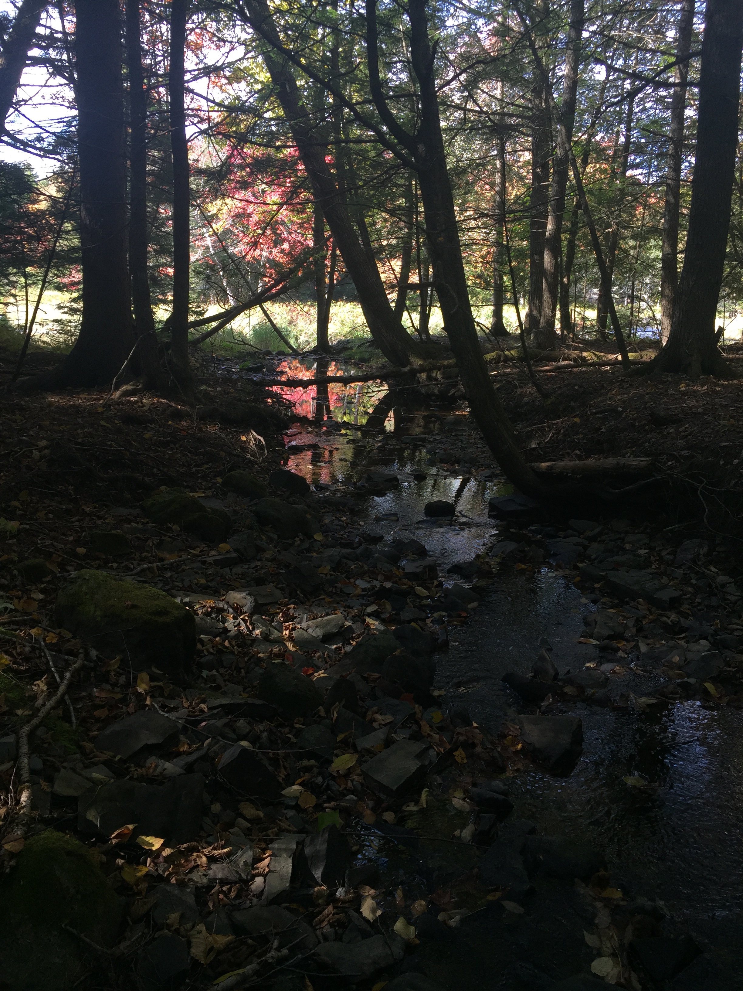
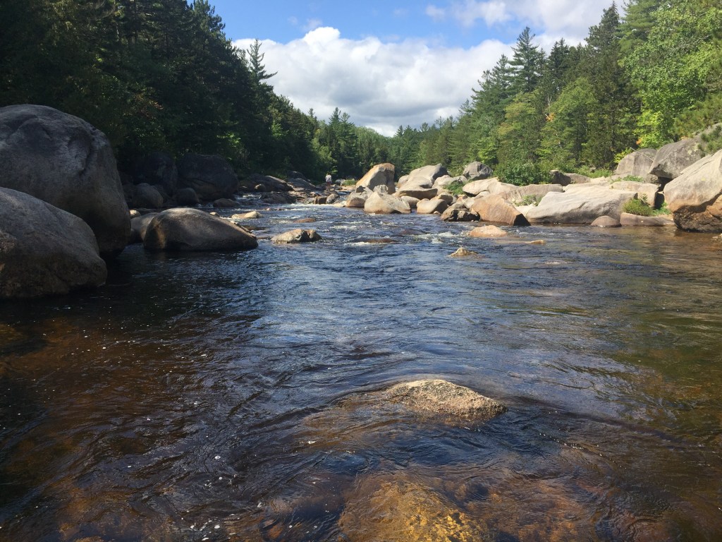
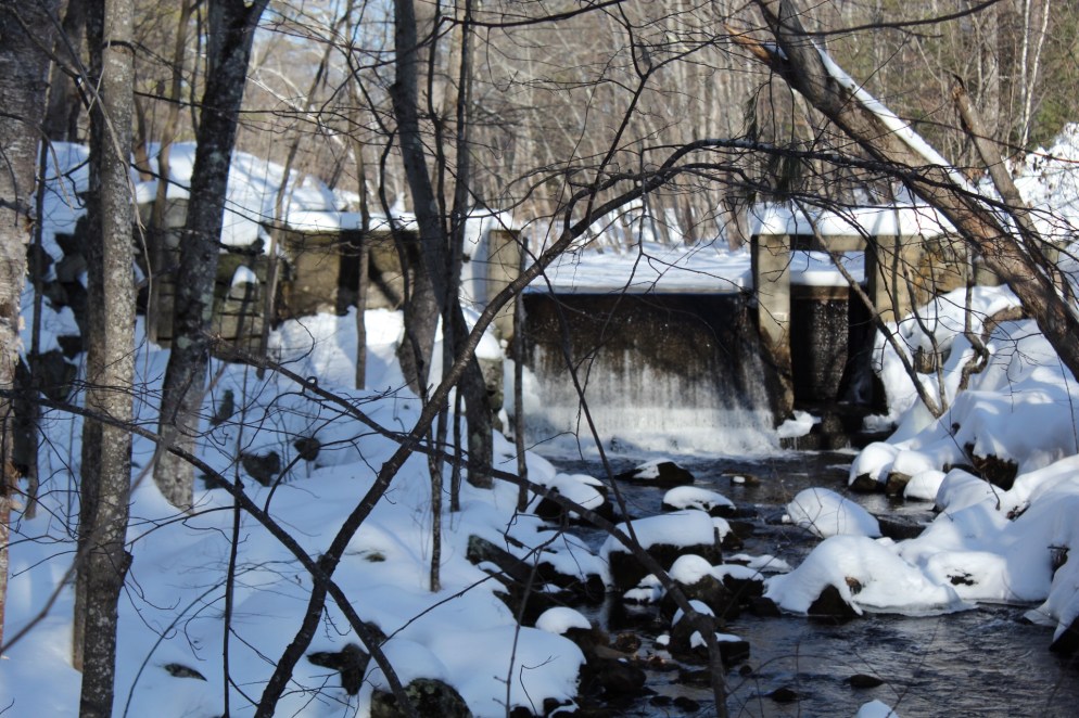
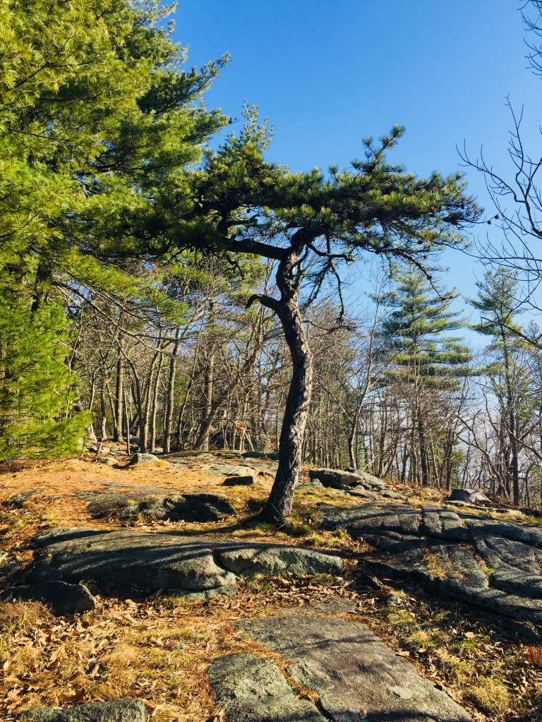
I bypassed Whiting Hill on the way out, sticking to the west shore of Heald Pond on the Red Dot Trail, and clambering down the Otter Rocks Spur briefly to look at the frozen lake, and the sole visible ice fishing shack.  As I was solo, wearing snowshoes, and shoreline ice is often the most treacherous, I didn’t venture out on the frozen pond.  Continuing gradually uphill, I reached the intersection with the Chestnut Trail (blue blazes), and turned left, towards the Heritage Loop Trail (orange blazes), and a broad circle of the summit of Amos Mountain.

Summit cairns and bench, Amos Mountain, Lovell, ME

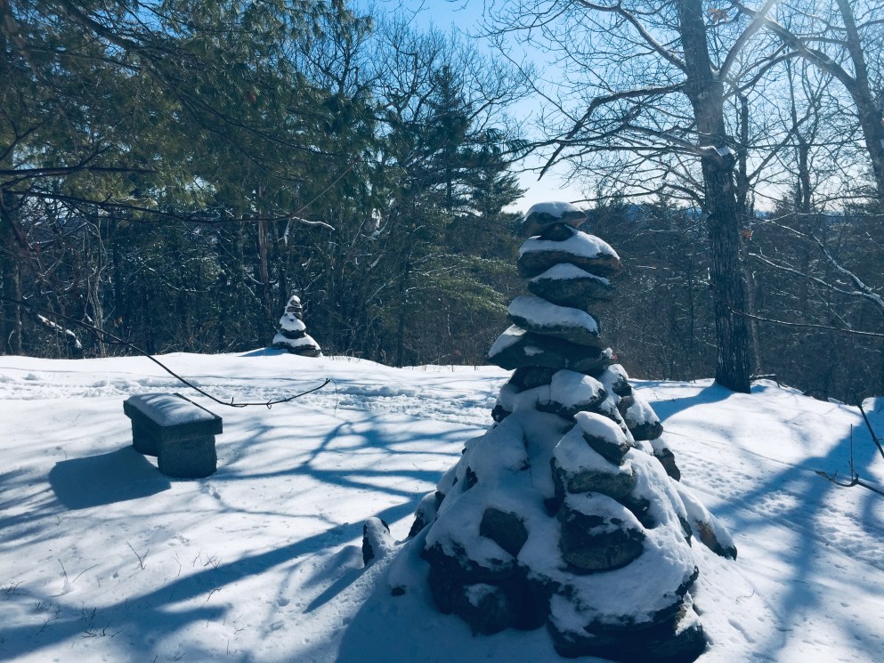
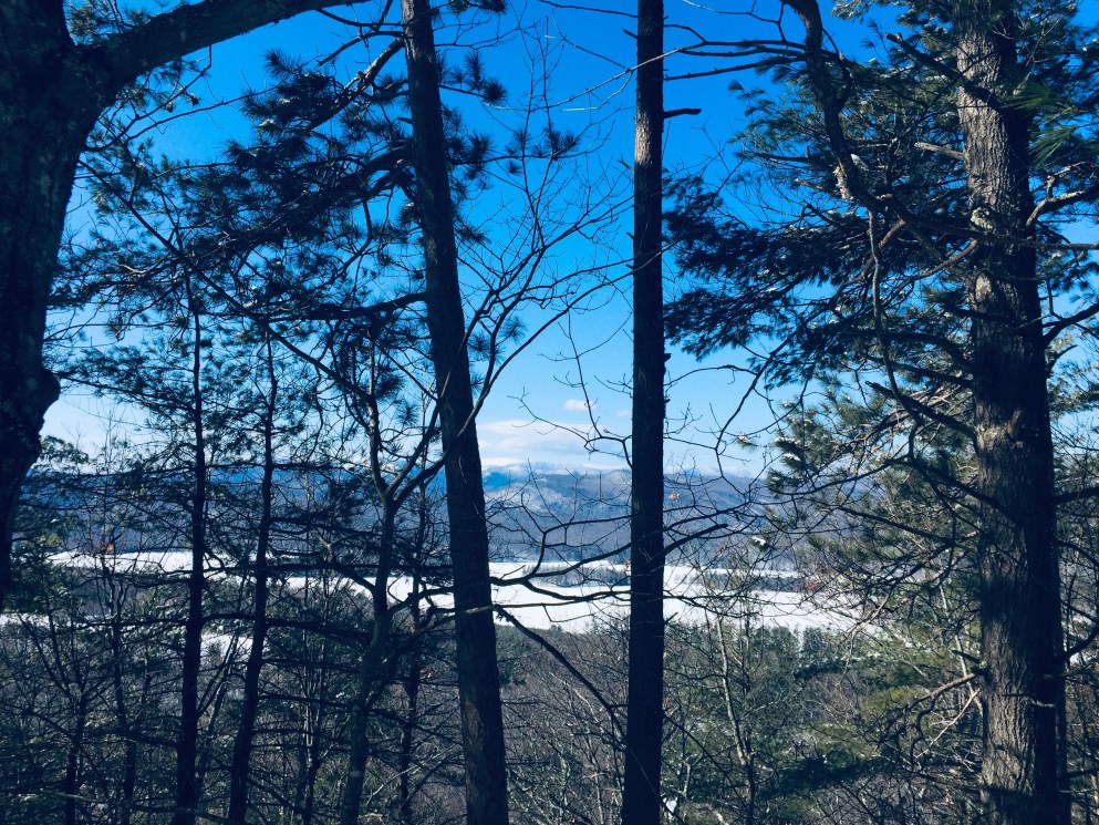
To the west of the summit is a viewpoint, just short of the Rogers Family Trail (blue blazes), with views of the Whites, with Mt. Washington as a centerpiece.  The wooded summit of Amos Mountain contains rock cairns and a bench, with views to the southwest.

Kezar Lake and the Whites from Whiting Hill summit, Lovell, ME

I descended Amos Mountain to the Hemlock Loop Trail, and a small picnic area, then headed towards Whiting Hill and its loop back to the start of the trail and the parking area.  Whiting Hall has a more open summit, with views to the West of Kezar Lake and the White Mountains beyond, and an easy downhill walk ended at Slab City Road.

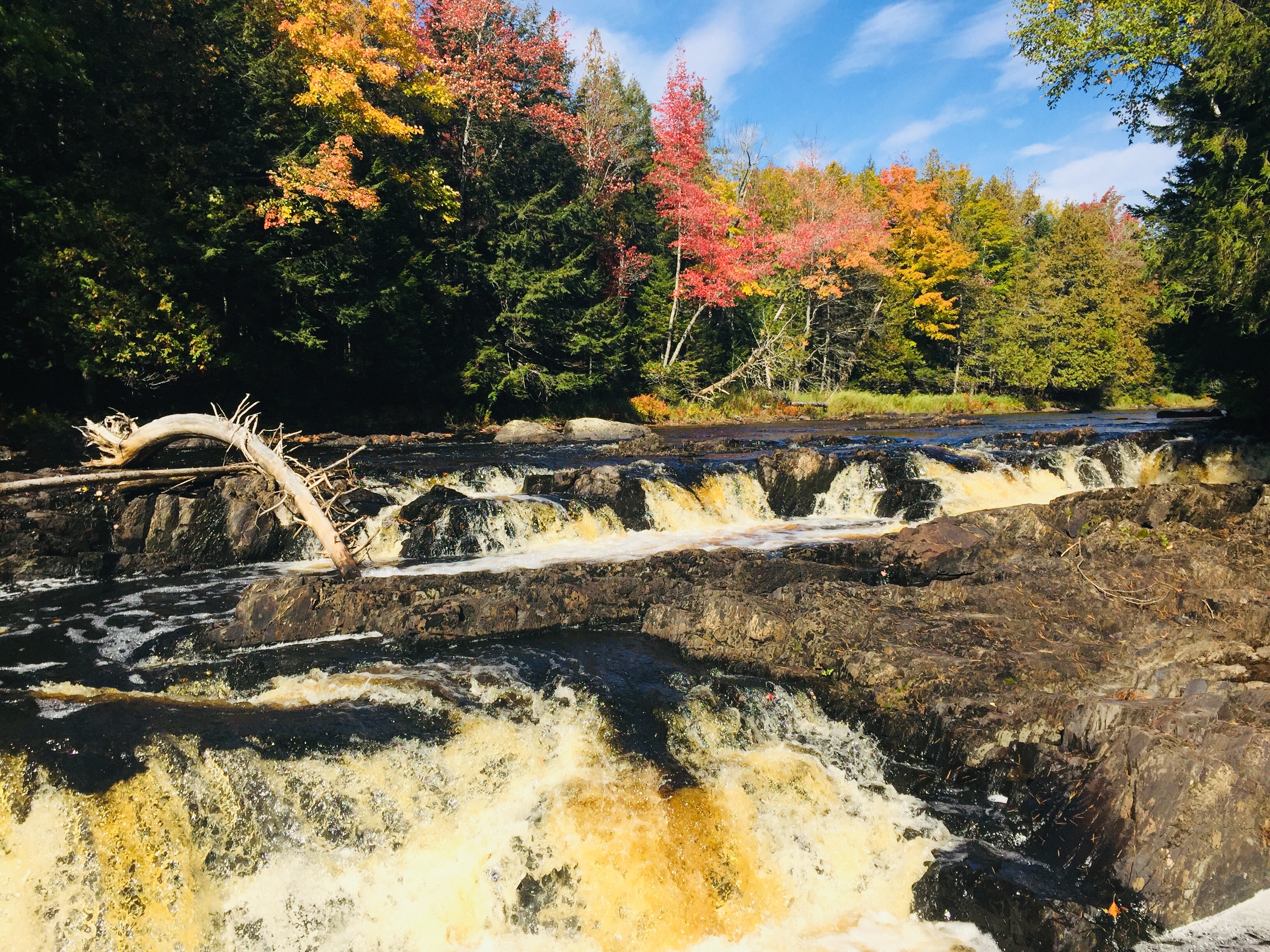
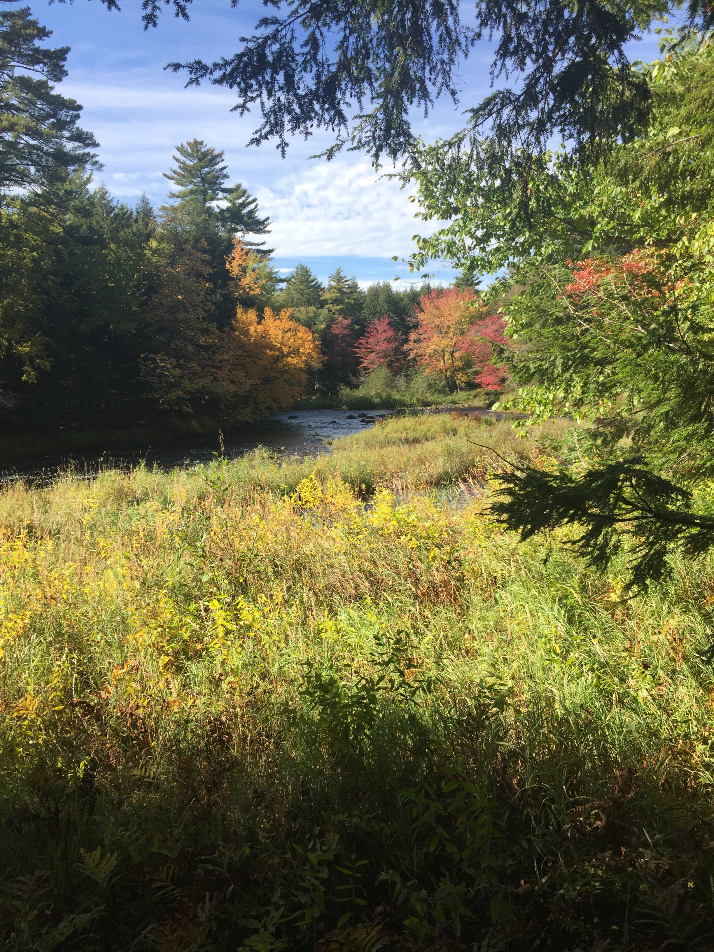
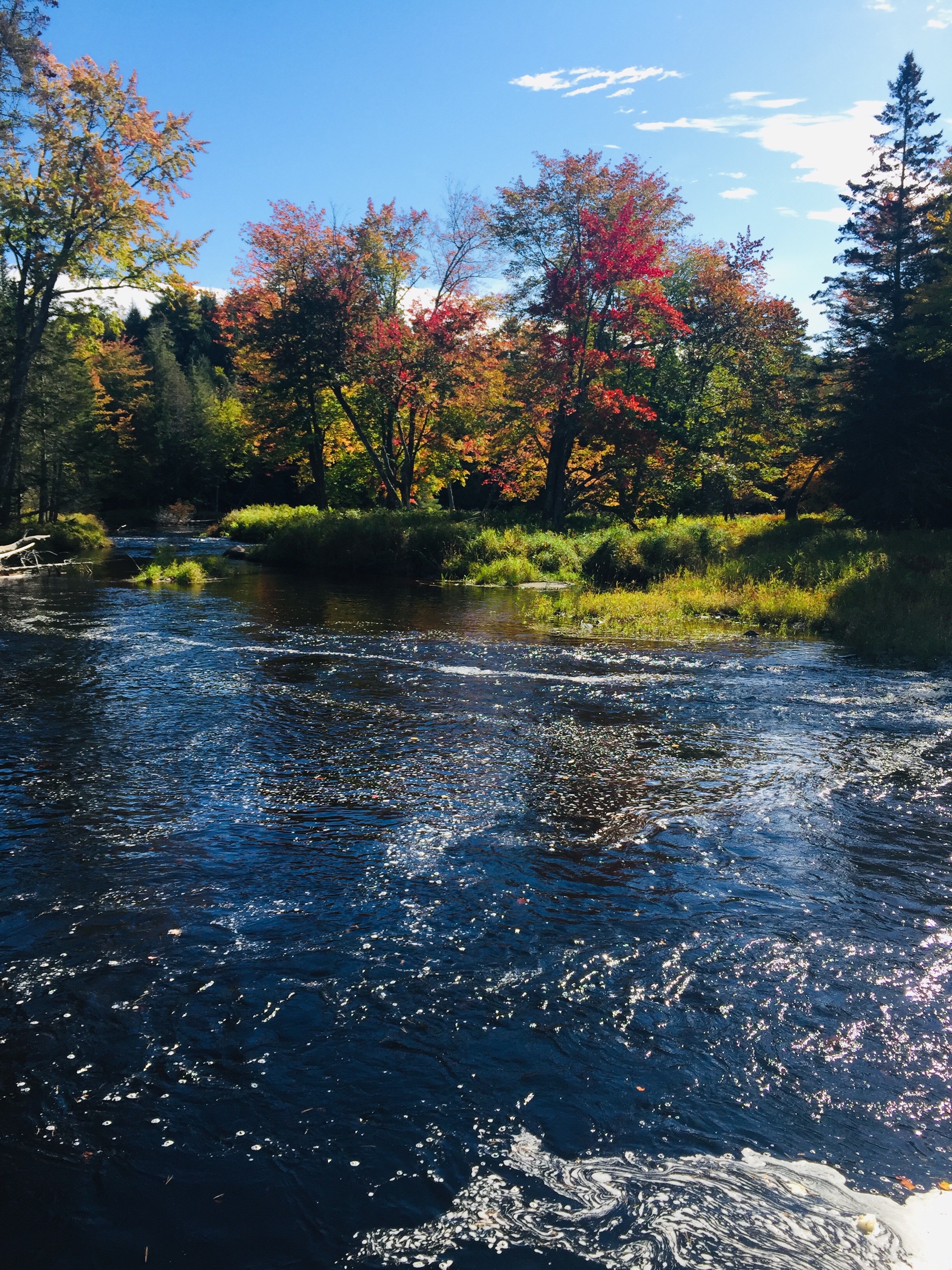
This would also be a beautiful fall hike, but I enjoyed having the place mostly to myself in the snow.  Parking areas on Route 5 and Heald Pond Road can also be used to shorten the hike for children or the less mobile – see the GLLT map for locations.  This Reserve is not far from Sabattus Mountain, and the post-hike stops available in Lovell are the same – the Center Lovell Market, for picnic supplies and a restaurant, and (after checking seasonal hours) Ebenezer’s Pub for food and Belgian beer.

5 Best Hiking and Outdoor Podcast Episodes of January 2020

Back in 2018, we ranked our top ten hiking and outdoors podcasts of 2018.  In 2019, we changed the format, listing our five favorite hiking and outdoors individual podcast episodes of 2019.  We consume a lot of podcasts, and those focused on being outdoors seem to have proliferated exponentially since we started listening.  That’s why, in 2020, we are trying something new.  This year, we will attempt to pick out the five best hiking and outdoors podcast episodes each month (or at least our favorites).

January is a month when we reflect upon the past year, and look forward to the new one.  It is a time tailor-made for introspection, and we listened to a variety of great podcasts focused on new beginnings, winter reflections, and renewal through the outdoors.  Below are the five best hiking and outdoors podcast episodes we listened to in January 2020, with a brief description of each podcast.

A warning – playing podcasts or music on external speakers while hiking is basically a capital offense.  Playing podcasts or music through headphones/earbuds while hiking is somewhere in the spectrum of inadvisable to mortally dangerous.  Just from a common sense standpoint, why would you want to have your hearing and attention somewhere else if you want to maximize the benefits of being immersed in the outdoors (or, more basically, fail to hear the bear you just startled)?  All that being said, hike your own hike.

Winter sunrise on Hawk Mountain, Waterford, ME

Dirtbag Diaries1. Mr. Hodges (January 24, 2020) from The Dirtbag Diaries

Can a schoolteacher have a generational impact?  Fitz Cahall and Cordelia Zars start by reminiscing about their favorite teachers, and memories of being trapped in school, when so much occurs outside the classroom.  Thus begins a fantastic oral history, recounting an epic summer break bike trip from the Alaska line down to southern California led by a unique teacher with 22 students in 1975.  The account, told by the nostalgic participants (including the surprisingly lively Mr. Hodges), is full of laughs, lessons, and misadventures, and reveals the lasting impact one unconventional role model can have for the rest of students’ lives (37 minutes).

Apple Podcast link: Mr. Hodges


Scotland Outdoors2. Nature is Good For You (January 4, 2020) by Scotland Outdoors

This podcast by BBC Radio, hosted by Mark Stephen and Euan McIlwraith, was new to us, and we were hooked from the very beginning.  From a roaring fire beside a Scottish river, Stephen and McIlwraith (“portly woodland elf”) oversee a variety of discussions and topics, focused on appreciating nature in the New Year, getting outside and active after “two weeks of waddlesome sloth.”  They introduce segments from contributors about medicinal and edible plants, planting and understanding trees, nature as a tool for PTSD, music inspired by the outdoors, and unlikely explorations.  The sounds of the crackling fire and the rolling burr of their voices create an intimate environment for storytelling (1 hr, 25 min).

Apple Podcast link: Nature is Good For You


G.O.

3. G.O. 092 – Roundtable: Embrace Your Discomfort Zone (January 1, 2020) from G.O. Get Outside

Get Outside’s Jason Milligan hosts a wide-ranging roundtable discussion by team Chick-a-Boom – Cyndi Wyatt, Marilee Valkass, and Saveria Tilden to discuss fears and misconceptions about the outdoors, and the benefits of working through these issues through education and perseverance.  This is a compelling and empowering examination of escaping the stresses and limitations of society through building a relationship with nature.  Throughout the podcast, the group provides tools and advice for all levels of outdoors exploration by using personal examples.  My favorite portion was a light-hearted discussion of risk management around dangerous animals, with the conclusion, “animals don’t have hospitals,” explaining the intrinsic decision-making conducted by predators (i.e. – it’s usually not worth attacking a human), and the importance of education.  The roundtable’s advice and common sense conclusions are the perfect way to begin the year with inspiration  (1 hr, 6 min).

Apple Podcast link: G.O. 092 – Roundtable: Embrace Your Discomfort Zone


Off Track - ABC Radio National

4. The Burning Bush is Talking (January 25, 2020) from Off Track

Dr. Ann Jones presents a timely story inspired by a social media post by Adrian Murgo, who noticed that the leaves of the gum trees on his property turned red and fell to the ground prior to the incursion of Australian wildfires.  This podcast takes the observations of a layperson, and attempts to explain it through the expertise of Professor Peter Vesk, a University of Melbourne ecologist, Professor Adrian Franklin, a University of South Australia sociologist and Oliver Costello, of Firesticks Alliance, an indigenous corporation, punctuated by the sounds of the Australian outback.  Do gum trees have awareness of fire, and are they built to burn?  How have indigenous peoples lived with gum trees, and acted as stewards of these “ancestor trees?”  Dr. Jones avoids easy conclusions or soundbites, and tells a powerful and insightful story about the Australian landscape (25 minutes).

Apple Podcast link: The burning bush is talking


Foot Stuff

5. FSP 091 – Where You’ll Find Me (January 29, 2020) from Foot Stuff Podcast

We heard about this podcast directly from the presenters, and were instantly hooked.  Matt Baer, Tyler Socash, Wade Bastian, and Jeremy Utz host an “Outdoor Recreation Comedy” which irreverently meanders through outdoor topics, stories, interviews, headlines, and advice from the Adirondacks.  In January 2019 on this blog, we reviewed Where You’ll Find Me, a book by Ty Gagne about a deadly trip to the White Mountains.  So we were thrilled to find this shorter “Blue Blaze” episode (a nod to the Appalachian Trail’s side trails), in which the Foot Stuff crew reviews the book, providing insight and humor.  They discuss everything from the actual tactile feeling of the physical book itself to the historical context of the Whites, to the decisions made by Kate Matrosova in her ill-fated traverse.  The in-depth discussion is appropriately respectful of the mortal nature of this tale, but punctuated by the jokes and anecdotes that make this podcast great (47 minutes).

Apple Podcast link: FSP 091 – Where You’ll Find Me


Disagree?  Have suggestions?  Leave a comment or Contact us.


Mount Tom (Fryeburg, ME)

In January 2020, I hiked Mount Tom (1,073 ft) via the West Ridge Trail, an approximately 3.5 mile out-and-back from the parking lot for Mount Tom Preserve at Menotomy Road in Fryeburg, which took about an hour and fifteen minutes.  Like Hawk Mountain and Mount Tire’m, which I did earlier the same day, this is a short but rewarding Oxford Hills hike.  This can also be done as an approximately 4-mile loop hike by continuing after the summit to the Mount Tom Trail, then returning south on Menotomy Road, which is usually relatively quiet, to the start point.

Kiosk and start of West Ridge Trail from Nature Conservancy parking lot, Mount Tom Preserve, Fryeburg, Maine.

This parking lot, and the Preserve, which includes the summit, are maintained by The Nature Conservancy (TNC).  TNC’s excellent description of the Preserve follows:

Mt. Tom Preserve protects a silver and red maple floodplain along the Saco River, and includes the rocky summit of Mount Tom at 1,040 feet in elevation. The 995-acre preserve spans the Saco River and boasts over 3,500 feet of river frontage. Several day-use hiking trails provide recreational opportunities, as does as a 1.14 mile seasonal snowmobile trail that is part of a larger network maintained by the Interstate Sno-goers. Visitors can summit Mt. Tom, canoe along the Saco River, or just walk through the beautiful forests!

River terrace forests support clean water for resident native fish, invertebrates, and other animals that use river beaches. The floodplains provide excellent habitat for spotted salamanders and several species of turtles, with a lush understory of sensitive fern and royal fern. Two regionally rare birds–the golden eagle and peregrine falcon–have been regularly sighted near the rocky cliffs of Mt. Tom, during the breeding season. Two rare plants–the fern-leaved false foxglove and smooth sandwort–have also been found within the dry oak-hickory forest on the south facing slope of the mountain, and old eastern red cedars dot the hillside.

View south from West Ridge Trail, Mount Tom, Fryeburg, Maine.

The West Ridge Trail, marked by white blazes and small TNC emblems, rolls across that floodplain, crossing small brooks, passing ghostly birches and large rock formations, until becoming steep about a mile in.

West Ridge Trail, Mount Tom Preserve, Fryeburg, Maine.

The trail ascends the ridge, with frequent views through clearings in the trees, to meet the Mount Tom Trail, at which point, it turns right, and shortly thereafter, reaches the summit and its rocky ledges and views.

Mount Tom summit, Fryeburg, Maine.

The descent in winter was easy, with microspikes, and I saw several other groups, all with dogs, ascending the trail on my way back.  An added benefit in winter was the lack of bugs, which would be omnipresent in the late spring and early summer in the first portion of the trail.  This hike may be challenging for very young or out-of-condition hikers, but presents an easy to moderate walk in the woods, with views to the south of the Saco River Valley.

West Ridge Trail in winter, Mount Tom Preserve, Fryeburg, Maine.

Mount Tire’m (Waterford, ME)

Mount Tire’m (1,104 ft) is a short (1.3 miles, appx. 35 minutes) out-and-back hike via the Daniel Brown Trail, right in the village of Waterford.  I hiked it recently in the winter, but this is an all-season hike, presenting a brief, but moderately steep climb.  A story, too convenient to be anything but apocryphal, has the name coming from the Pequawket tribe near Fryeburg saying the climb would “tire um out.”

Daniel Brown Trail, Mount Tire'm, Waterford, Maine
Daniel Brown Trail, Mount Tire’m, Waterford, Maine

The trailhead is located just uphill from the Waterford Congregational Church on Plummer Hill Road, with parking on the shoulder.  While there wasn’t much snow, the grade of the climb and the ice had me pulling on micro-spikes fairly early.

Views from Mount Tire'm, Waterford, Maine, including Pleasant Mountain and Shawnee Peak.
Views from Mount Tire’m, Waterford, Maine, including Pleasant Mountain and Shawnee Peak.

The summit area includes some rock formations and a “cave,” a glacial erratic, which is popular with children, as well as summer blueberries.  The sparse winter vegetation and abundant sun allowed for more light through the trees, and views throughout of nearby Keoka Lake, to the east.

View of Keoka Lake through the trees, Daniel Brown Trail, Mount Tire'm, Waterford, Maine
View of Keoka Lake through the trees, Daniel Brown Trail, Mount Tire’m, Waterford, Maine

This well-packed and frequently used trail was relatively empty on this winter weekend morning, with only two other hikers, a fit older couple with a dog.  In this quiet, I could hear the wind rattling and rustling through the winter forest’s dried leaves, the distinctive squawking of crows and intermittent chickadee songs.

Daniel Brown Trail, Mount Tire'm, Waterford, Maine
Snowy Daniel Brown Trail, Mount Tire’m, Waterford, Maine

Hawk Mountain (Waterford, ME)

Hawk Mountain (1047 ft to 1070 ft, depending on who you trust) is a small mountain in Waterford, Maine, with sweeping views of the Lakes Region and Oxford Hills.  Maps and information are available at the Western Foothills Land Trust website.  Trails at the Hatch Preserve at Hawk Mountain are open year-round for hiking, cross-country skiing, and snowshoeing, and we hiked it on a cold late December day, and again recently on a sunny day in March.

View north at sunrise, ascending Hawk Mountain, Waterford, ME
View north at sunrise, looking back from the ascent of Hawk Mountain, Waterford, ME

The trails are not well-marked (the website delicately described the preserve as a little “wounded”), but I summited and enjoyed the views via an ungainly, but very easy, 1.9 mile loop using what I believed to be the Europe and Cyrus trails, taking about 45 minutes.  The fastest way to the top is an approximately 1.4 mile out and back.

Winter sunrise on Hawk Mountain, Waterford, ME

The parking area on Hawk Mountain Road is well-maintained, and a kiosk contains a small map, walking sticks to borrow, and reminders to carry out what you have carried in.  Past the main parking area/kiosk, there is a small parking area with a few spots next to an ATV trail intersection, with a town of Waterford parks sign.  Beware during spring mud season of the short drive on Hawk Mountain Road between the parking areas, which is extraordinarily muddy, and requires four-wheel drive.

Forest on Hawk Mountain, Waterford, ME

In January, there were sled tracks and footprints on the trails, but the paths were empty and climbed gradually up, opening out on views to the east.  In March, with the “social distancing” pushing people outside, the trails were more full.

Mount Washington and the Whites in March from Hawk Mountain

A short walk back west across the ridge leads to the scenic vista on town land overlooking the Oxford foothills, with views across to Pleasant Mountain.  I didn’t need snowshoes or trekking poles for this simple hike, but some micro-spikes would have been helpful for traction on the packed, icy descent (an alternative would have been a piece of cardboard and a crash helmet, to slide down).

Pleasant Mountain and the Oxford Hills from Hawk Mountain, Waterford, ME
Pleasant Mountain, Shawnee Peak, and the Oxford Hills from Hawk Mountain, Waterford, ME

This is not a very challenging hike, but might be just the size and grade for young children, making it a perfect all-season hike for families in the Lakes Region, with a great picnic spot on top, and big views.

5 Best Hiking and Outdoor Podcast Episodes of 2019

It is that time for end-of-year lists.  Last year, we listed our top ten hiking and outdoors podcasts for 2018.  For 2019, we changed the format, and drilled down further, zeroing in on our five favorite hiking and outdoors individual podcast episodes.  We focused on a few distinguishing factors. Was it interesting and inspiring? Was it fun, unique, new? Did it stimulate further discussion, reading, or research?

Based on those criteria, below are the five best hiking and outdoors podcast episodes we listened to in 2019, with a brief description of each podcast.

A warning – playing podcasts or music on external speakers while hiking is basically a capital offense.  Playing podcasts or music through headphones/earbuds while hiking is somewhere in the spectrum of inadvisable to mortally dangerous.  Just from a common sense standpoint, why would you want to have your hearing and attention somewhere else if you want to maximize the benefits of being immersed in the outdoors (or, more basically, fail to hear the bear you just startled)?  All that being said, hike your own hike.

Tree on Second Hill, Mount Agamenticus


Off Track - ABC Radio National

1. The Chase – Back From The Dead (February 9, 2019) from Off Track

“All this fuss about a little green bird.”  It’s a short mystery about a possibly extinct bird, but a story much more revealing about the humans surrounding it, all in a uniquely Australian way.  To be clear, this podcast was recommended by the consistently excellent Outside/In podcast from New Hampshire Public Radio, and we were hooked after hearing the story of the night parrot.

Audio quality is very important to host Ann Jones, whose whispered voice sets up the unique nature sounds of Australia’s bush.  The story of the night parrot occurs three to four days’ drive from the nearest town, a setup for the introduction of lively characters obsessed with a tiny, elusive nocturnal bird.  Jones presents the tale with a full 360 view of the conservation issues of the past, present, and future, and voices from indigenous Australians relaying both science and legend.

(Hint: if you are unable to find the episode on the podcast app you use, look for Outside/In Podcast episode “Hunting the Night Parrot” from March 14, 2019.)


10 Best Hiking and Outdoor Podcasts of 2018

2. Leave No Stone (February 14, 2019) from Outside/In

Host Taylor Quimby starts this episode with the story of a small memorial stone engraved with a name atop a New Hampshire mountain, and proceeds to a surprisingly polarizing discussion of what Leave No Trace actually means.  In the backdrop of intensifying recreational use of the outdoors, what mark does human use leave on the land?  And with a larger and more varied segment of society using the back country, is Leave No Trace open to interpretation?

Through interviews and social media, Quimby and the Outside/In crew conduct a whimsical exploration of the deployment of decorative stones and painted “kindness rocks,” cairns, blazes, graffiti, and even a plastic skeleton.  There are those who create and disperse these items, and those who remove them from the landscape, and no matter which side you fall on, this is an interesting discussion.


Backpacker_Radio_new_art3. Episode 37: Jenny & Scott Jurek on the Appalachian Trail Speed Record, Parenting, and What’s Next (May 10, 2019) from Backpacker Radio

This is the longest episode on our list by far, at 2 hours and 28 minutes, but the time moves quickly.  Ultrarunner Scott Jurek has been interviewed before, but this Backpacker Radio episode, hosted by Tom “Jabba” Gathman and Zach “Badger” Davis, is fascinating, with a softer, humanizing touch, starting with Scott’s wife Jenny Jurek and their children in-studio.  Scott talks about his journey in ultra-running, leading up to his record-breaking (at the time) Fastest Known Time (FKT) of the Appalachian Trail in 2015.

Maybe it’s the family atmosphere, maybe it’s the common ground built between a jet-lagged Jabba and Scott Jurek over the “burly” state of Pennsylvania, but this episode hits its stride about 15 minutes in, and becomes a captivating discussion of the outdoors, family, fame, love, friendship, and grueling feats of endurance.


10 Best Hiking and Outdoor Podcasts of 2018

4. Episode 117: Safer Alone in the Backcountry (June 19, 2019) from She Explores

Gale Straub’s series focuses on female exploration, and this episode provides perspective about the safety of hiking in relation to the daily life of some, and the freedom of the outdoors.  This is an interview of Sarah Grothjan, a survivor of stalking, alone in a new state, whose deeper excursions into the backcountry helped her through the ordeal.

Frustrated by the inefficacy of law enforcement, Grothjan relied upon hiking (and support from friends) to feel safe, to find community, to cope with a traumatizing time, and to reclaim independence.  The episode explores the differences between male and female perceptions of safety, the rise in acceptance of female solo hiking, and the skills and confidence built by the outdoors.


10 Best Hiking and Outdoor Podcasts of 2018

5. Episode 108: The Power of Choice with Edith Eger (May 20, 2019) from Wild Ideas Worth Living

Host Shelby Stanger enthusiastically interviews leaders who break the mold and live wild.  We have no idea what, if any, is Edith Eger’s backpack of choice, but at 91 years old, she is indisputedly, as Stanger says, one of the most “badass people” we’ve ever heard.  Eger grew up in Hungary, and was in training for the Hungarian Olympic Gymnastics team when, in May 1944, she was taken with her family to Auschwitz.  Eger survived, and eventually emigrated to the United States, where she earned her doctorate in psychology, using her training and experience to help survivors of trauma, and authoring the 2017 book “The Choice.”  Eger’s story, her advice, and her perspective are an enthralling journey of perseverance and grace, told in her own voice.


Disagree?  Have suggestions?  Leave a comment or Contact us.


Acadia National Park in 60 Seconds

We received this video submission from a reader through the Contact Us link, and were happy to repost, as Acadia National Park shared with friends to good music (with a nod to Friends of Acadia) checks a lot of boxes for us.  The producer was Patrick J. Lynch, and the music by Doctor Turtle, Often Outmumbled, Never Outpunned.  As snow falls here in Maine, nice to re-visit the possibilities of early summer.

Mariaville Falls Preserve (Mariaville, ME)

Mariaville Falls, Mariaville Falls Preserve, ME
Union River, Mariaville Falls Preserve, ME

Mariaville Falls Preserve in Mariaville, Maine, is a conservation area along the banks of the West Branch of the Union River in Hancock County, owned and managed by the Frenchman Bay Conservancy, which has a trail map on its website.  This woods and waters gem, the former site of a small village, lies off 181 between Amherst and Ellsworth (look for the wooden sign on the west side of 181).

Mariaville Falls Preserve, ME

We were fortunate enough to visit on a sunny day during the peak of autumn foliage.  The trails are short, and the Fisherman’s Trail (.85 mi) follows the river, with the New Trail (.48 mi) looping further east from the first parking area (look for the kiosk), and joining the Fisherman’s Trail near the falls.

Fall colors, Mariaville Falls Preserve, ME

Union River, Mariaville Falls Preserve, ME

We walked slowly, and made the trip out and back from the second (gravel pit) parking area along the Fisherman’s Trail in about 35 to 40 minutes.  The trail is steep in places, but this walk is short enough to be suitable for kids, and the views of the falls are excellent, particularly in foliage season.

Mariaville Falls Preserve, ME

Observation bench, Mariaville Falls Preserve, ME
Observation bench, Fisherman’s Trail, Mariaville Falls Preserve, ME

A bench sits high above the rapids, a contemplative spot to pause and enjoy the view.  Those feeling more adventurous can scramble down closer to observe the falls more closely.  Those in transit in the Downeast region, or anyone looking for a short hike in the area, will enjoy this small but beautiful place.

Union River, Mariaville Falls Preserve, ME

Hiking Maine’s Baxter State Park, by Greg Westrich

The digital age in hiking has brought us “apps,” which can be concealed in a phone, show us where we are, how far we have gone, and can describe and map hikes.  But these technological wonders have their limitations, particularly in a wild place like Baxter State Park, where cell service is available only intermittently (if at all), and only from the highest elevations.  There is also something incongruous about getting away and outdoors, only to stare at a tiny screen.  Enter Hiking Maine’s Baxter State Park by Greg Westrich (FalconGuides, 2017), an outstanding roadmap to Maine’s favorite wilderness playground, combining the analog permanence and durability of a book, and the accessible map and photo layout of an online guide.

Westrich’s book begins with an introduction and instructions on using the guide.  Following a “Before You Hit The Trail” summary of Baxter State Park’s history, geology, wildlife, seasons, and rules, Westrich describes thirty-seven unique day hikes, numbered roughly from north (Horse Mountain) to south (Roaring Brook Nature Trail) within the park, and three suggested backpacking trip itineraries, ranging from three to four days in duration.  Each hike begins with a short section called “The Run Down,” describing the essential characteristics of the hike at a glance, as well as its difficulty on a scale of Easy to Very Strenuous.  Physical directions and precise GPS location of the trailhead are included, as are individual trail maps and excellent photos.  Westrich describes points of interest, locations for views, and trail-specific features, like water sources, or places to rent canoes.

The genius of this guide is the layout.  Readers can flip through the guide, or use the numbered overview map in the beginning to find a hike based on its location in the park.  Hikes close in proximity in the park are correspondingly adjacent in the book, allowing the reader to string together their own hikes, like we did for Grassy Pond, Daicey Pond Loop, and Niagara Falls.  Another entry point is the “Trail Finder” towards the back of the book, breaking down the best hikes for swimming, views, waterfalls, blueberries, geology, families, wildlife, history, and canoeing.  These categories make for quick suggestions and ideas, and further broaden the appeal of this guidebook.

The subtitle of the book is “A Guide to the Park’s Greatest Hiking Adventures Including Mount Katahdin,” which cleverly (and rightfully) positions the park’s centerpiece as only one of the many places to explore.  Fear not, the legendary routes to Katahdin’s Baxter Peak via the Hunt Trail, Abol Trail, and The Knife Edge each receive their own detailed entries in this guide, which make the book worth owning all by themselves.  But it is impossible to peruse this book without feeling the urge to spend more time in Baxter State Park, seeking out the lesser-known hikes that Westrich so aptly describes.


Orin Falls Trail (Katahdin Woods and Waters)

Orin Falls in Katahdin Woods and Waters National Monument, Maine.

(Note: The Katahdin Loop Road opened for the 2020 season on Saturday, May 23. U.S. National Park Service advises to drive with caution and be alert for soft spots and rough road sections. Haskell and Big Spring Brook Huts are temporarily closed, and updates will be posted to the NPS website.)

Our trip around the Loop Road at the end of last summer to Katahdin Woods and Waters National Monument left us wanting more, and after a rainy but pleasant day at Baxter State Park on Saturday, we set out the next morning for the Monument to hike to Orin Falls.  This 6-mile hike, out and back on old logging roads along Wassataquoik Stream, is a perfect fall walk.  The AMC Maine Mountain Guide has a description of the hike, and Maine Hikes Off the Beaten Path by Aislinn Sarnacki has a longer treatment, as well as a helpful map.  We used the Map Adventures Katahdin Woods & Waters Waterproof Trail Map to navigate this hike and the rest of the Monument, and the trip to the falls took a little over an hour each way.  With the sun shining, biting insects largely gone or simply sluggish, late summer flowers and berries still blooming, and the calls of birds echoing throughout the woods, we took our time getting to the end of the trail, pausing frequently to examine animal tracks and sign, and to simply listen.

img_7060
Orin Falls Trailhead, Katahdin Woods and Waters National Monument, Maine

The trailhead and parking area are located at the end (for motorized vehicles) of Orin Falls Road, a spur off the Katahdin Loop Road in Katahdin Woods and Waters National Monument.  Like last year, we got to the Monument from Millinocket using the Stacyville Road.  In large stretches, particularly closer to the Monument, this is a road in name only, as its surface ranges from the consistency of an ATV trail to that of a World War I battlefield.  We cannot discourage highly enough the use of this road unless you have four-wheel drive, high clearance, and a general disdain for your car’s exterior.  The traditional route into the Monument on Swift Brook Road from Route 11 is far safer, and was the route we took departing at the end of the day.  However you get there, to reach the trailhead from Swift Brook Road, turn right (north) on the Katahdin Loop Road (sign for Barnard Mountain), then follow the sign for Orin Falls.

Orin Falls Trail, Katahdin Woods and Waters National Monument, Maine

At the bottom of the hill below the trailhead is a brand new handicap-accessible toilet.  We quickly saw recent moose tracks and droppings along the trail, but had no luck seeing moose throughout our hike.  The Esker Trail comes in from the right, and then the International Appalachian Trail (IAT) veers off to the right towards a ford across Wassataquoik Stream (and a trail up Deasey Mountain).  We continued straight, and reached a relatively new foot/ATV bridge across Katahdin Brook, startling a large heron that took off upstream in the direction of Katahdin Lake.  This crossing directly precedes the Wassataquoik Shelter, a newer lean-to.  Like everything else on this hike, we had the place to ourselves.

Wildlife on Orin Falls Trail, Katahdin Woods and Waters

Although looking at the map may make it seem like the trail is right on the banks, you don’t see Wassataquoik Stream much along the hike until the end, but the portion between the ford and the shelter rides an elevated overlook, and you can look down to the slow, wide Stream through the trees.  There is, however, plenty to observe.  In most places, the trail was wide enough for us to walk side by side, in the wheel ruts of the former road, making for a companionable stroll.

In addition to the heron and the moose tracks, we saw deer tracks, grouse, hawks, kingfishers, jays, mice, caterpillars, many frogs and toads, garter snakes sunning themselves on the trail, massive, skittering fishing spiders, and the large track of a bear.  Raspberries, blackberries, and blueberries were out in force, but were hit-or-miss, seeming to mostly have the bitter taste associated with the end of the season, and a lack of recent rain.

img_7084
Orin Falls, Katahdin Woods and Waters

The mosquitoes and biting flies were minimal, but one could see how they could be pervasive during the summer months in the low-lying areas around water, so late summer or fall is a great time for this hike.  Shortly after passing the lean-to, we left the IAT, which veers off to the left (west) towards Barnard Mountain, and Katahdin Loop Road.  We continued straight, past the marker for the Monument line, and finally reached the trail downhill towards Orin Falls.

Orin Falls, Katahdin Woods and Waters

We could hear the rush of Wassataquoik Stream from the top of the trail, and emerged from the woodline to a beautiful scene of trees, boulders, flowers, and water, overlooked by the surrounding ridges and peaks of the Monument.  This was a good place to spend an hour building up memories of summer.  We sunned ourselves on boulders, filtered some clean, cold water, explored, rock-hopped, and ate a prepared meal warmed on a camp stove.  Then we packed up everything (leave no trace), and headed back the same way we had arrived, talking about our summer, and future hikes.  The first people we saw were at the trailhead, preparing to hike as we got back to our vehicle.

Katahdin Woods and Waters National Monument is a place we will continue to explore, a reclaimed wilderness with endless potential to surprise and excite.  The Orin Falls Trail is an easy walk, but its intersection of mountains, forest, and water provides a satisfying taste of the wild beauty of Maine’s north woods.

(Disclaimer: This post contains affiliate links, and as an Amazon Associate Hiking in Maine blog earns from qualifying purchases.)