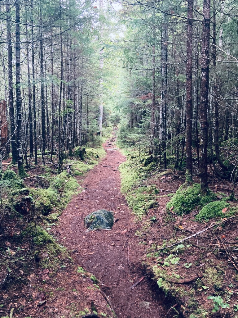
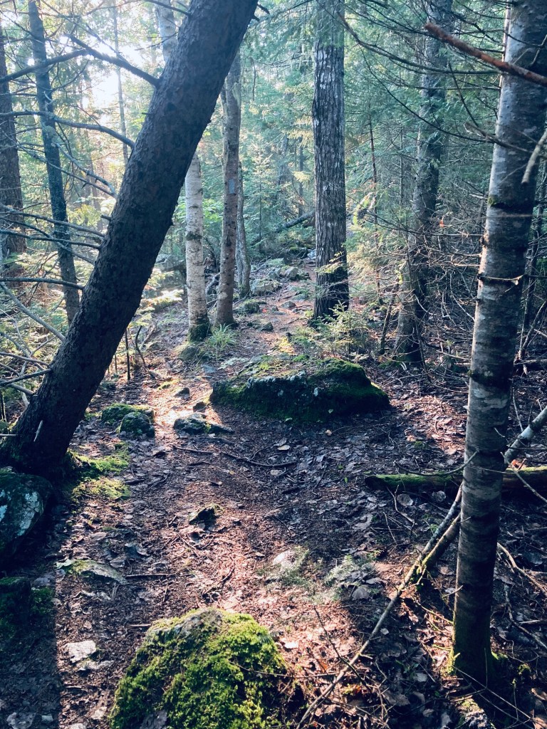
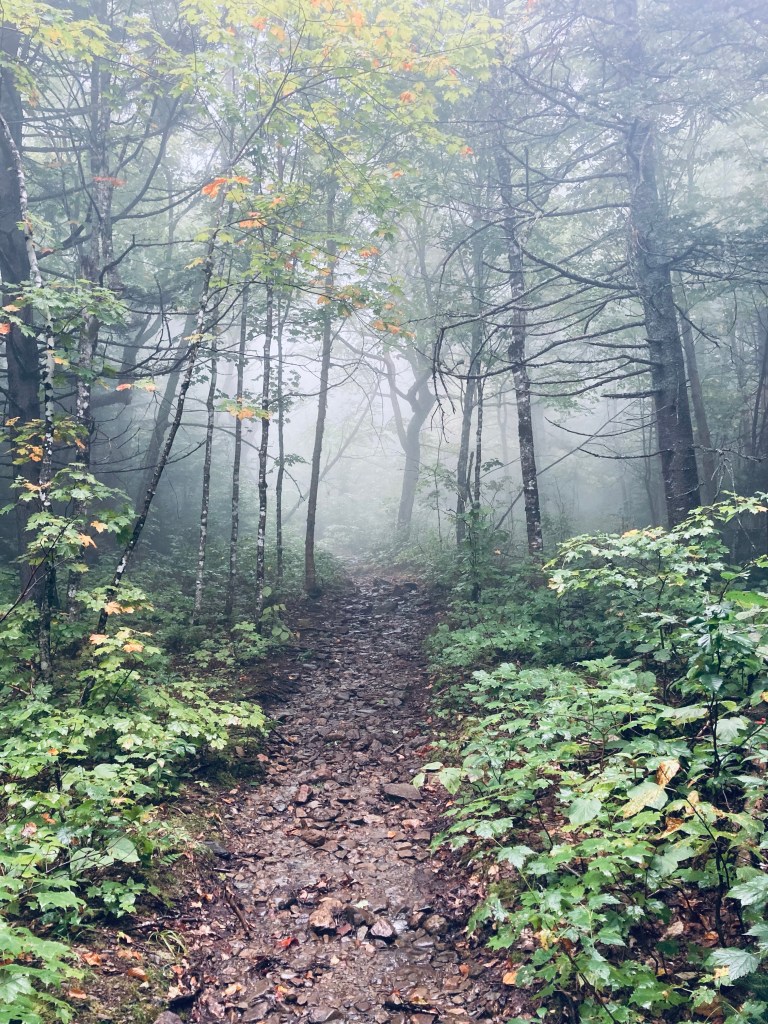
Slaughter Pond is a sufficiently remote one-way hike that when I mentioned to a Baxter State Park ranger that I was thinking of hiking there, he looked at me curiously, and then asked if I was going to get some fishing in, as that seemed to be the primary reason people make the trek. The pond itself lies slightly outside the borders of Baxter State Park, and is managed by The Nature Conservancy as part of its Debsconeag Lakes Wilderness Area (see map). I hiked there and back, a trip of just over 6 miles, that took me about two and a quarter hours on a rainy mid-September day. I used the map and trail description in Hiking Maine’s Baxter State Park, and navigated using AllTrails and the Map Adventures’ Katahdin Baxter State Park Waterproof Trail Map. The longer, more scenic route starts from the Doubletop Mountain Trail at the Kidney Pond Campground day-use parking area. A shorter route that eliminates Draper and Deer Ponds begins at a trailhead on Kidney Pond Road just west of the bridge over Nesowadnehunk Stream. The Doubletop Mountain Trail route begins as a pleasant, pine-smelling tunnel of thick evergreens, giving way after about a quarter-mile to a more broadly spaced forest.
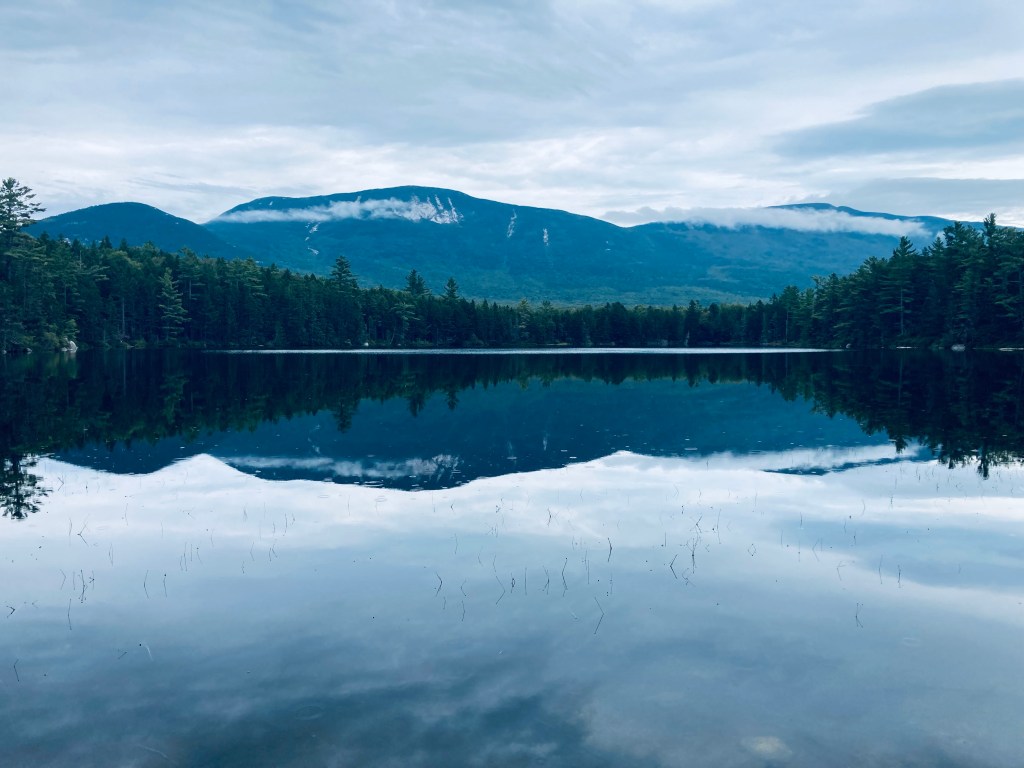
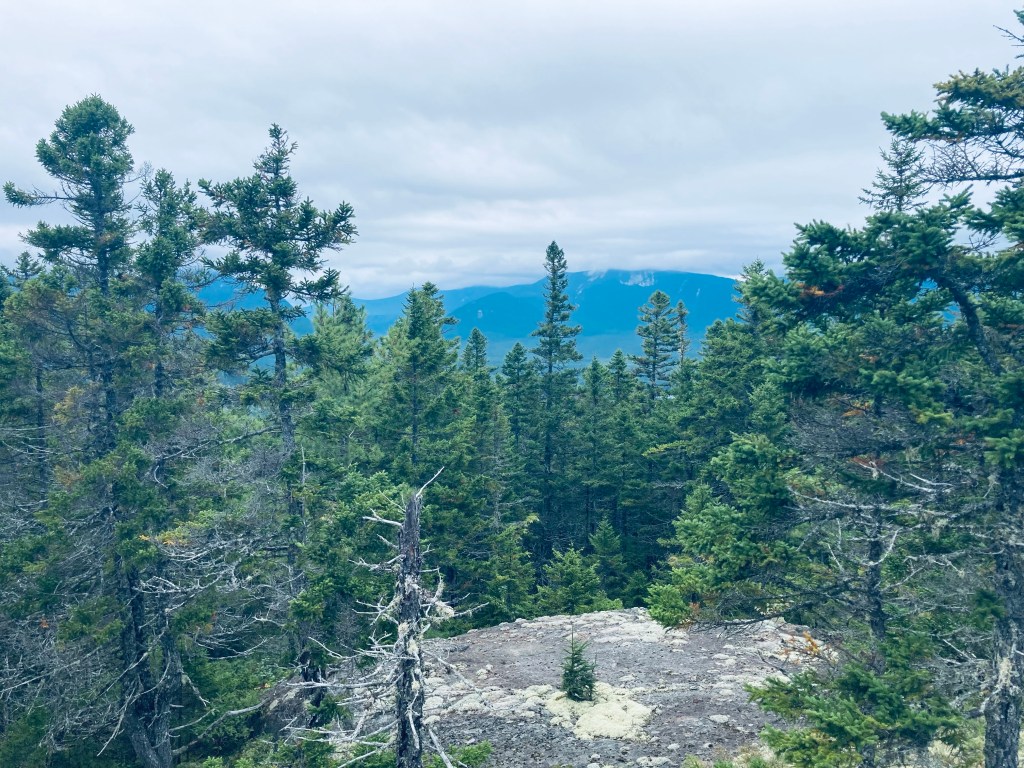
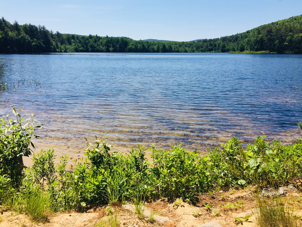
At about this point in the hike, a light rain began to fall, mostly absorbed by the canopy above me, that continued throughout. At a little before .4 miles. I reached the intersection with the Draper Pond Trail, and continued straight on the spur down to see Draper Pond. The trail was short and easy, and the flat surface of Draper Pond reflecting the mountains was well worth the short detour. I flipped around and headed back up the side trail to rejoin the Doubletop Mountain Trail. The trail was winding, with roots and fallen trees, but generally flat and easy, surrounded by moss, ferns and large glacial erratics. At one elevated point, I could see both peaks of Doubletop Mountain through the trees to my left, and heard a pileated woodpecker loudly calling through the forest.

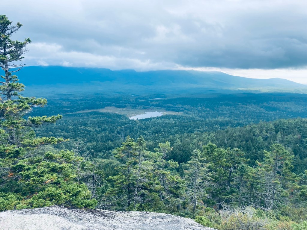
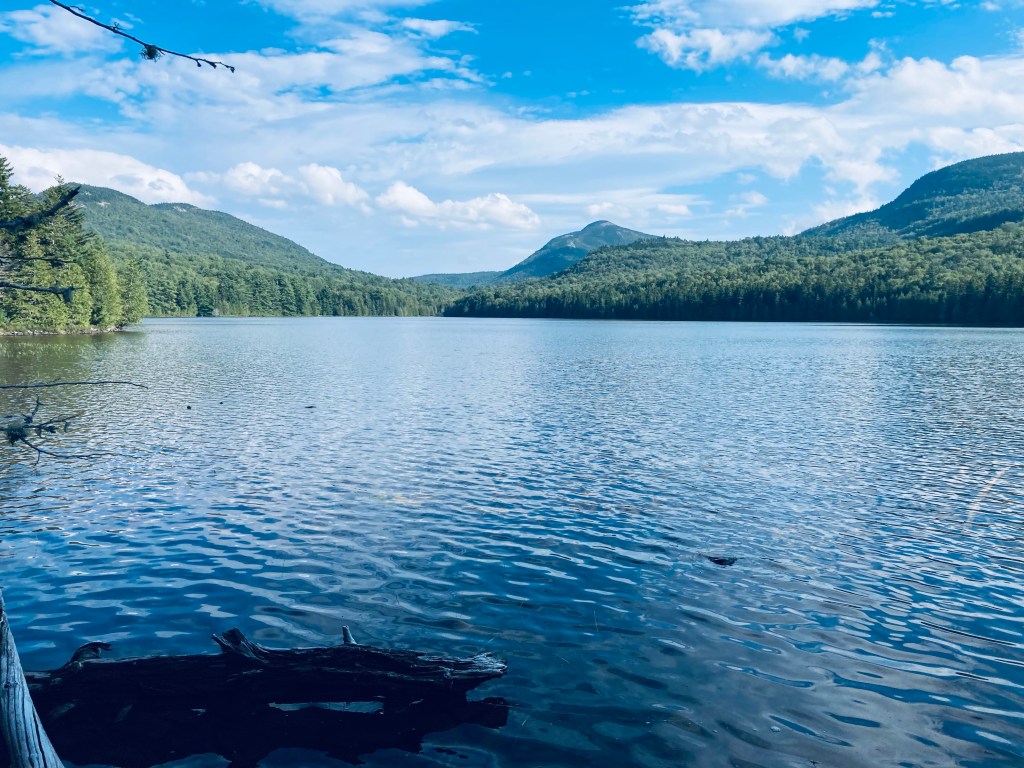
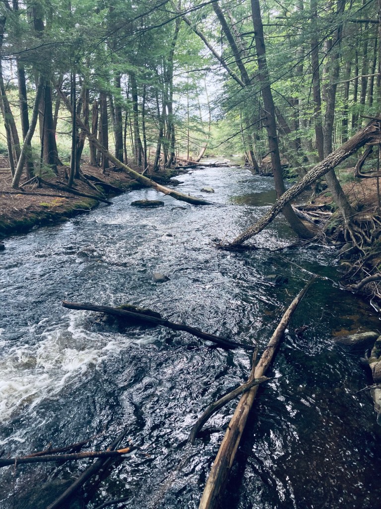
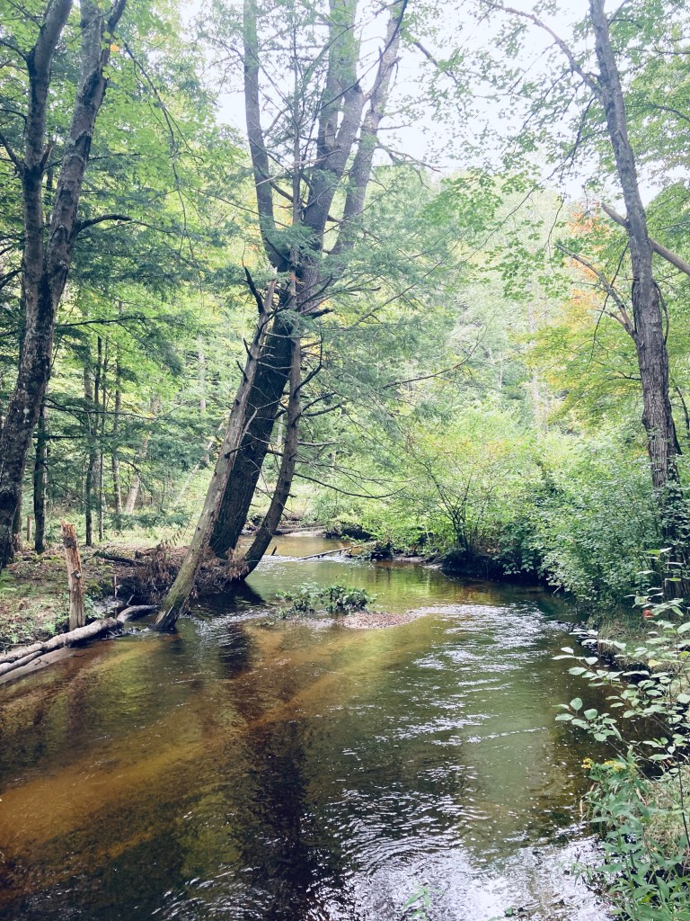
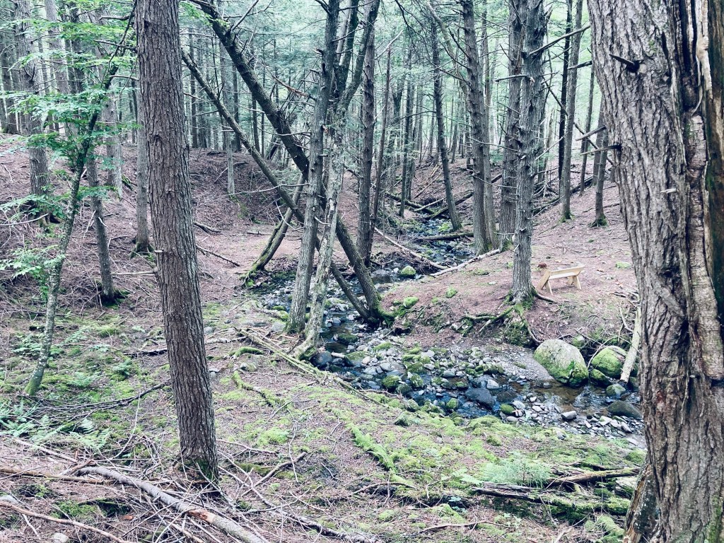
At about 1.1 miles, I entered a boggy area which required some maneuvering around standing water and negotiating plank bridges over Slaughter Brook, at this point, a swamp overlooked by Doubletop, and held back by beaver dams. The trail was a little more difficult here, as some of the plank bridges had fallen, but I picked my way through. When I got across Slaughter Brook, it appeared that some kind of storm or microburst had taken down a large number of trees, probably accounting for the damage at the crossing I had just made. The trail continued to move in tandem with Slaughter Brook, and at about 1.4 miles, following a right turn, the larger expanse of Deer Pond was visible in front of me, with waving grasses and views of the mountains.

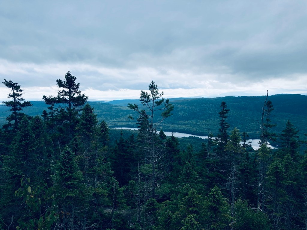
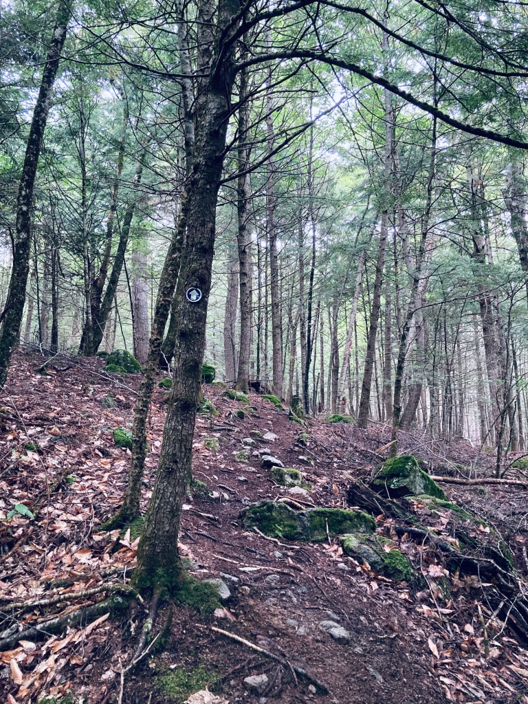
I reached the junction with the Slaughter Pond Trail that comes in from the trailhead on Kidney Pond Road, and continued west towards Slaughter Pond. This flat, single-track trail was relatively overgrown, but flat, fast, infused with a pine scent, and serenaded by squawking jays. At about 2.15 miles, I passed the intersection with Doubletop Mountain Trail to the right, and continued less than a mile more, the edge of Baxter State Park marked by a white diamond. This was the beginning of The Nature Conservancy property, followed by a stream crossing. I quickly reached a large area with canoes strewn all around, the boat storage area, used by people who register with The Nature Conservancy for use on Slaughter Pond, and then walked through the trees to see the pond itself, which was beautiful in the light rain. I had hoped that, by approaching a series of backcountry ponds quietly in the rain in the morning, I would’ve maximized my chance of seeing a moose, but it was not to be this day. I only saw moose droppings on the hill overlooking Deer Pond. I had the trail entirely to myself until I passed a middle-aged couple close to the Draper Pond turn on the way back.

(Disclaimer: This post contains affiliate links, and as an Amazon Associate Hiking in Maine blog earns from qualifying purchases.)