Tower Hill Trail (Grand Lake Stream, ME)

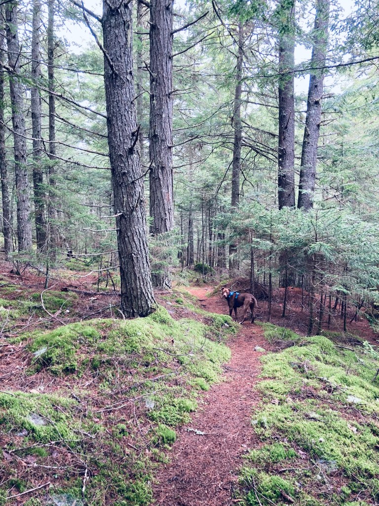
The Tower Hill Trail is part of the great trails maintained by the Downeast Lakes Land Trust (DLLT), centered in Grand Lake Stream. The parking lot for the trail (well-marked with a wooden sign) is on Tower Road, just past its namesake cellular tower (physical address is 86 Canal Street, Grand Lake Stream). The road is a bit bumpy, and if you’re driving a vehicle with low clearance, you want to either take it very slow, or just park at the public boat launch, which will only add another .6 miles to your hike. This is the same spot from which you can access the Little Mayberry Cove Trail. Dogs are allowed, under control, and you must clean up after them.
Tower Hill Trail, Grand Lake Stream, ME

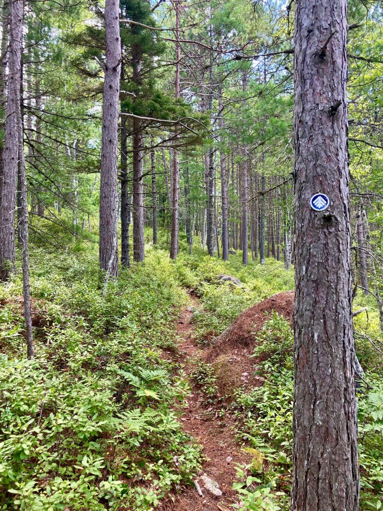
The trail itself is a little over a tenth of a mile up Tower Road, clearly marked with another wooden sign and a sign-in kiosk. The well-maintained trail, marked alternately by blue paint blazes and the attractive blue DLLT placards, begins through a mixed forest. The path, while carpeted with pine needles, contains a fair amount of rocks and roots underfoot throughout. The relatively open forest allowed for the sound of a hermit thrush to echo through it (and about 3/4 mile in, I ended up seeing a hermit thrush alight from the trail and land on a tree branch).
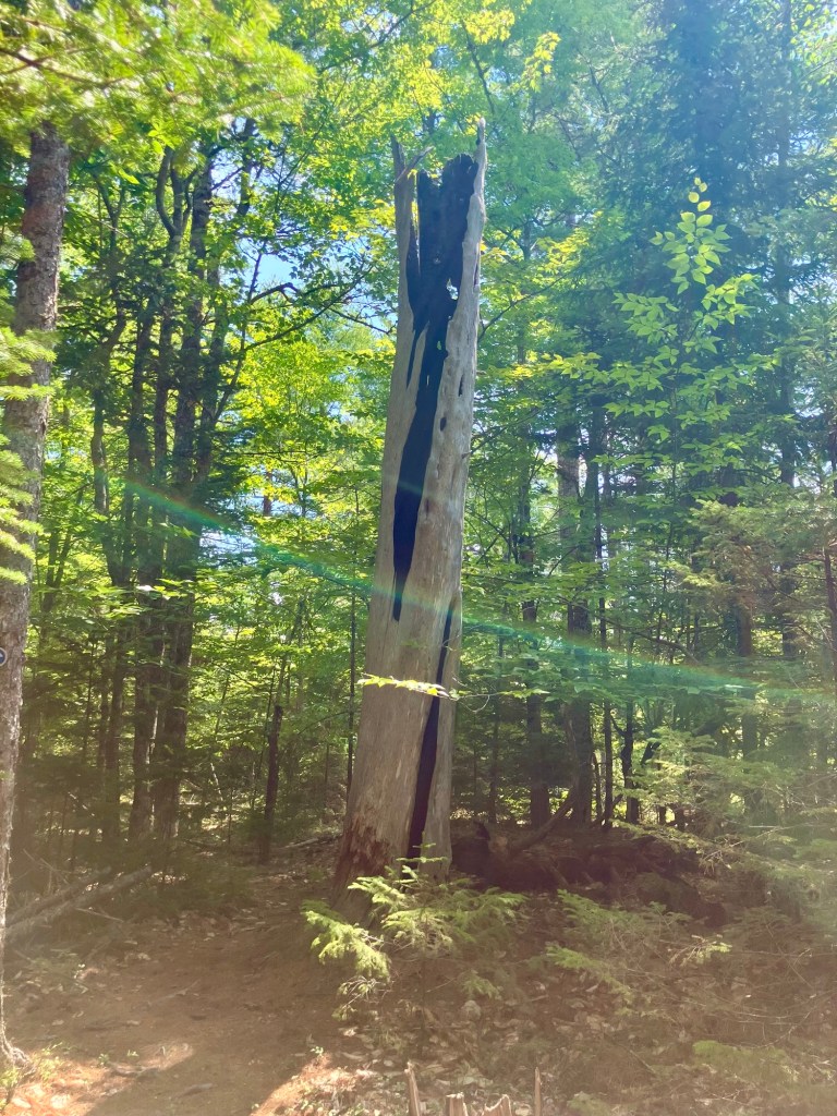
Lightning-burnt hollow tree, Tower Hill Trail, Grand Lake Stream, ME

A low green area to the right of the path appeared to be a bog or a stream during times with a little more rain, but due to drought, I didn’t see any water. About 4/10 of a mile in, there are wooden signs offering the destinations Bonney Brook Lake (forward) and Town (back to the start) as well as a turnoff for the Storybook Trail which was listed as closed. The trees continued to shade the path which was appreciated on this sunny August day, and a breeze off the lake kept the worst of the bugs in check. The trail was very quiet, despite it being a summer Sunday, with no other cars in the parking lot, and only one other party, a family with children, on the trail.

A gentle climb takes you to the top of a hill and then a series of switchbacks back down to its base as the trail parallels Bonney Brook Road, then eventually crosses it. A wooden sign on the opposite side marks its new path. Shortly after the road crossing, an unmarked footpath down to the right through the grass leads to views of Bonney Brook, but more importantly in August, a high stand of ripe blueberries.
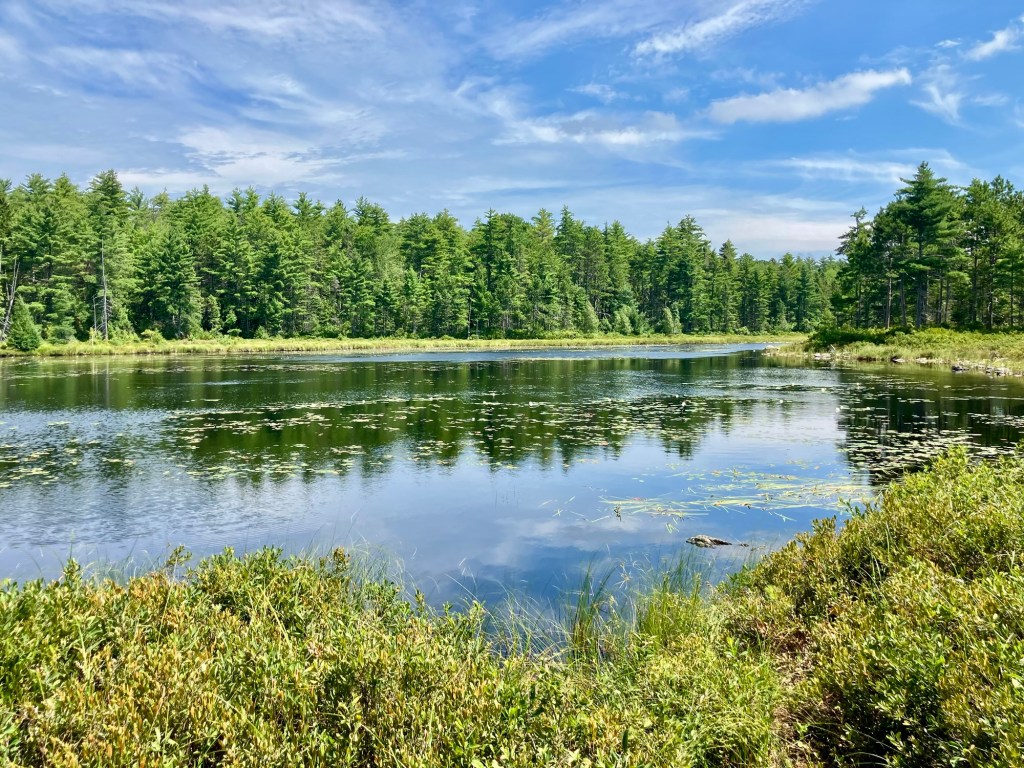
Bonney Brook Lake, Tower Hill Trail, Grand Lake Stream, ME

Bonney Brook Lake appeared off to the right, overlooked by a sturdy deer stand. A more traditional view was available at about one and a half miles in, via a side trail down to the lake, even equipped with a bench for sitting. The lake is impressive, covered in green pads and white lilies. The path itself is lined with huckleberry bushes, with a few tall wild blueberries poking their way through, as well. At a second viewpoint, a large rock jutted into the lake and next to it on a smaller rock, a turtle performatively splayed one back leg in the air.
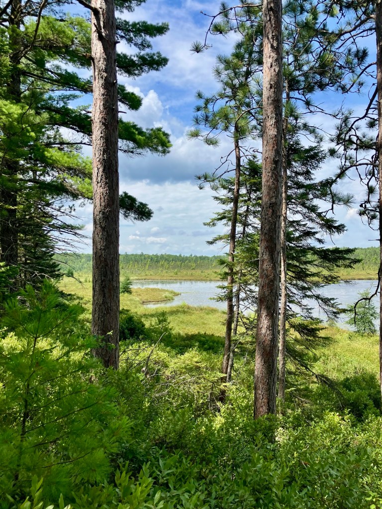
View through trees of Bonney Brook Lake, Tower Hill Trail, Grand Lake Stream, ME

The trail, narrowed by blueberry growth winds a little bit higher before letting out again on Bonney Brook Road at a little over 2 miles, and then a brief walk to the on the road reconnected to Tower Hill Trail on the left. From here, it’s about a mile to complete the 3.2 mile loop. After a wooded section, a wooden sign turns you left to the trailhead down a road listed on the map as Pappy‘s Way. It’s a quiet gravel road, allowing room for a breeze, and follow the DLLT signs uphill until about 3/4 of a mile to the left, (you’ll be breathing a little heavier), you will turn onto Tower Road again to complete the loop.

My All Trails app clocked it at about 3.3 miles, which Pig and I did easily in less than an hour and a half on a hot August afternoon. Need something to eat or drink? Sometimes the lack of choices in a place are a good thing, and Grand Lake Stream’s Pine Tree Store is a full service outdoor and food stop.

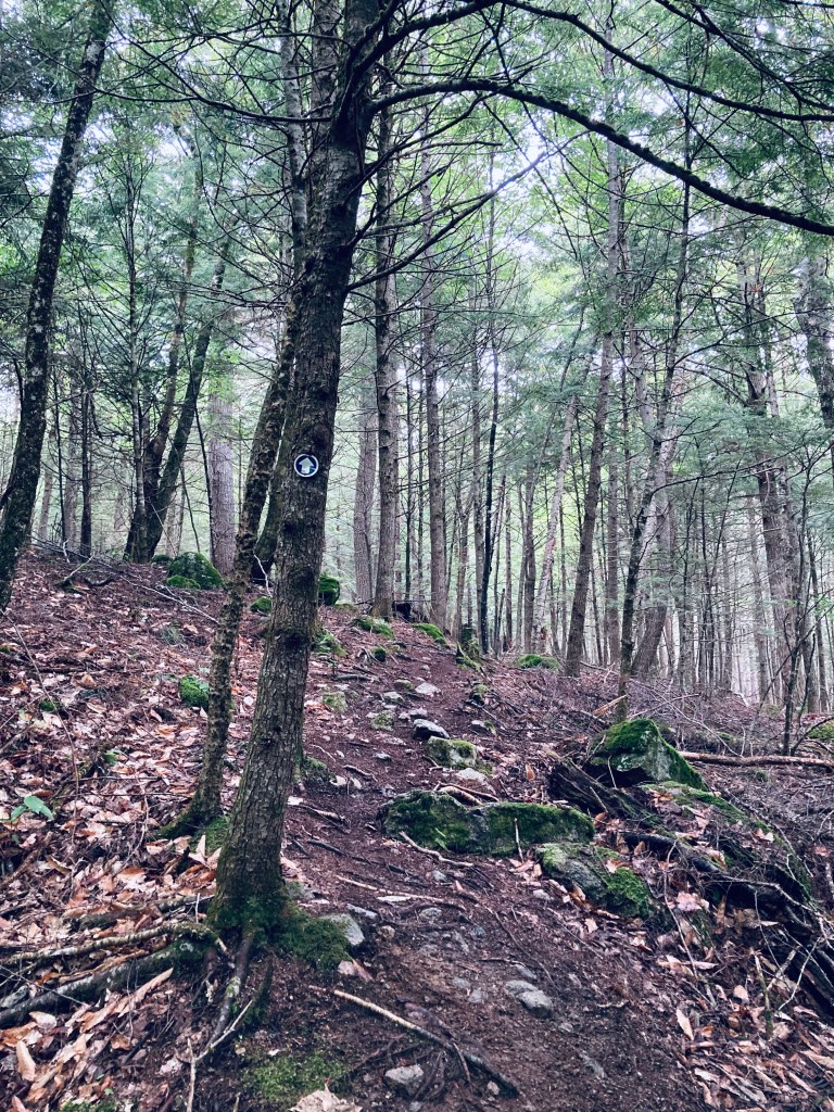
Pig negotiating plank bridge, Tower Hill Trail, Grand Lake Stream, ME

Little Mayberry Cove Trail Loop (Grand Lake Stream, ME)

Little Mayberry Cove Trail, Grand Lake Stream, ME

I first discovered Grand Lake Stream and the Little Mayberry Cove Trail years ago through an August trail run sponsored by Baxter Brewing and Downeast Lakes Land Trust. As young kids, my siblings and I had splashed, played and been ravaged by horseflies in the shallow, rocky waters of the Machias River, and never knew a small town was just up the road a few miles. The Machias River Public Lands off Route 9, full of wildlife, fishing spots, campsites, blueberries, and blackberries, give way to bumpy logging roads leading north to Grand Lake Stream, which is a little under 2 hours east of Bangor, and also more commonly accessible from turning west off U.S. Route One near Indian Township. In mid-August, I came back to this area of Washington County to check out the Little Mayberry Cove trail at a hiking, rather than a running pace.

Little Mayberry Cove Trail, Grand Lake Stream, ME

Over the years, the Downeast Lakes Land Trust (DLLT) has preserved large amounts of land and water, and now manages the giant 57,703-acre Downeast Lakes Community Forest, which includes Wabassus Mountain. Their excellent website has hiking maps and descriptions here, and you can also read a detailed description of the Little Mayberry Cove hike in Maine Hikes Off the Beaten Path. The important part is to do your research and downloads before you arrive, as you won’t find much in the way of cell service in Grand Lake Stream.

Little Mayberry Cove Trail, Grand Lake Stream, ME

The Little Mayberry Cove Trail runs along the southeast shore of West Grand Lake, and parking, trail maps, and a toilet are available at the town boat launch, right next to the dam. The trail itself is 2.5 miles out and back, but navigating via AllTrails, we (husband/wife and Pig the dog) completed a loop using Daugherty Ridge Road of about 6 miles, which took us just under two and a half hours. To get to the trailhead, follow signs leading along Shaw Street, the road next to the lake, then uphill and right (about 1/3 mile) onto the trail, which is attractively marked along the way by individual medallions with silver pines in a blue circle. The trail winds over rolling terrain, with plenty of roots and rocks to hop over, small brooks, spur/side trails and openings in the trees to view the lake.

View of Munson Island on West Grand Lake from Little Mayberry Cove Trail, Grand Lake Stream, ME

We saw brightly colored and oddly-shaped mushrooms and lichen, but no other people on the trail, maybe because we were moving slightly ahead of an impending thunderstorm. At one point, a large bird took off and moved loudly through the thick forest, but we never saw it well enough to identify it. The final overlook of the lake had a nice bench to sit on and watch the wide, flat water. We emerged from the trail onto a logging road, and curved back around Daugherty Ridge Road, mostly uphill, to the trail connecting back to our start point. A good place to cool off, as well, with a swim at the town beach (no dogs, though). Not much in the way of amenities in Grand Lake Stream, but its Pine Tree Store has good food served from a lunch counter, cold drinks, ice cream and more.

West Grand Lake from Little Mayberry Cove Trail, Grand Lake Stream, ME

(Disclaimer: This post contains affiliate links, and as an Amazon Associate Hiking in Maine blog earns from qualifying purchases.)