
(Note: As of October 23, 2020, Baxter State Park offices and headquarters remain closed to the public, but reservations can still be made online and by calling (207) 723-5140. Togue and Matagamon Gates are open 6am to 7pm. Katahdin and Traveler trails are closed at their trailheads to protect alpine resources.)
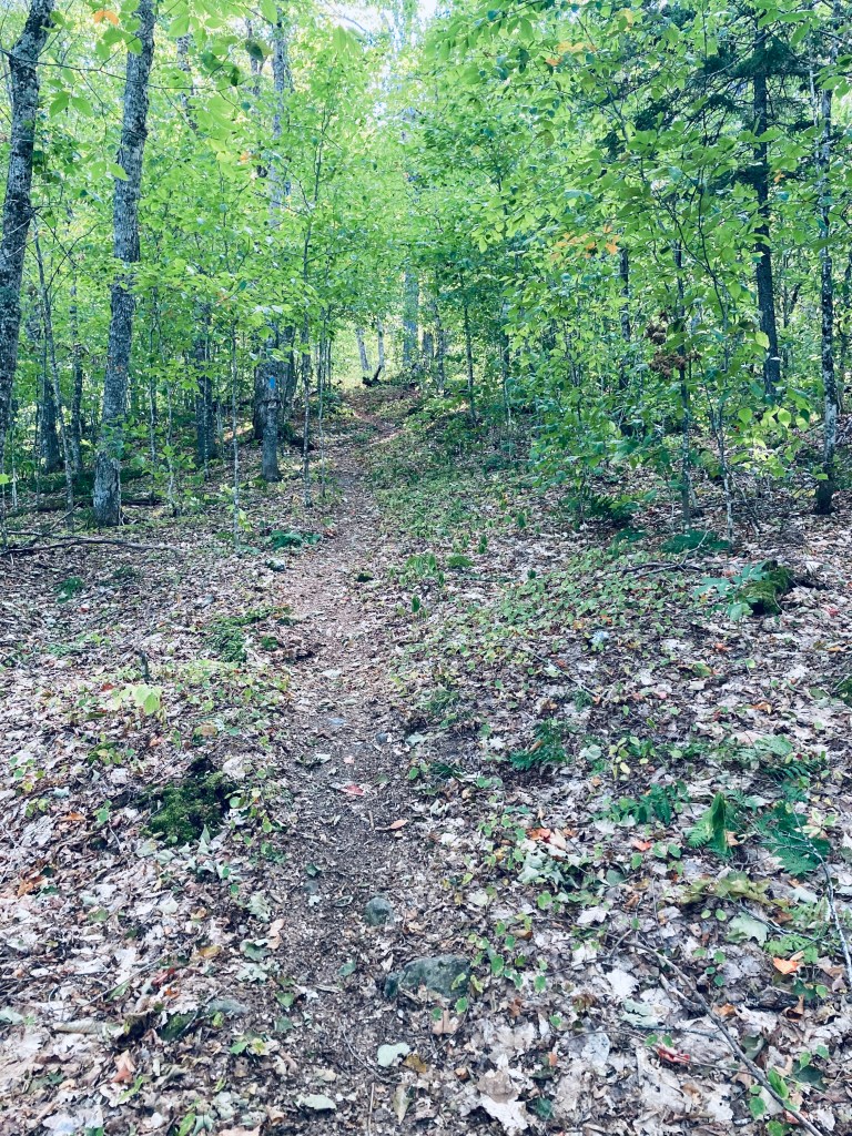
You will not find many mountain hikes in Baxter State Park marked as anything other than “difficult” or “strenuous,” but Burnt Mountain (1,810 ft) is a pleasant, gradual woods walk of about 2.6 miles that took me under an hour, with fewer roots and rocks than most other hikes nearby. The best description and map I found was in Hiking Maine’s Baxter State Park. Burnt Mountain Trail’s out-and-back hike begins at the Burnt Mountain Picnic Site. This remote trailhead, which has a picnic table and a toilet, is along the park’s Tote Road, in the northwest corner of the park, close to the Scientific Forest Management Area.

The prodigious moose poop along the trail (after reflection, I decided not to add a photo) brought up my hopes of a sighting, without any positive resolution. The only real effort expended, which was bracing after the easy walk and a long day hiking, was a long gradual incline right before the summit.

Don’t be disheartened at the summit if all you see is four old fire tower footings and some tall grass. Continue briefly downhill past the summit to an open vista well worth the hike, with views of multiple mountains in the wild central backcountry of Baxter State Park.

(Disclaimer: This post contains affiliate links, and as an Amazon Associate Hiking in Maine blog earns from qualifying purchases.)