Vaughan Woods, surprisingly close to downtown Augusta and the capitol complex, is part of a 197-acre nature preserve adjacent to the historic Vaughan Homestead in Hallowell, Maine, free to the public and open from dawn to dusk. Dogs are allowed, on-leash. The Vaughan Woods website has trail maps, a historical walking guide, and a list of programs. The Woods, comprising 150 acres, are protected through a conservation easement held by the Kennebec Land Trust. Trailhead parking is available in a small roadside lot at the corner of Litchfield Road and Middle Street. If this is full, alternate parking is available (during non-school hours, weekends and holidays) at Hall-Dale High School at 97 Maple St. in Farmingdale, with trailhead access by the tennis courts. This trail, and our photo, was featured in Portland’s monthly magazine in July/August 2024’s “Micro Hikes” article (pg 55).

On a hot July day, and more recently on a cooler May day, I took the Corniche Trail Loop for a lollipop loop of about two miles, taking less than 45 minutes, a good lunchbreak hike. The trail, starting from an information kiosk, starts through an overgrown open field uphill of the homestead, then moves onto a wooded ridge, with Vaughan Brook flowing at the bottom. It can be very muddy in sections, with the biting insects present that one would expect from recent rains. The positive is that the walk is mostly shaded.

A series of well-built stone bridges cross the streams which feed down to the brook, running quickly underneath the trail. The Brook Trail, a short (.4 mile) wooded path, runs along Vaughan Brook. According to the guided walking tour, along this trail is a pool known as Louis Philippe Pool, as the future king of France, then the Duke of Orleans, supposedly fell in here while fishing during a visit between 1795 and 1797.

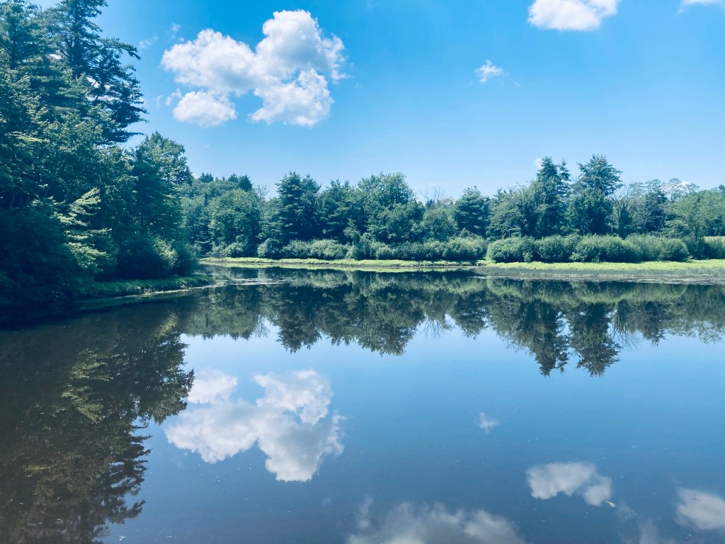
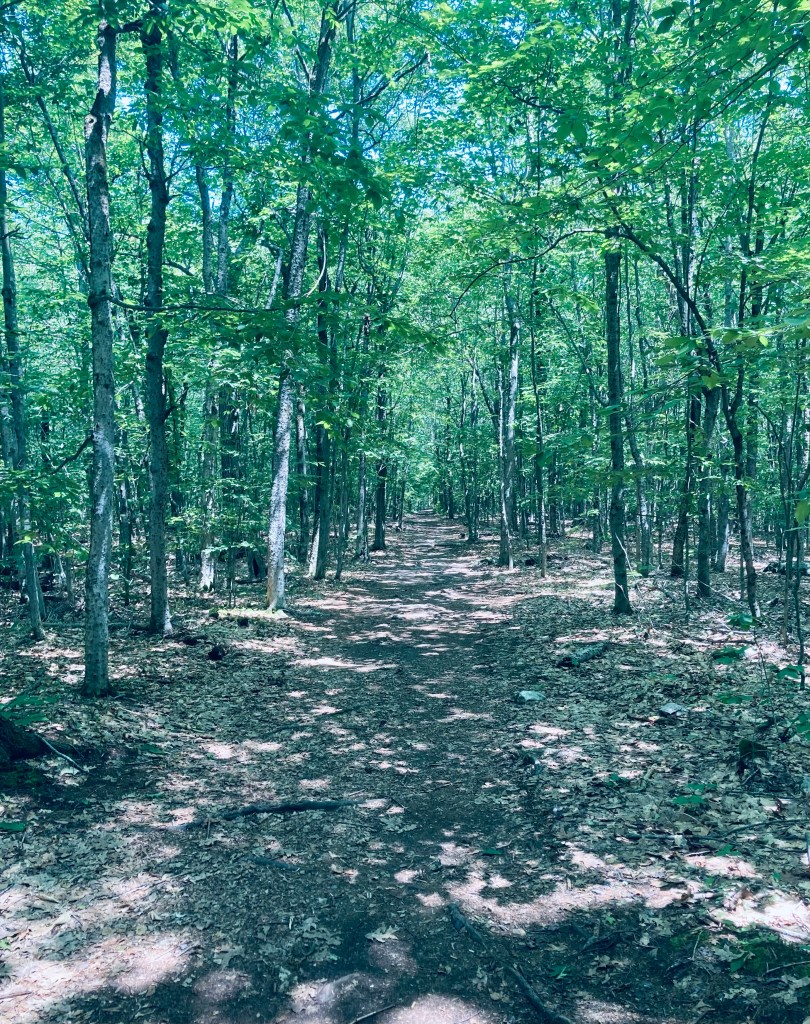
A series of pools, waterfalls, and cascades led up to the stone Driving Bridge, from which the tall Page & Stickney dam holding back Cascade Pond is visible. Shortly after the bridge, I veered to the right to take the Corniche Trail Loop counterclockwise. The trails throughout Vaughan Woods are unmarked, so I used AllTrails to navigate (the trail map bin at the kiosk was empty). Here on the Corniche Trail, you can still hear the sounds of I-95 off to your right. Otherwise, the trail is quiet and shady, surrounded by a mixed evergreen and deciduous forest, and much less trafficked than the Driving Bridge area. I heard the calls of red-eyed vireo, ovenbird, pine warbler, and hermit thrush.
A turn-off to the right led to the high school, but I continued left/clockwise, reaching a high point on Perkins Hill, overlooking an old granite quarry. Here, I heard Eastern Woods Pee-wee, and saw a white-breasted nuthatch, robins, and a line of six squirrels crossing the trail together. As the trail loops back to complete the lollipop, it opens up on a large pasture, covered in wildflowers, milkweed, birds and butterflies. To the left, a maple and a hemlock appeared to have grown together over the years, and their mixed canopy sheltered a series of ferns. I rejoined the original trail, and took a quick detour at the Driving Bridge to climb the stone staircase next to the dam, which led up to views of Cascade Pond.


