
The Mt. Pisgah Community Conservation Area in Winthrop, Maine, is part of over 1,000 acres managed by the Kennebec Land Trust (KLT) and the Town of Winthrop. A trail map is available on the KLT website. The structure of the trails, all marked with blue blazes, makes a full loop impossible without re-tracing steps, but on a mid-October day, we chose to use the Tower Trail, Ledges Trail, and an easy .3 mile up and back on the Blueberry Trail to complete a satisfying 4-mile clockwise exploration of Mt. Pisgah in a little under two hours.

The parking area on Mt. Pisgah Road has a kiosk with a map and space for 8 to 10 vehicles. No restroom facilities are available. On the day of our visit, the parking lot was mostly empty when we arrived, and overflowing with many vehicles parked on the side of the road by the time we returned. The first part of the Tower Trail was filled with twisted sugar maples, ablaze with fall color, with periodic plank bridges over muddy spots. We also noticed a wide variety and color of mushrooms and other fungi along the trail. For those looking for a straight shot to the top, the Tower Trail is .7 miles one-way from the parking area to the observation tower.
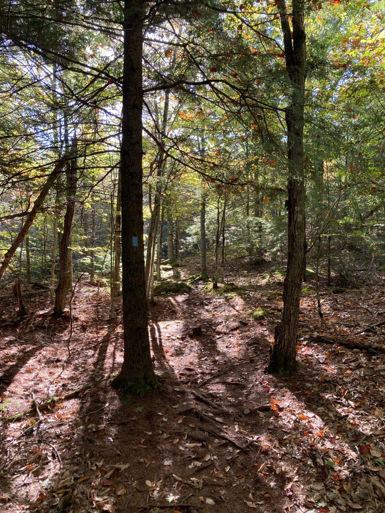
We were looking for a longer hike, and waiting on this fall morning for the fog and clouds to burn off, so we continued left on the Ledges Trail, skirting the top while the sun rose higher. Chipmunks were busy and loud, gathering winter food, and the calls and hammerings of bushy and pileated woodpeckers rang through the forest. The trail meandered over old stone walls, around the ledges to the north of the summit. The trail widened and roots and moss gave way to pine needles at the Blueberry Trail intersection, where we turned left to ascend to the Mt. Pisgah summit. A large garter snake was sunning itself in the trail, and moved sluggishly and slowly out of our path.


The sixty foot former Maine Forest Service tower, used from 1949 to 1991, gives those who don’t have a fear of heights a panoramic view of the Kennebec Valley, all the way west to the White Mountains, on this day dotted with the oranges and reds of fall. On clear days, the Camden Hills are apparently visible to the east, but they remained shrouded in mid-morning fog. A cell tower stands slightly north of the fire tower. We returned down the Blueberry Trail, passing the titular highbush blueberry plants in a former cow pasture as the trail moved downhill, crossing streams and passing an increasing number of people and dogs headed up to the tower.


One thought on “Mt. Pisgah”