For the best foliage hikes, I often return to the White Mountain National Forest (WMNF), which has the perfect mix of pine and deciduous forest, displayed in sunny tiers, to boost the powerful colors of fall in New England. Albany Mountain (1,930 ft) in south Oxford county, near Bethel, on the eastern edge of WMNF, is a relatively easy climb for the quality of its views, which include a variety of fall colors spread across the forests, lakes, and hills leading to the White Mountains to the west. The hike is fully described in the Maine Mountain Guide, and downloadable maps are available from the site of the U.S. Forest Service, which manages the WMNF. A small parking area with a trail map and information kiosk is located off Crocker Pond Road in WMNF. From here, the yellow-blazed trail led through a yellow, green and orange October forest. Strategically placed rocks bridged small streams, and cut swaths on the margins let light into the surrounding forest.

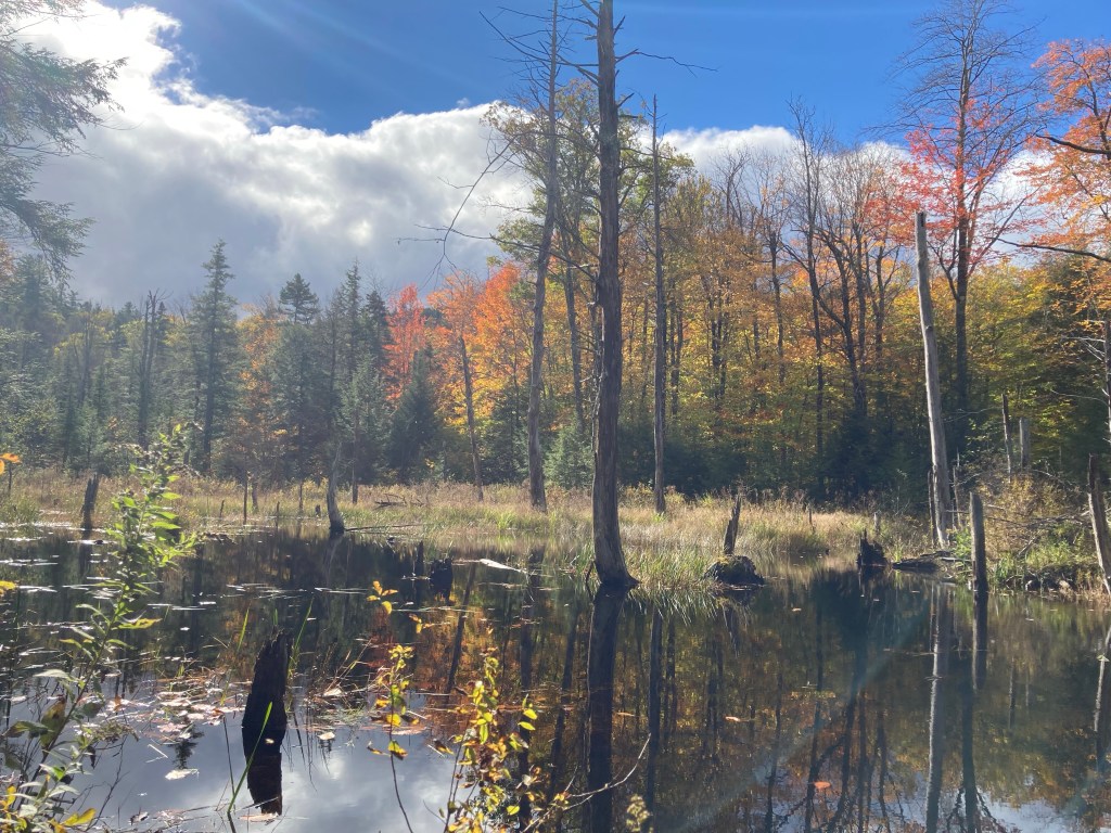
The trail turned south, parallel to New England Brook, with a view northwest over a small bog to rock faces. Shortly after, a small causeway and plank bridge traversed the raised lip of a beaver pond. The trail widened slightly after this and became a softer path, carpeted with autumn leaves. The trail continued to head steadily uphill past old stone walls, and streams carrying the runoff from the mountain with pleasant little waterfalls flowed to the right of the trail. The path ascended, eventually starting to wind up the shoulder of the mountain, where rock ledges bordered the trail, with views through the reduced fall foliage of the surrounding valley. The trail crossed more rock bridges over streams as the trees thinned out, then a left for the .4 mile spur trail to the Albany Mountain summit, at the intersection with the Crocker Pond Trail.

Shortly uphill, a spur to the right led to an overlook facing west, well worth the brief walk. Near and past the summit, the trail was marked mostly by cairns rather than blazes. Reddened blueberry bushes dotted the summit area. The trail started going downhill, winding past the summit to expansive views from the north ledges, and a final panorama of the south and west, including the lakes and rivers, from the open ledges west of the summit. I returned quickly, to the sound of jays and chipmunks, seeing several silent hermit thrushes. The easy descent didn’t take long, and I passed several families headed up the summit. All told, taking all the viewpoints and side trails, this was 4.5 miles, completed in about an hour and a half.


Beautiful photo
LikeLike