Trout Mountain Preserve

Millinocket Lake from Observation Tower, Trout Mountain Preserve, T2 R9, Maine

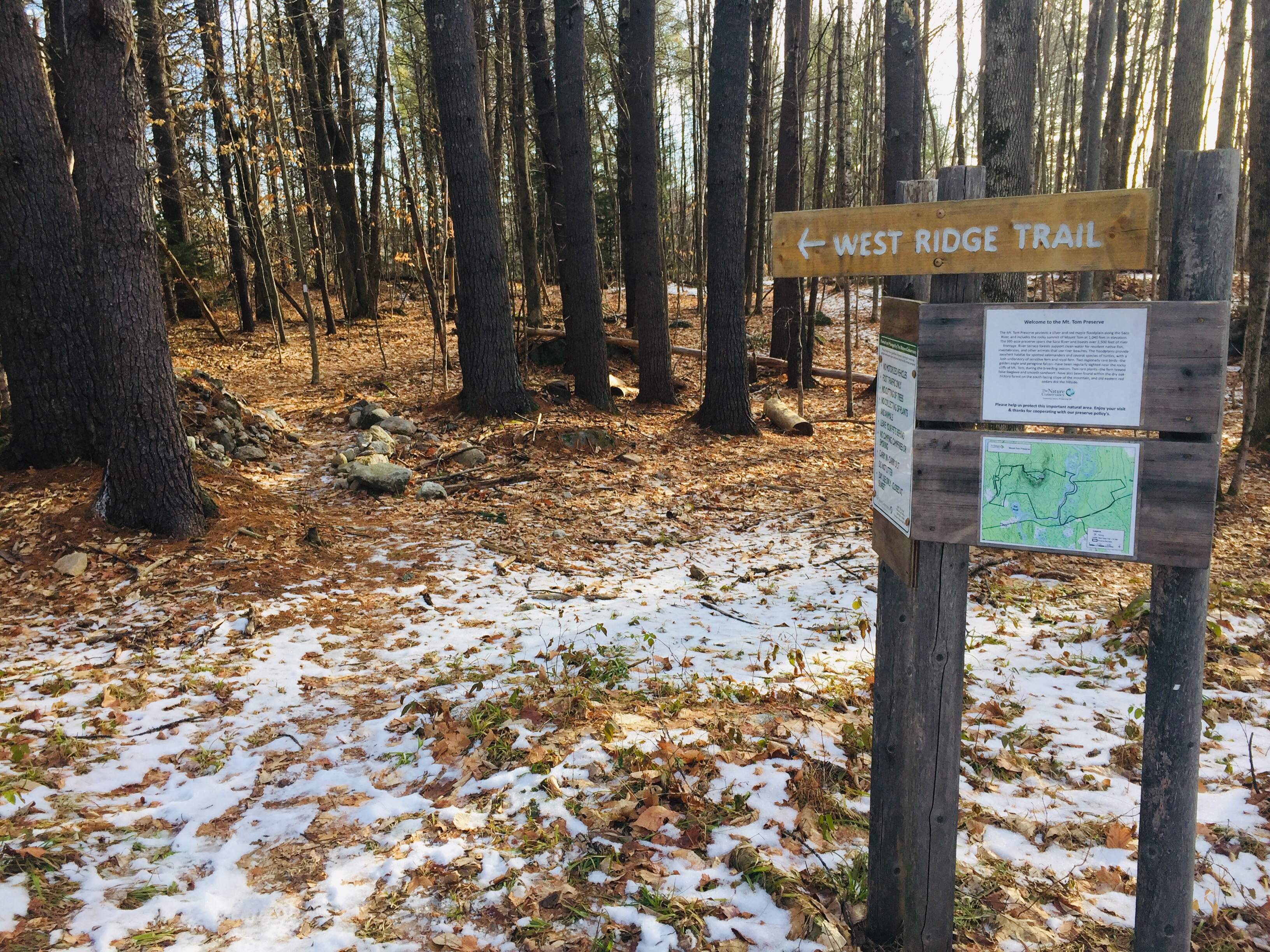
Trout Mountain (1,409 ft) is the centerpiece of a 3,598 acre Preserve owned and managed by The Nature Conservancy (TNC), adjacent to the south side of Baxter State Park, and open from dusk to dawn (no overnight camping). Information and trail maps can be found on TNC’s Trout Mountain Preserve website. This hike is also fully described in The AMC Maine Mountain Guide. The relatively easy trail to the Trout Mountain summit, listed by TNC as 2.7 miles one-way, capped by an 80-foot observation tower, measured a total of 5.26 miles roundtrip by my AllTrails app, with only 827 feet elevation gain, the whole thing taking about an hour and 45 minutes.

Fern-covered boulders, Trout Mountain Preserve, T2 R9, Maine

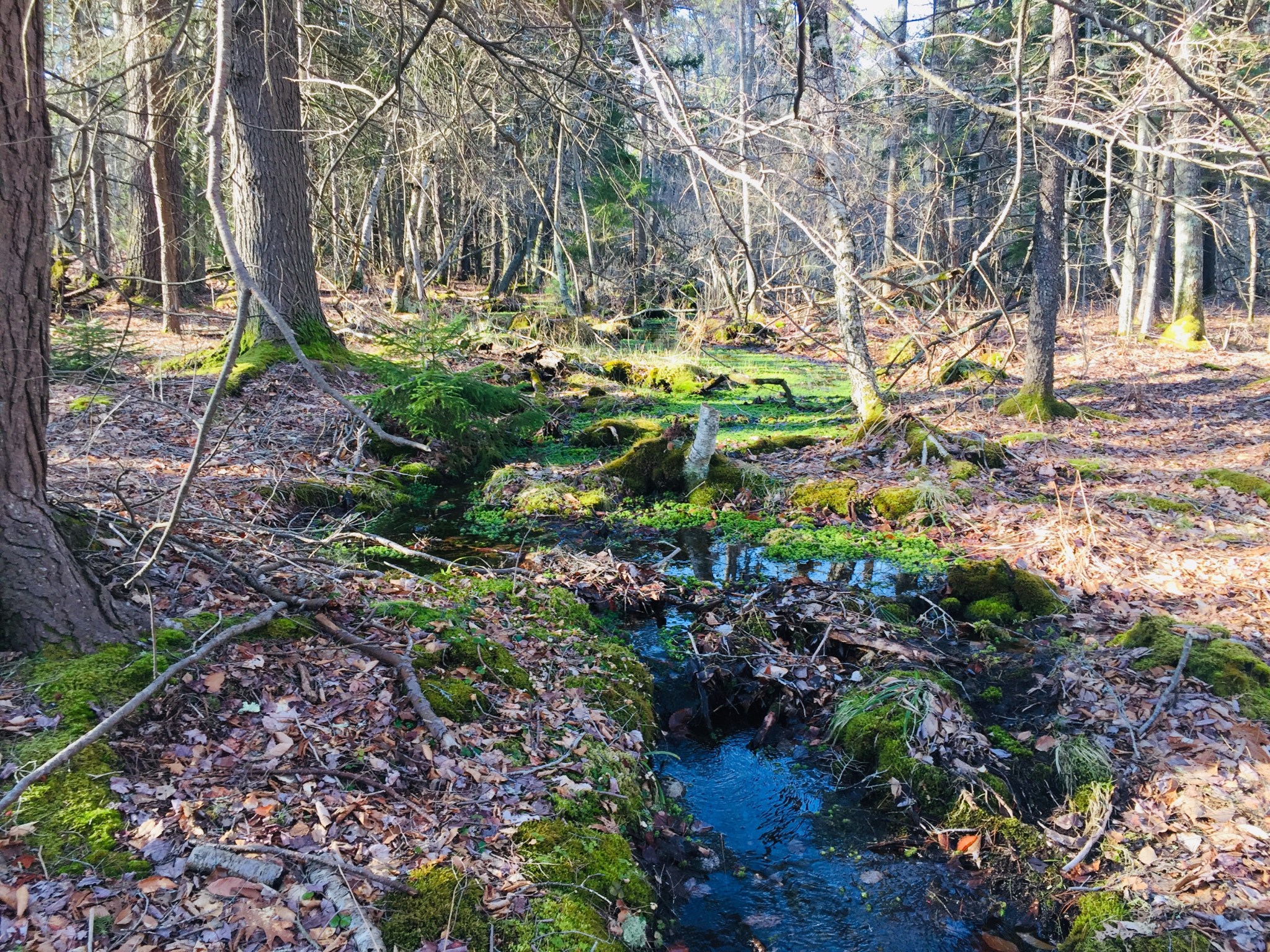
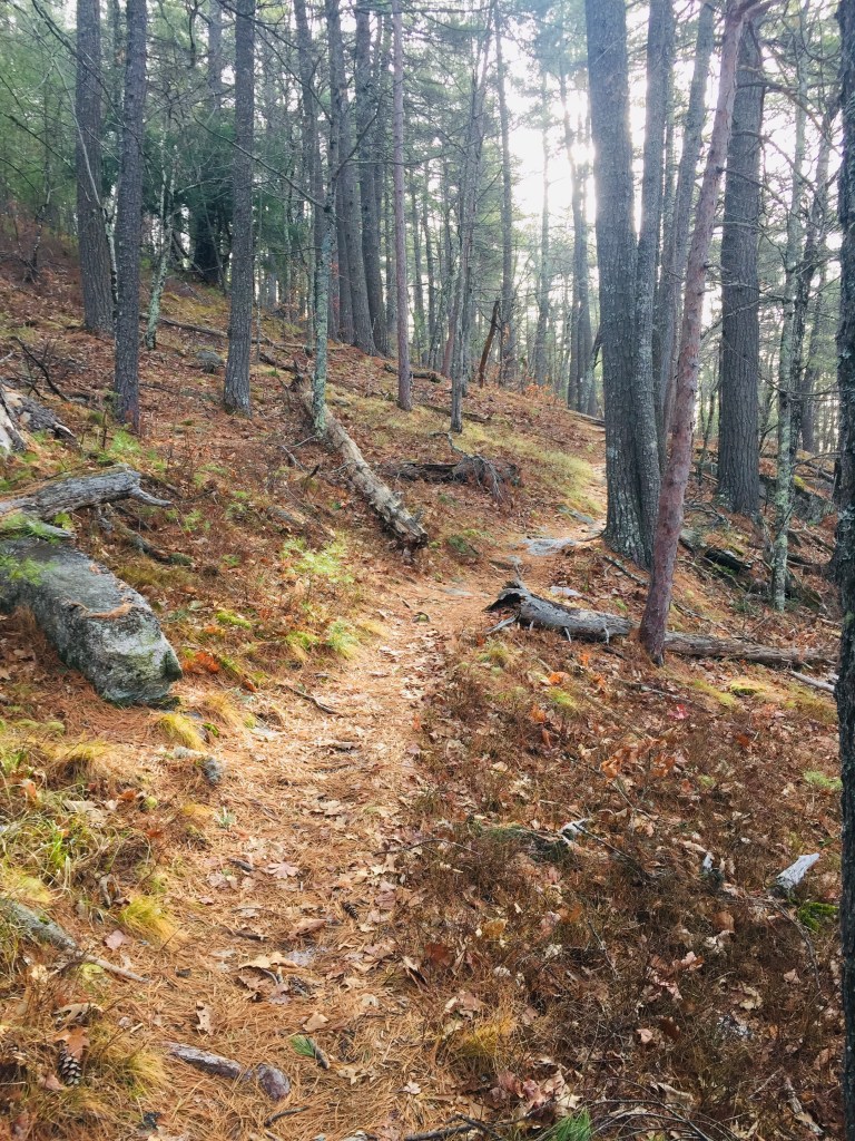
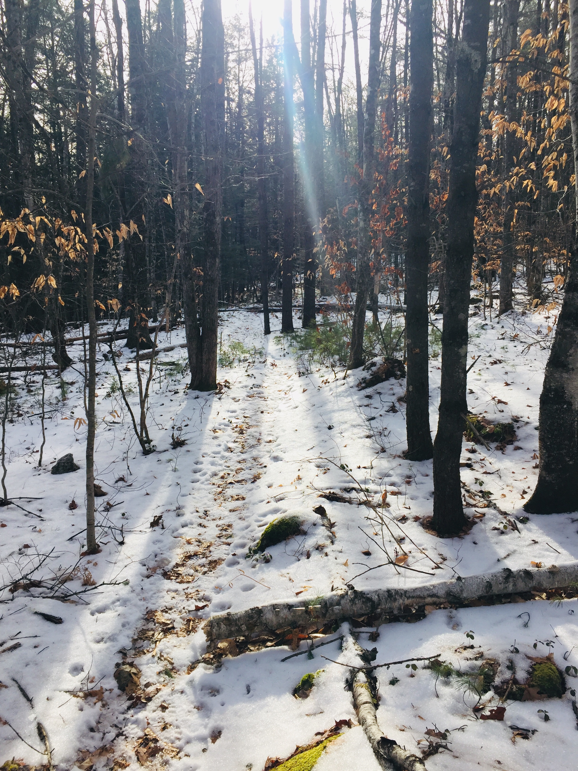
The trail starts from a small kiosk accessible from the same turn as the large emergency helicopter landing area, just short of Baxter State Park’s Togue Pond Gate, where a bald eagle circled when I drove through. The trail is a well-maintained single track that is fairly rocky. After the Nature Conservancy sign welcoming you to The Trout Mountain Preserve, the trail winds through a widely spaced young forest with knee-high ferns.

Trout Mountain Preserve, T2 R9, Maine

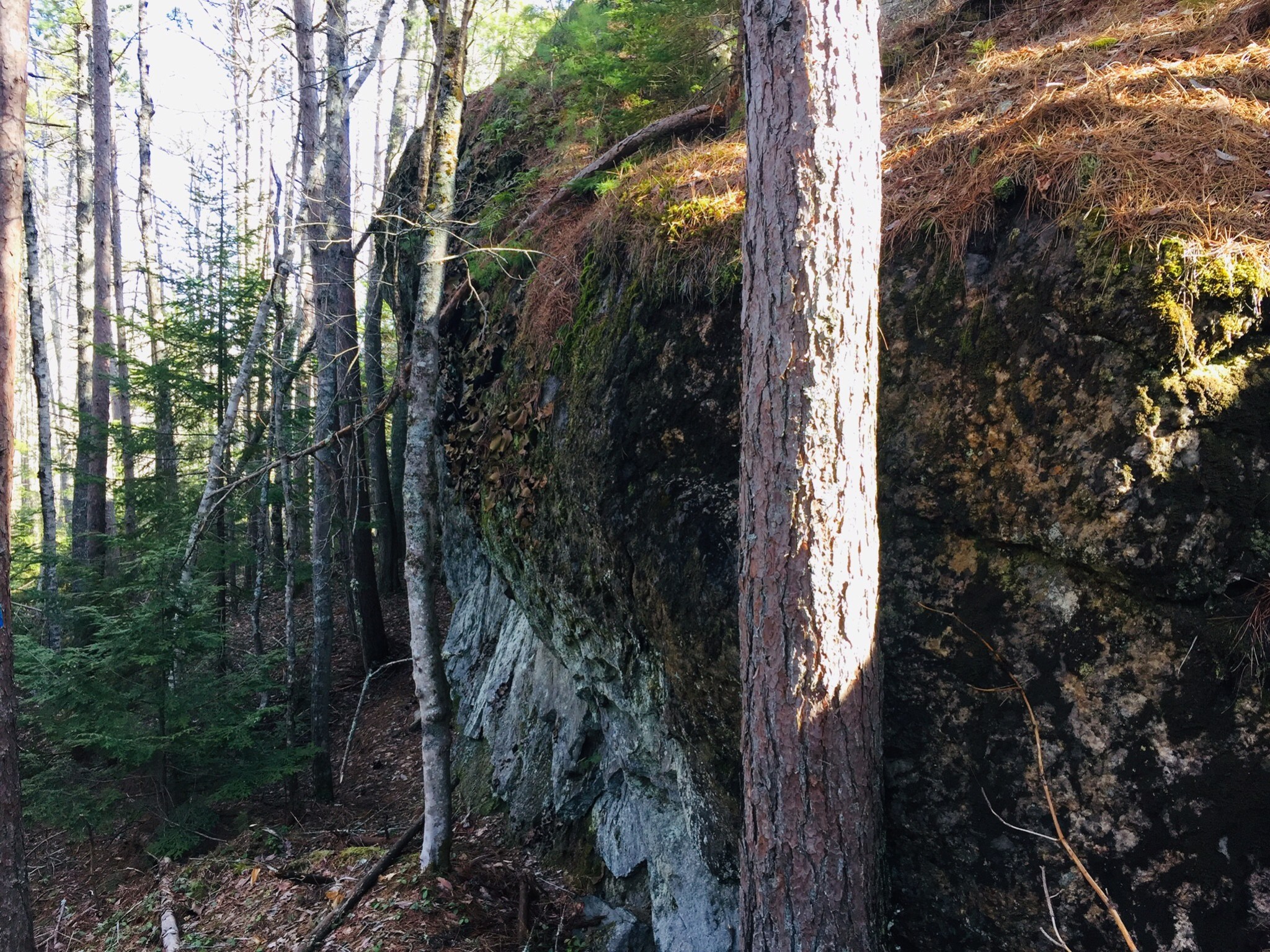
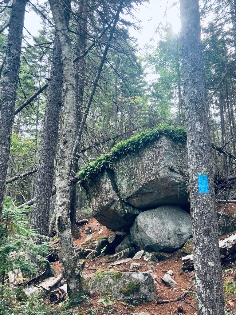
After 2 miles, the incline increases quickly, but it’s through such a beautiful green, moss-covered forest with hobblebush and bright red berries that the strain likely won’t hit you for a little bit. I reached the tower in a little less than an hour’s time. It looked incongruent on this quiet mountain, but I was grateful for its elevation in order to see the surrounding countryside.

Observation Tower, Trout Mountain Preserve, T2 R9, Maine

The tower, which a stamp shows was erected in 2020, seemed absurdly tall while climbing it, and even taller once I was at the top. I could see the surrounding north Maine woods, Millinocket Lake, and Katahdin shrouded with clouds, looking like the cloud would move away soon. There is also an outhouse near the summit. I had the tower to myself, and enjoyed the meager remains of my trail snacks from a weekend at Baxter State Park. The hike back was almost uniformly downhill, and I passed another solo hiker, then a small family, each headed up to the top.

Katahdin from Observation Tower, Trout Mountain Preserve, T2 R9, Maine

(Disclaimer: This post contains affiliate links, and as an Amazon Associate Hiking in Maine blog earns from qualifying purchases.)

Bradley-Sunkhaze Preserve

Birch Stream at County Rd, Bradley-Sunkhaze Preserve, Milford, ME

Bradley-Sunkhaze Preserve, located in Milford, Maine, is 12,710 acres owned by The Nature Conservancy (TNC), adjoining Sunkhaze Meadows National Wildlife Refuge (NWR) and Maine Parks and Lands Bradley Unit. On a cool mid-September morning, I hiked in this remote, quiet preserve, using the Birch Stream Trail. TNC’s website has a trail map, but the scale is problematic (Derek Zoolander would loudly ask if this is a map for ants), and the trails are overgrown and unmarked. I used AllTrails to navigate, and had downloaded the map well beforehand, as there is little to no cellular signal in this area.

Birch Stream Trail, Bradley-Sunkhaze Preserve, Milford, ME

There is a small parking area next to where Birch Stream crosses County Road, across from the Oak Point trailhead at Sunkhaze Meadows NWR. The Birch Stream Trail starts as an overgrown woods road with a small path in the center hemmed in by wildflowers, ferns, blackberry, and other clinging, thorny plants. A large boggy meadow lit by the sunrise opened up to the left, full of songbirds, and plenty of white birch lined the trail.

Boggy meadow, Bradley-Sunkhaze Preserve, Milford, ME
Continue reading

Sprague Pond Loop Trail, Basin Preserve (Phippsburg, ME)

img_7604
Seam of green moss surrounding stream, Basin Preserve, Phippsburg, ME
The Sprague Pond Loop Trail through the Basin Preserve in Phippsburg, ME, is a quiet hike through diverse coastal woodland.  The Basin Preserve consists of over 1800 acres in Phippsburg, Maine, from land donated anonymously to The Nature Conservancy (TNC) in 2006, and adjoins the Sprague Pond Preserve, maintained by the Phippsburg Land Trust. Trail maps of this rolling hike, featuring ridges, mixed hardwood, coastal pitch pine woodland, shrub marsh, and a 10-acre spring-fed pond, are available for download on the TNC website.
img_7612
Ridge covered in sunlight and blueberry plants, Basin Preserve, Phippsburg, ME
On a warm spring day, we took the Loop Trail, from the Burnt Ledge Loop trailhead on Basin Road and a portion of the Meditation Trail along Sprague Pond for a 5.8 mile loop (appx 2.5 hrs). Basin Road is closed for winter maintenance until April 15th, and trails (open sunrise to sunset) can also be accessed from the Sprague Pond Preserve trailhead on Route 209.
img_0003
Spring runoff in wooded stream, Basin Preserve, Phippsburg, ME
Take time at the Basin Road trailhead to read the sign next to the fenced-in area opposite the trail, where TNC and the Maine Chapter of the American Chestnut Foundation maintain a seed orchard, where they are attempting to a produce a blight-resistant chestnut adapted to Maine’s climate. The Sprague Pond Loop Trail is a lollipop loop that divides at Burnt Ledge, and we chose the counter-clockwise loop, heading first down the western side of the trail.
img_0020
Rocky terrain and mixed vegetation, Basin Preserve, Phippsburg, ME
This well-marked path, covered in pine needles, winds up and down small ridges, which are covered in blueberry plants.  Despite the recent rains and swollen streams due to snow melt, the trails were dry and well-maintained.  A few fallen trees made for brief scrambles/detours, but this was the exception, rather than the rule.
img_7618
Canada geese, south end of Sprague Pond, Phippsburg, ME
We saw and heard songbirds and squirrels throughout the hike, but the animal life peaked at Sprague Pond, where we saw mallard ducks, a great blue heron, Canada geese, a circling bird of prey (unidentified), and a garter snake enjoying the sunny Meditation Trail. Shortly after the pond, a beaver dam and lodge were visible, and a spring torrent fed a rocky waterfall next to the trail.
c44931ad-37b4-42ff-9d47-e3d45909033e
Waterfall near Sprague Pond, Phippsburg, ME
After the waterfall, the eastern side of the loop was primarily a mixed hardwood forest, open and light-filled, with desiccated beech leaves rattling in the wind, chattering squirrels and silent birches awaiting spring.  This serene coastal woodland preserve offers a nearly six mile uninterrupted walk through pines, moss, blueberries, and birdsong.  

(Note: no pets or bikes are allowed on the trail)

Mount Tom (Fryeburg, ME)

In January 2020, I hiked Mount Tom (1,073 ft) via the West Ridge Trail, an approximately 3.5 mile out-and-back from the parking lot for Mount Tom Preserve at Menotomy Road in Fryeburg, which took about an hour and fifteen minutes.  Like Hawk Mountain and Mount Tire’m, which I did earlier the same day, this is a short but rewarding Oxford Hills hike.  This can also be done as an approximately 4-mile loop hike by continuing after the summit to the Mount Tom Trail, then returning south on Menotomy Road, which is usually relatively quiet, to the start point.

Kiosk and start of West Ridge Trail from Nature Conservancy parking lot, Mount Tom Preserve, Fryeburg, Maine.

This parking lot, and the Preserve, which includes the summit, are maintained by The Nature Conservancy (TNC).  TNC’s excellent description of the Preserve follows:

Mt. Tom Preserve protects a silver and red maple floodplain along the Saco River, and includes the rocky summit of Mount Tom at 1,040 feet in elevation. The 995-acre preserve spans the Saco River and boasts over 3,500 feet of river frontage. Several day-use hiking trails provide recreational opportunities, as does as a 1.14 mile seasonal snowmobile trail that is part of a larger network maintained by the Interstate Sno-goers. Visitors can summit Mt. Tom, canoe along the Saco River, or just walk through the beautiful forests!

River terrace forests support clean water for resident native fish, invertebrates, and other animals that use river beaches. The floodplains provide excellent habitat for spotted salamanders and several species of turtles, with a lush understory of sensitive fern and royal fern. Two regionally rare birds–the golden eagle and peregrine falcon–have been regularly sighted near the rocky cliffs of Mt. Tom, during the breeding season. Two rare plants–the fern-leaved false foxglove and smooth sandwort–have also been found within the dry oak-hickory forest on the south facing slope of the mountain, and old eastern red cedars dot the hillside.

View south from West Ridge Trail, Mount Tom, Fryeburg, Maine.

The West Ridge Trail, marked by white blazes and small TNC emblems, rolls across that floodplain, crossing small brooks, passing ghostly birches and large rock formations, until becoming steep about a mile in.

West Ridge Trail, Mount Tom Preserve, Fryeburg, Maine.

The trail ascends the ridge, with frequent views through clearings in the trees, to meet the Mount Tom Trail, at which point, it turns right, and shortly thereafter, reaches the summit and its rocky ledges and views.

Mount Tom summit, Fryeburg, Maine.

The descent in winter was easy, with microspikes, and I saw several other groups, all with dogs, ascending the trail on my way back.  An added benefit in winter was the lack of bugs, which would be omnipresent in the late spring and early summer in the first portion of the trail.  This hike may be challenging for very young or out-of-condition hikers, but presents an easy to moderate walk in the woods, with views to the south of the Saco River Valley.

West Ridge Trail in winter, Mount Tom Preserve, Fryeburg, Maine.