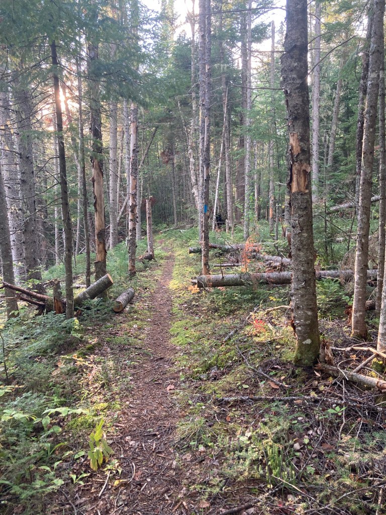
Wadleigh Mountain (1,259 ft) is a short hike just inside the Scientific Forest Management Area (SFMA) in the north of Maine’s Baxter State Park. The hike, described in the Maine Mountain Guide, begins at the trailhead for Wadleigh Brook (parking in a small area across the Park Tote Road) just west of the SFMA kiosk. Baxter State Park’s downloadable trail map of the SFMA covers this area. This flat, fast trail moves initially through a pine forest above Wadleigh Brook. Moose and bear scat were frequently visible, but the only animals I saw were squirrels and birds.
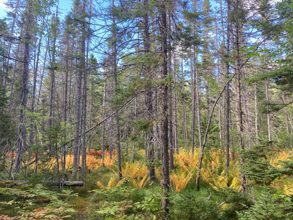
The trail changes to a swampy area with many more insects, crossing over several plank bridges, and passing late summer ferns turning orange and red. At about 1.4 miles was the intersection with the Frost Pond Trail, and a right turn to follow it, and cross Wadleigh Mountain Road, following blue blazes.

From here, it’s a rolling, mossy hike of a little less than a mile to the Wadleigh Mountain viewpoint. A series of sunny ledges to the right held bygone blueberries before the summit. Views are best on these ledges, as the summit itself is wooded. The return trip, mostly downhill, was made in fading light to complete the 4.7 mile out-and back of less than two hours on this remote but easy hike in northern Baxter State Park.

(Disclaimer: This post contains affiliate links, and as an Amazon Associate Hiking in Maine blog earns from qualifying purchases.)

I so enjoy hiking with you on your various trails.
LikeLike