Fields Pond Audubon Center (Holden, ME)

Mowed Path, Fields Pond Audubon Center, Holden, ME

The Fields Pond Audubon center is a 229-acre sanctuary in Holden on the shores of Fields Pond. Trails are free and open to the public year round, dawn to dusk, and dogs are not allowed. In mid-August, I took a loop of the outside perimeter of Fields Pond by using the Mowed Path behind the Visitors Center, crossing the 300 foot bog bridge to the Lake Shore Trail, to the Beechwood Trail, then back on the Ravine Trail. This relatively easy loop of about 2 miles took about 47 minutes. I navigated using AllTrails, and trail maps are available on the website of the Fields Pond Audubon Center The trails are also well-marked and self-correcting, as prominent intersections are marked alphabetically.

Lake Shore Trail, Fields Pond Audubon Center, Holden, ME

I heard catbirds almost immediately, calling through the wide open fields covered with goldenrod, thistle, Queen Anne’s lace, and other wildflowers, attended by Monarch butterflies and many other insects. I continued left over the bog bridge to the Lake Shore Trail, stopping to let pass a sizable group of young day campers. The forest of the Lake Shore Trail quickly opened up to the shore of Fields Pond, where people were enjoying recreation opportunities like fishing and sailing. Maine Department of Inland Fisheries and Wildlife lists Fields Pond as a popular place to catch pickerel and perch.

View of Fields Pond from Lake Shore Trail, Fields Pond Audubon Center, Holden, ME

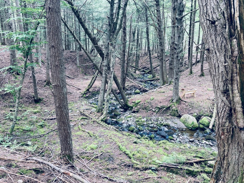
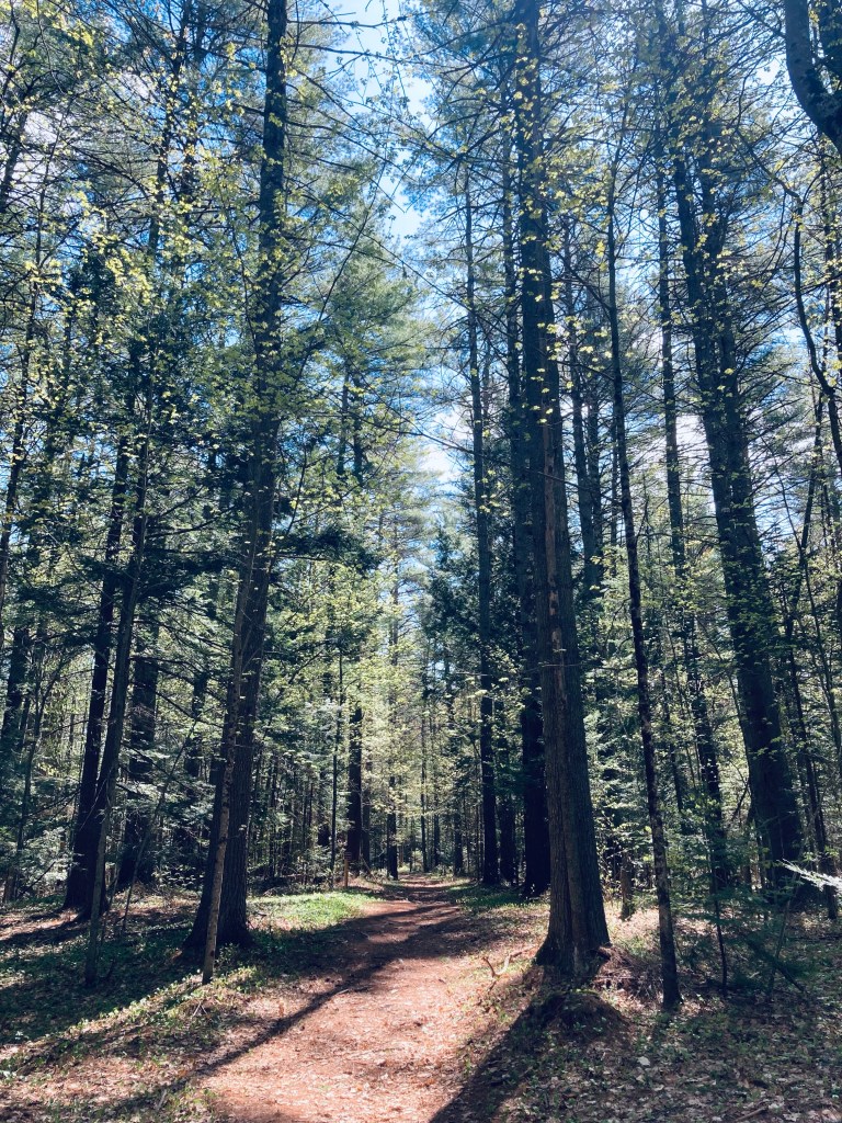
At the letter “E” on the trail, I turned up and left to follow the blue blazes of the Beechwood Trail. The slope of this trail was slightly more challenging than the level grade of the Mowed Path and Lake Shore Trail, and wound uphill through a relatively open forest with many signs of recent trail work. Crows called throughout the piney trees, which gave way to the trail’s tree namesake, as well as numerous oak and birch. This deciduous forest quickly turned to marsh and swamp, and an American Goldfinch sang me through this portion, where there were ample deer tracks splashed through the mud.

Bright purple fungus, Beechwood Trail, Fields Pond Audubon Center, Holden, ME

The chattering of gray and red squirrels took over for the Goldfinch, and I picked my way through a host of ferns, and more swampy, low-lying areas, before I reached the intersection with the connector trail to Hart Farm Trails (conveniently marked with an “H”). I turned left to head back on the Ravine Trail toward the Nature Center. This portion of the trail was wide and covered with soft pine needles. At the intersection marked “G,” I turned left again to stay on the Ravine Trail as it worked its way downhill towards the Nature Center. At “C,” I turned right, and took rough stone steps down at the intersection of the Brook Trail to stay on the Ravine Trail, continuing the downward walk back to the parking area.

Stream running alongside Ravine Trail, Fields Pond Audubon Center, Holden, ME

Bald Bluff Mountain (Amherst, ME)

Overlook to the south on Bald Bluff Mountain, Amherst, ME

Bald Bluff Mountain (1,011 ft) is located within the beautiful Amherst Mountains Community Forest, a Public Land reserve of almost 5,000 acres, located east of Bangor in rural Hancock County off Route 9 (the Airline) on the way to better-known Downeast destinations. The day after hiking the Partridge Pond and Ducktail Pond Loop in mid-August, I again took Pig the dog up Bald Bluff Mountain, a lollipop loop of about 2.25 miles which we did in about an hour and fifteen minutes. As usual, I used AllTrails to navigate, and there is a thorough description and map in Dog-Friendly Hikes in Maine (pets under control are allowed). The state of Maine has a comprehensive map and guide to the Amherst Mountains Community Forest, including campsites and the Partridge and Ducktail Ponds hike, here. Again, the turn off Route 9 onto Ducktail Pond Road (22-00-0 road), marked by a blue Amherst Public Lands sign, is a tricky hairpin off a busy road from either direction.

Pig inspecting moose droppings, Bald Bluff Mountain Trail, Amherst, ME

The road is a typical logging road, dirt and gravel with some washouts and protruding rocks, and when I used the road this day, there was someone using heavy equipment to grade it, which made the ungraded portion a bit like the surface of the moon. It would be slow going in a low-clearance vehicle. The Bald Bluff parking area is about 6 miles from Route 9 – Google Maps will likely take you in from the north (from the direction of Sunkhaze Meadows NWR in Milford and/or Stud Mill Road) on the 22-00-0 road, which is another access point. I made some errors at the beginning of our hike, by following a grassy, overgrown woods road/biting insect nursery north of the parking area. The actual trail is just south (downhill) of the parking area, marked by a small brown “Trail Head” sign on a tree. This required me to do some bushwhacking to get back on track, and is reflected in the mileage. We were not the only ones to use this route, as evidenced by some of the comments on the Maine Trailfinder site, and generous piles of moose droppings on the disused road.

View just shy of summit, Bald Bluff Mountain, Amherst, ME
Continue reading

Wolfe’s Neck Woods State Park

Casco Bay from North Loop Trail, Wolfe’s Neck Woods State Park

(Note: as of July 2025, ongoing construction affects accessibility and capacity at Wolfe’s Neck. You can receive park Park & Trail Conditions by sending a Text WOLF to 888-514-7527.)

For good reason, Wolfe’s Neck Woods State Park is a popular year-round destination for both Mainers and visitors. Close to the shopping mecca of Freeport and L.L. Bean’s adventure excursion launchpads, the state park can sometimes become crowded with people seeking an accessible outdoors spot (it’s listed as #1 of 21 things to do in Freeport by TripAdvisor). There are, however, quiet parts of this over 200-acre coastal sanctuary. A detailed map and description can be found in the worthwhile Falcon Guides’ Hiking Maine, or free, along with a calendar of activities, on the Wolfe’s Neck Woods State Park website. Entry to the park, which is open for day use, is $4 for Maine residents (free for veterans). Dogs must be leashed, and owners must pick up after their pets. No bicycles are allowed on the Wolfe’s Neck hiking trails. Restrooms are located near the parking area, and picnic areas are interspersed through the park nearby.

Googins Island from shore by Casco Bay Trail, Wolfe’s Neck Woods State Park

On a busy weekend at the beginning of July, we used the White Pines Trail, North Loop Trail, Casco Bay Trail, and Harraseeket Trail to make an easy 3 mile perimeter loop, taking about an hour and a half to enjoy, and as usual, navigating using the AllTrails app. As soon as we left the parking area via the White Pines Trail, we began to hear a variety of birds, including red-eyed vireo, dark-eyed junco, black-throated green warbler, and inland, a broad-winged hawk. On the shoreline, we heard and saw osprey, including one returning to the treeline with a large fish. Further along, on the Harraseeket Trail, we heard the distinctive song of a hermit thrush, chipping sparrows, blackburnian warbler, and a blue-headed vireo.

Casco Bay view, Wolfe’s Neck Woods State Park
Continue reading

Fore River Sanctuary (Portland, ME)

Jewell Falls, Fore River Sanctuary, Portland, ME

We’ve explored Portland’s Fore River Sanctuary many times in different seasons and conditions. This preserve, open from dawn to dusk and maintained by Portland Trails, is 85 acres of nature inside Maine’s largest city. Fore River Sanctuary contains a waterfall, as well as a lowland marsh area popular with bird watchers, and is a favorite with dog walkers. It is in fact, featured in the book Dog-Friendly Hikes in Maine, and dogs under control (voice or leash – we saw both) are welcome in the Sanctuary, as long as owners pick up after them. Regarding birds, we encountered a hardy birdwatcher braving morning bugs on a June day on the Forest City Trail (FCT) Canal Path, listening to red-winged blackbirds, song sparrows, and mockingbirds, and we saw many mallard ducks, crows, and a snowy egret.

Snowy egret and mallard ducks, Fore River Sanctuary, Portland, ME

The FCT Canal Path, covered in wildflowers and serenaded by birds, leads past a salt marsh to the alternate parking area on Frost Street at Maine Orthopaedic Center’s lot (parking available only in five marked spaces closest to Frost), and destinations beyond. Parking is also available at the end of Rowe Avenue, on Hillcrest Avenue (as of June 2023, this trailhead is closed due to city sewer work), across the street from the Westbrook Street trailhead, and in designated spaces on Starbird Lane. We’ve enjoyed an out-and-back lollipop loop to Jewell Falls from the Frost Street trailhead, mainly using the FCT, of about 3.2 miles.

Dog/crow encounter, Fore River Sanctuary, Portland, ME
Continue reading

Chase Reserve

Chase Reserve, Brunswick, Maine

Chase Reserve is a 194 acre easement on Bunganuc Road in Brunswick, Maine, next to the Freeport line, managed by the Brunswick-Topsham Land Trust. This Reserve, known as a birding hotspot, is a part of the largest remaining unfragmented coastal forest block in Cumberland County, named for former owner and Revolutionary War soldier Benjamin Chase (buried in a cemetery on the property). Due to the season and the time of day, we only heard jays and chickadees, but this coastal spot hosts over seventy migratory and resident bird species.

Chase Reserve, Brunswick, Maine
Continue reading

Peltoma Woods Loop (Pittsfield, ME)

Peltoma Woods, Pittsfield, Maine

Peltoma Woods is located in Pittsfield, on the Town Farm Property along the banks of the Sebasticook River. On a mid-May morning, I took the easy Outside Loop Trail counterclockwise from the trailhead kiosk, located at the DriftBusters Snowmobile Club on Peltoma Avenue. A sign on the kiosk (which has a trail map and other info) warned of vernal pools and wet areas, which proved quickly true, with much rerouting needed around dark pools, their surfaces cloudy with pollen and amphibian eggs. For a much deeper dive, including other nearby hikes and refreshments, check out this Press Herald article regarding Pittsfield.

Peltoma Woods, Pittsfield, Maine
Continue reading

Messalonskee Stream Trail (Oakland, ME)

Sun through the treetops, Messalonskee Stream Trail, Oakland, ME

The Messalonskee Stream Trail is listed alternately as a 3.2, 4 mile, or 6 mile total out-and-back trail along its namesake in Oakland, Maine, open from sunup to sundown. Description and maps are available at the site of Kennebec Messalonskee Trails. I completed this trail in mid-November, and again in early May. On both occasions, they were lightly trafficked, with an emphasis on dog walkers. In November, a notice was posted for hikers to wear orange, due to archery season. In May, there was more mud, more birds, and the streams were running much faster.

Wooden bridge and fall leaves, Messalonskee Stream Trail, Oakland, ME

Parking is available in a small fenced-in lot off Kennedy Memorial Drive, just before the bridge next to the Oakland Town Office. An alternate start point is at the north end, off Rice Rips Road. This is a very quiet, accessible trail for being relatively close to I-95. The trail, constructed by the Maine Conservation Corps, emerges from a gap in the fenced area, and climbs to a ridge overlooking the river. On the opposite side of the stream are the castle-like ruins of the Cascade Woolen Mill, with graffiti and tumbling walls, reminiscent of a Stephen King story.

Messalonskee Stream Trail, Oakland, ME
Continue reading

Royal River Park (Yarmouth, ME)

Royal River Park, Yarmouth, ME

Yarmouth’s Royal River Park, located just outside the small town center, has a short out-and-back trail running alongside the falls of the Royal River. A detailed description is contained in Hiking Waterfalls Maine, including the downstream First Falls, which are separated by Bridge Street from the prior three along the trail. The water “trail” can be explored via canoe, and maps are available from the Royal River Conservation Trust. We walked the easy land route, about 1.4 miles total, in mid-March, taking us less than half an hour. The park itself, used for community concerts, is wide near the parking area, and includes picnic tables, to make a longer trip. A parking area is located across the street from the Yarmouth History Center.

Royal River Park, Yarmouth, ME
Continue reading

Quaggy Jo Mountain

View east from North Peak of Quaggy Jo, Aroostook State Park

Quaggy Jo Mountain (1,213 ft) is located within Aroostook State Park, about 5 miles south of Presque Isle, and a detailed description of the hike is available in the Maine Mountain Guide. Aroostook State Park charges a $3 entry fee for Maine residents, payable via a drop box next to the gate on the May afternoon I came through. Online maps are always hard to come by for Maine state parks, so I’ve included a photo of the physical trail map placard.

Parking is available at a large lot next to Echo Lake, at the base of the Quaquajo Nature Trail. (The popular belief is that Quaggy Jo is the shortened from of “Qua Qua Jo” a native American phrase for “twin peaked”). Not having done enough research, I started the Quaggy Jo hike counterclockwise, starting with the Nature Trail, marked with blue blazes, and proceeding via the North Peak and Ridge Trails. Guides and maps recommend completing this loop in the opposite direction, due to the steep ledges on the South Peak Trail, which make descent difficult. I opted instead to double back on the Ridge Trail, then take the Notch Trail back to avoid the issue. This made for a loop of about 2.6 miles in an hour and 15 minutes, which I finished via the Nature and Novice Trails. On the Quaquajo Nature Trail, steps led up an incline and low spots were covered with wooden walkways. The spring trees were still sparse enough to see through, with small green buds indicating the greenery to come.

Lean-to on Ridge Trail, Aroostook State Park

The North Peak Trail crossed over the cross-country ski trail, then quickly turned to a steep series of switchbacks facing Echo Lake, reaching the North Peak summit (1,141 ft). The North Peak had several viewpoints, including a glimpse of snowy Katahdin through the trees. On the rocky Ridge Trail heading across the road from North Peak to South Peak (or vice versa, for those who follow instructions), there is a wooden lean-to with an expansive view of Aroostook County, and Canada beyond. As the Ridge trail dipped between the two peaks, the traverse required a series of hops over fallen trees, blowdowns after recent storms. Loose volcanic rock on portions of this climb show pieces of the rhyolite bedrock that created Quaggy Jo.

View from South Peak of Quaggy Jo, Aroostook State Park
Continue reading

Suckfish Brook Conservation Area (Falmouth, ME)

Bench by beaver dam and pond, Suckfish Brook Conservation Area, Falmouth, ME

Suckfish Brook Conservation Area is a two-part preserve in Falmouth and Westbrook to the east of Highland Lake, a total of about 132 acres in size. On a mid-December day, I explored the 94-acre preserve in Falmouth by the Falmouth Land Trust, with a trail system maintained by the Town of Falmouth that begins in the Conservation Area and connects to trails made possible by neighboring landowners. The Conservation Area is named for the white sucker fish, which spawns in the eponymous brook. The small parking area is at the end of Upland Road, off Mast Road close to the Falmouth/Westbrook line. Navigation through Suckfish Brook Conservation Area can be difficult, as the maps are good, but some of the trails, particularly those through the Christmas tree farm owned by Skillins, are unsigned. I typically use the AllTrails application to navigate and track hikes, but in this case, the best way I found to navigate was using the QR code on the trail sign to access the Google Maps version of the trail map, showing my position relative to my anticipated route. In addition, the AllTrails trailhead directions tried to send me towards the wrong side of Falmouth.

Stone wall, Suckfish Brook Conservation Area, Falmouth, ME

I made a loop by taking the Huston Trail clockwise to the Stone Ridge Trail, the Presidential Trail, the Red Tail Trail, and back north on the Presidential Trail to the Huston Trail, with a quick stop at the Beaver Trail. This route along the edges of the Conservation Area was about 2.6 miles, and easily completed in an hour. A sign and map kiosk mark the beginning of the trails, which are open sunrise to sunset. Shortly after the parking lot, a series of plank bridges led to the right, with a view over a small pond, a bench, and a beaver dam at the pond’s outlet. Returning to the main trail, white-blazed Huston Trail splits to the north and south, and I went left/north. Leaves rattled on the trees and crunched underfoot, frozen under a thin carpet of snow. There are periodic placards along the trail with notices and QR codes regarding the history of the area. The Huston Trail is named for William Huston and his family, the historical landowners. Huston was a forester working for the King of England’s mast agent for Maine, and white pines were harvested for Royal Navy masts here, hence the name of Mast Road, as well.

View of White Mountains from Presidential Trail, Suckfish Brook Conservation Area, Falmouth, ME
Continue reading