Caribou Mountain (Caribou-Speckled Mountain Wilderness)

Views from Caribou Mountain

The Caribou-Speckled Mountain Wilderness area inside the White Mountain National Forest (WMNF) is an accessible but vastly underrated area to hike in Maine, and we hope it stays that way.  Uncrowded, beautiful and wild, but close enough to civilization, it is one of our favorite places.  Another option is an overnight hike of the Royce-Speckled Mountain Loop.  In October 2018, we hiked Caribou Mountain (2,850 ft) via the Caribou and Mud Brook Trails, a moderate 6.9 mile loop, which took us a bit over four hours.  The idea (and map) for this hike again came from the indispensable Maine Mountain Guide’s recommended hikes (see our review of the 11th edition here), and did not disappoint.  With fall foliage at its peak, the views were dazzling.

0179057ddd02c215a53e6f90fa4141391ba45b99e0

We again had wife/mom along as a guest, and we parked at the west trailhead on Rte 113 (Google Maps), from which both the Caribou Trail and Mud Brook Trail depart.  The temperature hovered around 70 by late morning, definitely not an October feel, and we were all in t-shirts for most of the hike.

The Caribou trail weaves over and around Morrison Brook on the way up, and we stopped briefly at Kees Falls, which was impressive, but not running at full volume due to recent drought conditions.  Shortly after the falls, we startled a comically fat raccoon, which stopped foraging, and disappeared (slowly, and with effort) up the opposite side of a tree.  A steady uphill climb brought us to the Mud Brook Trail intersection, and we turned right for the final push to the summit, where we sat in the sun and enjoyed a snack.

012082962b6fb094e6a081c48db079b2d1d8a54f1a

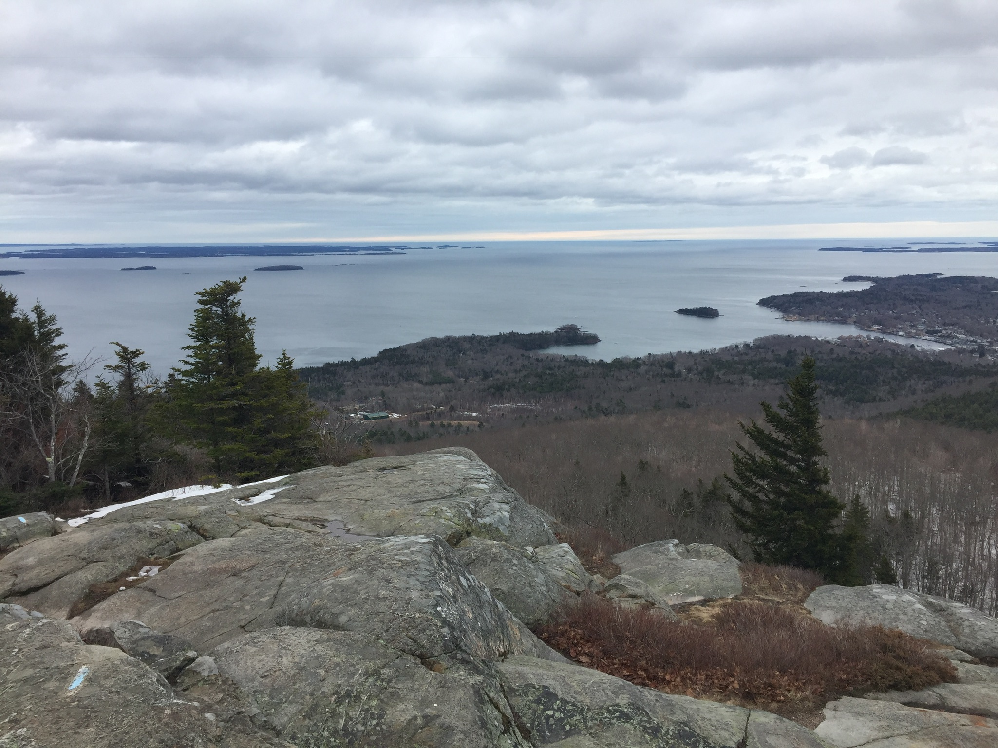
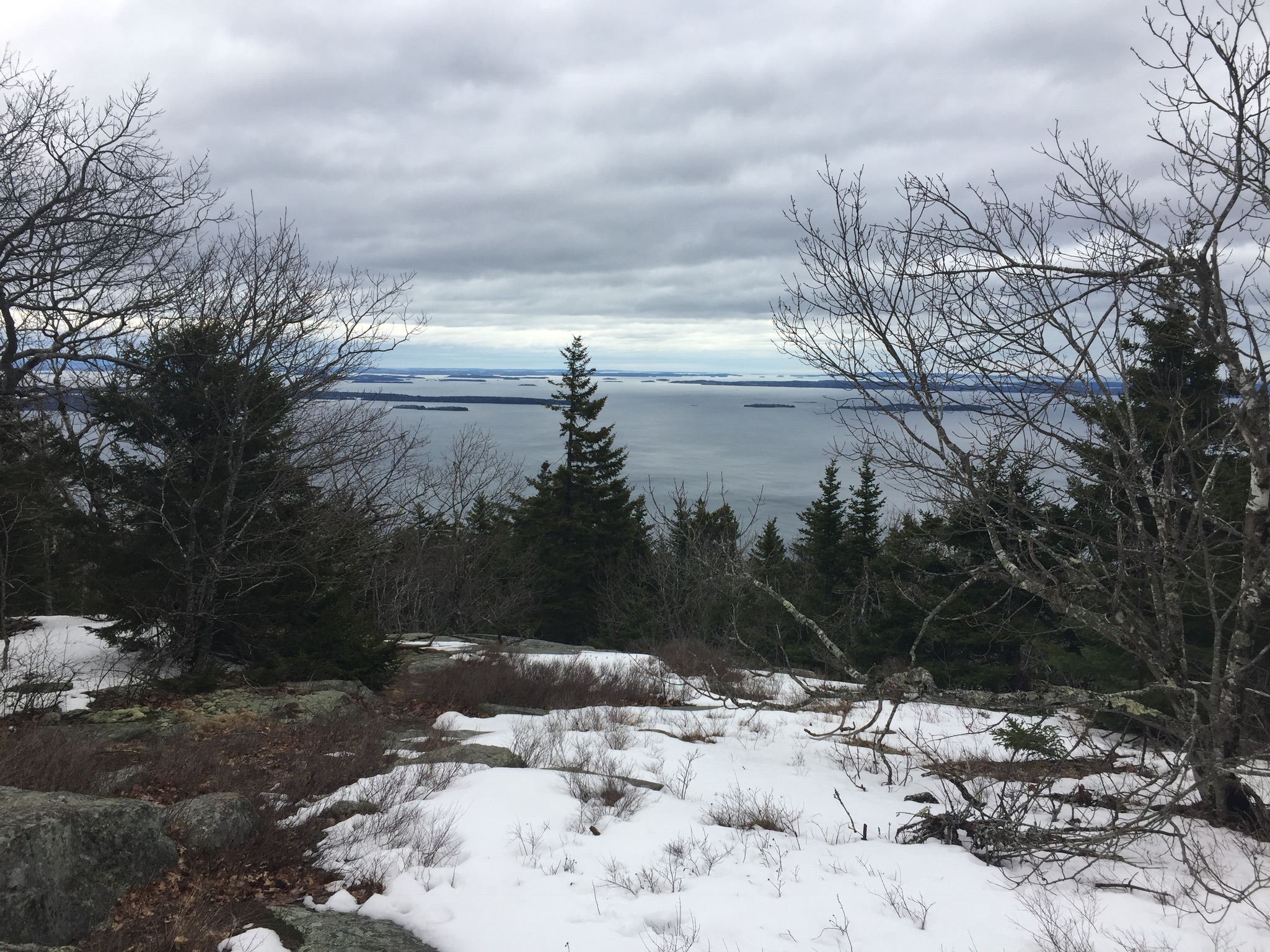
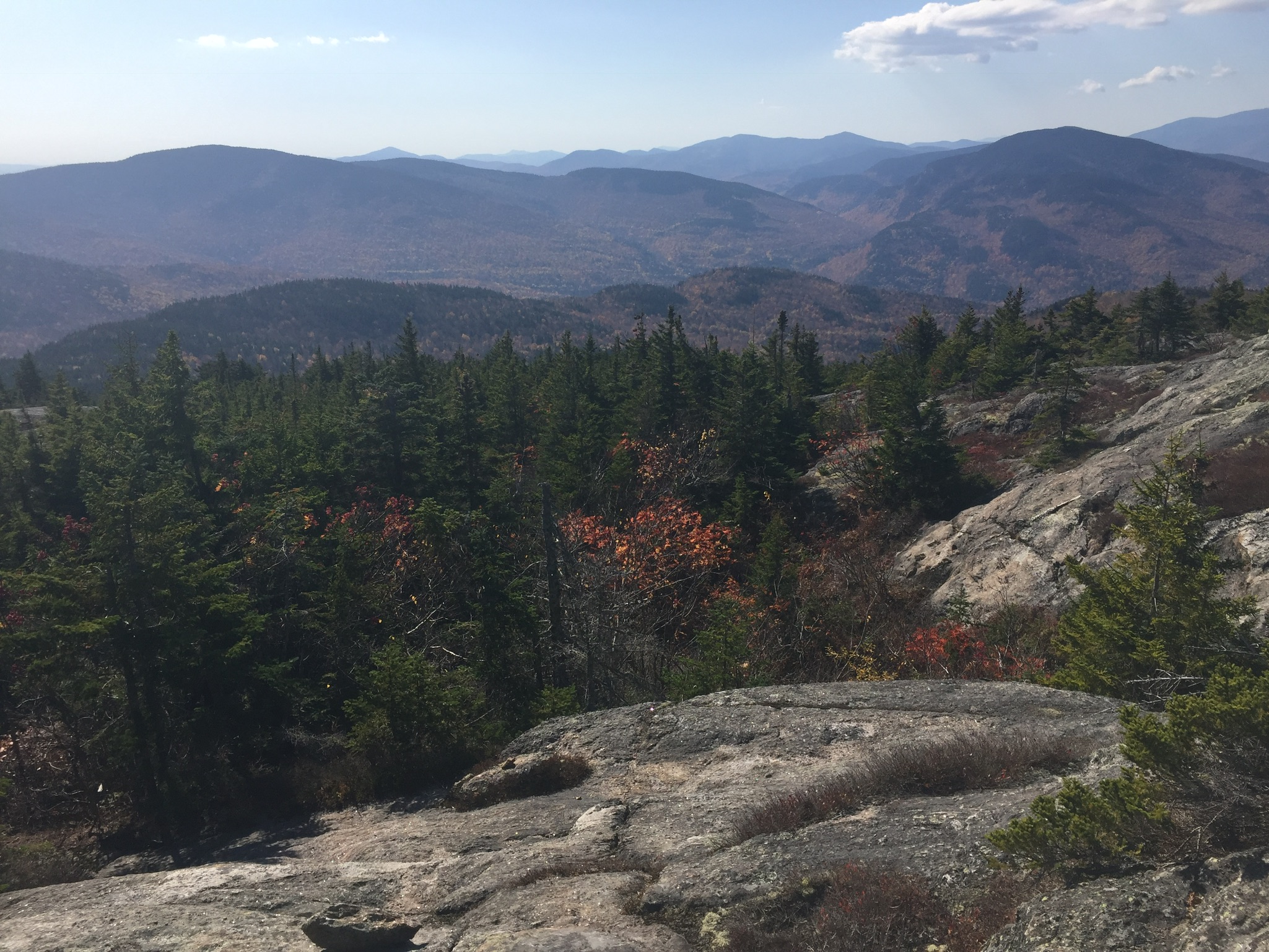
The views from the summit and the ledges below were incredible, highlighting the autumn colors.

Views from Caribou Mountain

Our descent was swift, and made us grateful that we had climbed via Caribou, rather then Mud Brook, which would have been more of a scramble, had we been moving uphill.  The dry leaves made for uneasy footing, however, and we could have used some hiking poles to stabilize ourselves.  The route from the summit to the treeline on Mud Brook was not well-marked, and there were some twists and turns, but we found our way.

Finished by late afternoon, we extended the outdoor day by enjoying a great meal and cold drinks at the screened-in dining area at Ebenezer’s Pub in Lovell, the perfect post-hike location.

(Disclaimer: This post contains affiliate links, and as an Amazon Associate Hiking in Maine blog earns from qualifying purchases.)

Megunticook Loop at Camden Hills State Park

Camden Harbor and West Penobscot Bay from Mount Megunticook

Midcoast hiking means dramatic ocean views.  We first explored Camden Hills State Park in April 2017, when we started our 100 Mile Wilderness Training with a relatively short (5.4 mi) and moderate 3 hour hike- the Megunticook Loop at Camden Hills State Park, via the Mt. Megunticook (10 on map), Ridge (3 on map), Slope (9 on map), and Multi-Use (11 on map) Trails.  The idea for this hike (and many others) came from the indispensable 10th edition of the Maine Mountain Guide , which we have dog-eared and highlighted, as it is an incredible wealth of knowledge (Amazon link is to the new and improved 11th edition, and you can read about all the updates here).  Parking is easy, and a small fee is charged for entrance.

Camden Hills State Park map for Mount Megunticook

It was a good opportunity to test out some of our new equipment, in unexpectedly snowy conditions – the bulk of the hike was done through deep, crusty snow and sheets of ice.

Icy stream, Mount Megunticook

In addition, we had our cousin, an experienced hiker, with us, as well as our wife/mom, a um, not-so-experienced hiker (her meal for the trail was a Ziploc bag of peapods, which she accidentally stepped on in the parking lot).

This loop had some great views along the way, particularly from Ocean Lookout, but not much to see at the top. It was a fairly easy climb, but we would recommend doing it in the late spring, summer, or fall. The trails were well-maintained and this loop had a gravel path for parts of the way. With an elevation of 1385 feet, it was a steady climb for most of the way up.

Camden Harbor and West Penobscot Bay from Mount Megunticook

This was the first time we tried our packs. For dad, an Osprey Xenith 75L pack, with an Osprey UltraLight Raincover, XL. For daughter, an Osprey Ace 50 Night Youth 50L pack (it has a built-in raincover).  We equipped each with an Osprey Hydraulics 3L reservoir, for hydration.  Obviously, we didn’t need packs or a hydration bladder of that size for this hike, but they are so well made, we chose to just fill them with less water.

We also got to try out our JetBoil stove- a freeze-dried meal of Chili Mac at the top required heating.  Due to dad’s disdain for instruction manuals, the stove spewed gas noisily for several minutes before we figured it out (dad’s fault, not the stove, which we found to be excellent).

A brief cautionary tale- we have probably undersold the difficulty of hiking in the snow present on Megunticook.  Wife/mom had issues with wet shoes/socks, and our mountaintop dining was cut short by a speedy descent.  Dad/daughter agreed that the extra time heating/mixing made the Chili Mac better.

Either way, cheap food and good beer at Marshall Wharf Brewing Company made for a great after-hike stop on the Belfast waterfront.

(Disclaimer: This post contains affiliate links, and as an Amazon Associate Hiking in Maine blog earns from qualifying purchases.)

Katahdin at summer’s end

IMG_3977

On September 9, 2017, we hiked to the summit of Mt. Katahdin from the Chimney Pond and Cathedral Trails in Maine’s Baxter State Park.  This was the culmination of our 2017 hiking season, begun with a plan in the beginning of the year to hike the 100 Mile Wilderness of the Appalachian Trail together.  We are a father and daughter in Maine, and this blog is a project to capture the experience of exploring the Pine Tree State’s unique outdoors.  We are by no means experts, but we plan to recommend the things that worked for us – gear, trails, techniques, as well as to document the missteps we have taken, even if just for our own amusement.

IMG_3943

A longer description of this hike can be found here, along with recommendations and maps.

11/12/17: An update on this particular Katahdin hike in September, in advance of full hike/blog post content- X-rays a couple weeks after the hike showed dad broke his wrist during the rainy descent down the Saddle Trail.  This, combined with our 100-Mile Wilderness experience, finally convinced us of the utility of hiking poles, and we bought some Voli Trekking Poles.

9/8/18: Another successful hike of Katahdin, this time via the Knife Edge (more on that soon).  One of the aforementioned Voli hiking poles snapped during the descent.  Better a pole than a wrist.  Amazon no longer stocks them, so we wonder if others had the same problem.

(Disclaimer: This post contains affiliate links, and as an Amazon Associate Hiking in Maine blog earns from qualifying purchases.)