Book Review – Hike It Forward: Hiking the Appalachian Trail: Strong, Safe, and in the Spirit, by David Rough

IMG_4608

Thru-hikers can have many different reasons to attempt the Appalachian Trail (AT), whether it be the fulfillment of a dream, a personal challenge, or any number of life events, and in Hike It Forward: Hiking the Appalachian Trail Strong, Safe and in the Spirit, (self-published, 2015) David Rough recounts his successful 2014 thru-hike from Georgia to Maine, as part of an “unavoidable call” and an effort to improve tuition assistance at the Christian school system in Ohio of which he was Academic Dean at the time.  Rough blogged about his hike in the Hike It Forward blog.

Rough (trail name: Rowdy) details his preparations for the hike, and how these preparations stood up to the 2,186 mile test, including gear and clothing.  In addition, Rough’s book includes three bonus features: Trail Preparation, Trail Journal, and a State-by-State guide.  A bibliography includes everything from A Walk in The Woods to The Lord of the Rings.

Rough breaks down AT lingo, most importantly explaining the HYOH concept: Hike Your Own Hike, respecting the different goals, motivations, and methods of other hikers.  Rough also converts the “trail magic” concept to “trail blessings,” which reflects Rough’s Christian faith.  Most of the blessings involve food, which is central to the thoughts and well-being of thru-hikers.

The book reveals a daily life on the trail containing surprises, nasty falls, and unexpected acts of kindness.  These vignettes range from uplifting conversations with other thru-hikers, most of them referenced by trail name, to lighthearted musings on moose encounters, to an incident with a peeping tom at a hostel.

These stories illustrate lessons learned by Rough, and his trail journal provides a sense of scale regarding the sheer mileage of a thru-hike, and its effect on his mood.  Additionally, Rough is careful to credit his wife and sister, and the many others who supported his hike, showing that while an AT hike is inherently a solitary endeavor, the added motivation and encouragement to see it through can be the difference between success and failure.

Rough also discusses the challenges faced in adjusting to normal life again after his AT experience, and how small things like shoes, being inside, and changing his diet caused stress, and how Rough dealt with this, and how reconnecting with friends from the AT cushioned some of the loss felt upon leaving the trail.  Rough concludes:

The Appalachian Trail is forever etched into my life.  God allowed me to experience a path that few have walked.  My hike was so uniquely mine and the spiritual journey so personally embraced me that words cannot describe its intimacy.  A one hundred and fifty-two day walk incorporates 3,648 hours of experiences and people and blessing and adversity and adventure.  To capture it in a book, to recall it in words, to reflect it in pictures, or even to fully understand it myself seems to evade my abilities.

Overall, Rough’s narrative effectively describes his initial romantic view of the trail being replaced by hardship, but then re-forged, one step at a time, hiking his own hike, into an appreciation of the trail as it is.

(Disclaimer: This post contains affiliate links, and as an Amazon Associate Hiking in Maine blog earns from qualifying purchases.)
5 steps to getting back on the path: Ideas, resources, tactics, and links for hiking Maine in 2018

01ba5291fa803ab4eb7f3b79fcf041de60bf649920

Maine’s seasons are different than those of our neighbors to the south- sometimes the resolutions of the New Year are still buried under several feet of snow, even at the beginning of Daylight Savings.  I believe it’s important to get outside in the winter either way, but this article will focus on planning for the traditional hiking season.

013d0f1b76fdb932e45451cd01de05825175e5efee

Step 1: Create a difficult, even unrealistic goal.

  • How we did it in 2017: In the winter of 2016-2017, we decided to attempt the 100 Mile Wilderness.  The difficulty of this task forced us to create a training schedule, and to prepare our gear and bodies one piece at a time for a “capstone” hike, so that we were not fully ready for it until we stepped onto the trail.  The training then became part of the journey, instead of being a series of unrelated excursions.  And we also had a blast doing it.
  • How you can do it in 2018: Pick a goal, and plan for it.  Check out this great article by Carey Kish on Ten Great Hikes You Should Do in 2018.  Or this one, again from Maine Today, on 10 Brag-Worthy Hikes in New England.  Pick one outside your comfort zone, something you haven’t done before.  If you are a more experienced hiker or backpacker, do the same with longer, multi-day hikes.  Try the Section Hiker blog for ideas.  Great ideas in the area include Maine’s Bigelow Range, the Presidential Traverse in New Hampshire, and even the Long Trail in Vermont.  Or maybe you are tired of explaining why you have lived in Maine for X number of years, and never been to Katahdin’s summit.  Make it challenging.

014f618d47f310413314bdf332c6c76de66f0e2ca5

Step 2: Make yourself accountable, find a partner if you can, and lock in your plans.

  • How we did it in 2017: Daughter and dad agreed on our training plan and final goal.  Hiking together is fun.  We told people (family, friends, co-workers, gear salespeople) we were going to hike the 100 Mile Wilderness together.  That made it hard to back out.  We also set aside vacation days for the attempt, and later, booked a Baxter State Park parking pass ahead of time for Katahdin.  Planning is fun, too, and having these outdoor excursions to look forward to can be soothing, depending on your life situation and “day job.”
  • How you can do it in 2018: Start with the end goal in mind, and back up to the current day, making incremental additions to your training plan.  For accountability, book your arrangements early (vacation days, lodging, re-supply) so you are motivated to follow up on your investment.  Put everything on a calendar.  In general, buying a state park season pass is a good deal, and will prompt you to get out there.  Maine’s is $55 for individuals, or $105 for a vehicle pass, and free for seniors. The White Mountain National Forest offers an annual pass for $30, and an annual household pass for $40.  These passes also allow you to forgo the hassle of trying to find a pen and exact change at the many self-service kiosks at trailheads, and to support our great parks.

IMG_4593

Step 3: Let experts do the work for you.

  • How we did it in 2017: We devoured the books and blog posts we could find on the 100 Mile Wilderness (check this out), and purchased the Appalachian Mountain Club Guide to Maine, as well as the maps for the 100 Mile.  For our training hikes, we consulted the Maine Mountain Guide and the White Mountain Guide (skip to Recommended Hikes, get in the car, and go).
  • How you can do it in 2018: Buy the AMC Maine Mountain Guide and White Mountain Guide.  Just do it.  They come with maps, they are well-researched, portable, and can serve as a journal for hikes completed.  Also, follow Philip Werner’s Section Hiker blog (mentioned above) and Carey Kish’s columns on Maine Today.com.  Ask at Information Centers for actual information, and engage with park rangers and volunteers.  In addition, join the Appalachian Mountain Club.  It’s cheap, most of the membership fee is tax deductible, it supports trails, and they sponsor a ton of group activities/hikes for all skill levels.  Follow the people above on Twitter to get updates and ideas, as well as publications like Backpacker Magazine and Outside, which also has an excellent podcast series.

01cfac11100070732349ebc51022021507ba408940

Step 4: If your plans are disrupted, do “something” anyway.

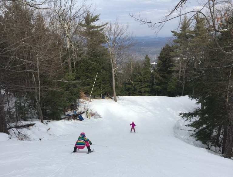
  • How we did it in 2017: We couldn’t always get out on the trail.  School, work, travel, injuries, commitments came up that kept us out of the woods.  But we figured out ways to work through.  Daughter played basketball, and dad focused on weight room exercises (lunges, box jumps, squats) that strengthened legs for the terrain of the 100 Mile.  We skied.  On a couple weekends we couldn’t hike, or were out of town somewhere, we signed up for several 5K road races – try Running In The USA.  The way to get better at doing hard things is to do hard things.  Just do something.
  • How you can do it in 2018: Shorter hikes can be very rewarding when time is not on your side.  Try a big-payoff one like Burnt Meadow Mountain or Pleasant Mountain, steep hikes with great views.  Try trail running, which is just hiking’s skinnier cousin.  There are trail running groups throughout Maine.  Baxter Outdoors does a great race series, which might take you to some places you haven’t been, help you meet some like-minded people, benefit charity, and get some free beer.  Here are some tips to get ready for hiking with a pack from Backpacker Magazine.  Understand your limits, particularly with an injury, but focus on the things that you can do.  For example, dad broke his right wrist descending Katahdin in September 2017, and this precluded a lot of activities, but still allowed him to hike, and as a result he developed more dexterity in his left hand.  A caveat: all these things help, but hiking with a pack seems to be a singular exercise, and the best way to get better at hiking is to hike (see above regarding hard things).

IMG_3943

Step 5: Let the momentum propel you to staying on the path.

How we did it in 2017: Despite our difficulties at the end of the 100 Mile attempt, we were both invigorated by the hiking we’d done, and talked about more goals.  Daughter had never climbed Mt. Washington or Katahdin, and felt strong after our training.  It was only mid-July, so the good times we’d had kept us hiking, and we completed both of these mountains, as well as some great hikes in between.  We started taking more pictures, and talked about capturing our adventures in this blog, which we began last fall, right after our Katahdin hike.

How you can do it in 2018: Use the aforementioned accountability to keep you going, locked in to activities, and check in with people who are doing the same.  You will feel stronger each time you get out there, and maybe your goals will change by the time you hit your big hike.  You will see intriguing side trails and places along the way.  If you are into social media, use it to catalog your progress.  You won’t find any “look at me shirtless doing yoga on top of a mountain” selfies on this blog, but if that’s your thing, and helps you…  Either way you will have fun and get outside.

(Disclaimer: This post contains affiliate links, and as an Amazon Associate Hiking in Maine blog earns from qualifying purchases.)

Mount Washington

On July 23, 2017 we hiked Mt. Washington (6,288 feet) from the AMC Pinkham Notch Visitor Center via the Tuckerman Ravine Trail and the Lion Head Trail (4.3 miles).  The best road map for this strenuous hike is the AMC White Mountain Guide, which contains maps and trail descriptions.  The Pinkham Notch Visitor Center also sells maps for a nominal fee, has free advice and info, and a scale model of the mountain and its trails.

Having attempted the 100 Mile Wilderness two weeks earlier, we now set our sights on Katahdin later in the summer, and focused on getting in some climbing to prepare for this capstone hike.  We packed light, though, and focused on water and snacks.  Dad carried a pack with clothing and essentials, and daughter used a small Camelbak pack that held a water bladder and not much else.

Knowing that the parking lot and the trail would be busy on a Sunday in the summer, we got an early start, signing the trail log and beginning our hike before 7 am.  Still, we were not the first ones to hike the mountain that day, because a scary fit guy wearing no gear came running hard down the trail, having already been to the top.

Crystal Cascade
Crystal Cascade.

About 0.3 miles up, we stopped to take a picture of Crystal Cascade.  The next two miles were a steady climb upward on a wide, rocky trail. We shed some layers as the sun rose higher in the sky, then took the right-hand turn onto the Lion Head Trail.

Lion Head Trail on Mount Washington
Lion Head Trail on Mount Washington.

The trail became a lot steeper as we approached the edge of the tree line.  We took a break shortly after clearing the tree line to apply sunscreen and eat some peanut butter M&Ms, a favorite of ours.  Hiking a mountain with such light packs seemed easy, after our 100 Mile ordeal.

Tuckerman Ravine
Tuckerman Ravine.

The open climb and bright summer morning gave us excellent views of Tuckerman Ravine below.  We also paused several times to admire the foliage in an area close to the Alpine Garden Trail.

Mount Washington

There is so much more to see, and this is a great video describing some of the varieties of plants and flowers in the Alpine Garden.

The final climb to the summit, .4 miles, which seemed to go straight up, with no end in sight, ended abruptly at the parking lot near the summit.  This has always seemed a strange juxtaposition, to be immersed in nature, then to have so much commerce at the top of New England’s highest peak, but we also enjoyed the opportunity to buy a chili dog and slices of pizza in the snack bar.  For round-trip hikers, there are restrooms, as well, and water points to refill for the descent.

We made the decision to purchase tickets for the van shuttle back down to the Pinkham Notch Visitor’s Center, rather than hiking the descent, as daughter was fighting a headache, and we had done the fun part of the climb already.  The price was reasonable ($31 for dad, $13 for daughter), and included a pass to the Mt. Washington weather museum, which we visited while waiting for our scheduled van.  The moral of the stories contained in the museum seemed to be: be careful on Mt. Washington in the winter.  Daughter purchased a plush moose she instantly named Tuckerman, and a clever cat-themed t-shirt (“The Meow-ntains are calling, and I must go”).

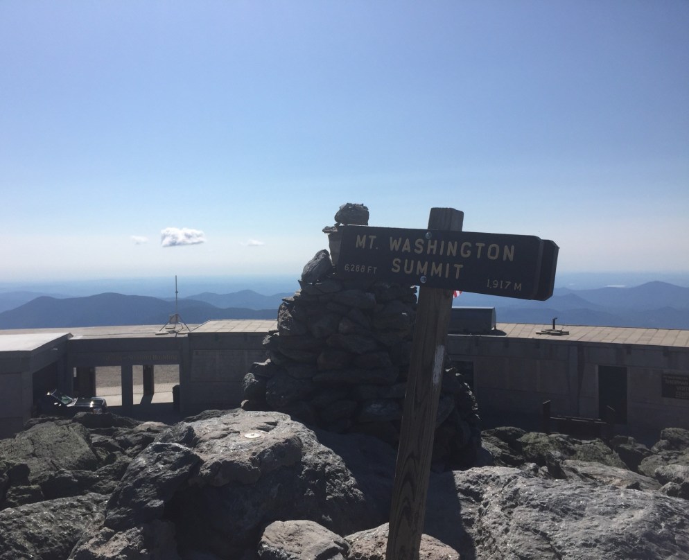
Mt. Washington Summit.

You can see how volatile the weather can be from the featured image at the top of this post – immediately above is a photo from dad’s summit in June 2016, with better visibility.  Dad usually climbs Mt. Washington once per summer, via the Tuckerman Ravine or Lion Head routes.

After a short jaunt down the auto road in the van, and back to our car at Pinkham Notch, we drove the 15 minutes south to Jackson, NH, where we cooled off in Jackson Falls and picked blueberries by the side of the river to end the day.

Book Review: On Trails: An Exploration, by Robert Moor

IMG_4590

The combination of a March Nor’easter and a good book given to me by a friend convinced me that winter was a good time to add a Book Review section to the Hiking In Maine blog.  On Trails: An Exploration by Robert Moor (Simon and Schuster, 2016) is a perfect first entry in that section, as the book blends a description of the practical realities of hiking with the deeper and more existential reasons for these exertions.

The book opens with a prologue containing Moor’s description of his 2009 thru-hike of the Appalachian Trail (trail name: Spaceman), and how he came to be there.  It also quickly reaches the questions raised by this journey:

As hundreds – and then thousands – of miles of trails passed beneath my eyes, I began to ponder the meaning of this endless scrawl.  Who created it?  Why does it exist?  Why, moreover does any trail?

And so, Moor dives deep, not just into his own Appalachian Trail experience, but into the history of the Appalachian Trail, and the origin of all trails, those created by humans and others: pre-historic organism, slugs, ants, caterpillars, elephants.  In-depth scientific and psychological explorations are punctuated by colorful, whimsical vignettes from Moor’s life, including an amusing stint as a shepherd assisting a Navajo couple in Arizona.

These stories help to anchor the larger themes of the book, including the complicated relationships between man and wilderness, and the American rediscovery of this concept.  In describing the forests of New England, Moor says, “Walking through them- wolf trees, walls, and all – one starts to realize that the only thing more beautiful than an ancient wilderness is a new one.”  Moor skillfully interweaves insights like this one with his section hike of the Appalachian Trail in New Hampshire alongside Gilliam Jackson, a Cherokee man, and the other hikers along the way.

A trip to the Atlas Mountains in Morocco to scout routes for the International Appalachian Trail (IAT) ends the main section of the book, and again, Moor blends explorations of the concept of the trail with humorous and poignant anecdotes of his interactions with the people involved, from planners in Maine and Iceland, to guides, to a prickly Moroccan dog owner.

Moor brings the book to a close with a superb epilogue, in which he connects the trails he has described with the paths taken in life, illustrated by the parallel lives of Han-shan, an ancient Chinese poet, and M.J. Eberhart, AKA Nimblewill Nomad, a legendary modern hiker who has given away most of his possessions, and makes observations on why we hike:

One of the chief pleasures of the trail is that it is a rigidly bounded experience.  Every morning, the hiker’s options are reduced to two: walk or quit.  Once that decision is made, all the others (when to eat, where to sleep) begin to fall into place.  For children of the Land of Opportunity – beset on all sides by what the psychologist Barry Schwartz has called “the paradox of choice” – the newfound freedom from choices comes as an enormous relief.

Moor’s book has the character of a journal entry that expanded and took on a life of its own, supported by anecdotes, science, and literature.  In the hands of a less capable writer, this concept could sprawl endlessly and without direction, but here it flows brilliantly.  Moor’s book is truly a meditative exploration, as the sub-title indicates, and its composition is as excellent as Moor’s insightful prose.  Where he could create trite axioms or smug conclusions, Moor acts instead as a skilled guide, allowing the journey to create a deep question, and leaving the final destination to the reader.

(Disclaimer: This post contains affiliate links, and as an Amazon Associate Hiking in Maine blog earns from qualifying purchases.)

Old Speck Mountain

017c2f38afc15ca2a5b43ca0e084744d0701fb3d22

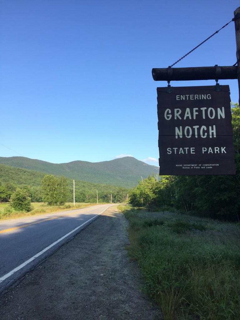
On July 16, 2017, dad did a solo hike (daughter had a planned visit to Aquaboggan) of Old Speck Mountain (4,270 ft), a fairly strenuous 7.6 miles, the fourth-highest peak in Maine, located inside Grafton Notch State Park, via the Old Speck Trail and Mahoosuc Trail, with guidance from the AMC Maine Mountain Guide and the Maine State Parks and Public Lands site, which has a map here.

Parking was available at the trailhead off ME 26, and the self-service payment was a $3 fee for Maine residents.  This was dad’s first hike after the 100 Mile attempt ended the previous weekend, and he got an early start.

015a5e99fad615d77358906f47151d9e2a6b656134

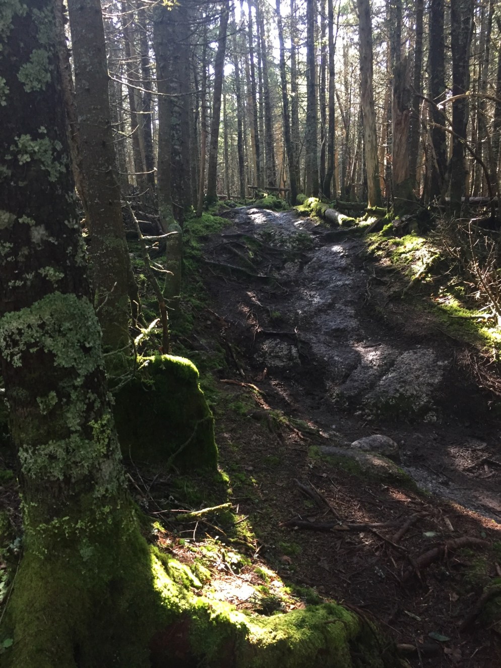
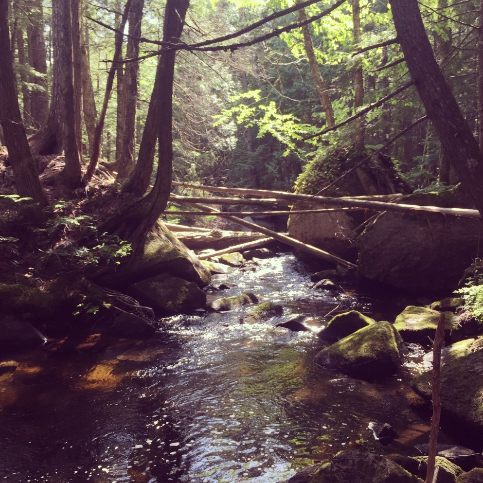
The falling water off Cascade Brook was running beside the trail, which is part of the AT, and the morning sun made for great light variations along the path.  Very few hikers were around, due to the hour.

01d1effb9e33eb0b6b1f98dad30b3ec26f78bbd386

0178008c296c0ba8768eb559ca9daac491484a36f9

Dad surprised a big snowshoe hare, still in its summer brown, with white feet, partway up the mountain in a clearing, and it galloped off before he could take a picture.

0154b21dc61c6daa61aac588ba6c2e91a54f12c52a

At the summit was an observation tower, which, when climbed, provides panoramic views of the surrounding mountains.

The descent was fast, despite some lingering knee and hip pain from the 100 Mile, and dad took a chilly dip in the shallow waters upstream of Screw Auger Falls to cool off.  Like the Chocorua climb and Lower Falls Recreation Site, it is a great summer combo, covered by the same use fee.  Nearby are Mother Walker Falls, Moose Cave, and the Spruce Meadow Picnic Area.

(Disclaimer: This post contains affiliate links, and as an Amazon Associate Hiking in Maine blog earns from qualifying purchases.)

Hiking In Maine Updates

013cbe399381949f21a3c930598aaf3c9a578ec9ab

Good morning.  Enjoying snowfall and making some improvements to the Hiking In Maine blog.

Check out our Interactive Map, which will include our hikes in Google Maps as we add them, and assist in planning your own hikes, based on location.  This is a work in progress, so feedback is welcome.

We are now also on Twitter as @HikingMaineBlog, so please follow us to get updates on new content and info from other places about hiking in Maine (as we figure out what a “twitter” is). We are now on Facebook, as well.

And our 100 Mile Wilderness section is now complete with 2017 info, and consolidated on one page for your convenience.  Much more to follow with our after-action thoughts, packing lists, and plans for completion.  We are very excited for the 2018 hiking season.

Mount Chocorua

016826b763b9bb48dd29303074186723d61976eb0b

Dad did Chocorua solo on August 30 and then came back with daughter on September 2, 2017 to do it again.  This hike was suggested by friends, and planned using the AMC White Mountain Guide, making it part of the “and beyond” part of our stated “Pine Tree state and beyond” header, as the mountain is in Albany, NH.

There are several loops up and down this beautiful mountain, and dad took the Piper, Nickerson Ledge, Carter Ledge, Middle Sister, and Piper Trails up, then descended via the Liberty, Hammond, Weetamoo, and Piper Trails (9.6 mi).  This trailhead is accessed from NH 16.  Dad and daughter ascended on September 2 via the less challenging but equally scenic Champney Falls and Piper Trails (7.6 mi), accessed from the Kancamagus Highway.  Both parking lots can be crowded in the summer, so we got an early start.  From either starting point, there is a small cash use fee to the White Mountain National Forest, payable with cash at a kiosk (and bring a pen).

0196c946aa227721ea76908cd2062924657a6c5887

The trail climbs steadily up past Champney Falls and Pitcher Falls, which were not running with much force at this time of summer, but still worthwhile to see.

01d185b04bb975e012f57f3798eacff99578ad84ef

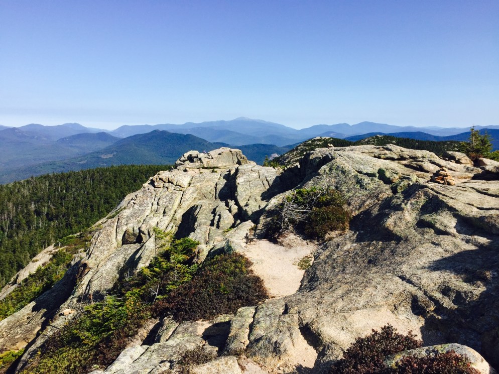
After the intersection with the Piper Trail, the vistas opened up, and we had fun making our way up to the windy summit in the morning sunlight.

010c2f3d1e431b67e46eacae0827cffcb06969aa1b

The last scramble to the top involved some steeper climbing, which we enjoyed.  We didn’t spend much time at the summit, as the wind was powerful.  After the climb up, our descent was pleasant and uneventful.  We did notice that the volume of hikers headed uphill increased dramatically as the day wore on, and felt good about getting an early start.  Many people brought their dogs, and this seemed like a good hike with a pet, as long as they were careful near the top.

We enjoyed a great post-hike pizza at Brothers Original Pizza in Albany, NH, which has an outdoor deck, if you are so inclined.  The air was chilly on this trip, but if you take the Champney Falls route, a short distance down the Kancamagus Highway is the Lower Falls Recreation Site, where you can cool off in the Swift River after the hike.

(Disclaimer: This post contains affiliate links, and as an Amazon Associate Hiking in Maine blog earns from qualifying purchases.)

100 Mile Wilderness, Day 8 (Nahmakanta Stream to Lake Nahmakanta)

01b6c6063731903069957b8de97906eafe1b7a9202

[Note: this is the eighth part of a series on the summer 2017 attempt at the 100 Mile Wilderness by dad, 40, and daughter, 11]

July 7, 2017 turned out to be our last day, and our shortest mileage: 3.2 miles.  We woke up and had a hot, buggy morning hike with very few good landmarks and a few stops to discuss existential issues, and upon arrival at the south end of Nahmakanta Lake, we decided we were done with our 100 Mile Wilderness hike, after about 74 miles.
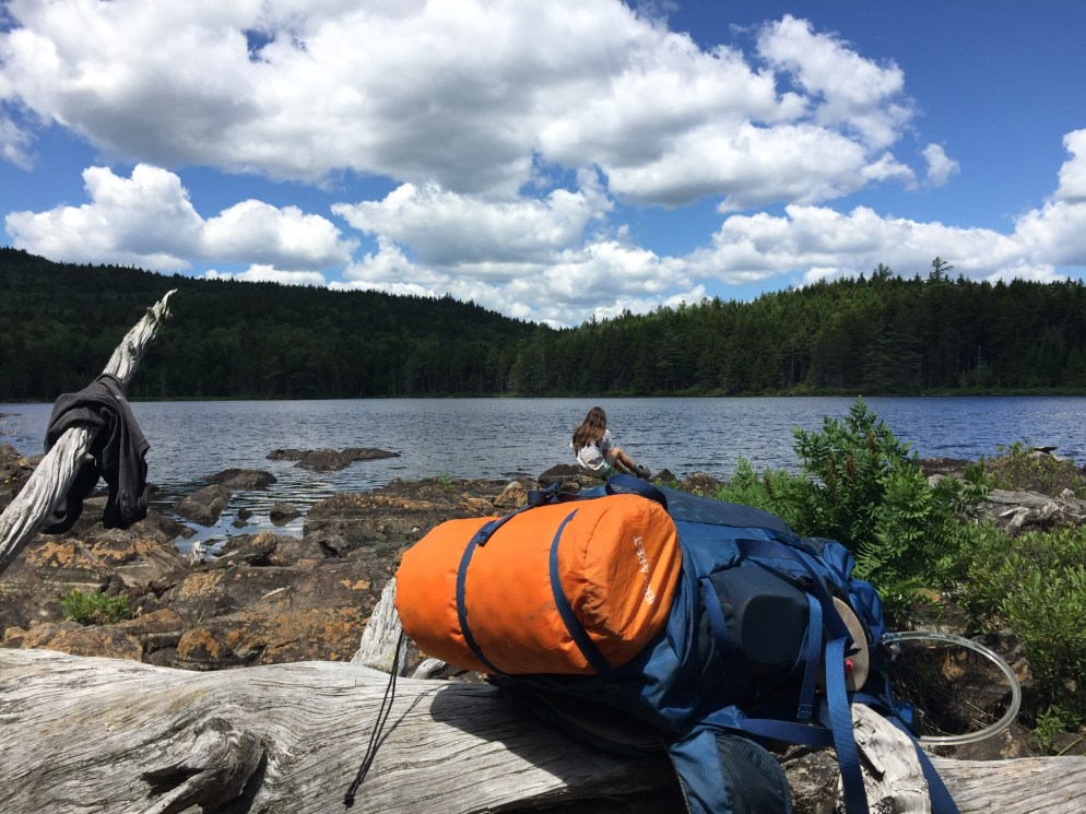
Far too many bugs, our feet were not in great condition, and we both agreed that we only wanted to keep going as long as we were having fun.  The lake was beautiful, and we agreed that we could stay there for a day or three if needed, until mom or grandfather picked us up.  Very few bugs, cool water for swimming, loons, sun, and a perfect tent site.
01fa8ae2507c6d8b6232945df783c085e80db3e072
Can you find the toad in this picture?
We spent most of the day swimming, bathing, fishing, snacking, catching/watching frogs and toads, listening to music, looking at flowers and birds, reading A Walk in The Woods aloud, and looking at clouds.
019e58d45ddd58af25bdd2ca20e7ecd0beaa861d67
01b1ac8c0a088858438a7bb887e519c6871772300b
Thankfully, we were able to get a bar or two of service there, and text mom at 9:10 AM – dad’s backup plan had been to leave his pack and climb nearby Mt. Nestabunt to get cell service.  Mom and grandfather arrived a little before 5 PM, and had their own adventure getting there, some of which we will never know.  Thankfully, they brought the truck, so we could stow all our smelly 100 Mile gear in the back.
We discussed what we wanted to eat while waiting, and daughter craved pizza and cheesecake, while dad wanted a burger and beer.  We each ended up getting mostly what we wanted at the Pat’s Pizza in Dover-Foxcroft, as well as Butterfield’s Ice Cream down the street.
We will follow-up with our lessons learned on our gear and packing list, and many more hikes.  This 100 Mile Wilderness hike is also unfinished business, and will be continued- after all, we have about 25 miles left to go.
Like this post?  Go all the way through.  Try:

100 Mile Wilderness, Day 7 (site on Cooper Brook to Nahmakanta Stream)

01ebc12afd2ba0980a58c40c49ec4b62d6283e47fa

(Note: this is part seven of a multi-part series on the summer 2017 attempt at the 100 Mile Wilderness by dad, 40, and daughter, 11)

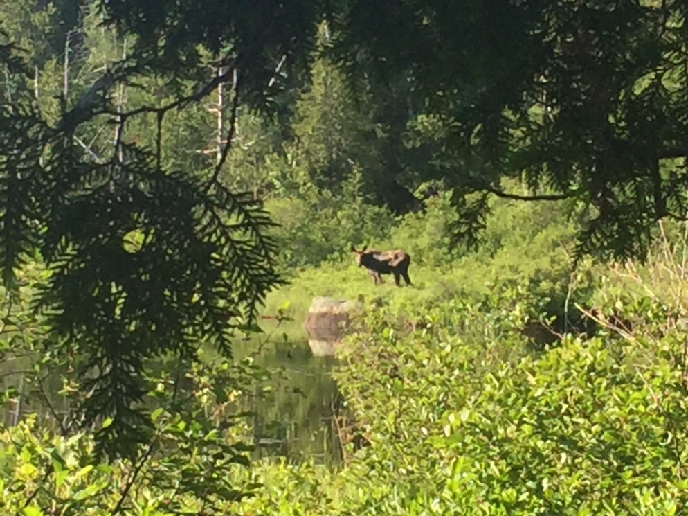
After the previous night’s mosquito armageddon, we woke up to fewer bugs on July 6, but still started cautiously, vaguely shell-shocked, with headnets.  We saw a bull moose across from us at Cooper Pond at 7:30 in the morning, and took a few photos.

018d5396ed789303785ab3a048aa6a0f5a3bd86db6

A southbound hiker we met about fifteen minutes later was ecstatic when we told him about the moose, and he started running to see it.  Many fallen trees, a remnant of the thunderstorms from the other night, diverted us around the trail at the Antlers Campsite, which looked like a spectacular place to camp.  We stopped to swim at the sand beach on Lower Jo-Mary Lake, and cooled off.

016f326f99147280e5265be2d5ff06a5ba42865710

A 15-foot diameter spring next to the Potaywadjo Spring Lean-To was also one of the highlights of our day, and we enjoyed the cold water.  We got our first view of Katahdin through the clouds across Pemadumcook Lake.

0141c70ba383219617f19a00e967cb321f8c3bd99f

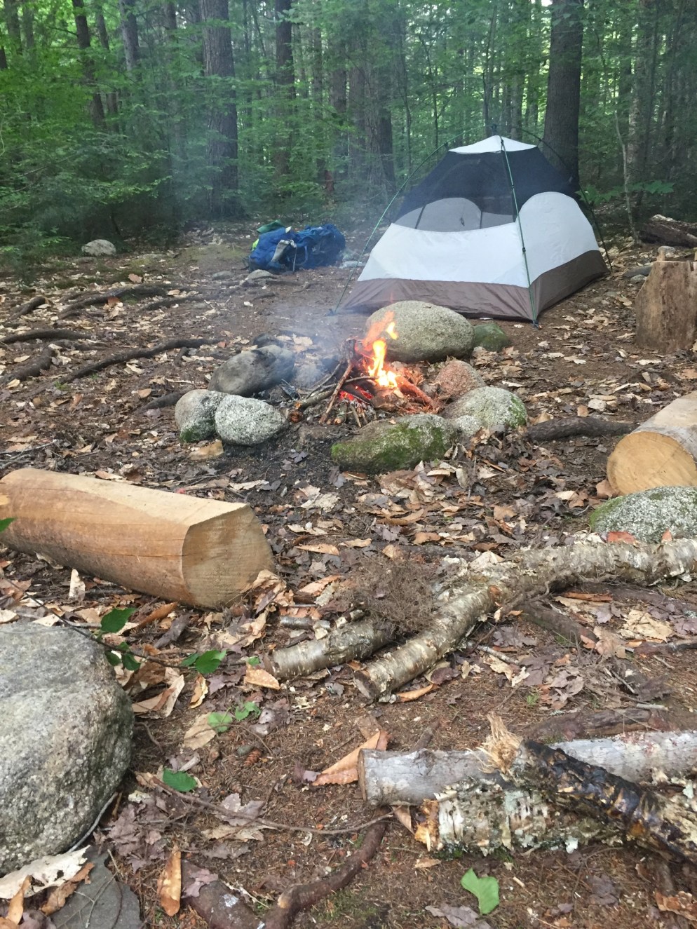
We saw a business card tacked to a tree for a lodge on the river where we could get picked up by boat and eat burgers/pizza, and sleep in a bed.  We were tempted, but after brief consideration, we decided to stay the course.  We spent the night at Nahmakanta Stream Campsite, where the mosquitoes moved in again quickly.  Dad smoked a cigar that Grandfather had given him for the trails’ end, which shooed away the mosquitoes long enough to build a campfire.

018f7213501f0bc99cc3ceb79d9ccef784b041dbbe

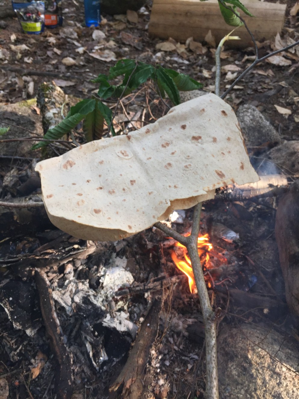
Dad made daughter a grilled cheese for dinner using our mozzarella and flatbread, and a green birch branch to hold it over the fire.

0196127ee9a5e03f7f881d17b2df404a95dd4763c6

It was a nice change of pace from the freeze-dried meals, and we also shared some chili mac later.  12.1 miles today.


Like this post?  Go all the way through.  Try:

100 Mile Wilderness, Day 6 (Logan Brook Lean-To to site on Cooper Brook)

01df1e0a7be2ac53df360898bcd475d90277489006
(Note: this is part six of a multi-part series on the summer 2017 attempt at the 100 Mile Wilderness by dad, 40, and daughter, 11)
 
On Day 6, July 5, 2017, we got a nice early start, and descended White Cap into the flatlands.  Today was our first real day battling mosquitoes, deer flies, and horse flies, and we quickly realized that we should have each brought a can of Deep Woods  Off, instead of sharing one can. Daughter’s stomach issues intensified, and she had a headache for most of the day.  The heat and bugs did not help.
 
As per our usual routine, we planned to stop and take a snack break at the East Branch Lean-To, but when we approached, there were two women sunbathing topless right next to the lean-to.  When daughter asked why we had turned around, dad told her there were “boobies” there, and we continued on to the East Branch of the Pleasant River, with daughter wondering aloud why the women would do that, knowing everyone stopped at those places.
 
0184a0cfc427ace084bff49a1772d5432e6e352f82
 
The river was a perfect place to stop, sunny with cool water flowing, and hundreds of butterflies.  We stopped for lunch a little later at Mountain View Pond, a similarly beautiful spot.
 
0101b4531cafe83b0c9a6e9faf8e05ac49f8bc58ed
 
Due to daughter’s pepperoni boycott, we had done some trading, and dad gave her some of his energy bars in exchange.  On Little Boardman Mountain, we saw two groundhogs, which seemed smaller than the ones we are used to.  One ran across the trail right in front of us, and then the other one just stared at us from a few feet away.   We had a brief verbal battle over daughter’s water consumption, which dad did not think was enough.  This was a hot day, by far the warmest yet.
 
Our day turned for the better when we reached Crawford Pond.  We hiked to a sand beach, and used the opportunity to swim and take our first bath in days.  We took some pictures, and then looked at the beaver construction at the outlet of Crawford Pond, where we pumped and filtered some water before moving on towards the Cooper Brook Falls Lean-To.
 
0107aea353ccd89647a064c01c45d4d5b97161c27f
 
It was here, together, that we made a big tactical error.  It was already late in the day, but neither of us was tired, and we had quickly covered the flat 2.3 mile distance from Crawford to Cooper Brook.  We decided to try and push to either Cooper Pond (5.2 more miles) or the Antlers Campsite (7.9 more miles).  As the bugs had intensified, we put on long sleeve shirts, pants, hats, and mosquito nets, got our headlamps ready, and began.  We were almost instantly swarmed by the most mosquitoes we have ever seen in our lives.  They began biting us through our clothing, and on any exposed flesh- in this case, our hands.  No matter how fast we walked, or how hard we swung our arms, they kept attacking, and we looked for a place to get inside our tent.
 
Shortly before the Jo-Mary Road, about 3.6 miles on, we found a level campsite next to Cooper Brook, and set a speed record for setting up the tent.  Daughter got inside and killed off the mosquitoes who had made it in.  Dad suspended the bear bag, and while he was pulling one end of the line to raise it up, caught a glimpse of his right hand, which was almost black with swarming mosquitoes.
We cooked our meals under the rain cover, and watched the swarms move around between the tent and the rain cover.  Despite our thirst, neither of us wanted to get out of the tent to pump more water, so we shared the last couple ounces in dad’s Nalgene bottle, then went to sleep.  We totaled 15.2 miles today.