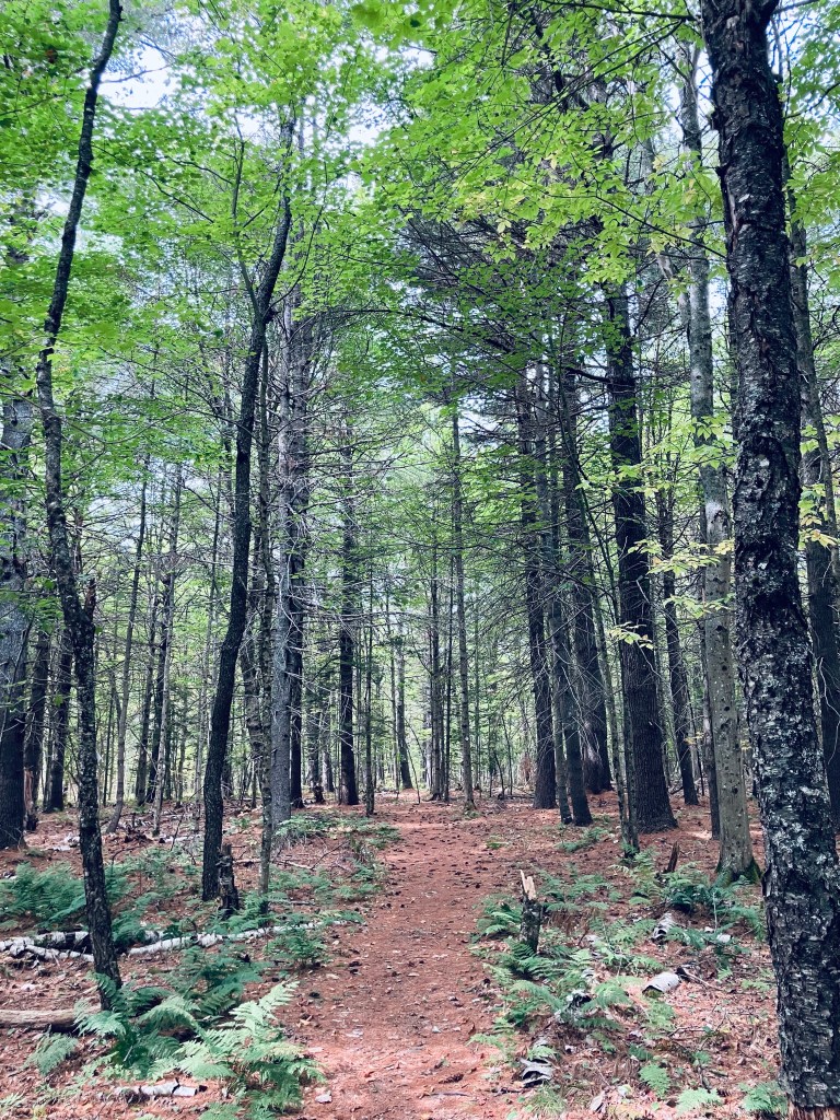
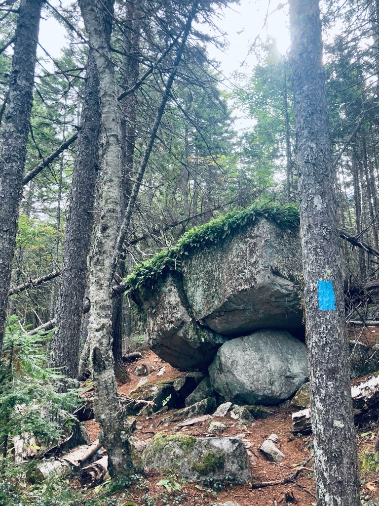
The Central Penjajawoc Preserve, a 182-acre trail network a short distance from downtown Bangor, is owned and maintained by the Bangor Land Trust, which has a helpful map and information on its website. No dogs or bicycles are allowed on the trails. The Preserve can be accessed from a small, signed parking lot on Essex Street, just south of the intersection with Burleigh Road. I hiked a loop in late September using the White Pine, Milkweed, and Penjajawoc Overlook Trails. The trail loop begins from a map kiosk as a narrow downhill path lined with ferns and wildflowers, and marked by diamond-shaped Bangor Land Trust placards on trees.

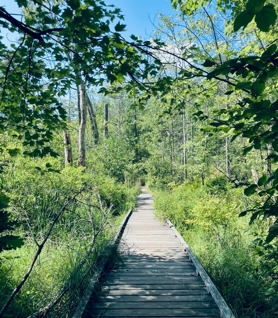
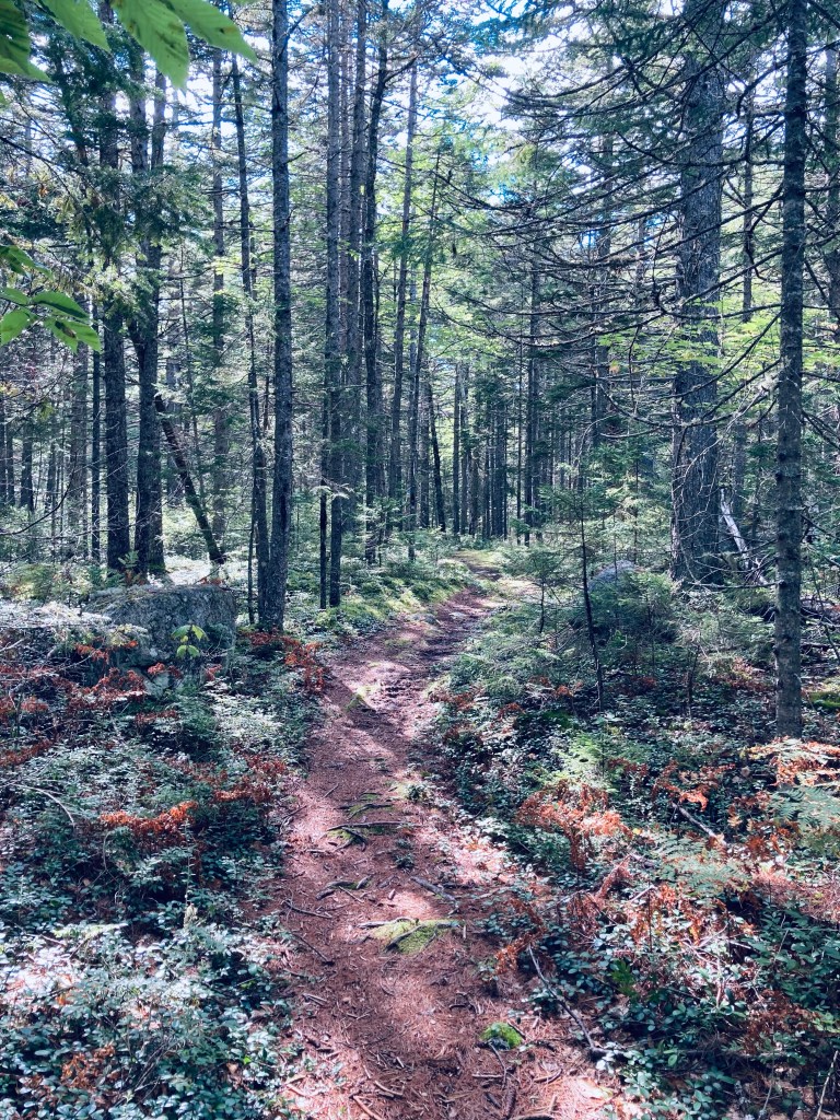
At the first trail junction (about a quarter-mile), I continued left on the White Pine Loop to go clockwise. The White Pine lives up to its namesake, and I enjoyed the sight and scent of the tall straight evergreens. As I moved further along the trail, there were low-lying marshy areas, mostly spanned with plank bridges, but in the early fall, it was dry enough that I had no issues with the mud. At about 2/3 of a mile, I hit the next trail intersection and continued left on the Milkweed Trail for the outer part of the loop.

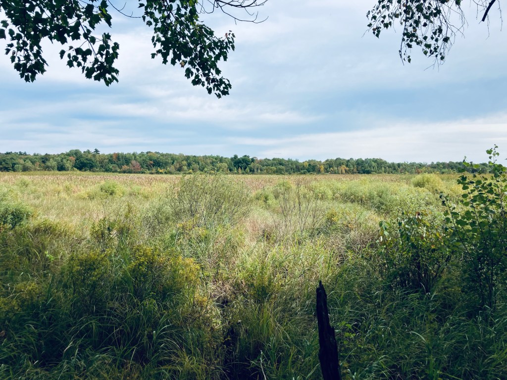
I crossed a small stream lined with wildflowers and an open meadow, with the path now marked by flags. The footing was uneven, but the trail’s overall grade was flat and easy to follow. The trail dipped through a wooded area, back across a small stream, and then into another open meadow, with a similar density and variety of wildflowers. Just prior to the first (northernmost) Marsh Overlook, I encountered a massive tan toad with dark brown spots, who lumbered across the path, and then disappeared into the undergrowth.

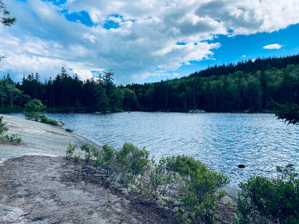
I would describe the Overlook as more of a “through” look, a glimpse beyond the curtain of the trees to a large marsh, but no real elevation to look down from. I continued clockwise along the trail past the wildflowers and milkweed, following the flags, as the path is more of a game path here. Next turn was left, on the Penjajawoc Overlook Trail toward the second Marsh Overlook, which started through a small gap in a stonewall. I walked through another open meadow, this one higher and greener than the prior ones. This spur trail was a lot more overgrown, but still marked by flags and downtrodden vegetation, and fairly easy to follow. The field and its small islands of shrubs were full of chickadees, palm warblers, and eastern phoebe.
I reached the second Marsh Overlook through a small stand of trees, and enjoyed the view, which was much more expansive than the first, hearing ducks in the distance. I paused and realized that I was covered in pollen from the waist down, following the walk through the meadow. The browns, gold, and yellow colors of early fall covered Penjajawoc Marsh and Penjajawoc Stream. On the return loop toward the parking area, I saw a small pile of bear scat on the pine-covered floor of the trail, as well as the signs of a small human encampment. The total loop was about 2.8 miles, taking only about an hour.