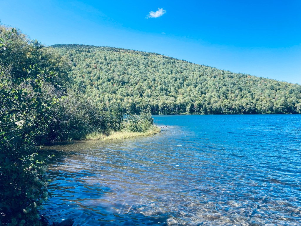
Lower South Branch Pond from Pogy Notch Trail, Baxter State Park, Maine
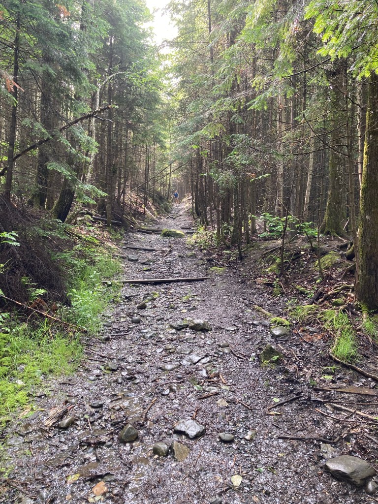
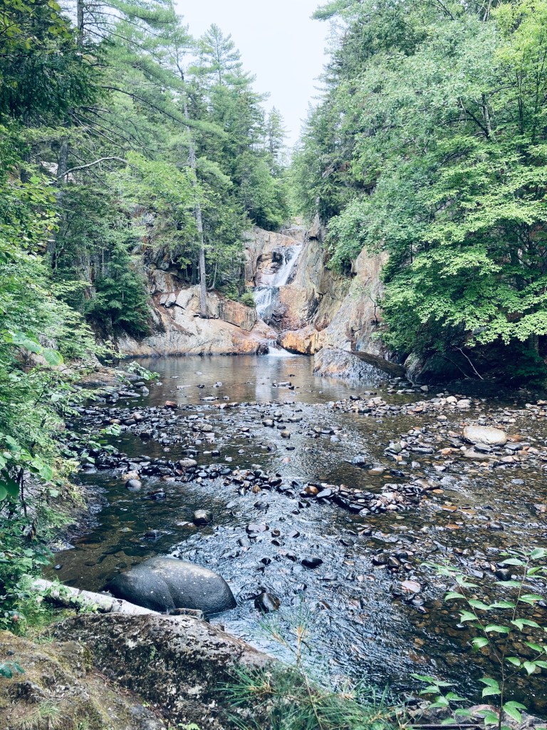
Howe Brook Falls is a spectacular four mile total out-and-back waterfall hike from South Branch Pond Campground in the northern half of Baxter State Park. I tacked this hike on to a South Branch Pond Loop hike, which is covered separately in another post, but the Howe Brook hike itself can be done in about three hours or less. A detailed description and map of this hike is found in the books Hiking Maine’s Baxter State Park and Hiking Waterfalls Maine, and a Baxter State Park downloadable map of South Branch Pond is available on BSP’s website.
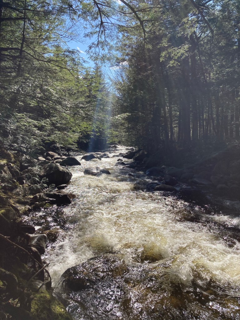
Sawtelle Falls, on Sawtelle Brook in unnamed township T6R7 WELS, northern Penobscot County, is at the end of an out-and-back trail departing from Scraggly Lake Road, a narrow woods road off the north side of Grand Lake Road. Remember: WELS just means “West of the Easterly Line of the State,” the straight north-south line of the U.S.-Canadian border in northern Maine that extends from Hamlin to Amity, and is a reference for unorganized territory. The trailhead, east of Baxter State Park’s north gate, is a short drive from both Shin Falls and the Seboeis River Trails, and the three waterfall hikes can easily be completed in an afternoon. Following the falls, Sawtelle Brook flows south to meet with the Seboeis River, which is then joined by Shin Brook as it flows further south.
The bulk of Sugarloaf Mountain rises above the dirt Shin Brook Falls Road (marked with a handwritten wooden sign), a left turn from the Patten area off Grand Lake Road just before the Seboeis River. Parking is available in an open area at the first hard right turn (1/3 mile) in the road, with the trail marked in the same way. These handwritten “Trail” or “To Falls” boards are the signage on this 3/4 mile total hike near Shin Pond Village (actual location is T6R7 WELS), and were vaguely reminiscent of internet memes with a sign scrawled “Candy” next to an abandoned building. A map and full description (along with many other Maine waterfall hikes) are found in the book Hiking Waterfalls Maine.
Entry to Fish River Falls Trail at the end of the runway, Fort Kent Municipal Airport
The Fish River, popular with fishermen and boaters, completes its run north to the St. John River in Fort Kent in a line roughly parallel to Route 11 in Aroostook County, Maine. This portion of the road, beginning at Portage Lake to the south, is the Fish River Scenic Byway. According to a link on the site of the Northern Door Inn, a quiet, clean hotel where we spent a couple nights, locals bring inner tubes to the base of Fish River Falls to float down the approximately four miles to Fort Kent. But even if you don’t have the time or equipment to navigate this stretch, the hike to Fish River Falls is an easy twenty to forty minute round trip with great views.
Afternoon sunlight on Wight Brook, Step Falls Preserve, Newry, Maine
Step Falls Preserve is a twenty-four acre parcel hugging the banks of Wight Brook in Newry, Maine. We visited at the beginning of May, during a road trip to see waterfalls during the spring melt. In the summer months, the shallow pools and falls are refreshing places to cool off with a dip, wade, or swim. Parking is available in a lot off Bear River Road/Route 26. The 3/4 mile trail to the top of the falls is fairly easy, with some roots and steep spots towards the end. Due to the popularity of this spot, it often fills up quickly on weekends and nice summer days.
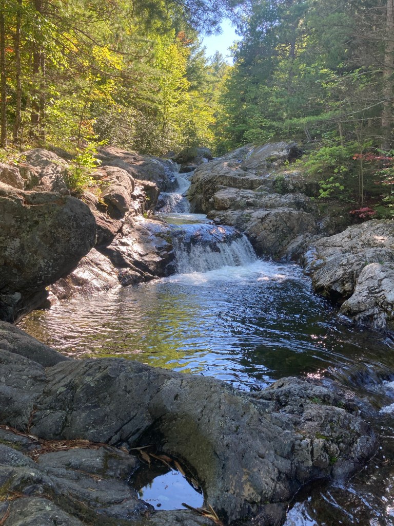
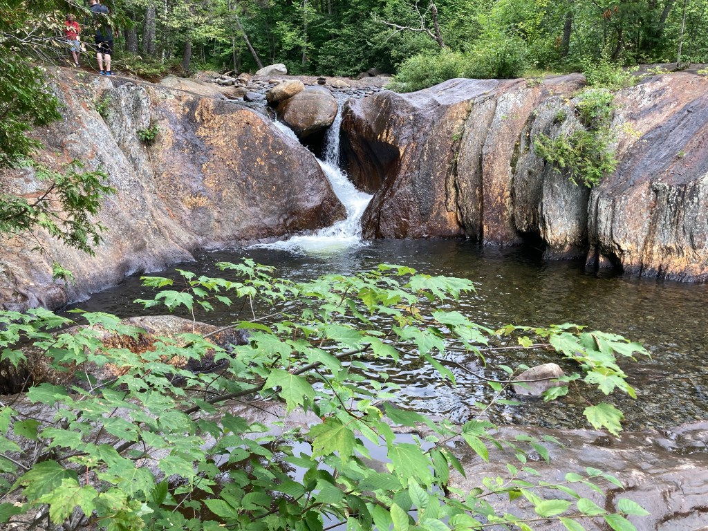
South Branch Falls is a short (about one mile out/back, less than an hour) waterfall hike, close to Baxter State Park’s South Branch Campground, in the northern part of the park, accessible from the Matagamon Gate. This family-friendly hike explores a fast-running section of the South Branch Ponds Brook. Full description, map and photos can be found in Falcon Guides’ Hiking Maine’s Baxter State Park.
Smalls Falls is a part waterfall hike, part scenic rest area, located along Route 4 in Franklin County, Maine. Plenty of parking, charcoal grills, toilet facilities, and picnic tables along the river make this an ideal place to stop for a picnic lunch, walk around, and even get in the falls and pools to cool off in the Rangeley area.
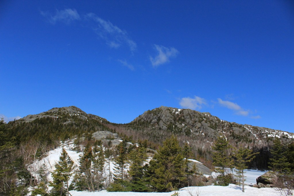
View of Tumbledown peaks from Tumbledown Pond, Weld, ME
Tumbledown Mountain (3,068 ft) in Weld, Maine, is a beloved hike to many Mainers, due to its accessibility and the unique nature of Tumbledown Pond near the summit (this pond is a geological feature called a “tarn”). Normally, taking a break to swim or fly fish at the top of a mountain is just a daydream. We first hiked this in April 2017 during our 100-Mile Wilderness training, and again more recently in May 2020, so neither of these warm weather activities were available at elevation.
Ascending the Loop Trail on Tumbledown Mountain, Weld, ME.Continue reading →
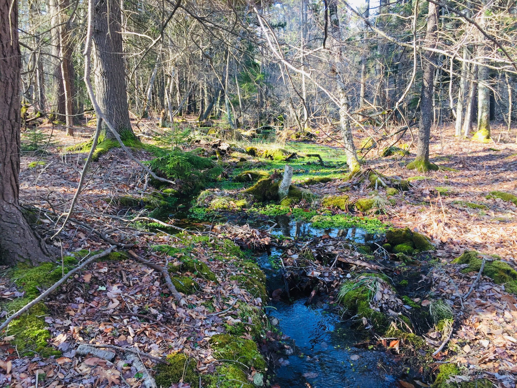
Seam of green moss surrounding stream, Basin Preserve, Phippsburg, METhe Sprague Pond Loop Trail through the Basin Preserve in Phippsburg, ME, is a quiet hike through diverse coastal woodland. The Basin Preserve consists of over 1800 acres in Phippsburg, Maine, from land donated anonymously to The Nature Conservancy (TNC) in 2006, and adjoins the Sprague Pond Preserve, maintained by the Phippsburg Land Trust. Trail maps of this rolling hike, featuring ridges, mixed hardwood, coastal pitch pine woodland, shrub marsh, and a 10-acre spring-fed pond, are available for download on the TNC website.Ridge covered in sunlight and blueberry plants, Basin Preserve, Phippsburg, MEOn a warm spring day, we took the Loop Trail, from the Burnt Ledge Loop trailhead on Basin Road and a portion of the Meditation Trail along Sprague Pond for a 5.8 mile loop (appx 2.5 hrs). Basin Road is closed for winter maintenance until April 15th, and trails (open sunrise to sunset) can also be accessed from the Sprague Pond Preserve trailhead on Route 209.Spring runoff in wooded stream, Basin Preserve, Phippsburg, METake time at the Basin Road trailhead to read the sign next to the fenced-in area opposite the trail, where TNC and the Maine Chapter of the American Chestnut Foundation maintain a seed orchard, where they are attempting to a produce a blight-resistant chestnut adapted to Maine’s climate. The Sprague Pond Loop Trail is a lollipop loop that divides at Burnt Ledge, and we chose the counter-clockwise loop, heading first down the western side of the trail.Rocky terrain and mixed vegetation, Basin Preserve, Phippsburg, METhis well-marked path, covered in pine needles, winds up and down small ridges, which are covered in blueberry plants. Despite the recent rains and swollen streams due to snow melt, the trails were dry and well-maintained. A few fallen trees made for brief scrambles/detours, but this was the exception, rather than the rule.Canada geese, south end of Sprague Pond, Phippsburg, MEWe saw and heard songbirds and squirrels throughout the hike, but the animal life peaked at Sprague Pond, where we saw mallard ducks, a great blue heron, Canada geese, a circling bird of prey (unidentified), and a garter snake enjoying the sunny Meditation Trail. Shortly after the pond, a beaver dam and lodge were visible, and a spring torrent fed a rocky waterfall next to the trail.Waterfall near Sprague Pond, Phippsburg, MEAfter the waterfall, the eastern side of the loop was primarily a mixed hardwood forest, open and light-filled, with desiccated beech leaves rattling in the wind, chattering squirrels and silent birches awaiting spring. This serene coastal woodland preserve offers a nearly six mile uninterrupted walk through pines, moss, blueberries, and birdsong.
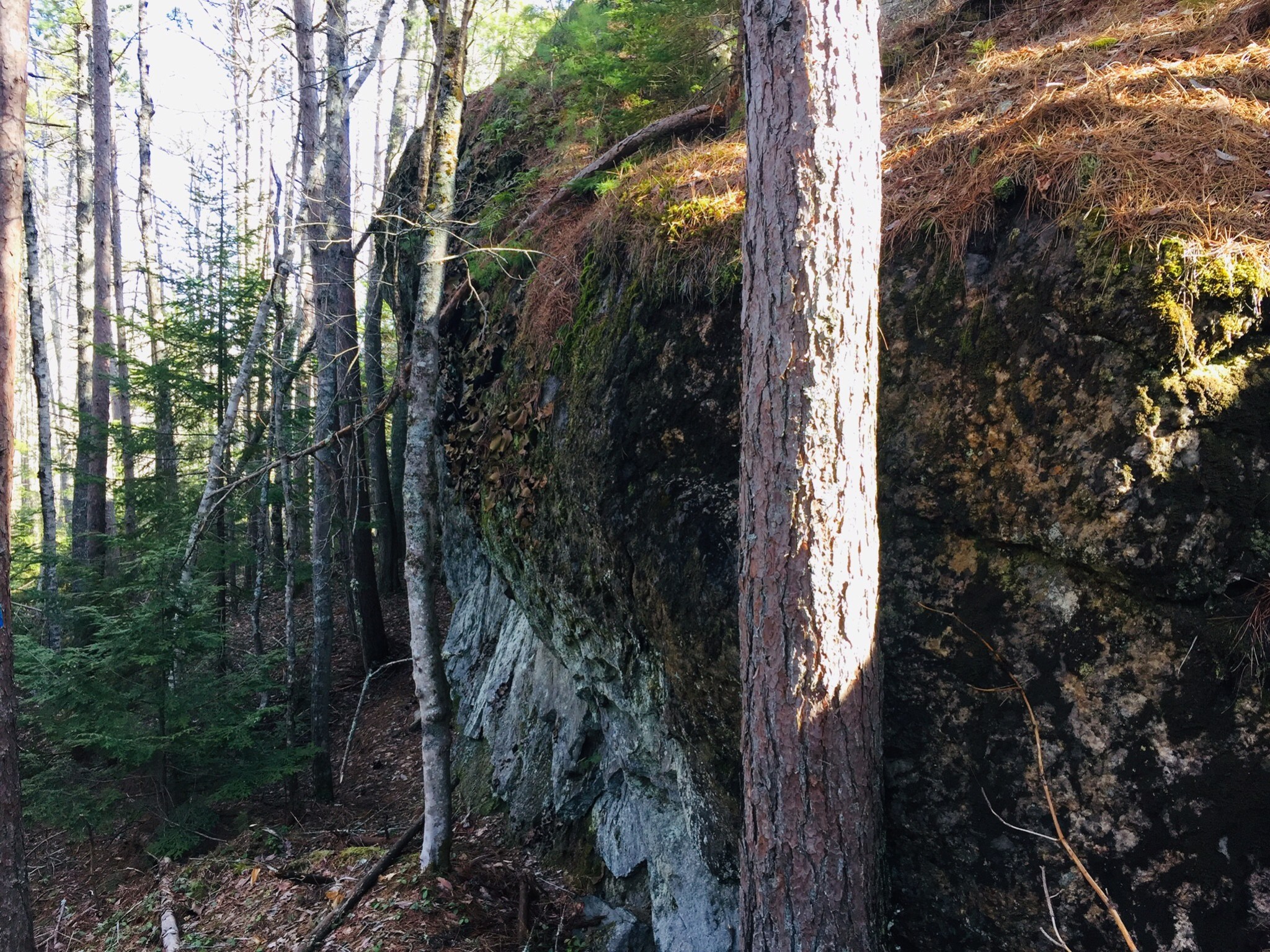
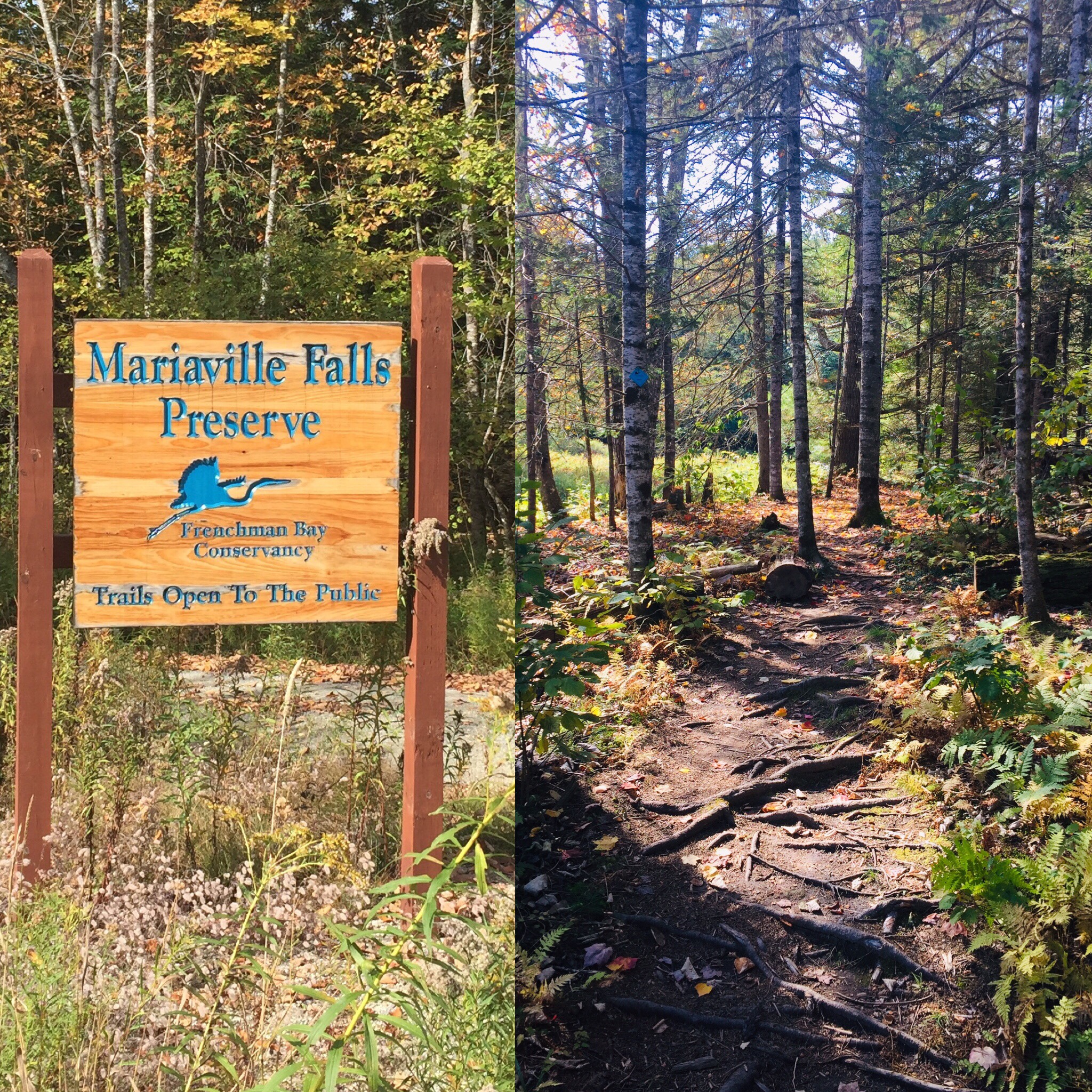
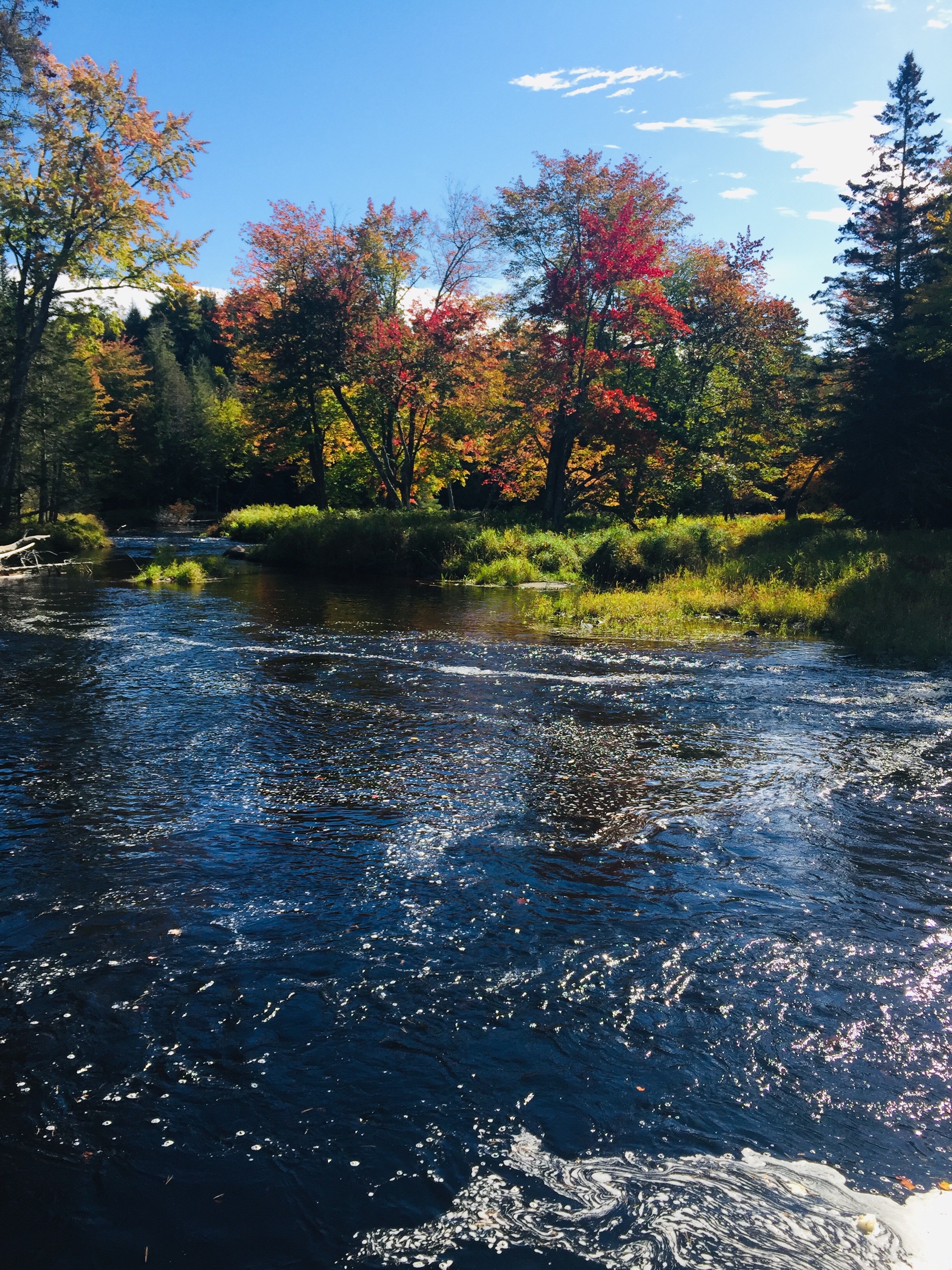
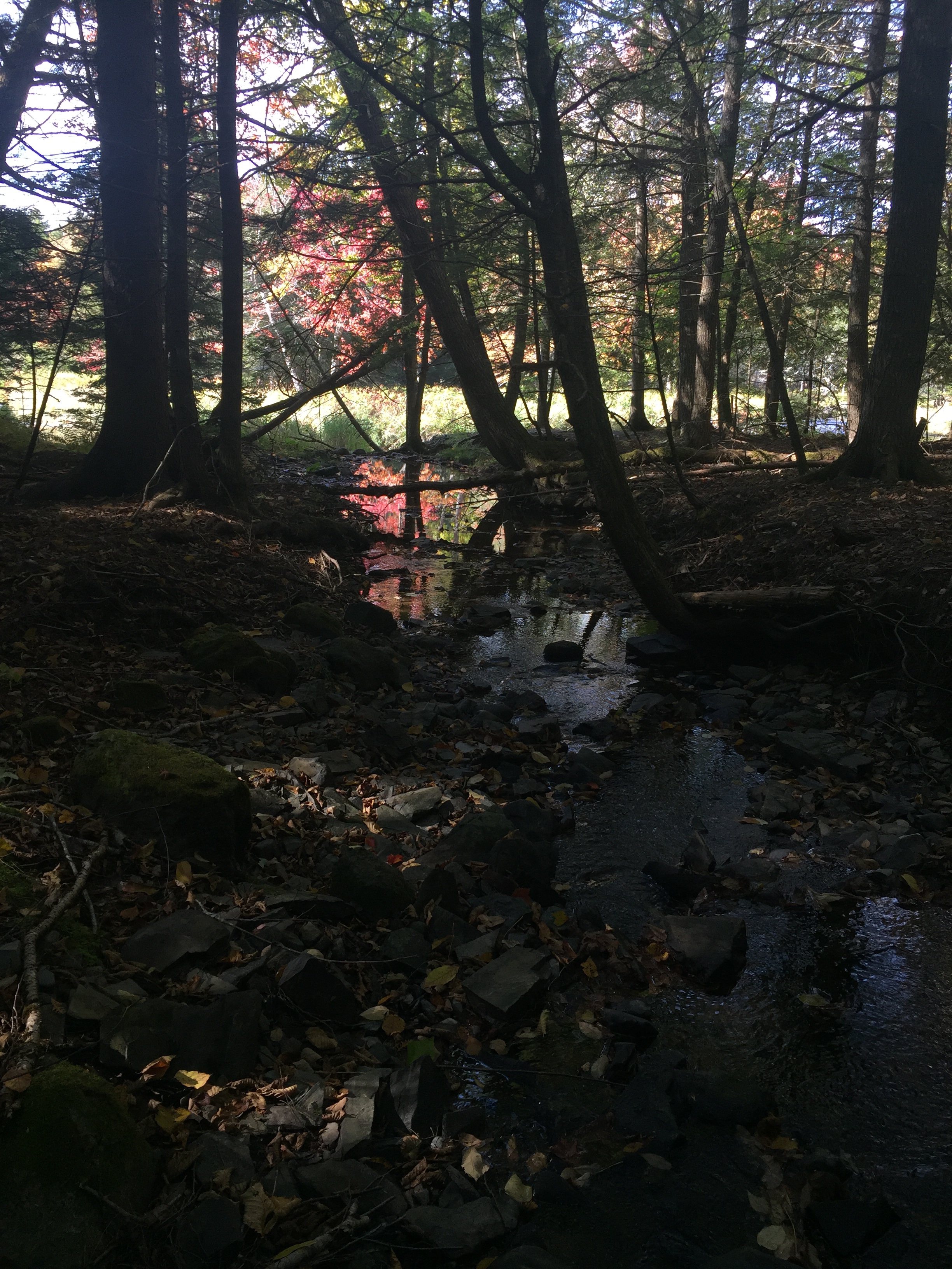
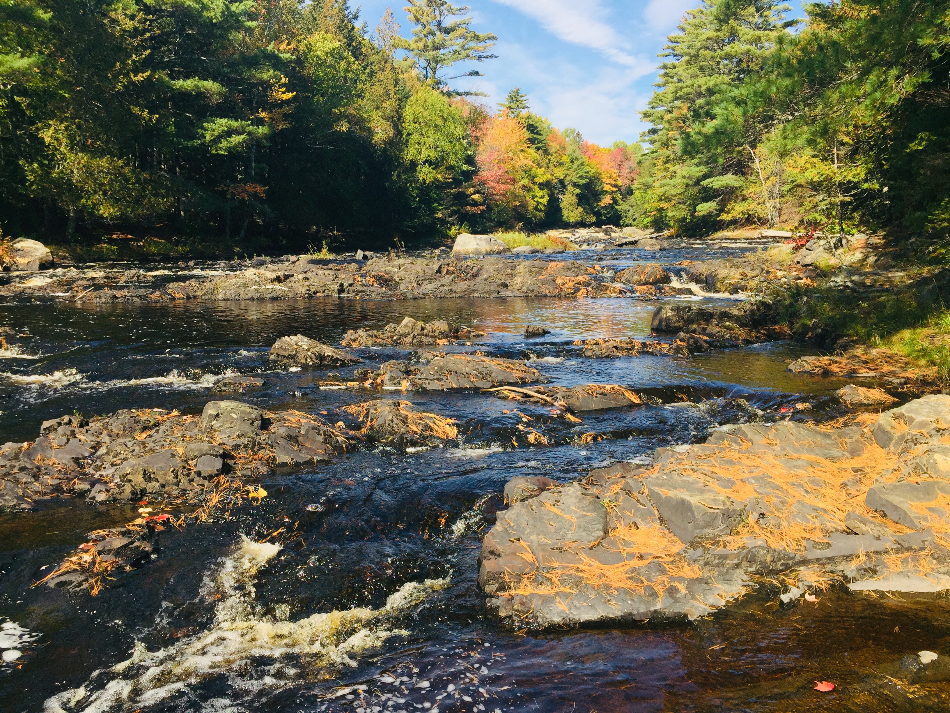
Mariaville Falls Preserve in Mariaville, Maine, is a conservation area along the banks of the West Branch of the Union River in Hancock County, owned and managed by the Frenchman Bay Conservancy, which has a trail map on its website. This woods and waters gem, the former site of a small village, lies off 181 between Amherst and Ellsworth (look for the wooden sign on the west side of 181).
Mariaville Falls Preserve, ME
We were fortunate enough to visit on a sunny day during the peak of autumn foliage. The trails are short, and the Fisherman’s Trail (.85 mi) follows the river, with the New Trail (.48 mi) looping further east from the first parking area (look for the kiosk), and joining the Fisherman’s Trail near the falls.
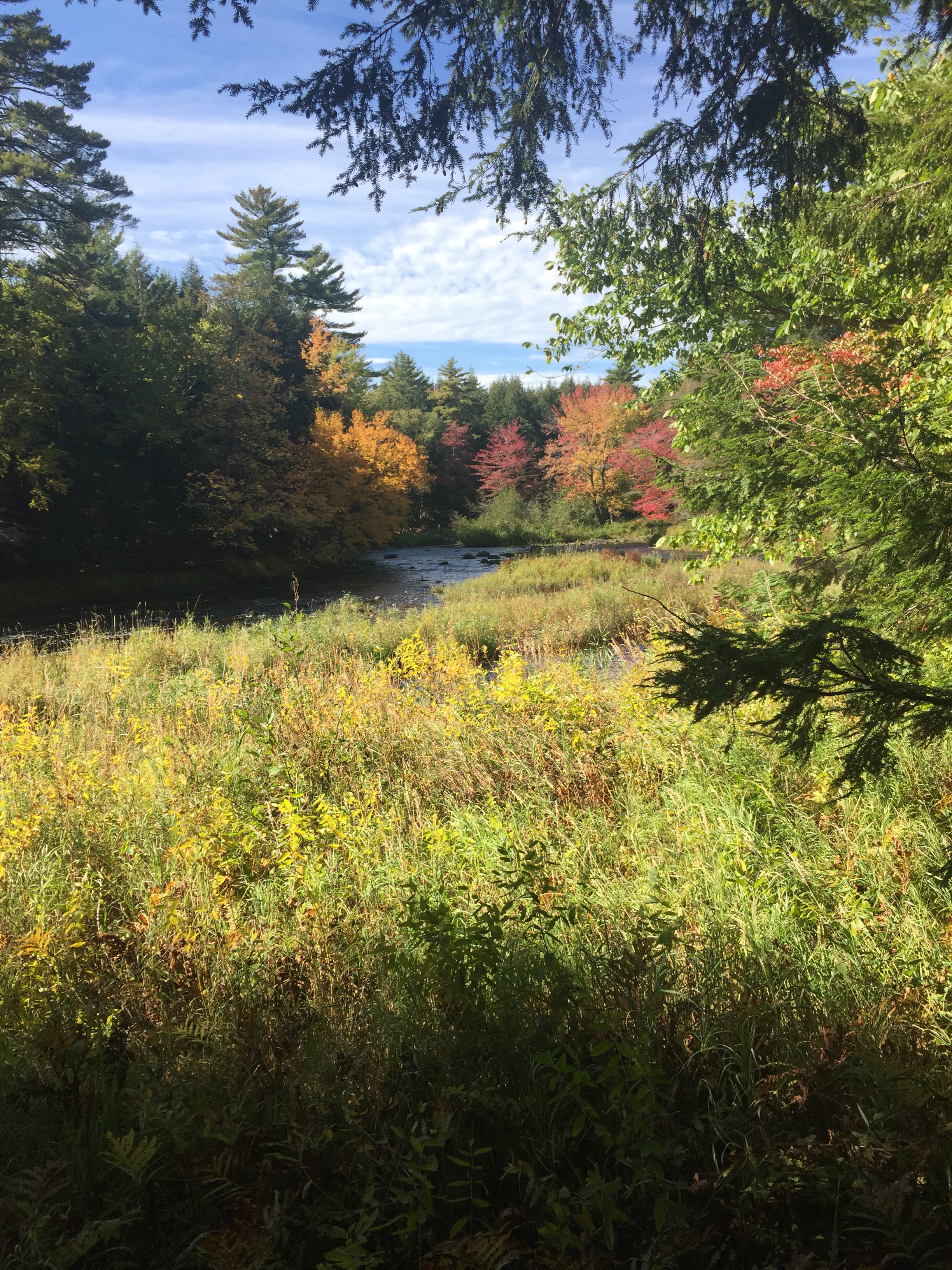
Fall colors, Mariaville Falls Preserve, ME
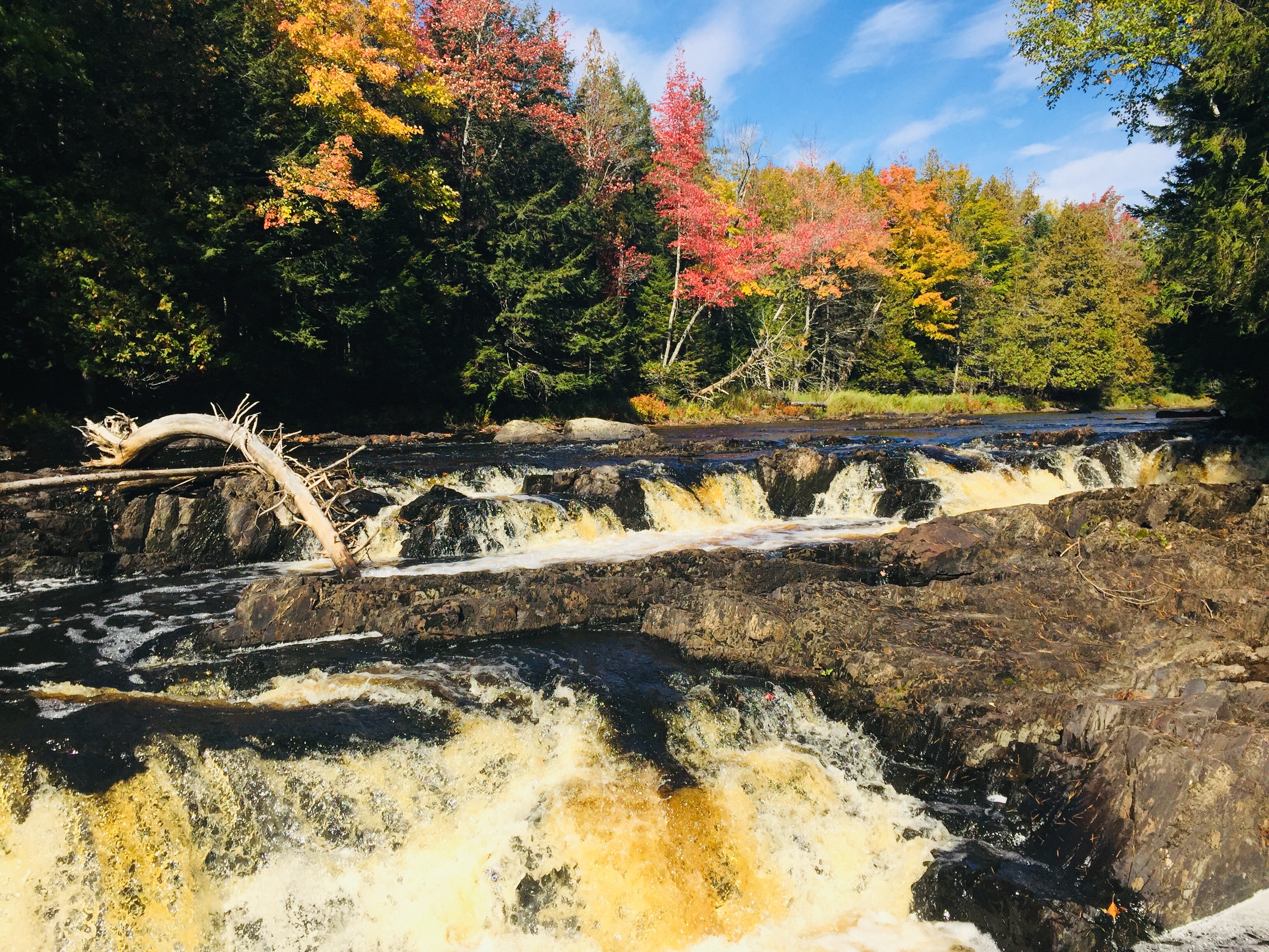
Union River, Mariaville Falls Preserve, ME
We walked slowly, and made the trip out and back from the second (gravel pit) parking area along the Fisherman’s Trail in about 35 to 40 minutes. The trail is steep in places, but this walk is short enough to be suitable for kids, and the views of the falls are excellent, particularly in foliage season.
Mariaville Falls Preserve, ME
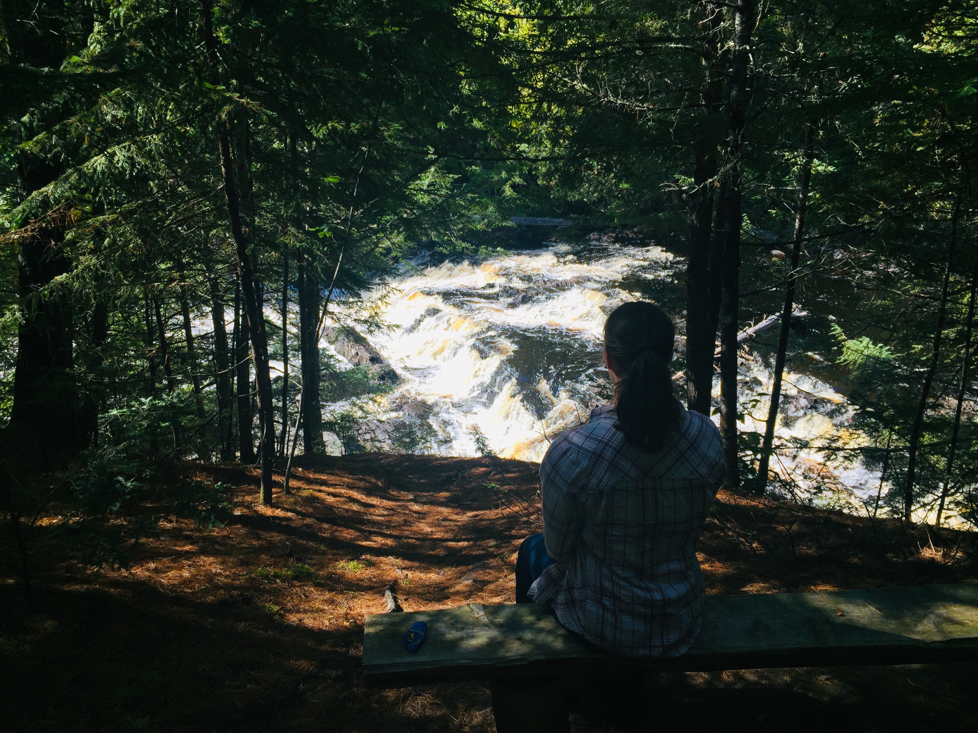
Observation bench, Fisherman’s Trail, Mariaville Falls Preserve, ME
A bench sits high above the rapids, a contemplative spot to pause and enjoy the view. Those feeling more adventurous can scramble down closer to observe the falls more closely. Those in transit in the Downeast region, or anyone looking for a short hike in the area, will enjoy this small but beautiful place.