(Note: The Katahdin Loop Road opened for the 2020 season on Saturday, May 23. U.S. National Park Service advises to drive with caution and be alert for soft spots and rough road sections. Haskell and Big Spring Brook Huts are temporarily closed, and updates will be posted to the NPS website.)
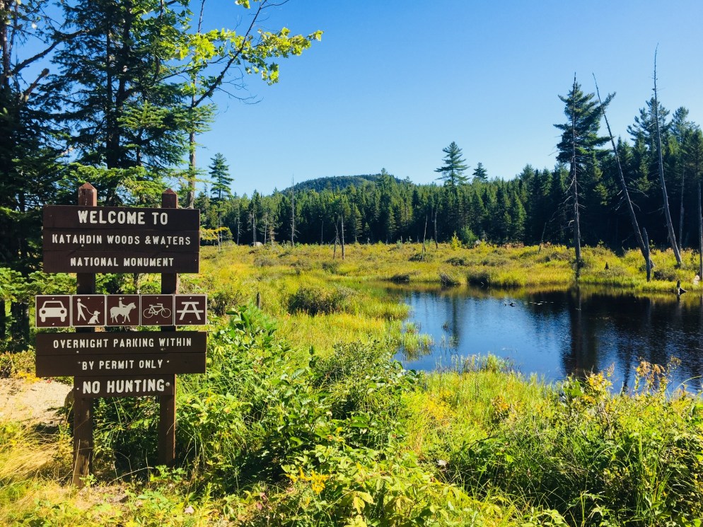
During a visit to Baxter State Park, dad and daughter found ourselves with sore legs and a half-day to explore, and we decided to check out Katahdin Woods and Waters National Monument via the Katahdin Loop Road. We got our direction from a Katahdin Chamber of Commerce visitor’s guide and a pamphlet from Natural Resources Council of Maine (NRCM), but we had followed the progress of the Monument since its creation in August 2016.
The standard route into the South Entrance is via Route 11 from E. Millinocket/Medway to the Swift Brook Road along the Katahdin Woods and Waters Scenic Byway, but we were feeling adventurous, and took the Stacyville Road north from Millinocket to where it meets the Swift Brook Road. We savored the lonely ride along this quiet logging road, occasionally startling game birds (this is not the way to take a low-clearance or non 4×4 vehicle).
The 17-mile loop of Katahdin Loop Road is punctuated by meadows, bogs, and ridges, and the south and west parts of the loop boast excellent views of Katahdin and the surrounding area. This is an opportunity to see the Monument and cover distance in a vehicle, while having the chance to get out and explore at a variety of hiking paths and overlooks. The best map of the loop we found (which I wish we had when we were there, as it is also an excellent interpretive guide) was from the Friends of Katahdin Woods and Waters, and can be found here.

The Lynx Pond Walk is shortly past the Loop Road Gate, on the right just past the Mile 2 marker. Shortly after the trailhead is a parking area on the left of the Loop Road. This is a very short walk through the woods to a small boardwalk by the pond, and a spot for quiet reflection and wildlife viewing.


Katahdin towers over the loop, and there are multiple spots around the Loop Road with views of the lakes and mountains to the west and south, particularly The Overlook, between Miles 6 and 7, which conveniently has a picnic spot and a toilet.


We continued around the Loop Road, and got out to stretch our legs again at the International Appalachian Trail (IAT) and trail to Barnard Mountain, passing over Katahdin Brook and by the IAT lean-to. This wide logging road made for a sunny trail, and though we did not make the turn towards the Barnard Mountain summit, we enjoyed the walk, and the familiar plants and animals that inhabit newly overgrown woodcuts, with blue jays diving across our path and into the trees. The Barnard Mountain trail itself is a moderate 4-mile round trip with summit views of Katahdin and Katahdin Lake to the west.

The IAT continues from the northern terminus of the Appalachian Trail at Baxter Peak across Maine, into Canada, across to Greenland, and Europe, to the Atlas Mountains of Morocco. For a great exploration of the concept of the IAT, see On Trails by Robert Moor, reviewed on this blog.

There are seven mountains in the Monument to hike, including Barnard, as well as paddling opportunities and waterfalls. The Loop Road was quiet, as were the trails, with natural sounds, and only a few others exploring the area. A bumpy drive back down Stacyville Road took us to Millinocket, where we devoured a Hawaiian pizza without remorse at the Millinocket House of Pizza.
Katahdin Woods and Waters National Monument is a special place, and we will be back there for hiking, biking, and paddling. The views during peak foliage season must be spectacular. Ensure you plan ahead, bring maps, and a cooler with water and snacks, as there are no facilities at the Monument, and cell coverage ranges from little to non-existent. But that’s probably what you’re looking for in the first place.
