Sentinel Mountain (1,842 ft) is not a towering monolith like Katahdin or a sinister double-horned mass lurking like Doubletop but its proximity and line of sight to those two peaks and the rest of Baxter and the North Maine Woods make it an important bucket list hike in Baxter State Park. In mid-September, I had planned for loftier heights and longer distances, but weather changed my plans, and facing impending thunderstorms, I opted out of the all-day hikes above treeline, and chose this smaller mountain. I used information from Hiking Maine’s Baxter State Park and Maine Hikes Off the Beaten Path, and navigated using Map Adventures’ Katahdin Baxter State Park Waterproof Trail Map. This moderately difficult hike of about 6.2 miles took me about three and a half hours, with plenty of time spent resting and enjoying views.

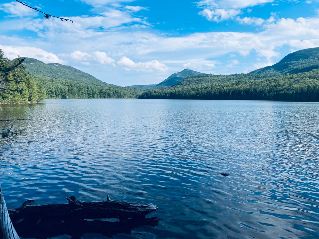
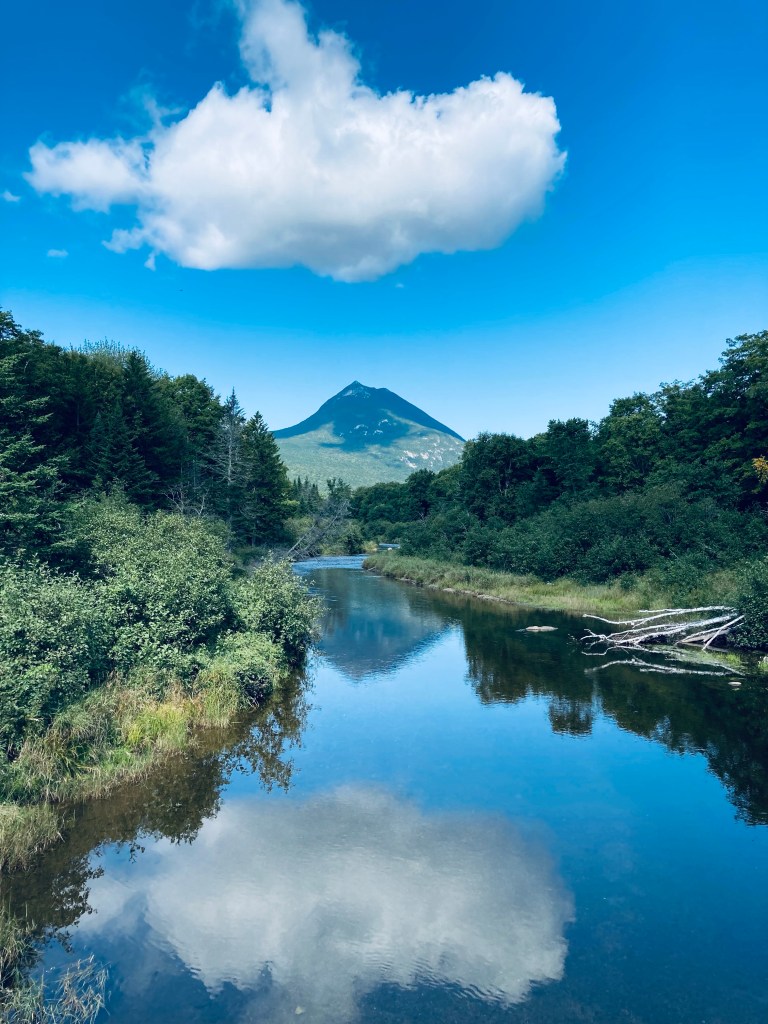
The Sentinel Trail starts from the Kidney Pond Day-Use Parking Area and runs concurrent with the trails to Rocky Ponds, Celia and Jackson Ponds, and Lily Pad Pond. I quickly ran into a large bullfrog perched in the middle of the trail, who looked at me briefly, then jumped beneath a boulder, then I walked past the boulder marked, “Kidney Stone – Do Not Remove,” which is Baxter State Park’s version of a joke. The trail crossed a lively brook emptying into flat, quiet Kidney Pond on a cloudy morning.
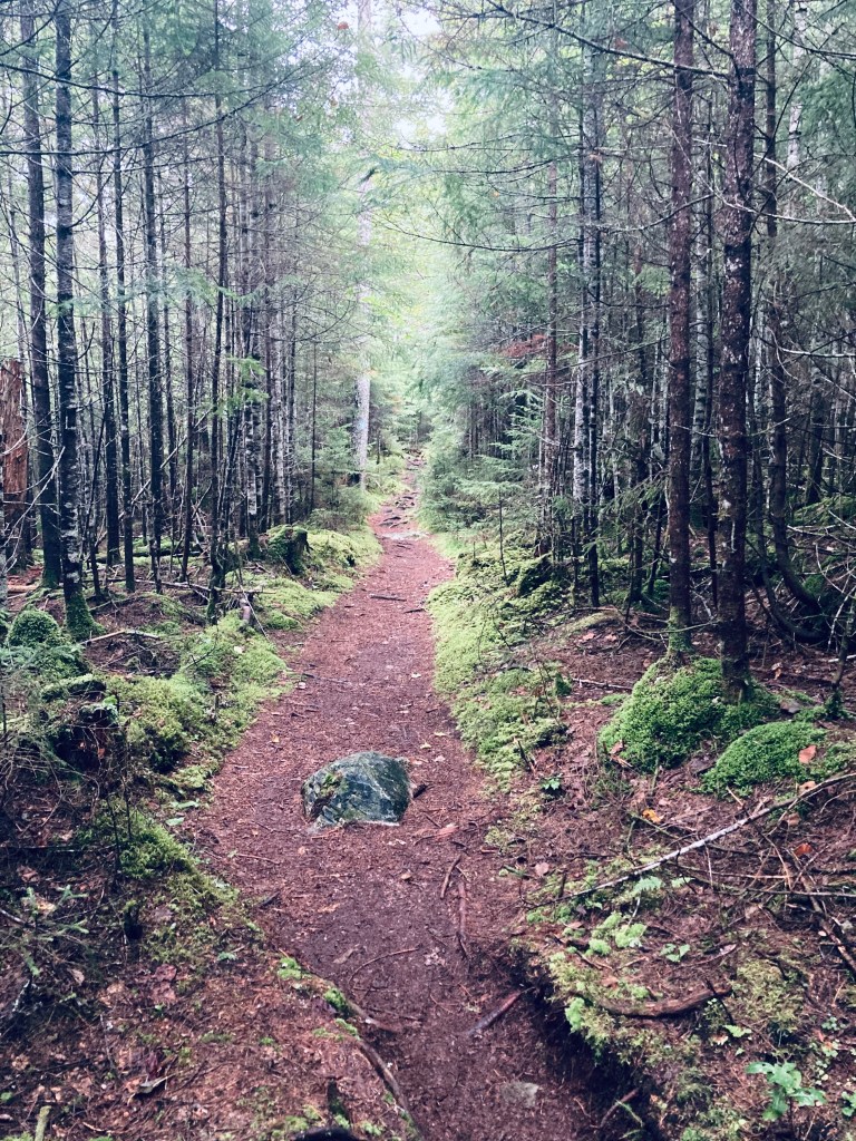
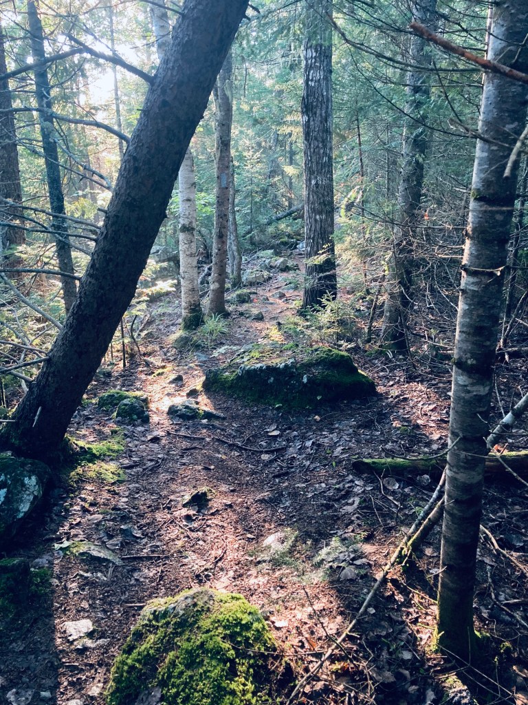
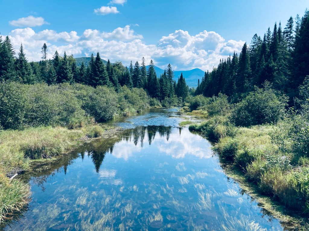
The trail continued to skirt the shoreline, with plank bridges and rocks used as stepping stones over moss and mud. I passed the turnoff for Celia and Jackson Ponds, continuing along the shore until I hit the hard right turn to the Sentinel Trail at about half a mile from the trailhead. The trail headed slightly uphill through a thick forest, the most compelling characteristic of which was its overpowering greenness. After a bit of a downhill, this gave way to what looked to be a much younger forest in a low-lying area. At about 1.2 miles the trail crossed Beaver Brook. Through the trees, I could see Beaver Brook feeding into a boggy area, later visible to the left of the trails.

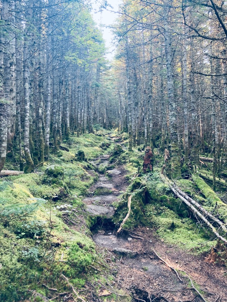
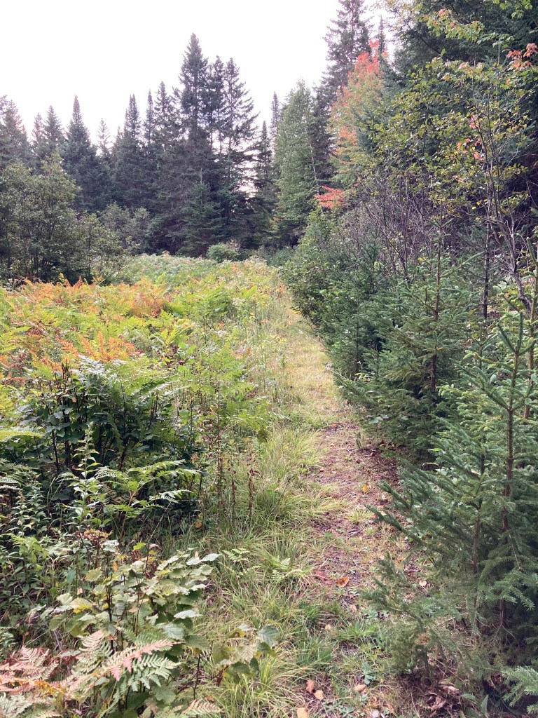
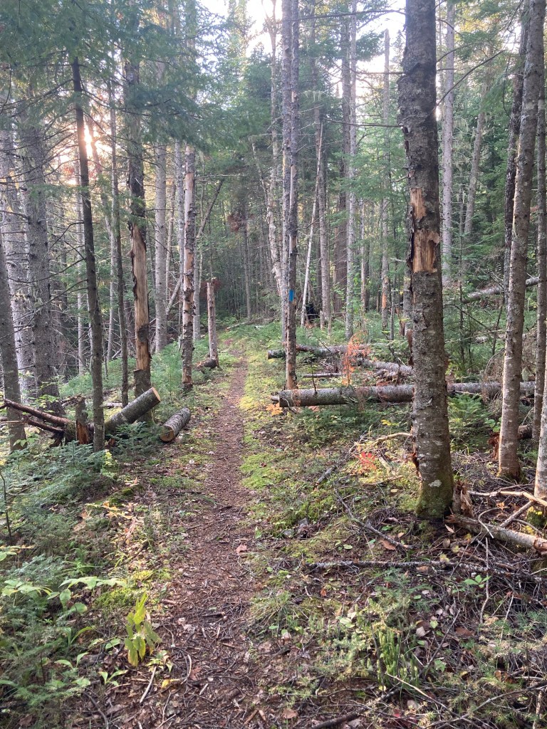
Once I got uphill, the trail was slightly faster through pines and then along a plank bridge walkway through another boggy area. Holes through the deep moss in the bog led to mysterious pathways beneath the visible surface of the path, signs of a subterranean world invisible and unknown. The trail then passed a stream with many little rivulets and drops, in the shadow of a large mossy rock outcropping. Shortly after two stream crossings, the trail really began to climb uphill. This grade continued for awhile, and then the last real challenge before making the turn onto the summit trail was a long, steep jumble of rocks and boulders.
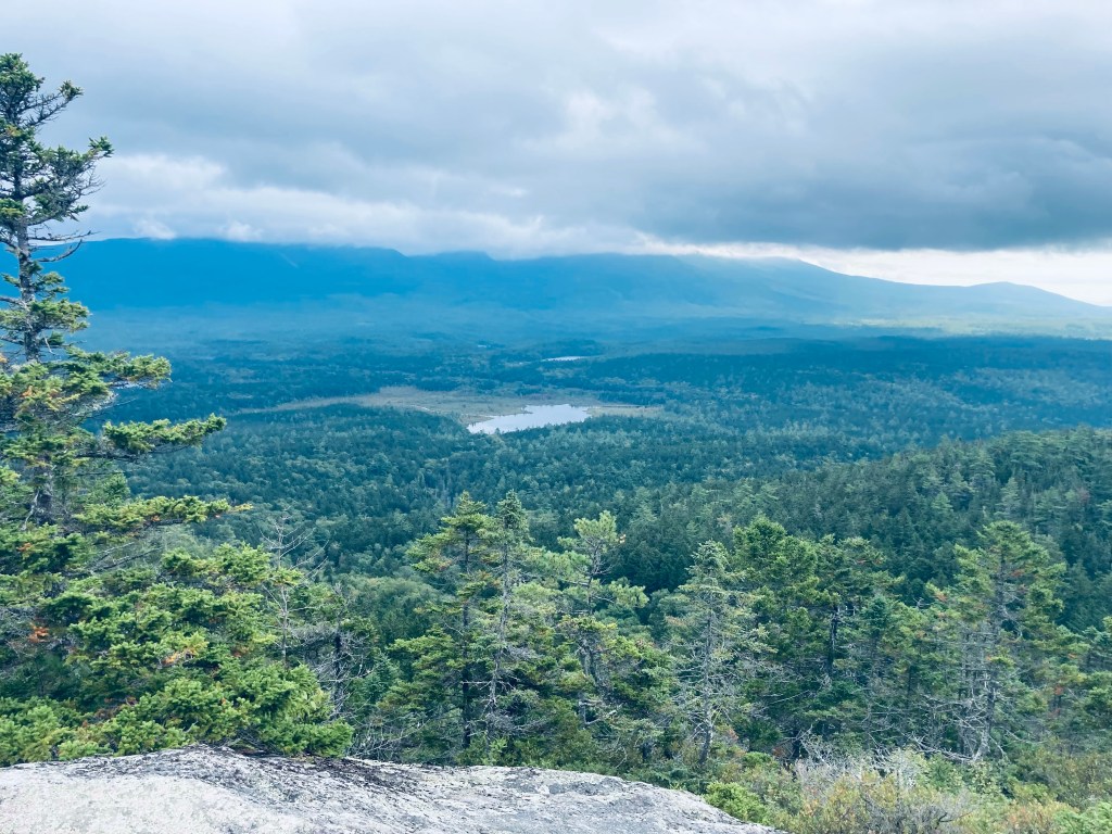
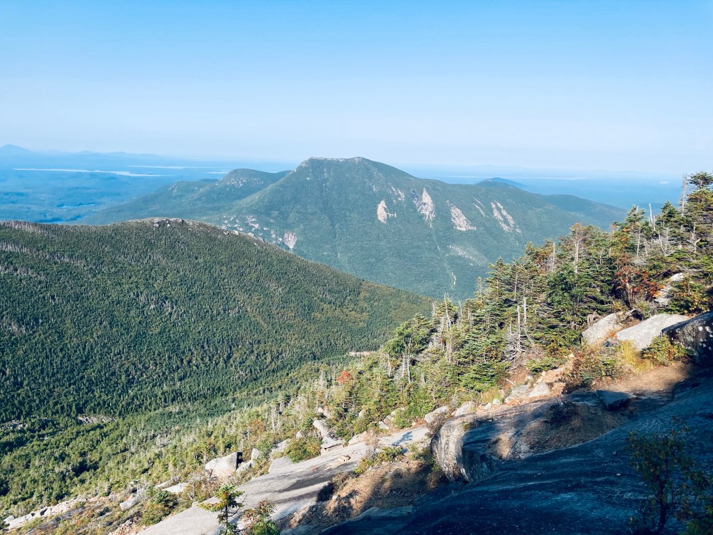
After a brief respite, there was another series of rocks, which were, thankfully, more widely spaced to allow for actual footsteps. After this steep climb, the summit loop path was a welcome change, walking on flat rocks, with a cool breeze and views of Baxter State Park and its surroundings. I turned to the right to take the loop counterclockwise and paused, facing east, with a view centered on Katahdin, despite the cloud cover moving in. This stone ledge was a great spot to sit down, have a snack and a drink, and drink in the air and views. Surprisingly, there was sufficient cell service to send home a quick proof-of-life text.
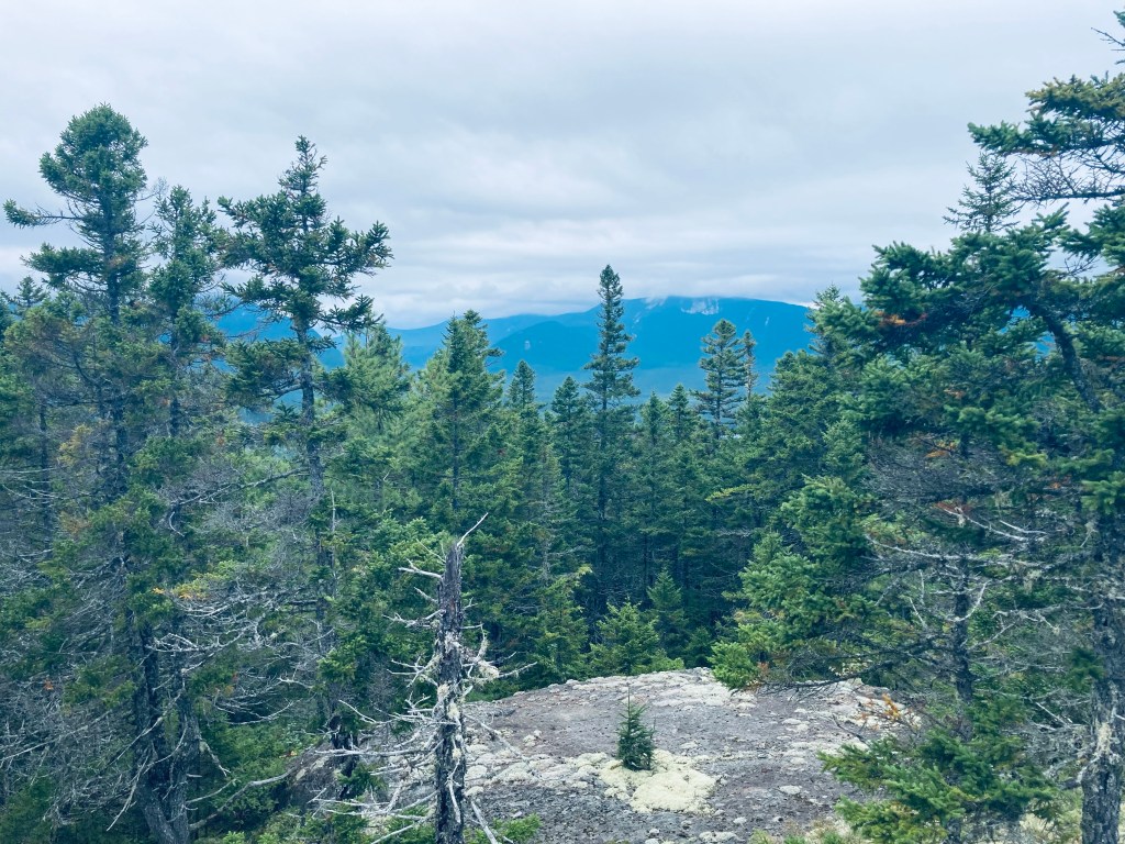
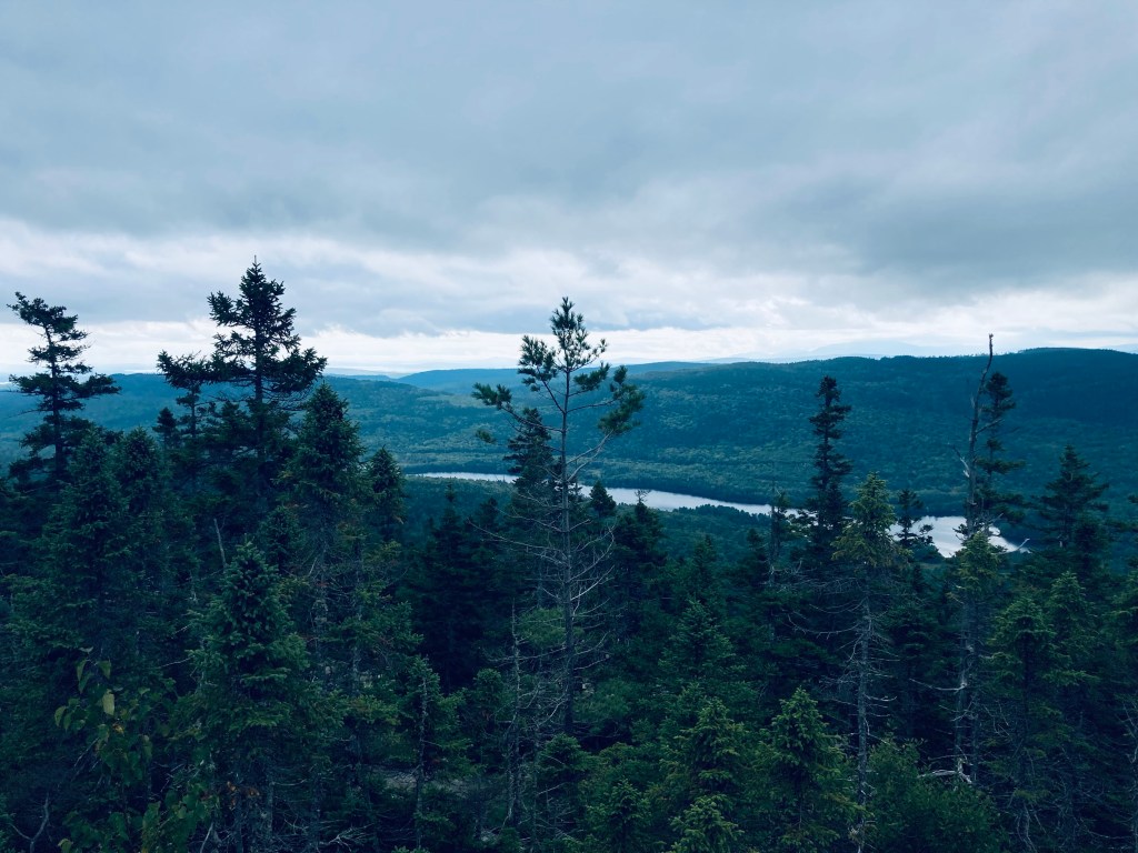
The remaining circuit was beautiful for the rocks and mountain laurel, lichen and blueberries, interspersed with views off more ledges through scrub pine to the Debsconeag Wilderness Area. There were still a lot of ripe huckleberries on the loop back and one last broad sweeping view as I made the turn left to rejoin the trail down from the summit. I heard a lot more birds on the way back, as some of the clouds cleared but were still hovering over Katahdin, and I heard a yellow-rumped warbler and a blue jay as I passed back near the edge of Kidney Pond.
(Disclaimer: This post contains affiliate links, and as an Amazon Associate Hiking in Maine blog earns from qualifying purchases.)