Hiking On The Road (Northern Virginia)

0197740016b3ab38e0f3fd0c6448c023f1315f0258
A bend in Quantico Creek at Prince William Forest Park

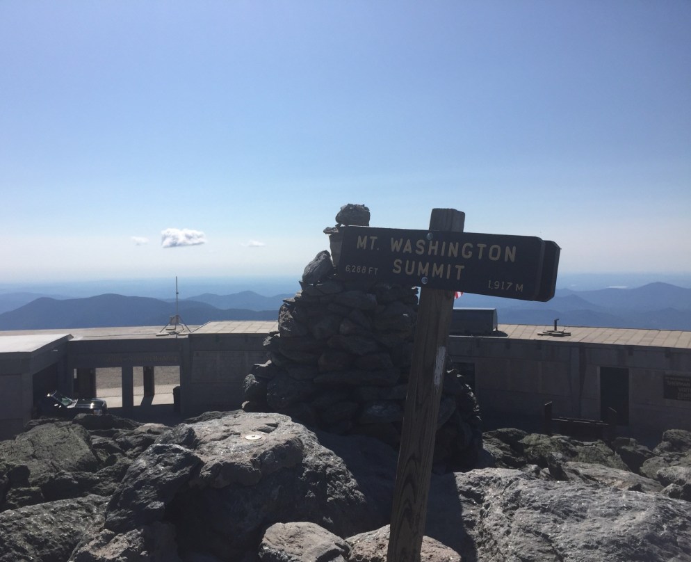
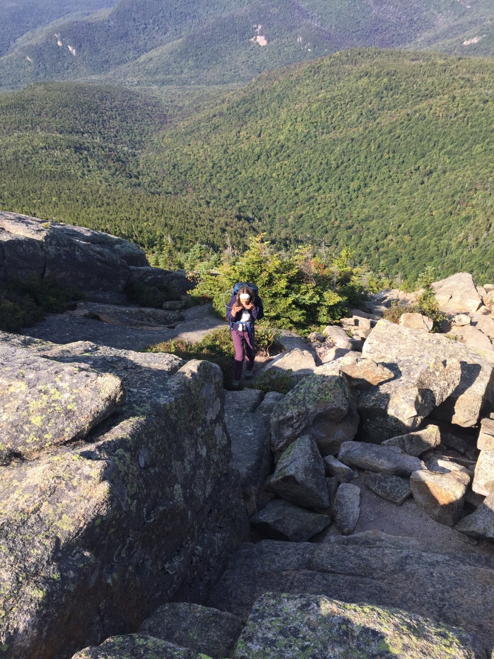
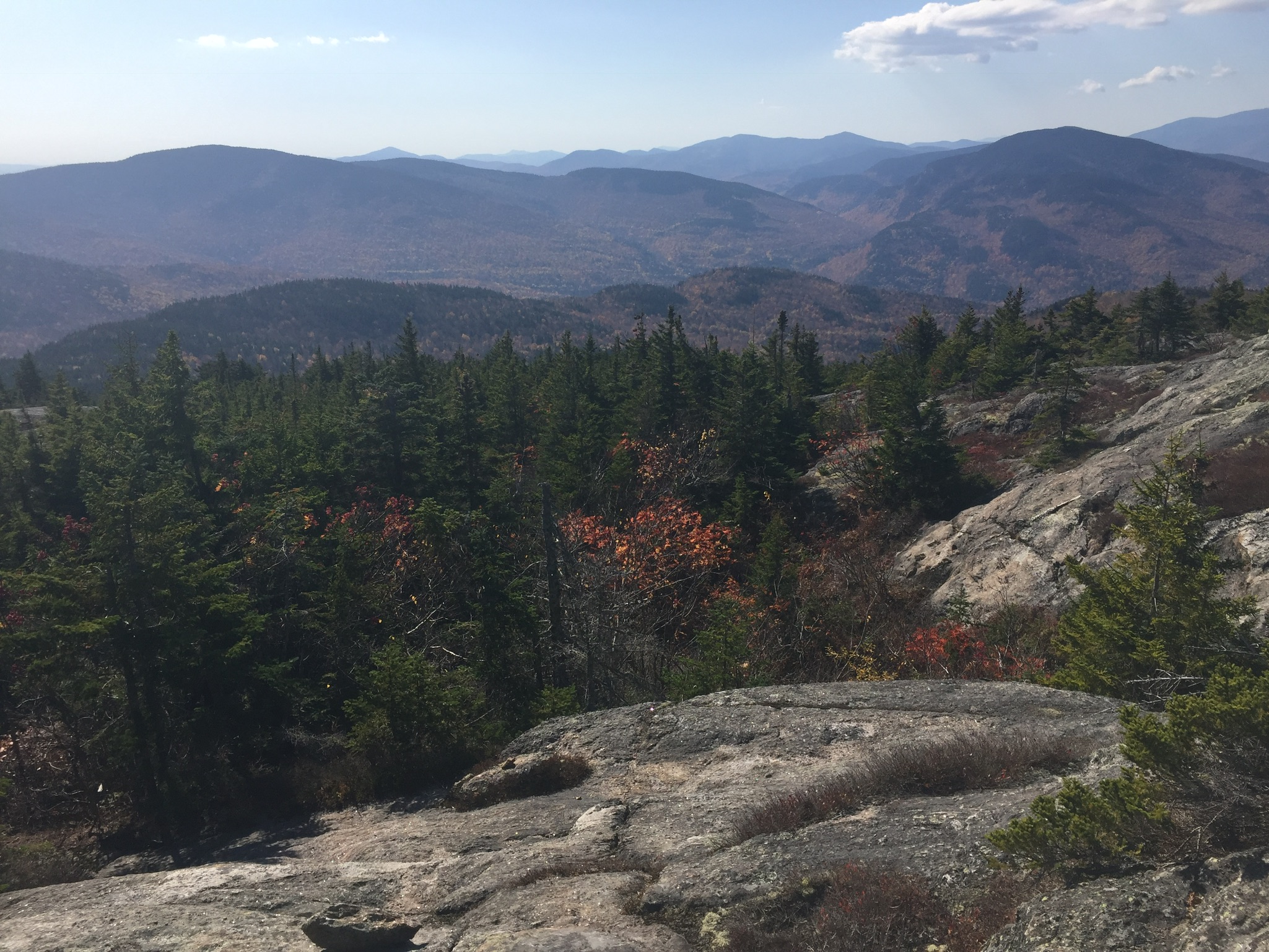
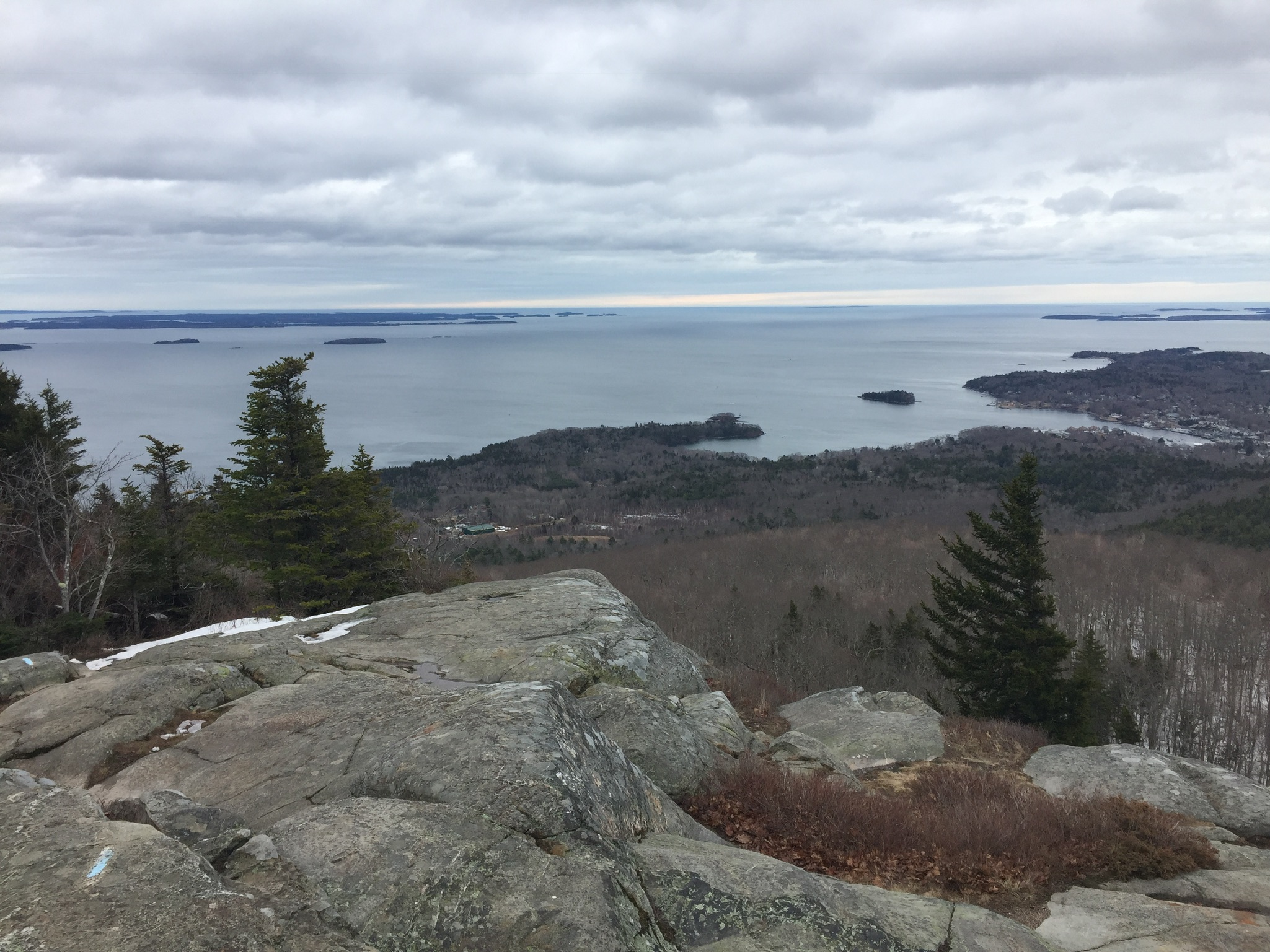
This blog has been quiet for a few weeks.  When you’re out of town, whether for business or vacation, you can easily get locked in to indoor spaces because of the comfort of a hotel room or the challenge of unfamiliar surroundings, particularly in a place that seems like it’s hopelessly locked in suburban sprawl.  But that would be a shame, as there are always new trails to explore via hiking and/or trail running which may hold surprisingly different flora and fauna.

011c841b1cd8dd378d645ceb183f69e0b5a50a78d5
Bird’s nest at Locust Shade Park

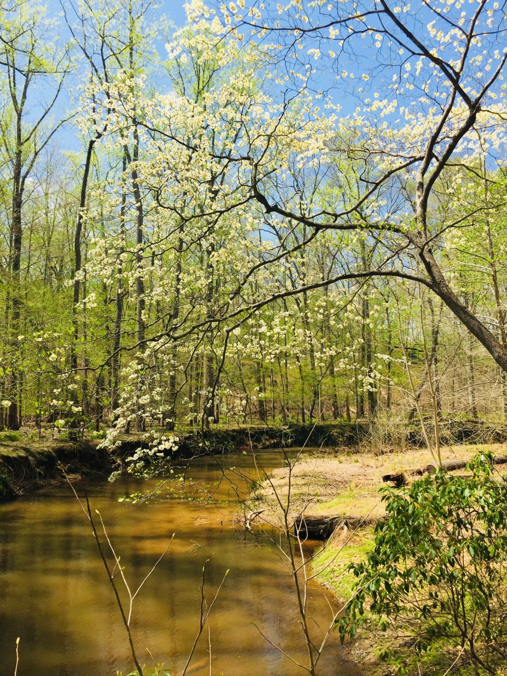
I spent a few weeks in northern Virginia, and found that there are wild spaces to be found- not as wild as Maine, but still beautiful and historic, and blooming in what seemed to be a full season ahead of the Northeast.  I used the All Trails app, National Park Service, state and county government websites, and word-of-mouth to find parks.  Here are a few:

01d8a57f0b3a81d5c1c9dd9b612014c22c7dfe3b36
South Valley Trail to North Valley Trail at Prince William Forest Park

Prince William Forest Park

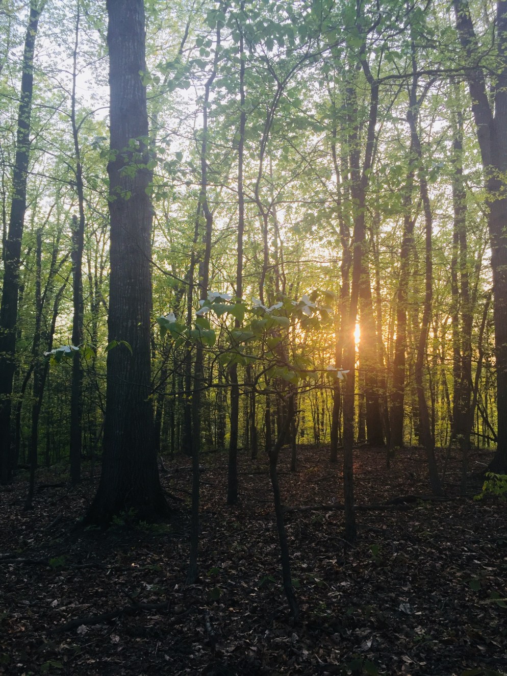
A $20 per vehicle admission fee (valid for 7 consecutive days) gets you entrance to a beautiful forest sanctuary in Triangle, VA with miles of trails (see official park maps here).  I chose a fairly aggressive loop from the Visitor Center parking lot, using the Laurel, South Valley and North Valley Trails, Burma Road, Scenic Drive, Oak Ridge and (again) South Valley and Laurel Trails to create a tour of the park that spanned almost 15 miles.

011dc73a655409c64aa3a8c250c4814eabe687efc6

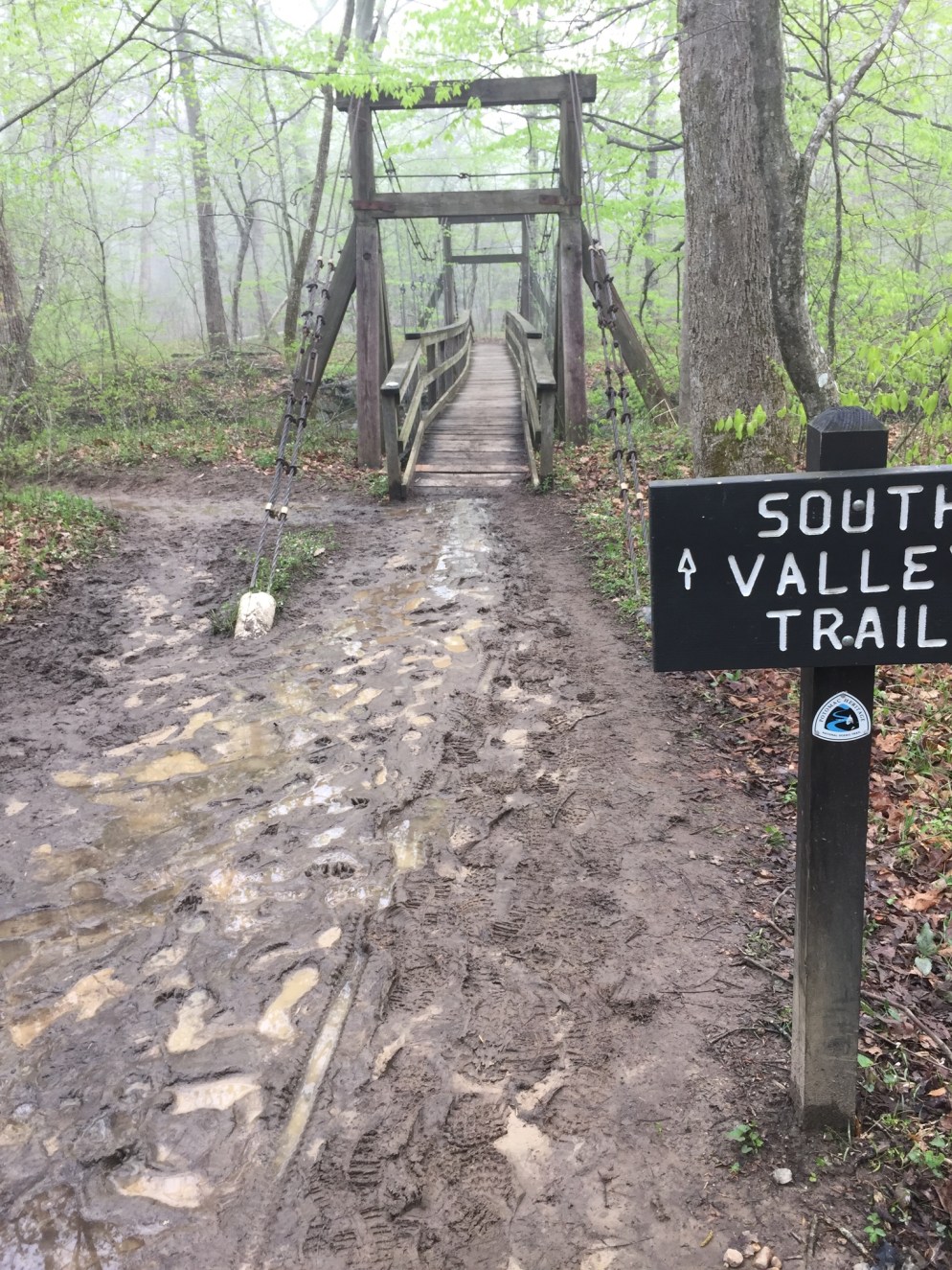
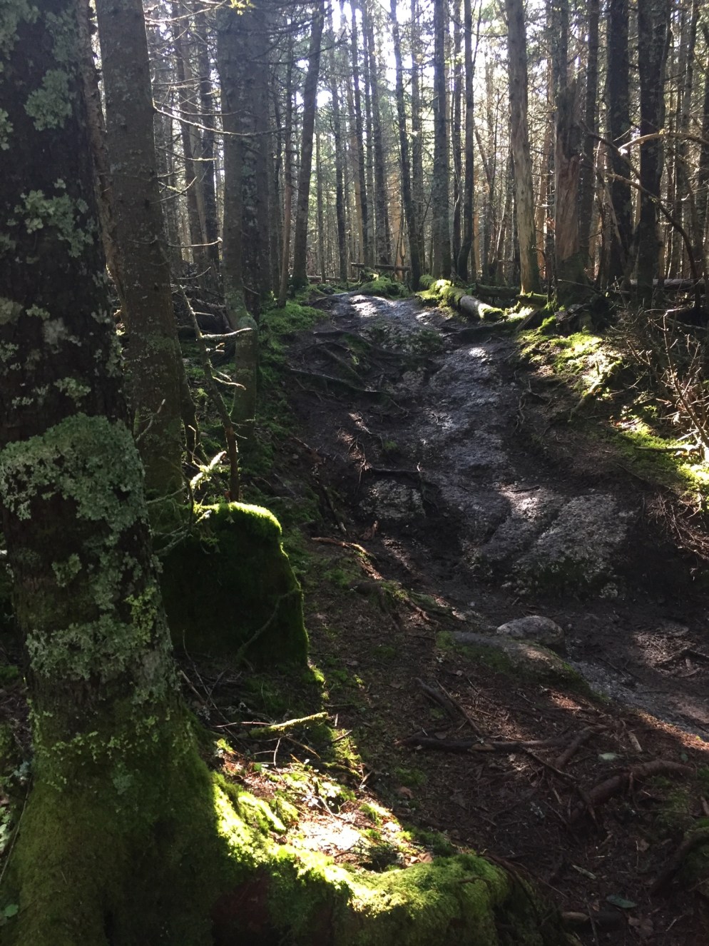
Like the other trails and parks I will describe below, this park appeared to have sustained heavy trail damage from storms, and trail crews had been busy.  The loop took me through rolling hills, and included waterfalls, dogwood blossoms, and a large variety of wildflowers.

01831cd20500a5823fe736cacea9a7fcf93cfe817a

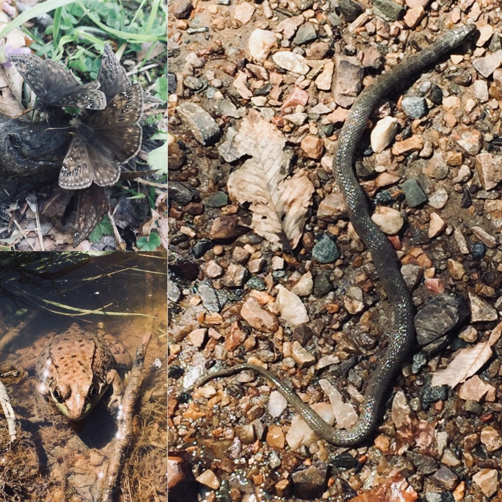
There were also animals to be found, including birds, butterflies, frogs, and what looked like a large water snake (I had no idea what “large” was- more on that at Mason Neck).

01da22176e9989a08aaef1ed0d2f35890a2c800193

This was a beautiful, uncrowded, quiet park, minutes from terrible I-95 traffic and shopping malls, and a welcome respite.  Originally built by the Civilian Conservation Corps (CCC) as the Chopawamsic Recreational Demonstration Area (RDA), it is a triumph of land management, including the reclamation of an old pyrite mine and its former pollution of the surrounding streams.

0118420016cad0507a3cb57f1c00f2f52f7a8ade7e


012ca8ce4f792c7dff9b768fb42de585ed8b4cc427
View from the Observation Blind overlooking Kane’s Creek at Mason Neck State Park

Mason Neck State Park

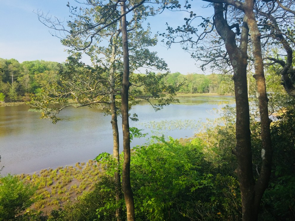
Mason Neck, located in Lorton, VA, is a peninsula on the Potomac River, with miles of hiking trails (see park map here), and water/paddling activities available, as part of the Occoquan Water Trail.  Again, $7 for out-of-state residents.  I was there on a weekday evening, and took the Kane’s Creek (1.2 mi) and Eagle Spur (1.29 mi) Trails, as well as the Bayview Trail (1.02 mi).  This is a place to see bald eagles, and an observation blind sits at the end of the Eagle Spur Trail.

0198a108603d1dc208c7ac311684cc741c8eba4683
Bayview Trail, Mason Neck State Park

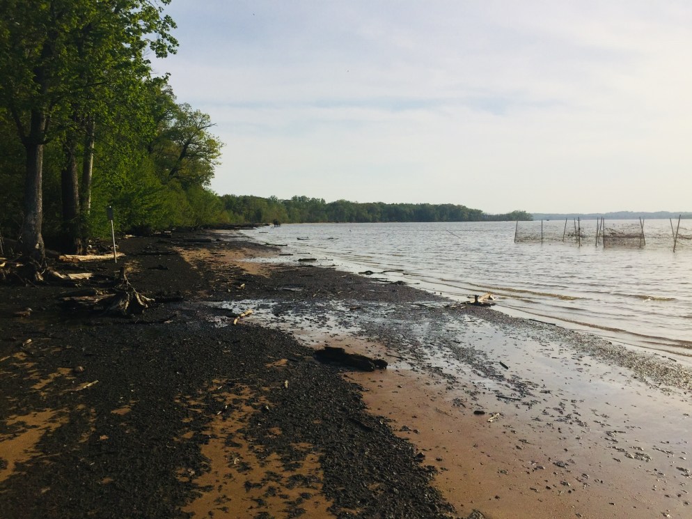
I didn’t see any eagles or osprey.  What I ended up seeing on the Bayview Trail were snakes.  Lots of snakes.  Big water snakes.

019c66a17505e060a2cb4a9c4590f735566566223901721965e5f3804a50cea347352f0a4e78e4bb5a95

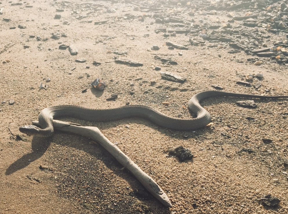
But I didn’t bother the snakes, and they didn’t bother me.  Mason Neck is, again, right next to the I-95 corridor, but a beautiful, well-maintained park.  Each trail has its own self-guided tour, with brochures available at the map/kiosk next to each trailhead, and plenty of green space and benches to enjoy the scenery.


0132a8ef0d7baa2650f19ed8ad0fa6cb1d8b9ee2b7
Sunset at Locust Shade

Locust Shade Park

Locust Shade Park is sandwiched between I-95 and U.S. Route One, but has some great trails in between, with a listed length of four miles (see map here), full of birds, flowers, and lizards.  A word of caution – the AllTrails app appears to have this trail transposed a mile or so to the east, which would put someone who used the app for navigation at the gates of the Quantico Marine base.

01c447c199837e49bcf703d9f0bda6c83c402e2218
Yeah, you can see I-95 from the trails at Locust Shade

I visited this park in the late afternoon, and the nearby highway was jammed with traffic, making me feel lucky to walk or run on trails.  The terrain was rolling, with a few hills and streams, and made for a pleasant hike, rather than the usual rocky challenge of Maine trails.  The trail also has a Fitness Trail loop, with self-guided stations for exercises.

One thing that makes Locust Shade special is its proximity to the National Museum of the Marine Corps, and the Locust Shade trails connect at their northeast terminus to the silent looping trails of memorials winding around the museum by the side of well-laid brick walkways.  Nobody does tradition like the Marine Corps.

01f3a8994093559abef06a26cc8c5515092c470d83
Evening light at Locust Shade Park

018af0bf93497c26a73ff08a71ae9e673631b854e2
Trail Map at Government Island

Government Island

Government Island is a small park and historic site, originally a quarry purchased for the federal government in 1791 by Pierre L’Enfant, where freestone was extracted for construction of the White House and the Capitol.  Navigation using Google Maps can be difficult, but using the physical address, 191 Coal Landing Road, Stafford, Virginia, seemed to work.

01e48c25a8459796bb99d4264e33afb2f4ff72a1d8

Admission is free, and the trails are only about a 1.5 mile out and back loop around the island on Aquia Creek (see the trail map above), full of birds and trees.

0165604bc35d2f48a8053ae8a461d6d781542d2f1e
Overlooking Aquia Creek from Government Island

So, next time you find yourself somewhere different with time on your hands, look up a trail, and start walking.  You never know what you might see.

5 steps to getting back on the path: Ideas, resources, tactics, and links for hiking Maine in 2018

01ba5291fa803ab4eb7f3b79fcf041de60bf649920

Maine’s seasons are different than those of our neighbors to the south- sometimes the resolutions of the New Year are still buried under several feet of snow, even at the beginning of Daylight Savings.  I believe it’s important to get outside in the winter either way, but this article will focus on planning for the traditional hiking season.

013d0f1b76fdb932e45451cd01de05825175e5efee

Step 1: Create a difficult, even unrealistic goal.

  • How we did it in 2017: In the winter of 2016-2017, we decided to attempt the 100 Mile Wilderness.  The difficulty of this task forced us to create a training schedule, and to prepare our gear and bodies one piece at a time for a “capstone” hike, so that we were not fully ready for it until we stepped onto the trail.  The training then became part of the journey, instead of being a series of unrelated excursions.  And we also had a blast doing it.
  • How you can do it in 2018: Pick a goal, and plan for it.  Check out this great article by Carey Kish on Ten Great Hikes You Should Do in 2018.  Or this one, again from Maine Today, on 10 Brag-Worthy Hikes in New England.  Pick one outside your comfort zone, something you haven’t done before.  If you are a more experienced hiker or backpacker, do the same with longer, multi-day hikes.  Try the Section Hiker blog for ideas.  Great ideas in the area include Maine’s Bigelow Range, the Presidential Traverse in New Hampshire, and even the Long Trail in Vermont.  Or maybe you are tired of explaining why you have lived in Maine for X number of years, and never been to Katahdin’s summit.  Make it challenging.

014f618d47f310413314bdf332c6c76de66f0e2ca5

Step 2: Make yourself accountable, find a partner if you can, and lock in your plans.

  • How we did it in 2017: Daughter and dad agreed on our training plan and final goal.  Hiking together is fun.  We told people (family, friends, co-workers, gear salespeople) we were going to hike the 100 Mile Wilderness together.  That made it hard to back out.  We also set aside vacation days for the attempt, and later, booked a Baxter State Park parking pass ahead of time for Katahdin.  Planning is fun, too, and having these outdoor excursions to look forward to can be soothing, depending on your life situation and “day job.”
  • How you can do it in 2018: Start with the end goal in mind, and back up to the current day, making incremental additions to your training plan.  For accountability, book your arrangements early (vacation days, lodging, re-supply) so you are motivated to follow up on your investment.  Put everything on a calendar.  In general, buying a state park season pass is a good deal, and will prompt you to get out there.  Maine’s is $55 for individuals, or $105 for a vehicle pass, and free for seniors. The White Mountain National Forest offers an annual pass for $30, and an annual household pass for $40.  These passes also allow you to forgo the hassle of trying to find a pen and exact change at the many self-service kiosks at trailheads, and to support our great parks.

IMG_4593

Step 3: Let experts do the work for you.

  • How we did it in 2017: We devoured the books and blog posts we could find on the 100 Mile Wilderness (check this out), and purchased the Appalachian Mountain Club Guide to Maine, as well as the maps for the 100 Mile.  For our training hikes, we consulted the Maine Mountain Guide and the White Mountain Guide (skip to Recommended Hikes, get in the car, and go).
  • How you can do it in 2018: Buy the AMC Maine Mountain Guide and White Mountain Guide.  Just do it.  They come with maps, they are well-researched, portable, and can serve as a journal for hikes completed.  Also, follow Philip Werner’s Section Hiker blog (mentioned above) and Carey Kish’s columns on Maine Today.com.  Ask at Information Centers for actual information, and engage with park rangers and volunteers.  In addition, join the Appalachian Mountain Club.  It’s cheap, most of the membership fee is tax deductible, it supports trails, and they sponsor a ton of group activities/hikes for all skill levels.  Follow the people above on Twitter to get updates and ideas, as well as publications like Backpacker Magazine and Outside, which also has an excellent podcast series.

01cfac11100070732349ebc51022021507ba408940

Step 4: If your plans are disrupted, do “something” anyway.

  • How we did it in 2017: We couldn’t always get out on the trail.  School, work, travel, injuries, commitments came up that kept us out of the woods.  But we figured out ways to work through.  Daughter played basketball, and dad focused on weight room exercises (lunges, box jumps, squats) that strengthened legs for the terrain of the 100 Mile.  We skied.  On a couple weekends we couldn’t hike, or were out of town somewhere, we signed up for several 5K road races – try Running In The USA.  The way to get better at doing hard things is to do hard things.  Just do something.
  • How you can do it in 2018: Shorter hikes can be very rewarding when time is not on your side.  Try a big-payoff one like Burnt Meadow Mountain or Pleasant Mountain, steep hikes with great views.  Try trail running, which is just hiking’s skinnier cousin.  There are trail running groups throughout Maine.  Baxter Outdoors does a great race series, which might take you to some places you haven’t been, help you meet some like-minded people, benefit charity, and get some free beer.  Here are some tips to get ready for hiking with a pack from Backpacker MagazineUnderstand your limits, particularly with an injury, but focus on the things that you can do.  For example, dad broke his right wrist descending Katahdin in September 2017, and this precluded a lot of activities, but still allowed him to hike, and as a result he developed more dexterity in his left hand.  A caveat: all these things help, but hiking with a pack seems to be a singular exercise, and the best way to get better at hiking is to hike (see above regarding hard things).

IMG_3943

Step 5: Let the momentum propel you to staying on the path.

How we did it in 2017: Despite our difficulties at the end of the 100 Mile attempt, we were both invigorated by the hiking we’d done, and talked about more goals.  Daughter had never climbed Mt. Washington or Katahdin, and felt strong after our training.  It was only mid-July, so the good times we’d had kept us hiking, and we completed both of these mountains, as well as some great hikes in between.  We started taking more pictures, and talked about capturing our adventures in this blog, which we began last fall, right after our Katahdin hike.

How you can do it in 2018: Use the aforementioned accountability to keep you going, locked in to activities, and check in with people who are doing the same.  You will feel stronger each time you get out there, and maybe your goals will change by the time you hit your big hike.  You will see intriguing side trails and places along the way.  If you are into social media, use it to catalog your progress.  You won’t find any “look at me shirtless doing yoga on top of a mountain” selfies on this blog, but if that’s your thing, and helps you…  Either way you will have fun and get outside.

(Disclaimer: This post contains affiliate links, and as an Amazon Associate Hiking in Maine blog earns from qualifying purchases.)

Mount Washington

On July 23, 2017 we hiked Mt. Washington (6,288 feet) from the AMC Pinkham Notch Visitor Center via the Tuckerman Ravine Trail and the Lion Head Trail (4.3 miles).  The best road map for this strenuous hike is the AMC White Mountain Guide, which contains maps and trail descriptions.  The Pinkham Notch Visitor Center also sells maps for a nominal fee, has free advice and info, and a scale model of the mountain and its trails.

Having attempted the 100 Mile Wilderness two weeks earlier, we now set our sights on Katahdin later in the summer, and focused on getting in some climbing to prepare for this capstone hike.  We packed light, though, and focused on water and snacks.  Dad carried a pack with clothing and essentials, and daughter used a small Camelbak pack that held a water bladder and not much else.

Knowing that the parking lot and the trail would be busy on a Sunday in the summer, we got an early start, signing the trail log and beginning our hike before 7 am.  Still, we were not the first ones to hike the mountain that day, because a scary fit guy wearing no gear came running hard down the trail, having already been to the top.

Crystal Cascade
Crystal Cascade.

About 0.3 miles up, we stopped to take a picture of Crystal Cascade.  The next two miles were a steady climb upward on a wide, rocky trail. We shed some layers as the sun rose higher in the sky, then took the right-hand turn onto the Lion Head Trail.

Lion Head Trail on Mount Washington
Lion Head Trail on Mount Washington.

The trail became a lot steeper as we approached the edge of the tree line.  We took a break shortly after clearing the tree line to apply sunscreen and eat some peanut butter M&Ms, a favorite of ours.  Hiking a mountain with such light packs seemed easy, after our 100 Mile ordeal.

Tuckerman Ravine
Tuckerman Ravine.

The open climb and bright summer morning gave us excellent views of Tuckerman Ravine below.  We also paused several times to admire the foliage in an area close to the Alpine Garden Trail.

Mount Washington

There is so much more to see, and this is a great video describing some of the varieties of plants and flowers in the Alpine Garden.

The final climb to the summit, .4 miles, which seemed to go straight up, with no end in sight, ended abruptly at the parking lot near the summit.  This has always seemed a strange juxtaposition, to be immersed in nature, then to have so much commerce at the top of New England’s highest peak, but we also enjoyed the opportunity to buy a chili dog and slices of pizza in the snack bar.  For round-trip hikers, there are restrooms, as well, and water points to refill for the descent.

We made the decision to purchase tickets for the van shuttle back down to the Pinkham Notch Visitor’s Center, rather than hiking the descent, as daughter was fighting a headache, and we had done the fun part of the climb already.  The price was reasonable ($31 for dad, $13 for daughter), and included a pass to the Mt. Washington weather museum, which we visited while waiting for our scheduled van.  The moral of the stories contained in the museum seemed to be: be careful on Mt. Washington in the winter.  Daughter purchased a plush moose she instantly named Tuckerman, and a clever cat-themed t-shirt (“The Meow-ntains are calling, and I must go”).

Mt. Washington Summit.

You can see how volatile the weather can be from the featured image at the top of this post – immediately above is a photo from dad’s summit in June 2016, with better visibility.  Dad usually climbs Mt. Washington once per summer, via the Tuckerman Ravine or Lion Head routes.

After a short jaunt down the auto road in the van, and back to our car at Pinkham Notch, we drove the 15 minutes south to Jackson, NH, where we cooled off in Jackson Falls and picked blueberries by the side of the river to end the day.

Old Speck Mountain

017c2f38afc15ca2a5b43ca0e084744d0701fb3d22

On July 16, 2017, dad did a solo hike (daughter had a planned visit to Aquaboggan) of Old Speck Mountain (4,270 ft), a fairly strenuous 7.6 miles, the fourth-highest peak in Maine, located inside Grafton Notch State Park, via the Old Speck Trail and Mahoosuc Trail, with guidance from the AMC Maine Mountain Guide and the Maine State Parks and Public Lands site, which has a map here.

Parking was available at the trailhead off ME 26, and the self-service payment was a $3 fee for Maine residents.  This was dad’s first hike after the 100 Mile attempt ended the previous weekend, and he got an early start.

015a5e99fad615d77358906f47151d9e2a6b656134

The falling water off Cascade Brook was running beside the trail, which is part of the AT, and the morning sun made for great light variations along the path.  Very few hikers were around, due to the hour.

01d1effb9e33eb0b6b1f98dad30b3ec26f78bbd386

0178008c296c0ba8768eb559ca9daac491484a36f9

Dad surprised a big snowshoe hare, still in its summer brown, with white feet, partway up the mountain in a clearing, and it galloped off before he could take a picture.

0154b21dc61c6daa61aac588ba6c2e91a54f12c52a

At the summit was an observation tower, which, when climbed, provides panoramic views of the surrounding mountains.

The descent was fast, despite some lingering knee and hip pain from the 100 Mile, and dad took a chilly dip in the shallow waters upstream of Screw Auger Falls to cool off.  Like the Chocorua climb and Lower Falls Recreation Site, it is a great summer combo, covered by the same use fee.  Nearby are Mother Walker Falls, Moose Cave, and the Spruce Meadow Picnic Area.

(Disclaimer: This post contains affiliate links, and as an Amazon Associate Hiking in Maine blog earns from qualifying purchases.)

Mount Chocorua

016826b763b9bb48dd29303074186723d61976eb0b

Dad did Chocorua solo on August 30 and then came back with daughter on September 2, 2017 to do it again.  This hike was suggested by friends, and planned using the AMC White Mountain Guide, making it part of the “and beyond” part of our stated “Pine Tree state and beyond” header, as the mountain is in Albany, NH.

There are several loops up and down this beautiful mountain, and dad took the Piper, Nickerson Ledge, Carter Ledge, Middle Sister, and Piper Trails up, then descended via the Liberty, Hammond, Weetamoo, and Piper Trails (9.6 mi).  This trailhead is accessed from NH 16.  Dad and daughter ascended on September 2 via the less challenging but equally scenic Champney Falls and Piper Trails (7.6 mi), accessed from the Kancamagus Highway.  Both parking lots can be crowded in the summer, so we got an early start.  From either starting point, there is a small cash use fee to the White Mountain National Forest, payable with cash at a kiosk (and bring a pen).

0196c946aa227721ea76908cd2062924657a6c5887

The trail climbs steadily up past Champney Falls and Pitcher Falls, which were not running with much force at this time of summer, but still worthwhile to see.

01d185b04bb975e012f57f3798eacff99578ad84ef

After the intersection with the Piper Trail, the vistas opened up, and we had fun making our way up to the windy summit in the morning sunlight.

010c2f3d1e431b67e46eacae0827cffcb06969aa1b

The last scramble to the top involved some steeper climbing, which we enjoyed.  We didn’t spend much time at the summit, as the wind was powerful.  After the climb up, our descent was pleasant and uneventful.  We did notice that the volume of hikers headed uphill increased dramatically as the day wore on, and felt good about getting an early start.  Many people brought their dogs, and this seemed like a good hike with a pet, as long as they were careful near the top.

We enjoyed a great post-hike pizza at Brothers Original Pizza in Albany, NH, which has an outdoor deck, if you are so inclined.  The air was chilly on this trip, but if you take the Champney Falls route, a short distance down the Kancamagus Highway is the Lower Falls Recreation Site, where you can cool off in the Swift River after the hike.

(Disclaimer: This post contains affiliate links, and as an Amazon Associate Hiking in Maine blog earns from qualifying purchases.)

Caribou Mountain (Caribou-Speckled Mountain Wilderness)

Views from Caribou Mountain

The Caribou-Speckled Mountain Wilderness area inside the White Mountain National Forest (WMNF) is an accessible but vastly underrated area to hike in Maine, and we hope it stays that way.  Uncrowded, beautiful and wild, but close enough to civilization, it is one of our favorite places.  Another option is an overnight hike of the Royce-Speckled Mountain Loop.  In October 2018, we hiked Caribou Mountain (2,850 ft) via the Caribou and Mud Brook Trails, a moderate 6.9 mile loop, which took us a bit over four hours.  The idea (and map) for this hike again came from the indispensable Maine Mountain Guide’s recommended hikes (see our review of the 11th edition here), and did not disappoint.  With fall foliage at its peak, the views were dazzling.

0179057ddd02c215a53e6f90fa4141391ba45b99e0

We again had wife/mom along as a guest, and we parked at the west trailhead on Rte 113 (Google Maps), from which both the Caribou Trail and Mud Brook Trail depart.  The temperature hovered around 70 by late morning, definitely not an October feel, and we were all in t-shirts for most of the hike.

The Caribou trail weaves over and around Morrison Brook on the way up, and we stopped briefly at Kees Falls, which was impressive, but not running at full volume due to recent drought conditions.  Shortly after the falls, we startled a comically fat raccoon, which stopped foraging, and disappeared (slowly, and with effort) up the opposite side of a tree.  A steady uphill climb brought us to the Mud Brook Trail intersection, and we turned right for the final push to the summit, where we sat in the sun and enjoyed a snack.

012082962b6fb094e6a081c48db079b2d1d8a54f1a

The views from the summit and the ledges below were incredible, highlighting the autumn colors.

Views from Caribou Mountain

Our descent was swift, and made us grateful that we had climbed via Caribou, rather then Mud Brook, which would have been more of a scramble, had we been moving uphill.  The dry leaves made for uneasy footing, however, and we could have used some hiking poles to stabilize ourselves.  The route from the summit to the treeline on Mud Brook was not well-marked, and there were some twists and turns, but we found our way.

Finished by late afternoon, we extended the outdoor day by enjoying a great meal and cold drinks at the screened-in dining area at Ebenezer’s Pub in Lovell, the perfect post-hike location.

(Disclaimer: This post contains affiliate links, and as an Amazon Associate Hiking in Maine blog earns from qualifying purchases.)

Megunticook Loop at Camden Hills State Park

Camden Harbor and West Penobscot Bay from Mount Megunticook

Midcoast hiking means dramatic ocean views.  We first explored Camden Hills State Park in April 2017, when we started our 100 Mile Wilderness Training with a relatively short (5.4 mi) and moderate 3 hour hike- the Megunticook Loop at Camden Hills State Park, via the Mt. Megunticook (10 on map), Ridge (3 on map), Slope (9 on map), and Multi-Use (11 on map) Trails.  The idea for this hike (and many others) came from the indispensable 10th edition of the Maine Mountain Guide , which we have dog-eared and highlighted, as it is an incredible wealth of knowledge (Amazon link is to the new and improved 11th edition, and you can read about all the updates here).  Parking is easy, and a small fee is charged for entrance.

Camden Hills State Park map for Mount Megunticook

It was a good opportunity to test out some of our new equipment, in unexpectedly snowy conditions – the bulk of the hike was done through deep, crusty snow and sheets of ice.

Icy stream, Mount Megunticook

In addition, we had our cousin, an experienced hiker, with us, as well as our wife/mom, a um, not-so-experienced hiker (her meal for the trail was a Ziploc bag of peapods, which she accidentally stepped on in the parking lot).

This loop had some great views along the way, particularly from Ocean Lookout, but not much to see at the top. It was a fairly easy climb, but we would recommend doing it in the late spring, summer, or fall. The trails were well-maintained and this loop had a gravel path for parts of the way. With an elevation of 1385 feet, it was a steady climb for most of the way up.

Camden Harbor and West Penobscot Bay from Mount Megunticook

This was the first time we tried our packs. For dad, an Osprey Xenith 75L pack, with an Osprey UltraLight Raincover, XL. For daughter, an Osprey Ace 50 Night Youth 50L pack (it has a built-in raincover).  We equipped each with an Osprey Hydraulics 3L reservoir, for hydration.  Obviously, we didn’t need packs or a hydration bladder of that size for this hike, but they are so well made, we chose to just fill them with less water.

We also got to try out our JetBoil stove- a freeze-dried meal of Chili Mac at the top required heating.  Due to dad’s disdain for instruction manuals, the stove spewed gas noisily for several minutes before we figured it out (dad’s fault, not the stove, which we found to be excellent).

A brief cautionary tale- we have probably undersold the difficulty of hiking in the snow present on Megunticook.  Wife/mom had issues with wet shoes/socks, and our mountaintop dining was cut short by a speedy descent.  Dad/daughter agreed that the extra time heating/mixing made the Chili Mac better.

Either way, cheap food and good beer at Marshall Wharf Brewing Company made for a great after-hike stop on the Belfast waterfront.

(Disclaimer: This post contains affiliate links, and as an Amazon Associate Hiking in Maine blog earns from qualifying purchases.)

Katahdin at summer’s end

IMG_3977

On September 9, 2017, we hiked to the summit of Mt. Katahdin from the Chimney Pond and Cathedral Trails in Maine’s Baxter State Park.  This was the culmination of our 2017 hiking season, begun with a plan in the beginning of the year to hike the 100 Mile Wilderness of the Appalachian Trail together.  We are a father and daughter in Maine, and this blog is a project to capture the experience of exploring the Pine Tree State’s unique outdoors.  We are by no means experts, but we plan to recommend the things that worked for us – gear, trails, techniques, as well as to document the missteps we have taken, even if just for our own amusement.

IMG_3943

A longer description of this hike can be found here, along with recommendations and maps.

11/12/17: An update on this particular Katahdin hike in September, in advance of full hike/blog post content- X-rays a couple weeks after the hike showed dad broke his wrist during the rainy descent down the Saddle Trail.  This, combined with our 100-Mile Wilderness experience, finally convinced us of the utility of hiking poles, and we bought some Voli Trekking Poles.

9/8/18: Another successful hike of Katahdin, this time via the Knife Edge (more on that soon).  One of the aforementioned Voli hiking poles snapped during the descent.  Better a pole than a wrist.  Amazon no longer stocks them, so we wonder if others had the same problem.

(Disclaimer: This post contains affiliate links, and as an Amazon Associate Hiking in Maine blog earns from qualifying purchases.)