Wabassus Mountain (T43 MD BPP)

Wabassus Mountain trailhead, Washington County, ME

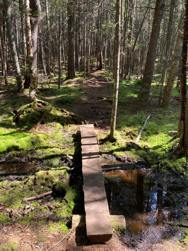
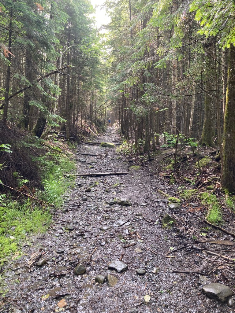
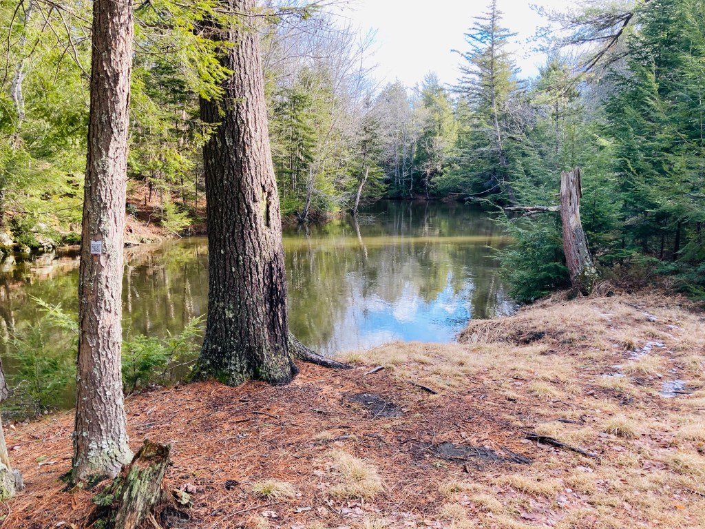
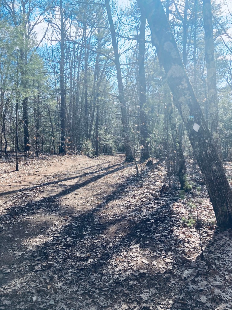
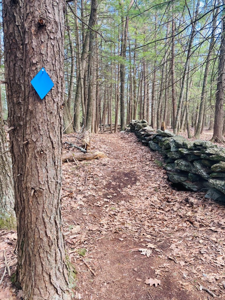
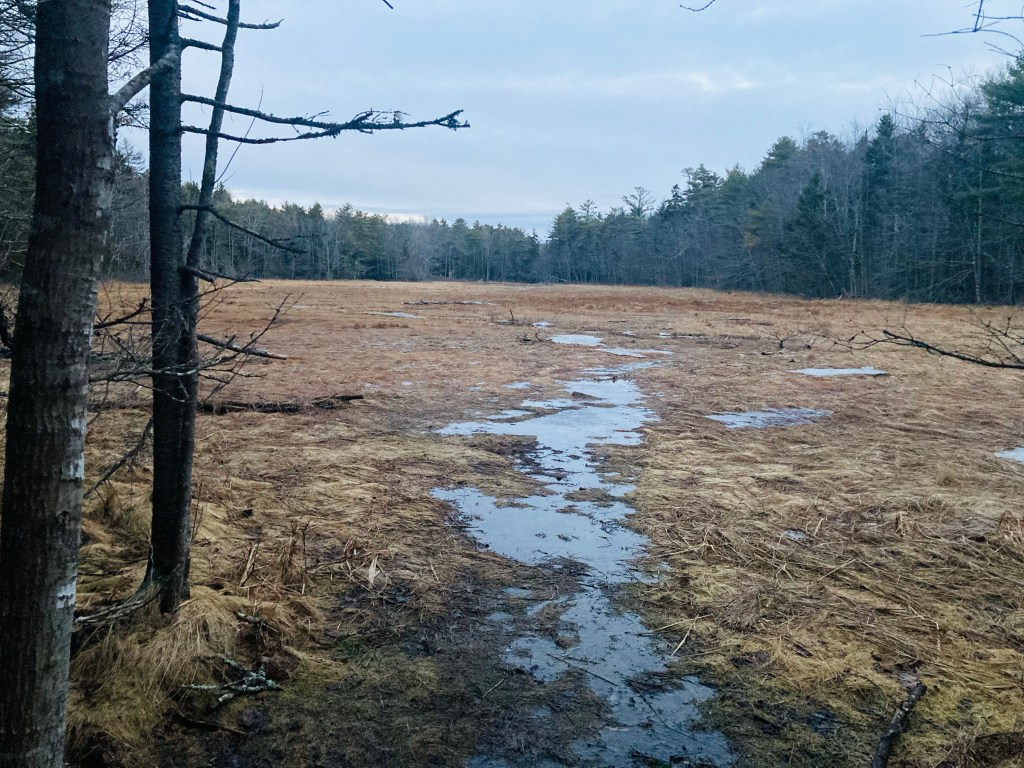
It’s not easy to get to Wabassus Mountain (844 ft), part of the Downeast Lakes Land Trust (DLLT) in central Washington County. We stopped there to hike this short (1.5 mile total out/back) trail off Wabassus Mountain Road on the way to Grand Lake Stream. Township (T) 43 Machias District (MD) of Bingham’s Penobscot Purchase (BPP) is the clunky name of the mountain’s location, a naming remnant of old Massachusetts maps used to delineate areas of land survey. For detailed driving directions from Route 9, check out the DLLT Visitor Guide or the Maine Mountain Guide. Or use your Maine Gazetteer the way it was intended (see Map 35). Either way, don’t rely on cellular signal-based GPS, because you won’t have it. A small (2-3 vehicle) parking area is immediately on the left before the trailhead.

Wabassus Mountain trail, Washington County, ME
Continue reading

Ingersoll Point Preserve (Addison)

Ingersoll Point Preserve, Addison, ME

Sometimes Downeast Maine, particularly Acadia, can feel overrun by an invading force in the late summer, one equipped with out-of-state SUV’s and brand-new hiking gear. Even the formerly lesser-known Bold Coast oases of Lubec and Cutler seem to be, well, a little compromised in the crush of tourists seeking an authentic Maine experience. Ingersoll Point Preserve in Addison is a 145 acre corner of forest and ocean that has maintained its quiet pine coast aesthetic, thanks to its location, and the stewardship of the Downeast Coastal Conservancy. Trail maps and a brochure can be found on their website, or in the excellent book Maine Hikes Off the Beaten Path. Trailhead parking is at the rear of the South Addison Community of Christ Church at 316 Moosehorn Road in Addison, marked by a sign.

Adler Woods Trail, Ingersoll Point Preserve, Addison, ME
Continue reading

Pride Preserve (Westbrook, ME)

Pig looks at the fall foliage on the 1-Mile Blue Loop, Pride Preserve, Westbrook, ME

Pride Preserve in Westbrook, Maine, is a relatively new 188 acre forest and wetlands preserve, opened in 2020 and owned and managed by the Presumpscot Regional Land Trust (PRLT) (see map and info here). According to PRLT, it is “the largest conserved forestland in urban greater Portland.” The 3.5 miles of trails on the Preserve connect to Falmouth’s 63-acre Hardy Road Conservation Area trails. Parking is located in a lot off Duck Pond Road, as well as overflow on the side of Duck Pond Road itself. The 1 mile and 1.5 mile loop trails, joined by a connector, lead to a .5 mile out-and-back spur, and there are ponds, cascading streams, meadows, and a historic cemetery. Pride Preserve is open from dawn to dusk, and dogs are allowed on-leash or under voice control. Hunting is, however, permitted in October and November, so wear blaze orange in those months.

Blue Loop Trail, Pride Preserve, Westbrook, Maine
Continue reading

Fish River Falls (Fort Kent)

Entry to Fish River Falls Trail at the end of the runway, Fort Kent Municipal Airport

The Fish River, popular with fishermen and boaters, completes its run north to the St. John River in Fort Kent in a line roughly parallel to Route 11 in Aroostook County, Maine. This portion of the road, beginning at Portage Lake to the south, is the Fish River Scenic Byway. According to a link on the site of the Northern Door Inn, a quiet, clean hotel where we spent a couple nights, locals bring inner tubes to the base of Fish River Falls to float down the approximately four miles to Fort Kent. But even if you don’t have the time or equipment to navigate this stretch, the hike to Fish River Falls is an easy twenty to forty minute round trip with great views.

Descending Fish River Falls Trail, Fort Kent, ME
Continue reading

Baldface Circle Trail (Chatham, NH)

Bicknell Ridge and beyond, from Baldface Circle Trail, Chatham, NH

The Baldfaces (North and South) are a difficult but rewarding hike just over the (Maine) border in Chatham, NH, part of the White Mountain National Forest (WMNF). I used the Baldface Circle Trail, with stops at the spur for Emerald Pool, and a short diversion through Chandler Gorge, for a challenging 10.1 mile clockwise “lollipop” loop that took a little under five hours, and hit the peaks of South Baldface (3,570 ft) and North Baldface (3,610 ft). To navigate, I used my well-worn AMC White Mountain Guide, with the Baldface Loop on Map 5. A digital map is also available on the WMNF U.S. Forest Service site. The well-maintained parking area (with toilets) is located on NH route 113 in Chatham, with parking for approximately fifteen cars, and is usually full on summer days and weekends.

Emerald Pool, Baldface Circle Trail, WMNF, Chatham, NH
Continue reading

Evergreen Trails (Portland, ME)

Evergreen Loop Trail, Evergreen Cemetery, Portland, Maine

Evergreen Cemetery in Portland is Maine’s second largest, checking in at 239 acres. The combination of green space habitat and (relative) solitude make it a popular birdwatching and walking area, located directly behind the University of New England (UNE) Portland Campus. The small ponds at the northwest edge of Evergreen are places to observe tadpoles, frogs, newts, turtles, snakes, large snapping turtles, and waterfowl throughout the warmer seasons. In addition to the paved, gravel, and dirt roads of the cemetery itself, Evergreen is traversed by Portland Trails’ extensive network, including the 10-mile Forest City Trail, which runs from the Presumpscot River to the Stroudwater.

Ledges in Evergreen Woods, Evergreen Cemetery, Portland, Maine
Continue reading

Step Falls Preserve (Newry, ME)

Afternoon sunlight on Wight Brook, Step Falls Preserve, Newry, Maine

Step Falls Preserve is a twenty-four acre parcel hugging the banks of Wight Brook in Newry, Maine. We visited at the beginning of May, during a road trip to see waterfalls during the spring melt. In the summer months, the shallow pools and falls are refreshing places to cool off with a dip, wade, or swim. Parking is available in a lot off Bear River Road/Route 26. The 3/4 mile trail to the top of the falls is fairly easy, with some roots and steep spots towards the end. Due to the popularity of this spot, it often fills up quickly on weekends and nice summer days.

Continue reading

Cathance River Nature Preserve (Topsham, ME)

Cathance River Trail (West), Topsham, Maine

The Cathance River Trails are a surprising green space, with a wild river ravine, in Topsham tucked next to the Highland Green development, within the sound of I-295. These are part of the Cathance River Nature Preserve, a 235 acre preserve composed of private land held in a conservation easement by the Brunswick-Topsham Land Trust. Closed due to COVID-19 restrictions for much of 2020, they are now partially re-opened, as of April 2021. Up-to-date information regarding the best places to park and map with trail closures can be found on the Cathance River Education Alliance webpage. The trails described in this post are mostly open. Dogs are not permitted in Cathance River Nature Preserve.

Cathance River Trail, Topsham, Maine
Continue reading

Knight’s Pond Preserve

White Trail, Knight’s Pond Preserve, Cumberland, Maine

Knight’s Pond Preserve is a 334-acre preserve that straddles the town lines of Cumberland and North Yarmouth, with the 46-acre Knight’s Pond as the focal point. Parking is available in a small lot at 477 Greely Road Extension just short of Mill Brook, and on the street at the end of Greely Road Extension. The most current map is located on the Royal River Conservation Trust (RRCT) website, and includes more details and place names than the printed ones you will likely find in the kiosk at the parking lot. The property is managed by the Towns of Cumberland and North Yarmouth, the Chebeague & Cumberland Land Trust (CCLT), which has a printable scavenger hunt for kids, as well as the RRCT. The trails are well-marked and maintained, with trail map kiosks at most intersections.

Blue Trail leading to Bobcat Mountain, Knight’s Pond Preserve, Cumberland, Maine
Continue reading

Cliff Trail (Harpswell, ME)

Henry Creek lookout, Cliff Trail, Harpswell, ME

Note from Town of Harpswell website: from May 1, 2021 to October 1, 2021, the first 1/2 mile of Cliff Trail will be closed to hikers due to a Maine Conservation Corps construction project to make it ADA accessible. The remainder of the trail is open. Park at the Town Office (263 Mountain Road) and walk up the path behind the building to access the trail entrance/exit on Community Drive. There will be temporary signs and maps installed to help hikers with the changes while the work is being completed.

The Cliff Trail in Harpswell is an approximately 2.3 mile loop, with expansive views of the Long Reach, a long finger of a bay extending from Casco Bay inland. The popular trail, with parking at the Harpswell Town Office on Mountain Road, is well-marked and maintained by the town of Harpswell (see printable map and description here at town website). I started the white-blazed trail clockwise at sunrise on a mid-January morning. It was dark and a little muddy, with plenty of roots to trip over, but no snow had accumulated, and no traction devices were necessary. Strawberry Creek, to the west of the trail, narrows to a quiet, scenic cascade, and the trail turns inland.

Cliff Trail, Harpswell, ME
Continue reading