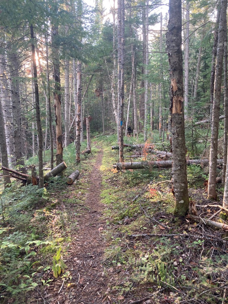
Thorne Head, the northern portion of Bath extending into the confluence of Whiskeag Creek and the Kennebec River, can be reached by foot from downtown Bath, over a Bath Trails and Kennebec Estuary Land Trust (KELT) network that is surprisingly wild for Midcoast Maine. On the first day of May, I created a 9.4 mile lollipop loop hike incorporating the Whiskeag Trail (see map here), Thorne Head Preserve’s Narrows Trail, Trail Connector, Overlook Trail, Ravine Trail (see map here), and an unmarked, unmaintained path leading back to the Whiskeag Trail, for a little over three hours of forest and water views and birds. All portions of the trails described are open from dawn to dusk, and leashed dogs are allowed. While the word sounds similar to “whiskey,” according to Bath Trails the trail takes its name from an Abenaki word meaning “a creek that runs nearly dry at low tides.” The Whiskeag Trail can be accessed from multiple points, including KELT’s Thorne Head Preserve, Sewall Woods, Oak Grove Cemetery, and McMann Athletic Fields. I chose to depart from the southern terminus, at the Bath YMCA, 305 Centre Street, where there is plenty of parking. The flat, wide pine-covered trail marked with blue blazes starts behind the YMCA and moves over a small ridge, where I heard the welcome morning call of a hermit thrush.

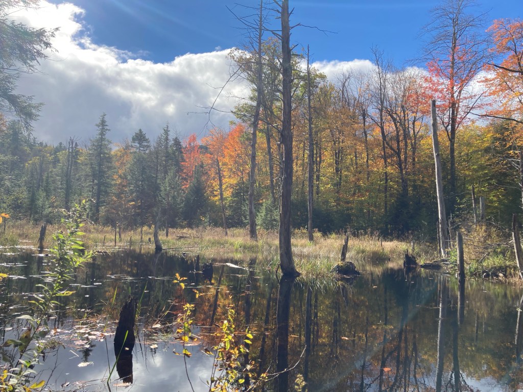
Shortly after a marshy area, the Whiskeag Trail emerges at Congress Street at a pedestrian crosswalk by the Edward J McMann outdoor recreation area. The trail skirts the east side of the baseball diamond, then passes back into the woods. Across Old Brunswick Road, the trail curves left through Oak Grove Cemetery, crossing the railroad tracks over an attractive bridge dedicated to John C. “Jack” Hart, Jr. A short distance after the bridge, follow a small blue sign on the left marking the Whiskeag Trail, which winds down to Whiskeag Creek through a series of switchbacks. Bikes are allowed on this trail, and their frequent use can be seen through tracks in the spring mud. Here, the quiet creek was regulated by a sturdy beaver dam, and wider portions gave way to a marsh, where red-winged blackbirds called, and Canada geese sailed lazily away from my footfalls on shore.

A mossy cliff and rock face marked the crossing of power lines, and in this gap sat a bench overlooking the creek. The spring return of birds made the Whiskeag marsh an improbably tableau, reminiscent of a children’s picture book, where geese, cormorants, herons, and ducks assembled in groups for identification. As the Whiskeag Creek got closer to mixing with the Kennebec, it grew flatter and wider. By overhanging rocks I noticed a safety feature of the trail, brightly marked alphanumeric emergency cards spaced out along the trail to tell someone in a medical emergency where they are, and how to communicate that quickly to emergency services.

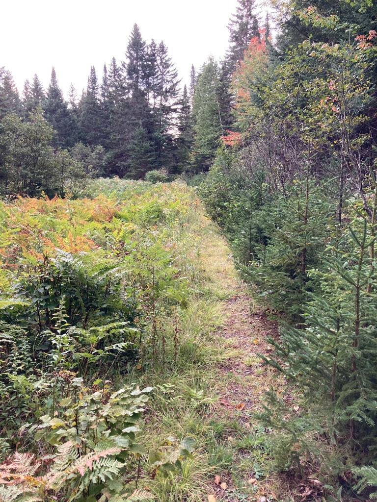
The trail then moves back inland through a pine and oak forest, winding across small plank bridges and over and around streams and vernal pools. A brief climb up and across a ridge by power lines takes the trail behind the Bath Public Works, then down and across Oak Grove Avenue. The Whiskeag Trail narrows and moves through a right-of-way next to residential properties, and then along the edge of a large horse farm, before crossing and briefly joining Whiskeag Road. On Whiskeag Road, walk east (right), until reaching the trail again on the left. Here, a large, boisterous pileated woodpecker was at the top of the telephone pole marking the re-entry to the Whiskeag Trail. Shortly after this point is a turn-off to the Sewall Woods parking lot, which you could use to break up this hike into chunks or start from a spot farther north.
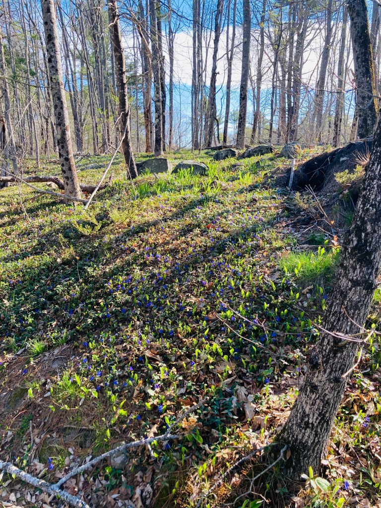
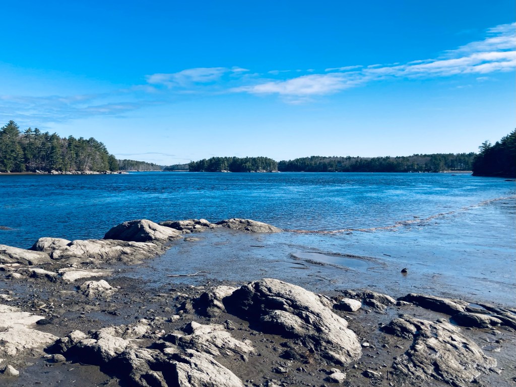
A series of KELT digital scan signs marked Sewall Woods (see map here), each with facts about the natural surroundings from the Digital Trail Project and natural forestry methods. As I climbed through the more open forest, I saw purple spring flowers, and started hearing the sounds of gulls, signaling the approach to the Kennebec River area. The trail finds Whiskeag Creek again, skirting the water’s edge and muddy flats until a narrow point where you can see the confluence with the Kennebec. I began to hear people and dogs again, as well, as I approached the more-trafficked Thorne Head Preserve.