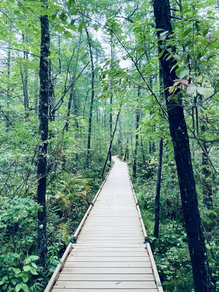
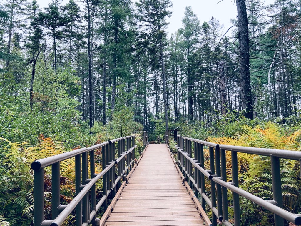
The Orono Bog Boardwalk, adjacent to the Bangor City Forest, is located off Stillwater Avenue just north of the Bangor Mall area. The easy, flat 1-mile Boardwalk, celebrating its 20th year in 2022, is a joint venture of the University of Maine, the City of Bangor, and the Orono Land Trust. Updates on conditions and opening hours are available through the Boardwalk’s Facebook page. The Boardwalk is closed during the winter, and from the designated opening day in the spring through Labor Day, open from 7 am to 6:30 pm, with hours gradually getting shorter in September and October until closing for winter the Sunday after Thanksgiving, when it is 8 am to 3:30 pm. We had visited the Boardwalk before as a stopover to stretch our legs on the way back south from Katahdin.
Orono Bog Boardwalk, Orono, ME
On a rainy late September morning, I parked at the Bangor City Forest parking lot on Tripp Road and turned immediately right onto the wide flat East-West Loop Trail through the trees. It was quiet, except for red squirrels, and a little over a quarter mile to the Boardwalk, the entrance situated behind an information kiosk, a picnic table, and a bike rack. There are restroom facilities available, close by and clearly marked. The Boardwalk elevates over the bog, which is filled with large, lush ferns, wide leaves of skunk cabbage, and ash and maple trees perched on hummocks, with periodic benches to sit and watch the plants and wildlife. I heard but didn’t see a white-breasted nuthatch and a hairy woodpecker.
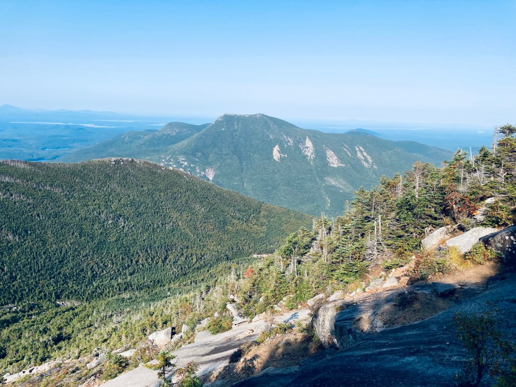
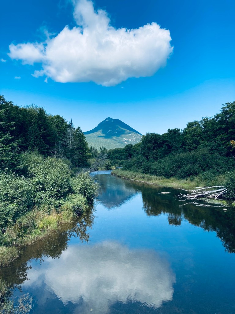
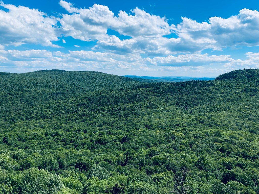
View of North Traveler from Barrell Ridge Trail, Baxter State Park, ME
On the last day of a mid-September weekend hiking trip to Baxter State Park, I snuck in a morning hike before I packed up my South Branch Pond campsite, heading to Barrell Ridge (2085 ft) via Middle Fowler Pond Trail. I got the route for this moderate six mile out-and-back hike from Hiking Maine’s Baxter State Park and the suggestion of the South Branch Pond ranger. You can navigate using the South Branch Pond printable map from Baxter State Park. The trailhead is shared with the Ledges Trail and South Branch Nature Trail, a short walk north from South Branch Pond Campground, and branches off toward Middle Fowler Pond after about a third of a mile.
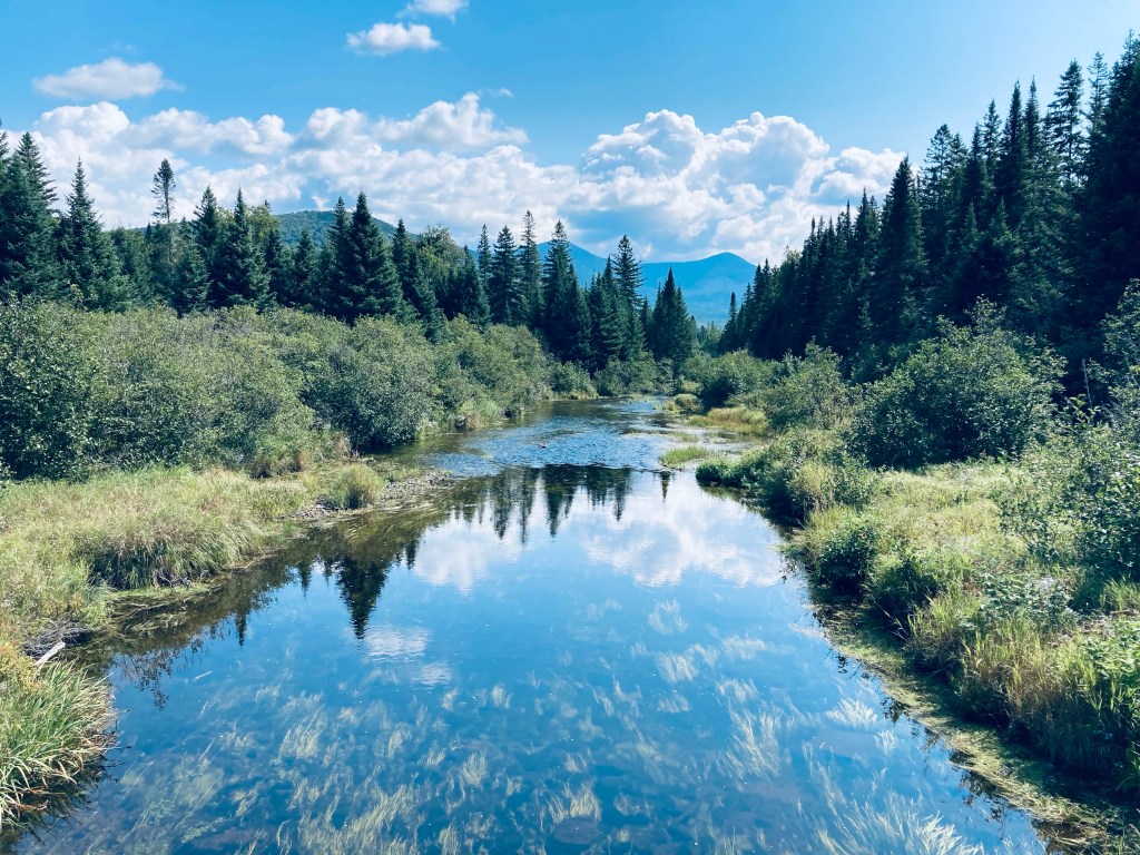
View northwest from ledges on Middle Fowler Pond Trail, Baxter State Park, MEContinue reading →
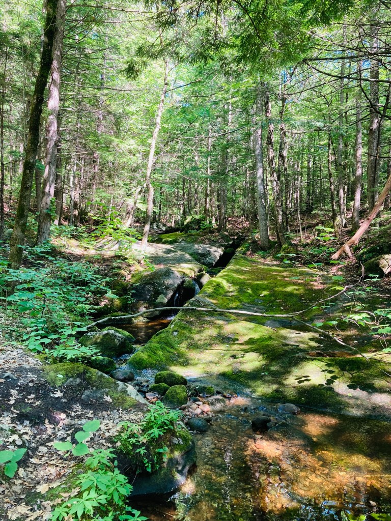
Railroad Trestle Bridge, Machias River Preserve, ME
Machias River Preserve, located on the banks of its namesake, is a 917-acre area protected by the Downeast Coastal Conservancy (DCC), part of the Two Rivers Conservation Area (see description and map here). On a late September day, I used the parking area on 1A in Whitneyville to walk a lollipop-type loop using the Money Island, Homestead, and Hemlock Trails of about 3.3 miles, taking about an hour and twenty minutes. The Machias River Preserve can also be accessed from a small parking lot off 1A in the town of Machias. According to DCC’s site, “Machias” comes from a Passamaquoddy word meaning “bad little falls,” and I had taken this loop on before as part of the Bad Little Trail run sponsored by DCC and Bold Coast Runners.
Abandoned car on Money Island Trail, Machias River Preserve, Whitneyville, ME
Shortly after the entrance from the small parking area to the blue-blazed Money Island Trail, I saw the telltale signs of bushwhacking and circles in the grass indicating deer had slept here last night. I was almost immediately hit with the pleasant scent of wet pine and sweet fern. The trail narrowed, leading into a root-covered path along a healthy rust colored stream. At about a third of a mile in, just after the hulk of an old, abandoned car, a small side trail leads to the left to a series of pleasant moss-covered cascades where black-capped chickadees serenaded from the surrounding trees. Shortly after returning to the main trail, a small wooden bridge leads back over the stream, and a small spur trail can be taken to the right, for views of the Machias, flowing around Money Island in the middle of the river. The familiar clicking call of a belted kingfisher filled the cool river air.
Waterfall on Money Island Trail, Machias River Preserve, MEContinue reading →
Sun rising on the way up Mount Coe, Baxter State Park, ME
Having explored other difficult but rewarding long hikes in Baxter State Park, I decided to finally try a challenging early fall hike of Mount Coe (3,760 ft), South Brother (3,963 ft), and North Brother (4,052 ft), a 10.1 mi loop (extendable to about 12.5 mi if you include Fort Mountain in the spur hike from North Brother). This exhilarating trek begins with its most difficult ascent first, and hits peaks (including a 4,000 footer) that allow for views on a clear day in all directions of Baxter State Park and its surroundings. I started this hike based upon a route recommended by the book Hiking Maine’s Baxter State Park, a relatively new volume which I have dog-eared, bookmarked, and annotated in pen/pencil. As recommended in that book, every other guidebook, and the Baxter State Park ranger I consulted, I took the loop counterclockwise, in order to tackle the Mount Coe slides uphill, rather than trying to descend (more on that later). To navigate, you can use the free downloadable Kidney-Daicey map from Baxter State Park, or the more durable (my choice) Map Adventures’ Katahdin Baxter State Park Waterproof Trail Map.
Clear brook along Mount Coe Trail, Baxter State Park, ME
The parking area for Mount Coe and the Brothers is on the Park Tote Road just south of Slide Dam picnic area, on the east side of the road. I took a long, quiet morning drive south from South Branch Campground, with the windows down to breathe in the foggy morning dew and listen for about an hour. No moose crossed in front of me, but I saw several ruffed grouse scurrying into the undergrowth lining the Tote Road. At the parking lot, across from Nesowadnehunk Stream, a large hiking group was meeting and beginning to pack up breakfast and coffee in preparation for a hike in smaller pairs and trios. The hike started easily enough on a relatively flat grade, with the trail going across a couple low streambeds. The temperature began to increase as I climbed up and out of the valley, ascending a narrow staircase with the pretty runoff of the stream to my left. At about 1.2 miles, I reached the intersection of the Marston and Mount Coe trails and turned right towards Mount Coe. Almost immediately, I started seeing moose droppings. The trail was flat and mossy, almost downhill at the beginning, with quiet, green Eden-like surroundings of mossy hummocks and clear, cascading brooks.
View of Doubletop and beyond from Mount Coe slides, Baxter State Park, ME
I had arrived at the trailhead about an hour after sunrise, but the sun had still not summited the peaks to the east, so when it did, at around 8 AM, it peered over like a death ray. So, when the trail crisscrossed the cool stream and moved uphill, I missed the air conditioning that the cold running water had provided. Here, I passed a friendly group of three on my way to the final ascent of Mount Coe, then another, even more amiable group of three making their way up the slick, steep slides. It’s difficult to find grumpy people at Baxter State Park. Back to the slides – they were as advertised, difficult, slick with morning dew and runoff, and sharp (I left some blood there on a handhold). I had planned to only use my hiking poles, collapsed and stowed on my pack, on the descent, but thought twice about that plan while navigating the steep, slippery surface. I can’t imagine the difficulty of climbing down this stretch on coltish, tired legs on a clockwise hike. Thankfully, the slide gave way to a thin path through thin spruce with roots and trees for handholds, leading to the Mount Coe summit, with unbelievable views in all directions.
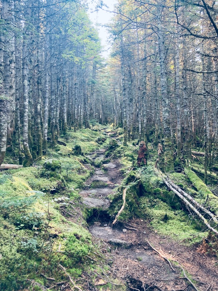
Trail up to South Brother summit, Baxter State Park, MEContinue reading →
View of Doubletop Mountain from Nesowadnehunk Stream bridge to the south near Kidney Pond Campground, Baxter State Park, ME
Doubletop Mountain (north peak 3,489 feet, south peak 3,455 ft) guards the western edge of Baxter State Park (BSP), its tufted, twin summit ridge looming like the profile of a slumped, pudgy Dark Knight. The views of this signature BSP mountain are impressive, as its unique profile and steep drops make for a formidable photo over Nesowadnehunk Stream or from the rugged peaks to its east. On a sunny mid-September afternoon, I ascended it for the first time, using a challenging 7 mile out-and-back route from the parking area at Nesowadnehunk Field Campground, which took me about three hours and forty minutes.
Nesowadnehunk Stream from bridge at Nesowadnehunk Field Campground by Doubletop Mountain Trail, Baxter State Park, MEContinue reading →
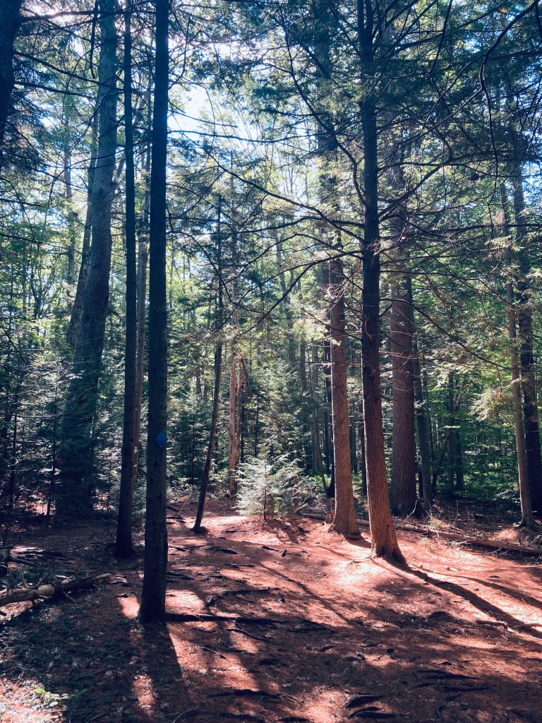
Winnick Woods is a 71 acre parcel of land owned by the Town of Cape Elizabeth, part of the Cape Elizabeth Greenbelt, which has a page with maps and a description. The trailhead is at a small gravel parking area with a map kiosk and space for eight vehicles off Sawyer Road. Be forewarned – the maps, including the ones posted along the trail, are not good ones. I used AllTrails to navigate an easy 3.8-mile Winnick Woods Long Loop that covered most of the preserve, and used the Cross Hill Trails to extend the hike, which took about an hour and forty minutes, with plenty of time to stop and examine the varied flora.
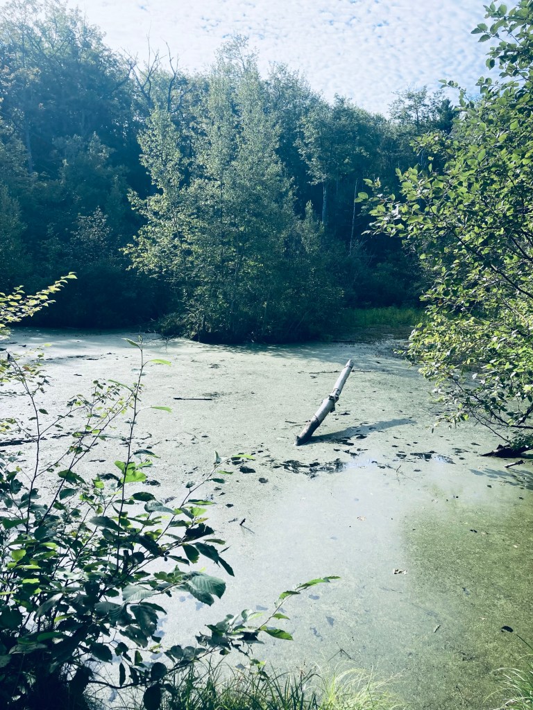
Stagnant pond, Winnick Woods, Cape Elizabeth, ME
This winds past some adjoining backyards, follows power lines in places, and crosses Cross Hill Road twice, but stays on established trails. Like many trails designed for mountain bikes, there are multiple twists and turns and intersections to maximize mileage and track length, which can be confusing for hikers and bikers alike. We encountered many mountain bikers and stepped briefly off the path to allow them to pass. The trail was also populated by trail runners and dog walkers.
Single-track through junipers on Winnick Woods Long Loop, Cape Elizabeth, ME
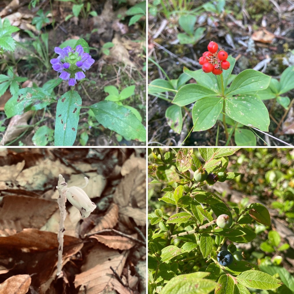
The trail begins with a wooded path (the White Trail), opening on a large meadow, where we saw (and heard) a large red-tailed hawk patrolling the skies above. We then turned left onto the Yellow Trail, which crosses the north side of a small, stagnant pond, and passes behind a neighborhood through a mixed forest. Throughout the early September hike, we saw a wide variety of berries, trees, shrubs, late summer flowers, colorful mushrooms, and birds. Regarding the fern family alone, we identified bracken fern, cinnamon fern, eastern hay-scented fern, Japanese painted fern, and Christmas fern. Nuthatches and brown creepers serenaded the woods and foraged along the tree trunks.
Winnick Woods Long Loop, Cape Elizabeth, ME
The marshy area to the east of the loop signals a move to higher ground along power lines, and the beginning of the Cross Hill Trails, lined with juniper and wildflowers. Here, a cacophony of catbird sounds greeted us in the lower-lying areas, before turning west and north to return to the Winnick Woods Trails, where the forest opens up to sunlight. A flat, easy walk brought us back to the start of the hike.
Long Mountain (1,828 ft), located in Greenwood Maine, partially within the 12,000-acre Crooked River Headwaters conservation land, is accessed by a relatively recently completed lollipop-type loop trail, opened in the fall of 2021. We hiked this loop, listed as 5.5 miles, in early July. Given the many spur trails to overlooks, my recorded mileage was a bit longer, about 5.8 miles, for a little over two and a half hours. The Long Mountain Trail is accessed from a trailhead with a relatively large parking area off Vernon Street in Bethel (GPS is 1268 Vernon Street, Bethel, ME) and diverges to the left from Bacon Hill single-track biking trails. The size of the parking lot owes to its former role as a log yard.
Board walkway, Long Mountain Trail, Greenwood, ME
A trail map is posted to the kiosk at the parking area, but difficult to find online. The trail itself is very well-marked and maintained, and I used the AllTrails app to navigate. As much of the summer of 2022 has been, it was a hot day, and the forested trail offered shade through much of the hike. The first part of the trail moves over a series of boardwalks through some marshy areas, then crosses a logging road by Mill Brook. Here at the edge of the road, we saw a large, tattered Luna moth near the end of its lifecycle.
Mill Brook, Long Mountain Trail, Greenwood, ME
The trail then moves upstream past clear, cool Mill Brook, which is covered in moss and flows through large rock slabs. At about .9 miles, the trail splits into a lollipop loop, which we took clockwise, heading up first to the North Ledge. This is a challenging hike, heading steadily uphill until levelling out a bit, and becoming a ridge hike between the North and South Ledges. Long Mountain does not have a cleared summit with views, but the viewpoints from the ledges are outstanding.
McGaffey Mountain (1,288 ft), named for 19th century Mount Vernon resident Charles McGaffey, is the highest point in Kennebec County, and the trail to its wooded summit shares a Kennebec Highlands parking area in Rome with the trail to Round Top Mountain. The “A” Trail, a multi-use trail, diverges from the trail to Round Top a little less than a quarter mile in, in an unsigned left turn (Round Top Trail, however, is marked). It was quiet on the early July morning I visited, and I only saw two others, who were riding mountain bikes.
Flora along the A Trail, McGaffey Mountain, Rome, ME
I navigated using AllTrails, but a printable trail map is available from the 7 Lakes Alliance, which maintains the trails. A map is also inside the Maine Mountain Guide. AllTrails listed this hike as “Hard,” which relates to the distance (9.6 miles) and time, rather than the elevation. The A Trail is mostly unmarked, but provides a clear path, shared by mountain bikes. Like any mixed-used trail, it is graded relatively flat, and made to move quickly. At just under a mile, the trail crosses a logging road or ATV trail, and at about 1.3 miles, another old logging road, and passes over a moss-covered brook.
Viewpoint from A Trail, McGaffey Mountain, Rome, ME
The series of switchbacks heading up the mountain coincided with the beginning of hermit thrush songs. At about 3.3 miles, there is an open overlook looking east over Long Pond. The trail proceeds over rolling terrain, including sunlit boulders and blueberries, until reaching the summit, marked by the wooden handle of a tool protruding from a rock cairn.
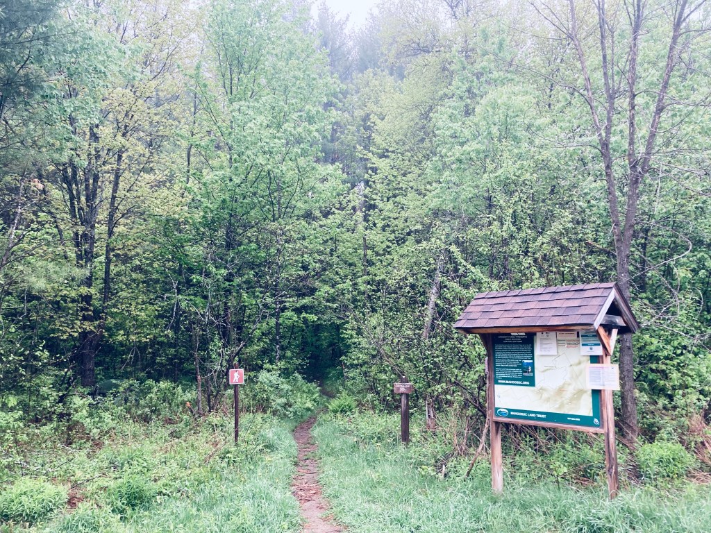
Map kiosk, Puzzle Mountain parking area, Newry, Maine
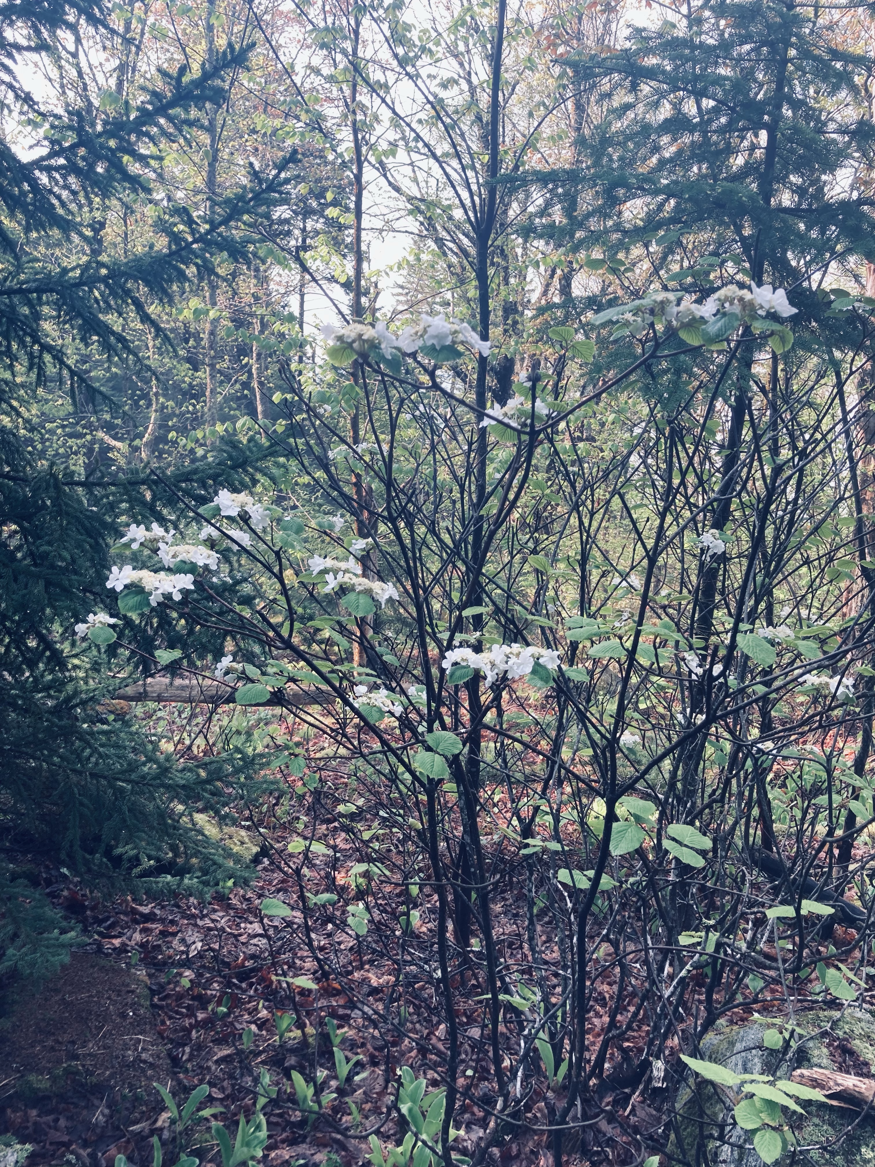
Puzzle Mountain (3,133 ft) in Newry, Maine, is a lollipop-style loop hike incorporating the Grafton Loop Trail and the Woodsum Trail, for an approximately 7.7 mile hike with expansive western Maine views, including Sunday River. The mountain is supposedly named after the discovery of a soft vein of rock on the mountain that was subsequently lost, making it a puzzle. Parking is available at a medium-sized parking area off Route 26, with a map kiosk. A map is available from the Mahoosuc Land Trust, which manages the 485 acres of Stewart Family Preserve land on which Puzzle Mountain sits. A detailed description is also available in the venerable Maine Mountain Guide.
Morning sun, Grafton Loop Trail, Puzzle Mountain
The blue-blazed trail crosses an ATV trail and then after about a quarter mile, a logging road, until beginning to climb by a small stream cascading down. Due to recent late May rains, the trail was slippery and the streams in the surrounding woods seemed to multiply. I knew this presaged a slippery trail with lots of bugs, and the clouds of mosquitoes were unrelenting. Clear spring streams criss-crossed the trail, which was a spooky green tunnel in the morning fog of beech leaves, birch, and hobblebush, with toads hopping out of the way.
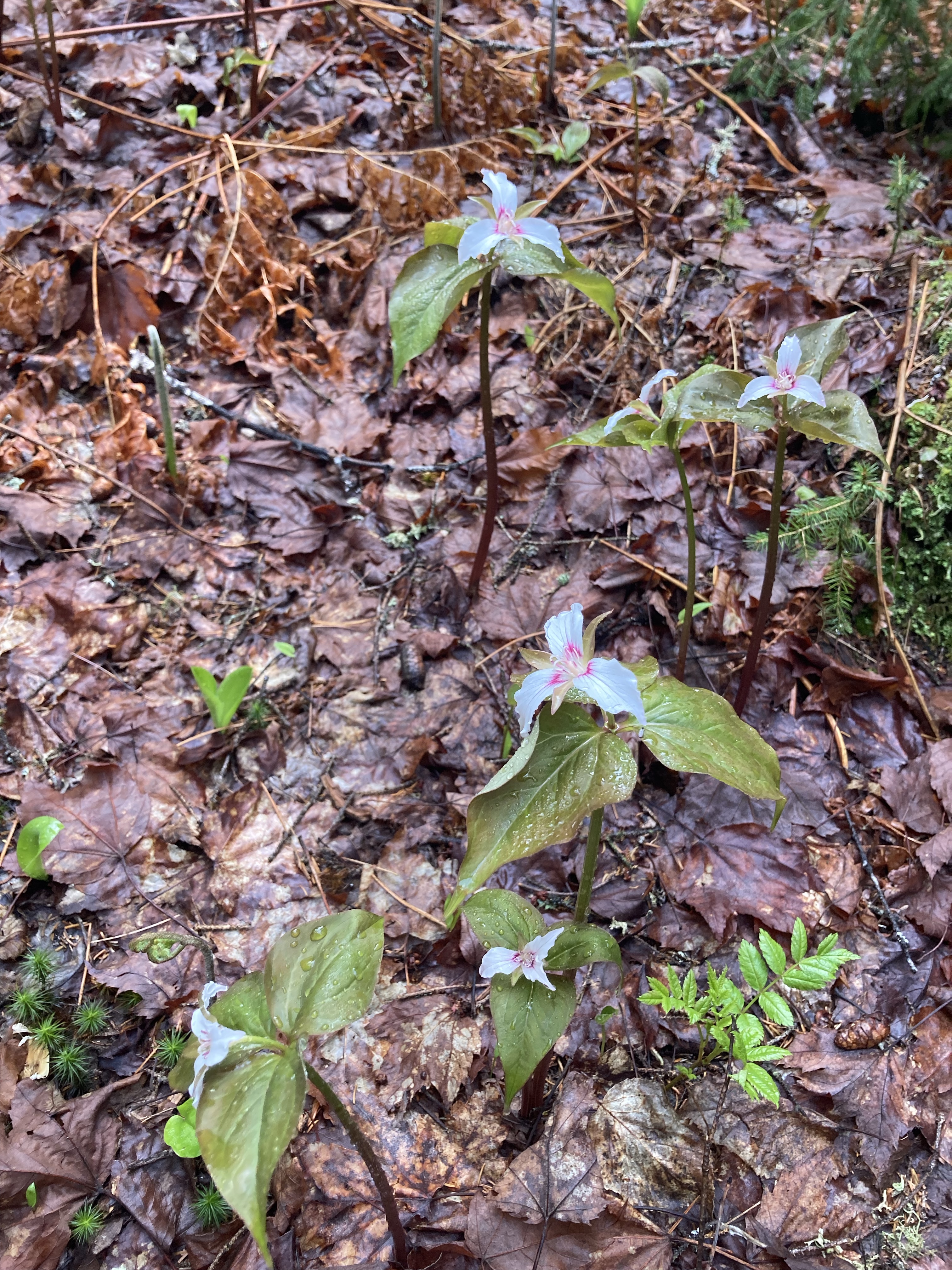
Spring Wildflowers, Puzzle Mountain, Newry, Maine
A Maine Appalachian Trail Club (MATC) register box was there to log the hike a little over 3/4 of a mile in. The sun began to light the way and changed the tunnel to an emerald forest, with trillium and other wildflowers dotting the sides of the trail, awaiting full bloom. This green deciduous forest ended abruptly as the trail circled a ridge with viewpoints over the valley surrounding the Bear River, switching to rocks, moss, and pine.
Reid State Park in Georgetown, Maine is at the southeast corner of the long coastal peninsula formed by the Kennebec River to the west and the Sheepscot River to the east. In 2015, Reid’s popular beaches were named #1 in New England for surfing by the Boston Globe. The fee for day use of Reid State Park, payable at the entry gate, is $6 for Maine residents, $8 for non-residents, and $2 for non-resident seniors. We visited at the tail-end of the winter season, enjoying the peace and quiet. As the parking lot at Todd’s Point was not yet open, we parked by the East Beach, and began our hike there, moving in an easy 4.8 mile clockwise loop covering Reid State Park’s best features in about two hours. The park does have a map, accessible from a link on the state park website. This map, though no doubt made available by a dedicated public servant, is terrible for hiking. First, know that the official map is upside-down, meaning north is at the bottom. Additionally, no trails are listed. Below is a screenshot of the correctly-oriented All Trails route we took, with helpful labels added by daughter.
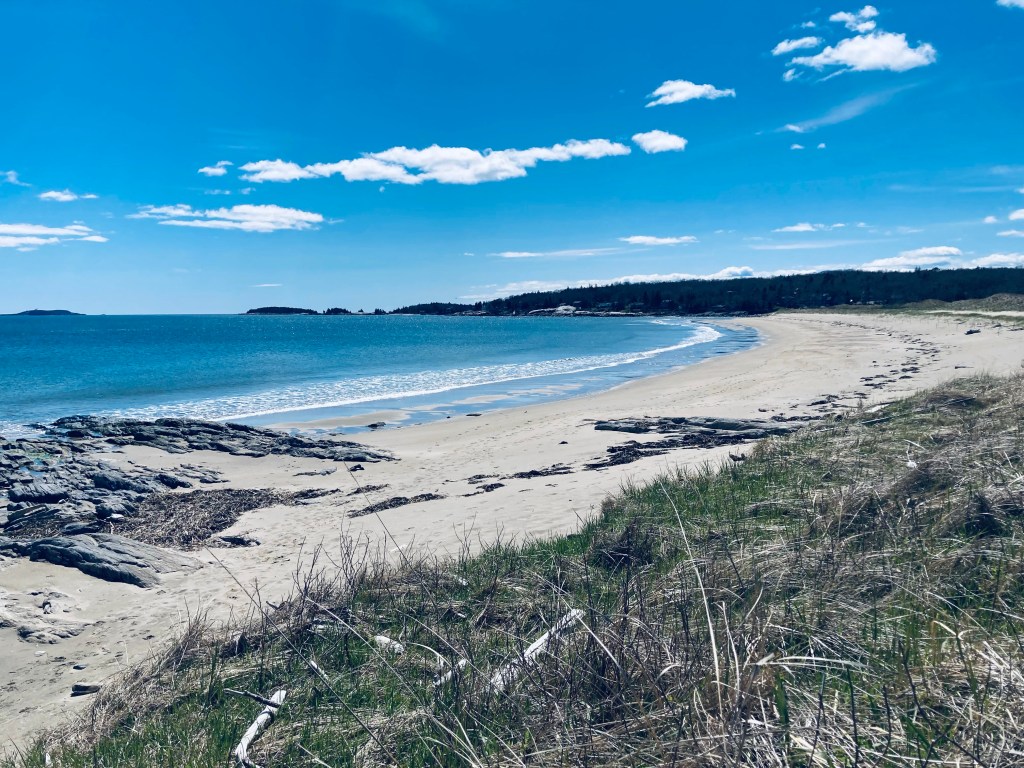
The East Beach has a group picnic site overlooking the ocean, with a large shelter from the sun or inclement weather. Paths connect picnic sites, but to start our hike, we walked south along Griffith’s Head Road, crossing a small tidal inlet of the Sheepscot, where a red-breasted merganser rode the current foraging for food. We quickly arrived at Griffith Head, with the buildings shuttered for the winter (note: a pit toilet here was the only open winter bathroom). We walked down a stone staircase to Mile Beach, and the sun, sea air, and the sound of the waves filled the next mile of our walk along the sand.
Mile Beach from Griffith Head, Reid State Park, Georgetown, ME
The rocky promentory of Todd’s Point rises above the water, with a short climb yielding great views in all directions. Here, the bathing facilities were shuttered, as well, with the empty parking lots between Mile Beach and Half Mile Beach roped off until the summer season. We looked briefly at Half Mile Beach, then walked behind the dunes on a spur trail between the beach and the Little River, emerging with a long view towards Popham Beach.