The Kenduskeag Stream Parkway traces its namesake waterway upstream from downtown Bangor, and is an easy out-and-back lunchtime hike totaling about two miles. You can start the hike from Coe Park (as recommended in AllTrails) or from various entries on Harlow or Franklin Streets, all of which give you about a mile to the trail’s end by the Maxfield Mill Dam. The path, maintained by the City of Bangor, is featured on their website, including a printable map.

I have completed this hike from Coe Park in spring and from downtown in the early fall, and each time it took about 40-45 minutes. From Coe Park, cross Court Street, passing the playground, and going downhill, veer left. In the winter time, with the foliage bare, you can see down from the hillside to the other side of the river.

The trail winds down, doubling back to Morse Bridge across the Kenduskeag. This steel footbridge was installed in 1985 after a wooden version was burned by an arsonist. A word of warning – this trail is a bit dodgy, emblematic of the less-savory substance use and economic underbelly of Bangor. It’s more reminiscent of Stephen King‘s “Derry” than the Bangor tourism brochures would have you believe. A needle receptacle is typically not a point of interest on a hike. But no interactions made me nervous or feel unsafe. I have politely declined an offer from a man to buy my shirt, and exchanged pleasantries with a few people passing the time on benches.
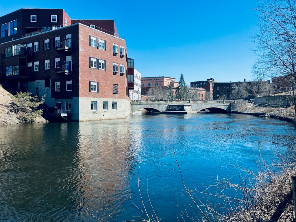
Prior to Morse Bridge and to the right, the parkway will take you along the west bank back towards downtown Bangor, where the Kenduskeag eventually meets the Penobscot. I haven’t seen much wildlife here, but there are fish and ducks, and I heard the calls of song sparrow, American goldfinch, and chickadee. When heading upstream, be careful crossing Harlow Street, as the trail crosses a busy section of road where the crosswalk has been exfoliated by sand and grit, and cars coming down the hill from 95 or heading out of downtown will be unlikely to stop.

At Gateway Park, there is a covered picnic area and an interpretive panel listing Gateway Park as the halfway point, and describing the history of the Kenduskeag. Uphill, trails lead down to the Kenduskeag rapids, for views and fishing. The remains of an old dam also rest on the banks, and in the watercourse. The trail ends at Maxfield Mill Dam, with signs across Valley Avenue indicating the area is closed.