Smalls Falls

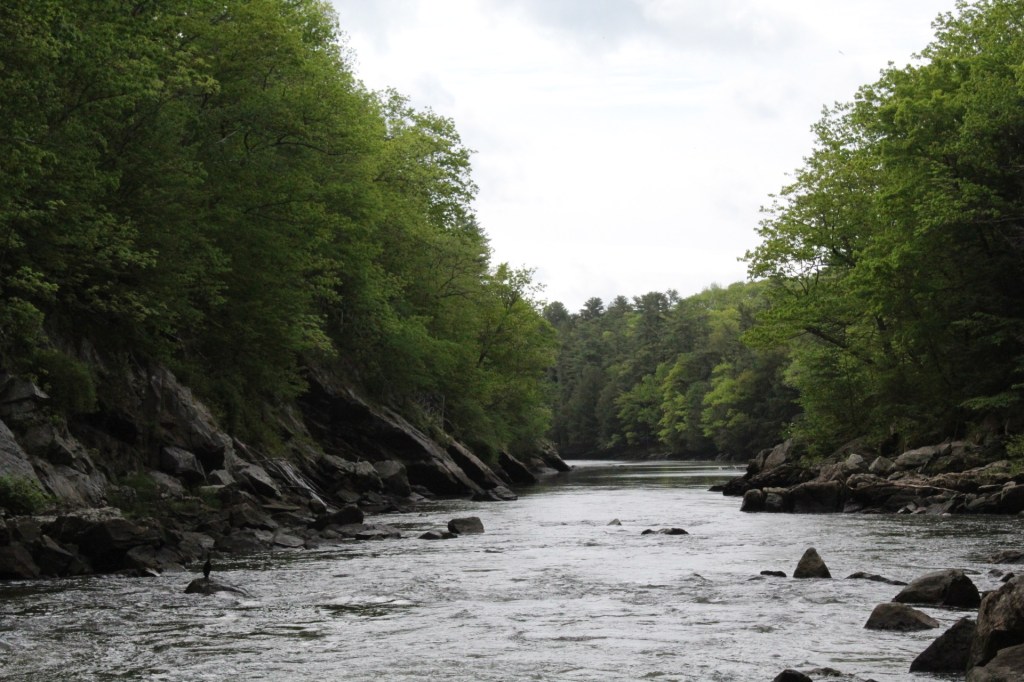
Smalls Falls, Franklin County, Maine

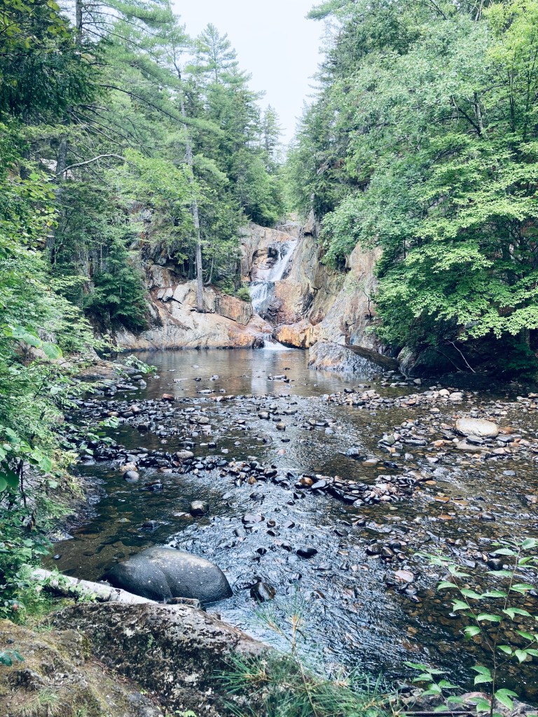
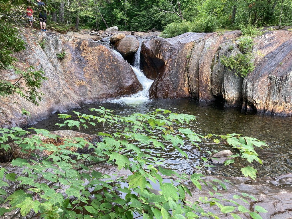
Smalls Falls is a part waterfall hike, part scenic rest area, located along Route 4 in Franklin County, Maine. Plenty of parking, charcoal grills, toilet facilities, and picnic tables along the river make this an ideal place to stop for a picnic lunch, walk around, and even get in the falls and pools to cool off in the Rangeley area.

Smalls Falls, Franklin County, Maine
Continue reading

Tunk Mountain (T10 SD)

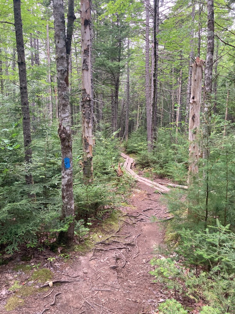
Plank bridges on Tunk Mountain trail

Located between the blueberry fields of Cherryfield and the Downeast coast, Tunk Mountain (1,157 feet) is part of the Donnell Pond Public Lands, managed by Maine’s Bureau of Parks and Lands (BPL), with the upper summit area on land owned by The Nature Conservancy (trail map). Parking for this moderate hike (about 3.9 miles out and back) is on the north side of the Blackwoods Scenic Byway (ME-182) between Sullivan and Cherryfield, consisting of a large lot, a pit toilet, and an information kiosk. This lot does fill up quickly, however, on weekends.

Boulders and caves, Tunk Mountain trail
Continue reading

Ragged Mountain (Rockport, ME)

Georges Highland Path, Ragged Mountain

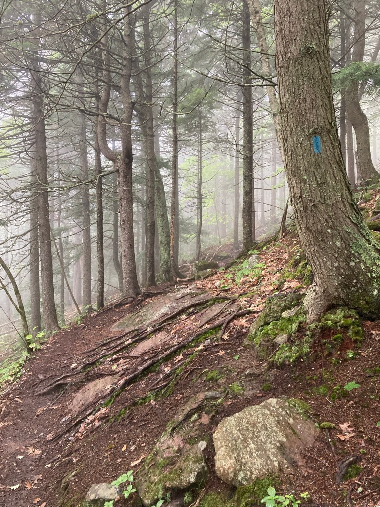
At first, it seemed like it wasn’t the ideal day to climb Ragged Mountain (1,303 ft) in Rockport. The bank of fog covering the Midcoast in the early summer morning obscured any views. But hiking in a cloud has its advantages – on a day eventually headed above 90 degrees, a chill mist over the George’s Highland Path (GHP) operated like an air conditioner, keeping us cool on the trail.

Georges Highland Path, Ragged Mountain
Continue reading

Lowell Preserve (Windham, ME)

Lowell Preserve, Windham, Maine

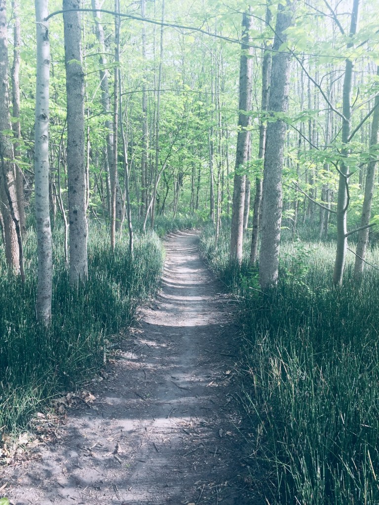
The Roscoe and Elva Lowell Preserve in Windham, Maine is a 308 acre preserve managed by the Town of Windham, close to Little Duck Pond and the Falmouth town line. The trails in the northeast corner of the Preserve connect to the North Falmouth Community Forest. Trailhead parking is at the East Windham Fire Station, 45 Falmouth Road, Windham, and trail map is available here.

Roscoe & Elva Lowell Preserve, Windham, Maine
Continue reading

Raymond Community Forest and Pismire Bluff

The Raymond Community Forest is a network of four trails over 356 acres between Crescent Lake and Pismire Mountain (833 ft), protected by the Loon Echo Land Trust (LELT). I decided to combine all four into a modified loop (approximately 4 miles/1.5 hrs) to try and see as much of the Forest as possible. The lower trails (Spiller Homestead and Grape Expectations) are open to pedestrians and mountain bikes, while the trails to the east of Conesca Road (Pismire Bluff and Highlands Loop) are pedestrian-only. Leashed dogs are welcome.

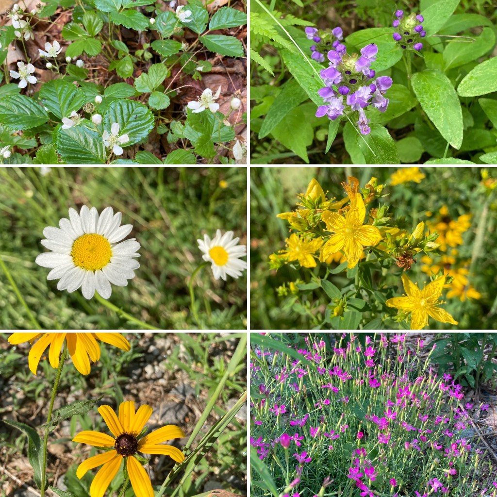
Wildflowers, Raymond Community Forest

The clearly marked trailhead, with parking, is located off Conesca Road in Raymond, and has a large kiosk with a map of the Forest and Raymond Community Forest trail maps available. On the warm July morning I visited, the field by the kiosk was bright with wildflowers.

Continue reading

Shaker Woods Reserve (Alfred, ME)

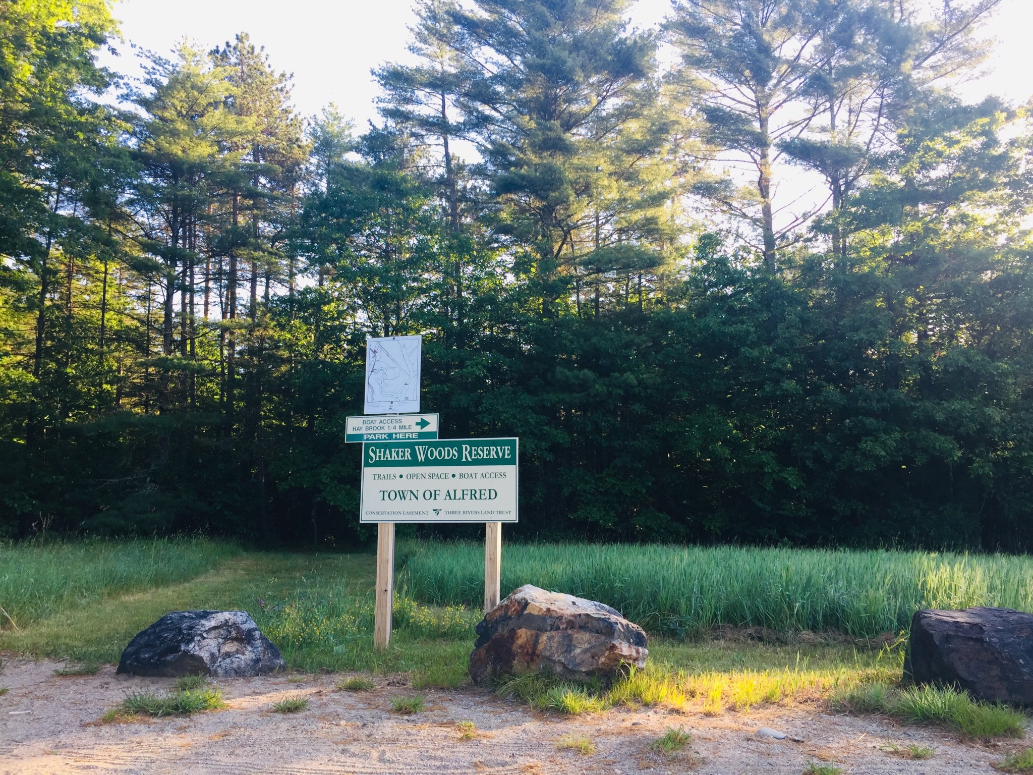
img_7776
Shaker Woods Reserve, Alfred, ME

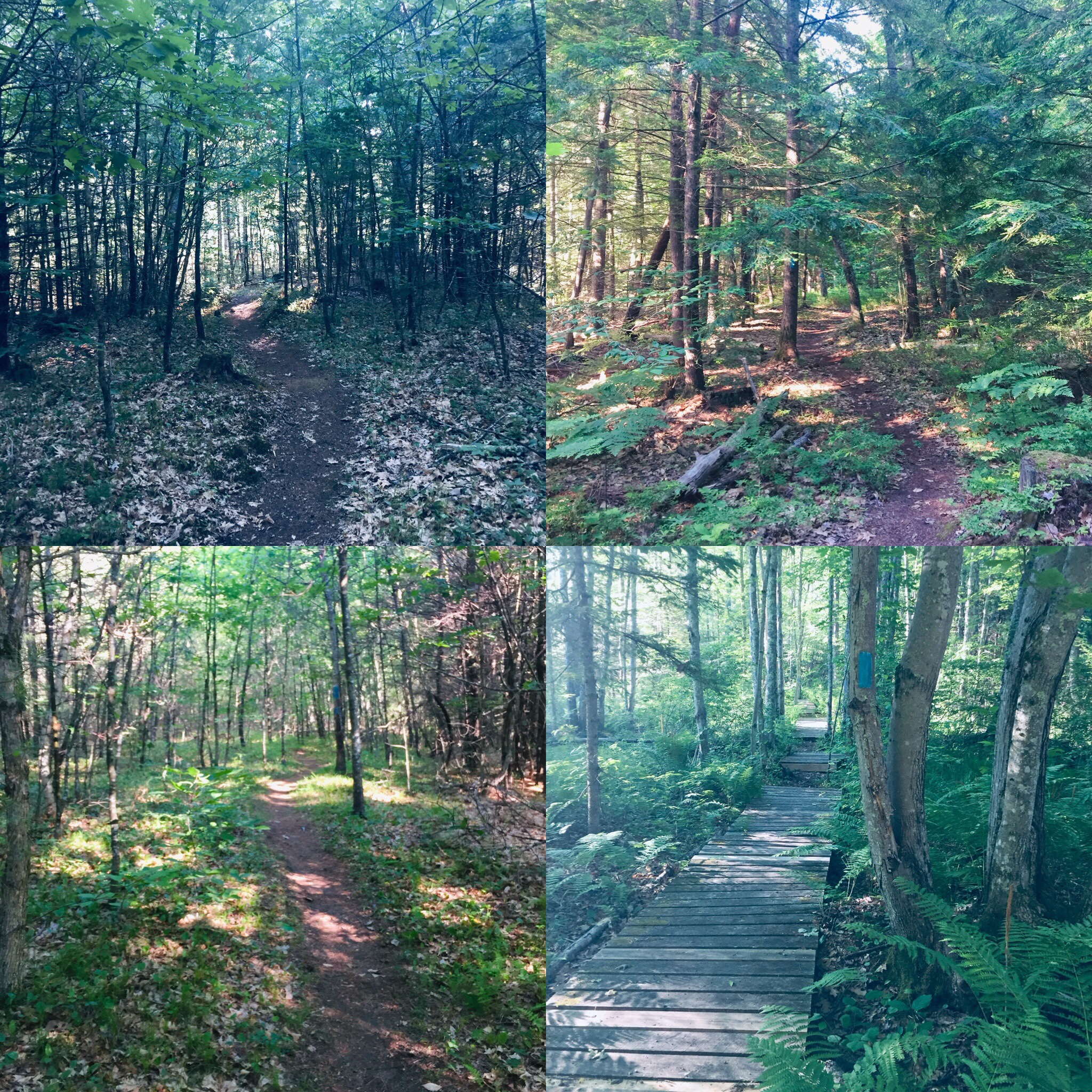
Shaker Woods Reserve is a short lollipop loop hike in Alfred, Maine, about 1.9 miles in total length (appx 45 minutes). The 34-acre Reserve, accessible from a small parking lot on Stone Road, is owned by the Town of Alfred, and is open from dawn to dusk, for foot traffic only (dogs must be leashed). A detailed map is available from Three Rivers Land Trust.

faaa50fc-3c56-4770-b3f6-230852147dd2
Shaker Woods Reserve trails, Alfred, ME
Continue reading

Presumpscot River Preserve (Portland, ME)

Calmer water and a cormorant, past Presumpscot Falls, Portland, ME

The Presumpscot River Preserve, with trails maintained by Portland Trails, consists of 48 acres along the Presumpscot River, which flows from Sebago Lake to Casco Bay, owned collaboratively between the City of Portland, City of Falmouth, Portland Trails and private landowners. This Preserve is accessible from trailheads at Oat Nuts Park on Summit, Hope Lane, Overset Rd, and the west side of Rte 100 at the bridge over the Presumpscot (Portland/Falmouth line).

Presumpscot River Preserve, Portland, ME
Continue reading

Tumbledown Mountain (Weld, ME)

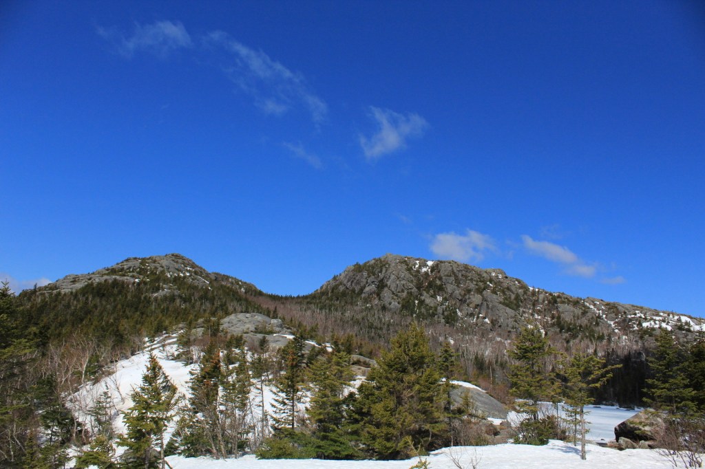
View of Tumbledown from Tumbledown Pond, Weld, Maine
View of Tumbledown peaks from Tumbledown Pond, Weld, ME

Tumbledown Mountain (3,068 ft) in Weld, Maine, is a beloved hike to many Mainers, due to its accessibility and the unique nature of Tumbledown Pond near the summit (this pond is a geological feature called a “tarn”).  Normally, taking a break to swim or fly fish at the top of a mountain is just a daydream.  We first hiked this in April 2017 during our 100-Mile Wilderness training, and again more recently in May 2020, so neither of these warm weather activities were available at elevation.

Ascending the Loop Trail on Tumbledown Mountain, Weld, ME.
Continue reading

Center Hill Nature Trail (Weld, ME)

The Center Hill Nature Trail is a short (half-mile) loop located on Center Hill (1,658 ft), inside Mount Blue State Park, off Center Hill Road (unpaved) in Weld, Maine. This trail begins and ends at the parking area for the Center Hill picnic area, and includes excellent views of Mount Blue, Tumbledown Mountain, Webb Lake, and the surrounding lakes and mountains.

Center Hill Nature Trail, Mount Blue State Park, Weld, Maine
The steep, winding access road from Center Hill Road to the summit is paved, but not plowed in winter. There are snowshoe trails accessible to hikers from the base of the hill, or from the winter trailhead at park headquarters at 299 Center Hill Road, Weld, Maine. The best guide is Mount Blue State Park’s map and brochure.
View of (right to left) West, Old Blue, Tumbledown, Little Jackson, and Jackson Mountains from Center Hill Nature Trail, Mount Blue State Park, Weld, Maine.
We visited in May, before the summit road was open, and navigated the icy road to the summit on foot, then walked the Center Hill Nature Trail counter-clockwise, stopping at each viewpoint.  The trail was wet, but easily navigable, and snow was only present in shaded areas.
Viewpoint from Center Hill Nature Trail, Mount Blue State Park, Weld, Maine
This short trail is perfect for families, with picturesque spots to take photos and picnic tables with beautiful views, and brochures are available (in summer) for a self-guided natural history hike through numbered stations.  In the summer, swimming is available a short drive away at Mount Blue State Park’s Webb Beach and Campground on the opposite side of Webb Lake.
View of Mount Blue's trademark conical summit from Center Hill Nature Trail, Mount Blue State Park, Weld, Maine
View of Mount Blue’s trademark conical summit from Center Hill Nature Trail, Mount Blue State Park, Weld, Maine
For those doing more challenging hikes in the area of Tumbledown, Mount Blue, or other peaks, this ring is a nice break, and the viewpoints and benches are an easy way to get the lay of the land of the Mount Blue area.
View through the trees of Tumbledown, Little Jackson, and Jackson Mountains from Center Hill Nature Trail, Mount Blue State Park, Weld, Maine.

Sprague Pond Loop Trail, Basin Preserve (Phippsburg, ME)

img_7604
Seam of green moss surrounding stream, Basin Preserve, Phippsburg, ME
The Sprague Pond Loop Trail through the Basin Preserve in Phippsburg, ME, is a quiet hike through diverse coastal woodland.  The Basin Preserve consists of over 1800 acres in Phippsburg, Maine, from land donated anonymously to The Nature Conservancy (TNC) in 2006, and adjoins the Sprague Pond Preserve, maintained by the Phippsburg Land Trust. Trail maps of this rolling hike, featuring ridges, mixed hardwood, coastal pitch pine woodland, shrub marsh, and a 10-acre spring-fed pond, are available for download on the TNC website.
img_7612
Ridge covered in sunlight and blueberry plants, Basin Preserve, Phippsburg, ME
On a warm spring day, we took the Loop Trail, from the Burnt Ledge Loop trailhead on Basin Road and a portion of the Meditation Trail along Sprague Pond for a 5.8 mile loop (appx 2.5 hrs). Basin Road is closed for winter maintenance until April 15th, and trails (open sunrise to sunset) can also be accessed from the Sprague Pond Preserve trailhead on Route 209.
img_0003
Spring runoff in wooded stream, Basin Preserve, Phippsburg, ME
Take time at the Basin Road trailhead to read the sign next to the fenced-in area opposite the trail, where TNC and the Maine Chapter of the American Chestnut Foundation maintain a seed orchard, where they are attempting to a produce a blight-resistant chestnut adapted to Maine’s climate. The Sprague Pond Loop Trail is a lollipop loop that divides at Burnt Ledge, and we chose the counter-clockwise loop, heading first down the western side of the trail.
img_0020
Rocky terrain and mixed vegetation, Basin Preserve, Phippsburg, ME
This well-marked path, covered in pine needles, winds up and down small ridges, which are covered in blueberry plants.  Despite the recent rains and swollen streams due to snow melt, the trails were dry and well-maintained.  A few fallen trees made for brief scrambles/detours, but this was the exception, rather than the rule.
img_7618
Canada geese, south end of Sprague Pond, Phippsburg, ME
We saw and heard songbirds and squirrels throughout the hike, but the animal life peaked at Sprague Pond, where we saw mallard ducks, a great blue heron, Canada geese, a circling bird of prey (unidentified), and a garter snake enjoying the sunny Meditation Trail. Shortly after the pond, a beaver dam and lodge were visible, and a spring torrent fed a rocky waterfall next to the trail.
c44931ad-37b4-42ff-9d47-e3d45909033e
Waterfall near Sprague Pond, Phippsburg, ME
After the waterfall, the eastern side of the loop was primarily a mixed hardwood forest, open and light-filled, with desiccated beech leaves rattling in the wind, chattering squirrels and silent birches awaiting spring.  This serene coastal woodland preserve offers a nearly six mile uninterrupted walk through pines, moss, blueberries, and birdsong.  

(Note: no pets or bikes are allowed on the trail)