With the temporary closure of schools and businesses, the uncertainty in the air, and the moratorium on group activities in many places, the universal mood seems to be a somber one, at best. But, with care, resolve, and education (try this article on social distancing), a more sanguine view can prevail. What is a healthy thing to do that requires relative isolation – six feet of separation with non-family members, and no direct contact with surfaces that might contain lingering viruses?

Hiking, in its many forms, needs no more cheerleading for its holistic wellness benefits. But getting outside for mental health has never been more important. Here in Portland, Maine, schools will be closed until at least the end of April, a stay-at-home order has been issued, and non-essential businesses are temporarily closing. These actions, and others, can all have degenerative ripple effects on time, and on physical and mental health, if we let them.

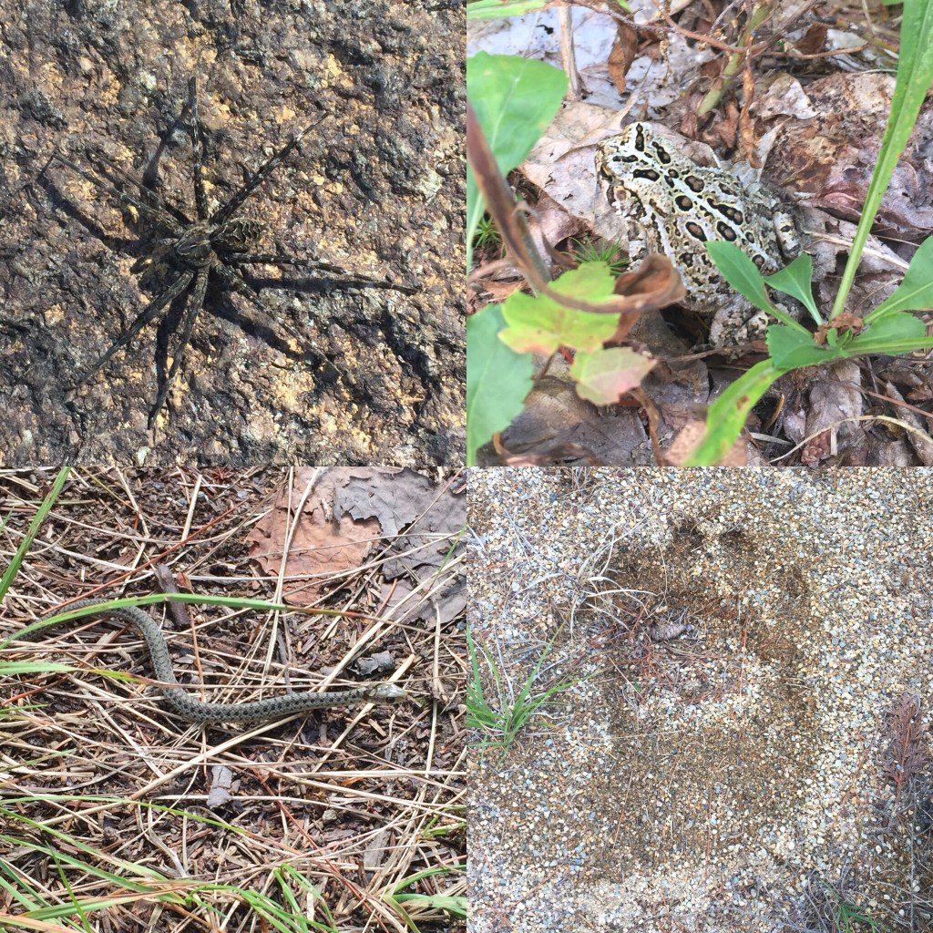
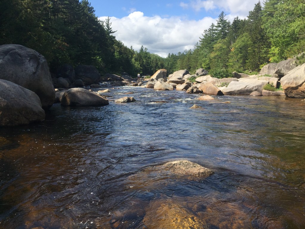
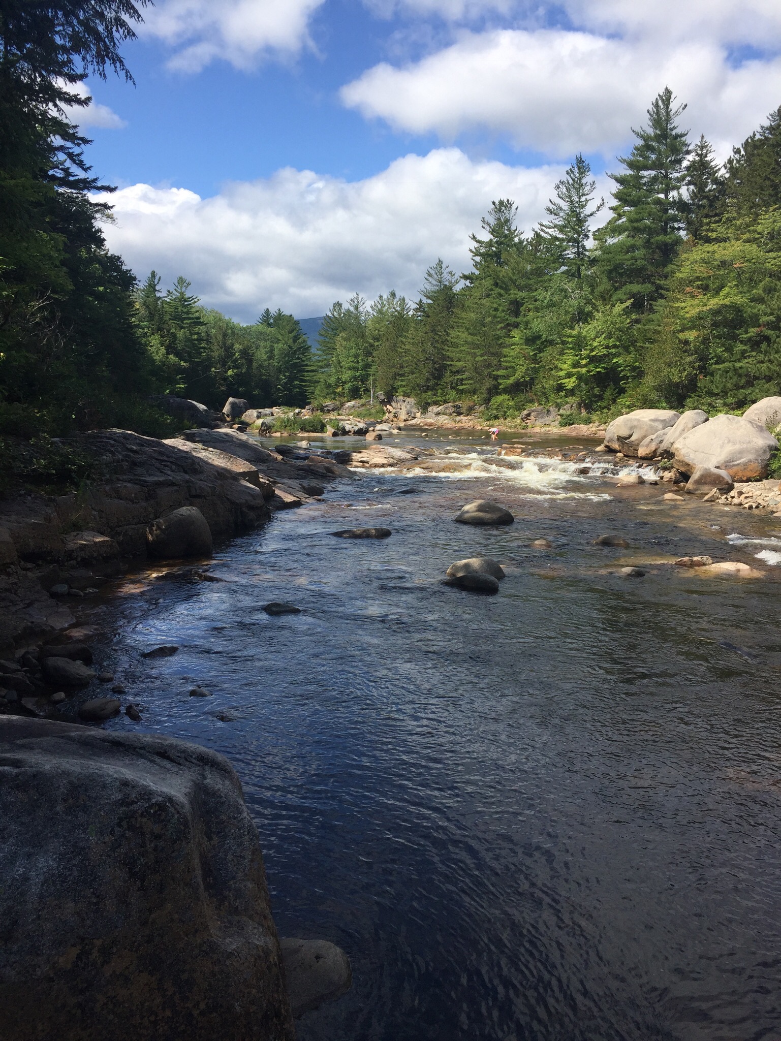
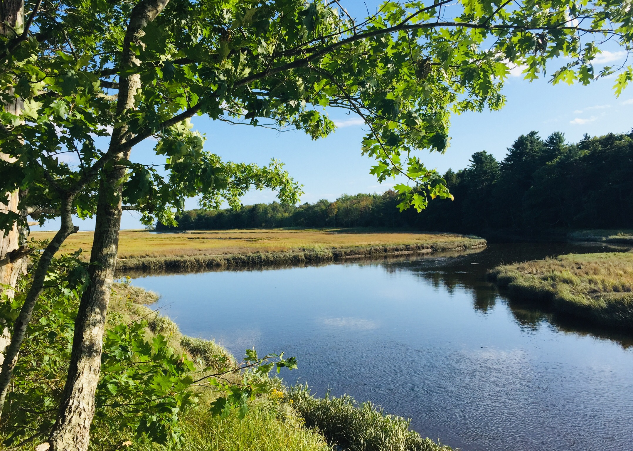
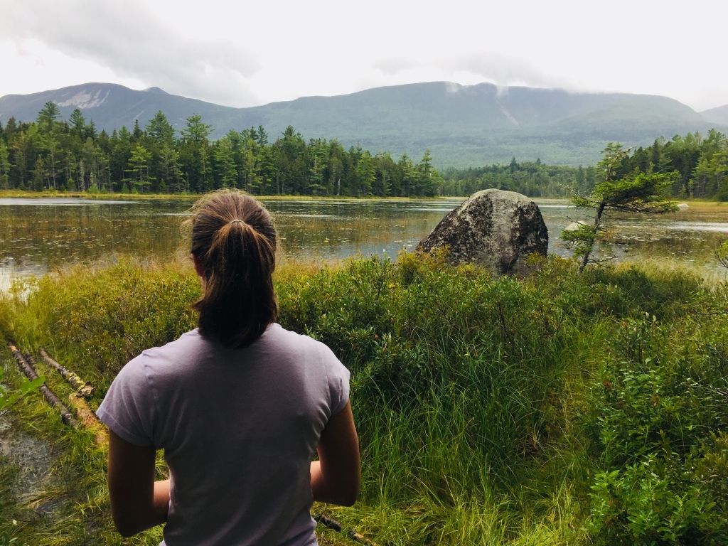
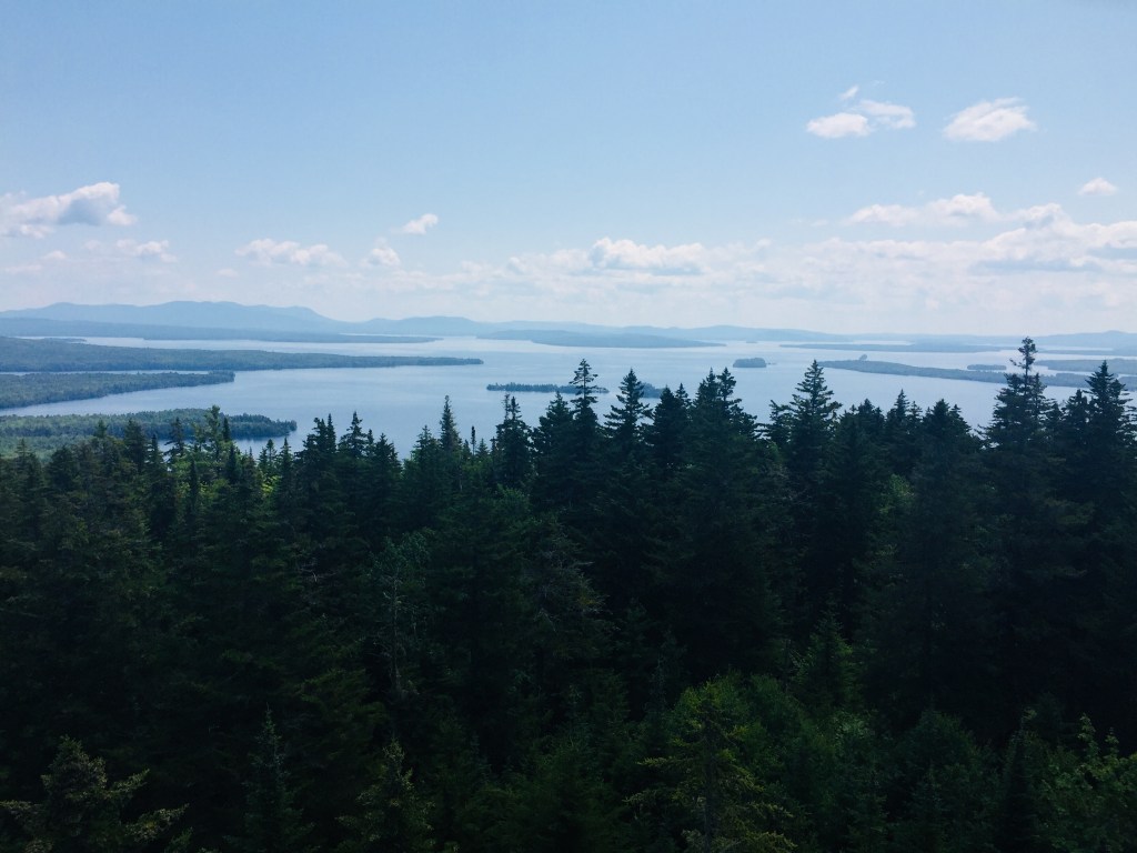
First, breathe. We were fortunate to be born in a country with the infrastructure and prosperity to get through this. Here in Maine, we are less-densely populated than most other places, surrounded by an embarrassment of natural riches in the form of the coast, lakes, and mountains.
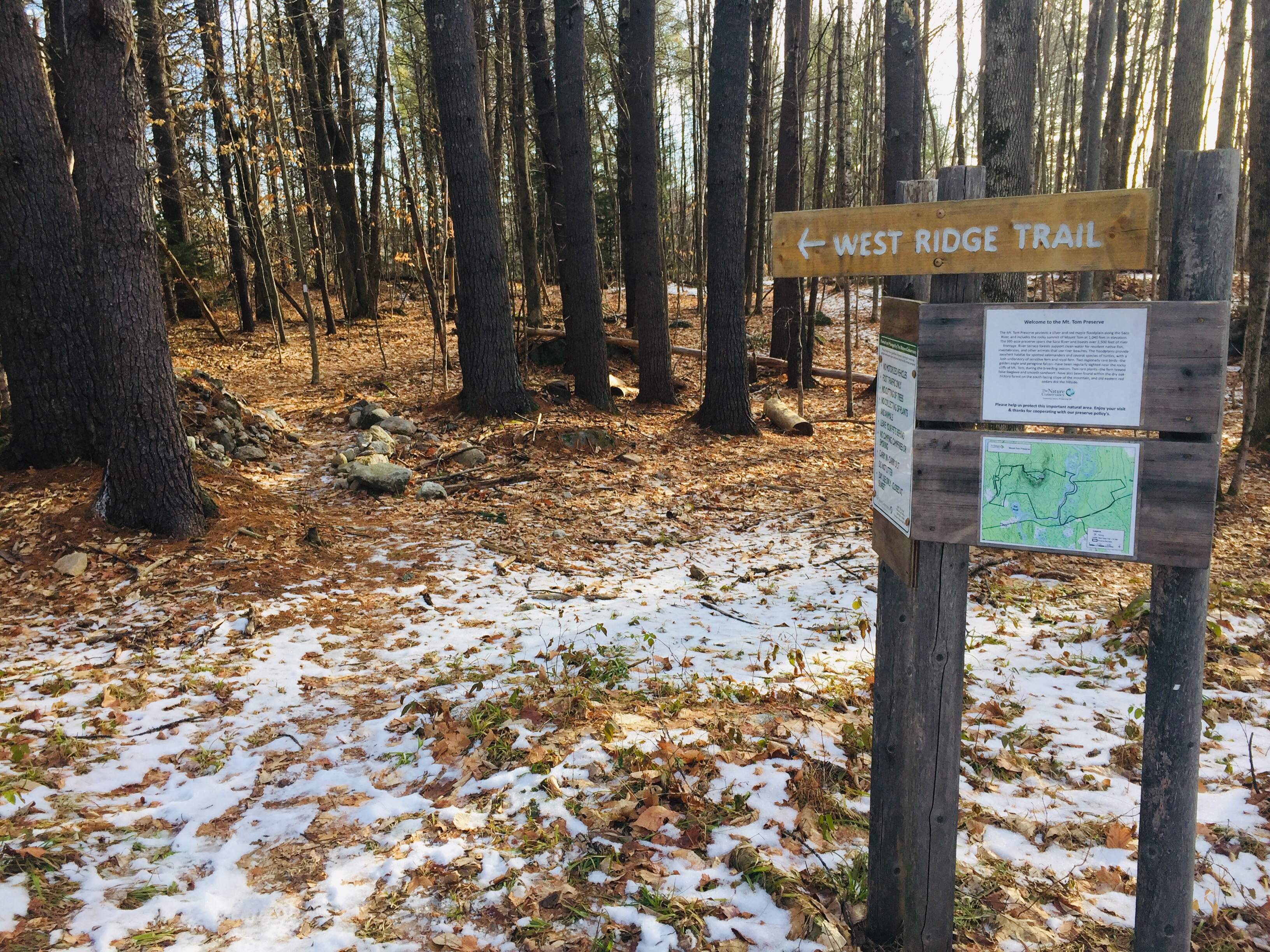
Second, prioritize. Number one is the safety of you and your family, and others in the community at large. Follow directives of the Maine CDC. The National Recreation and Park Association has issued a helpful statement, with guidelines on social distancing while using parks and open space. And be ready to turn around. Ironically, outdoor spaces have become more crowded. As of March 26, York had closed down its beaches after a crush of people showed up, and Maine closed selected coastal state parks until April 8 due to overcrowding. Acadia National Park has closed facilities indefinitely to discourage out-of-state visitors. The Appalachian Trail Conservancy has requested that all hikers stay off the trail for at least two weeks, due to unprecedented crowding that is “the opposite of social distancing.”
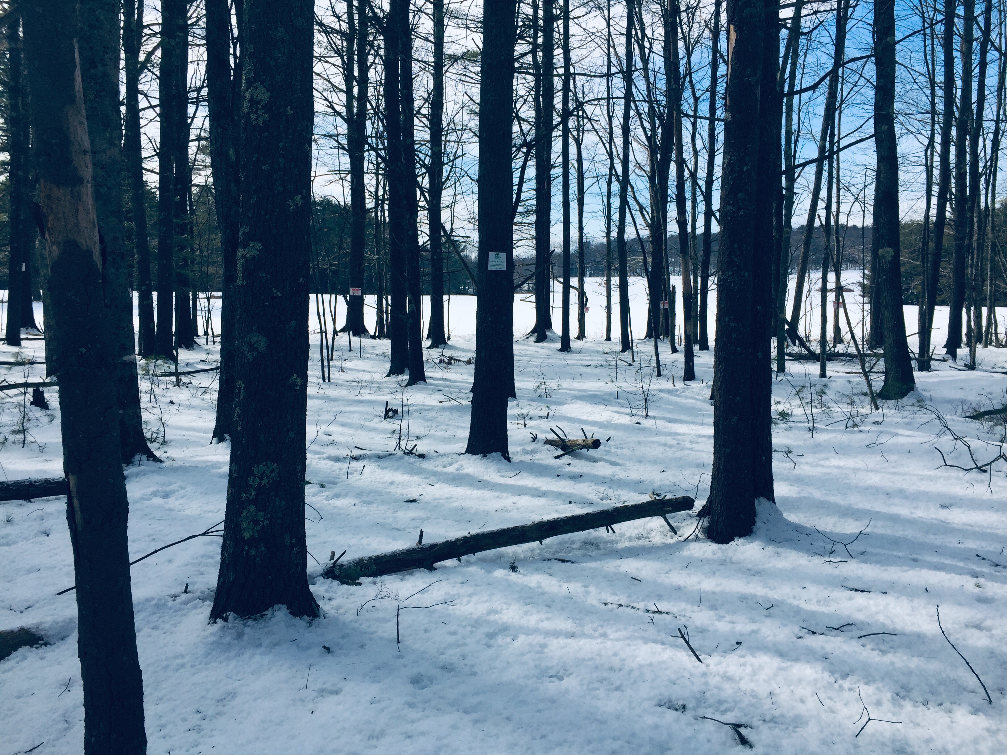
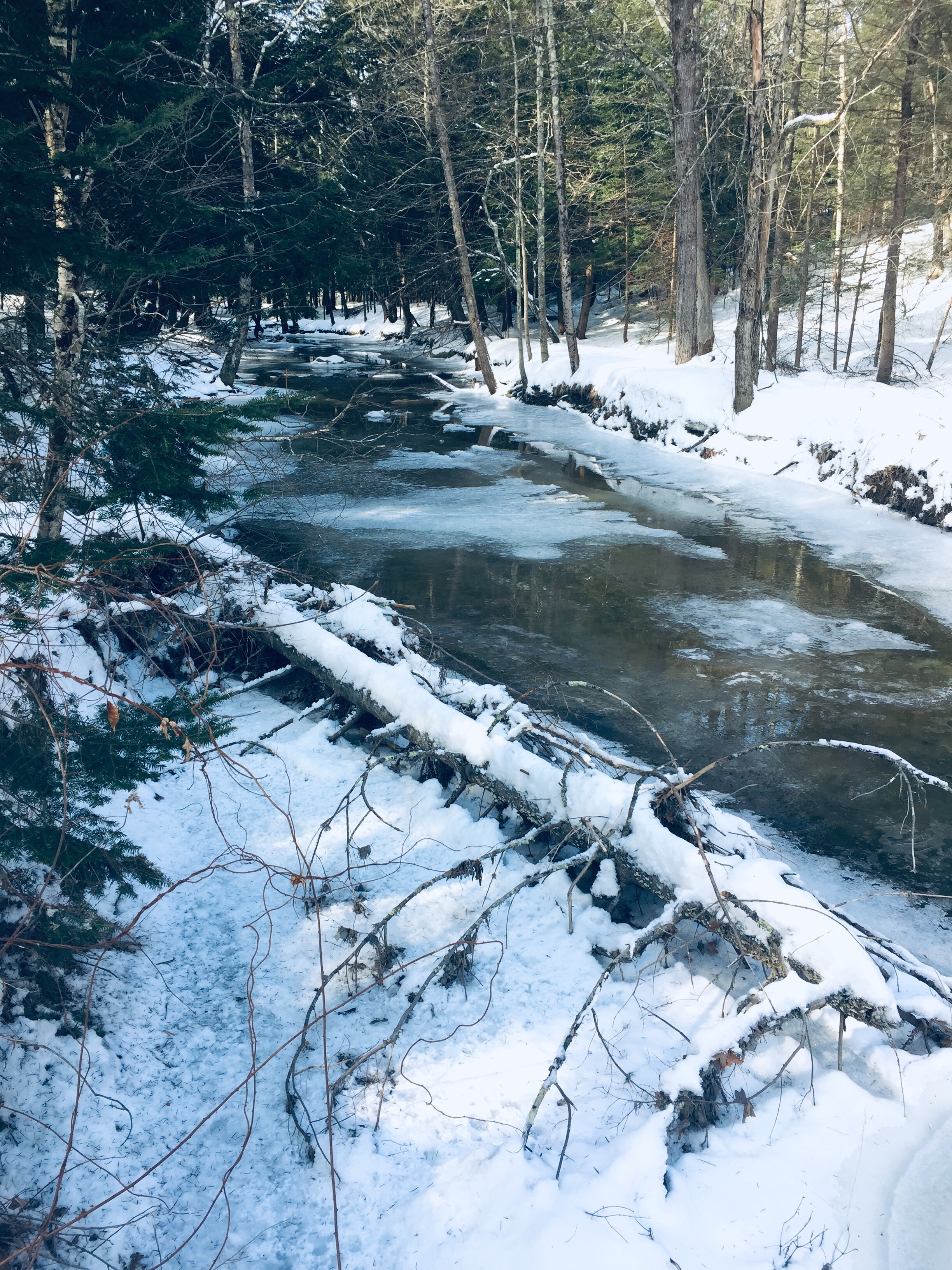
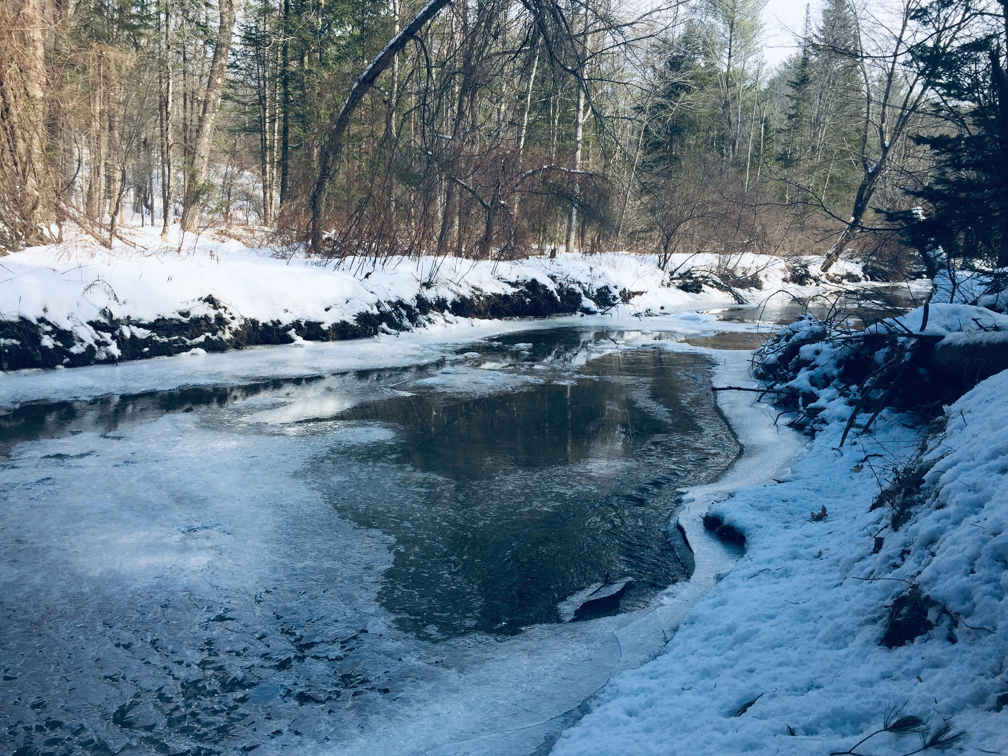
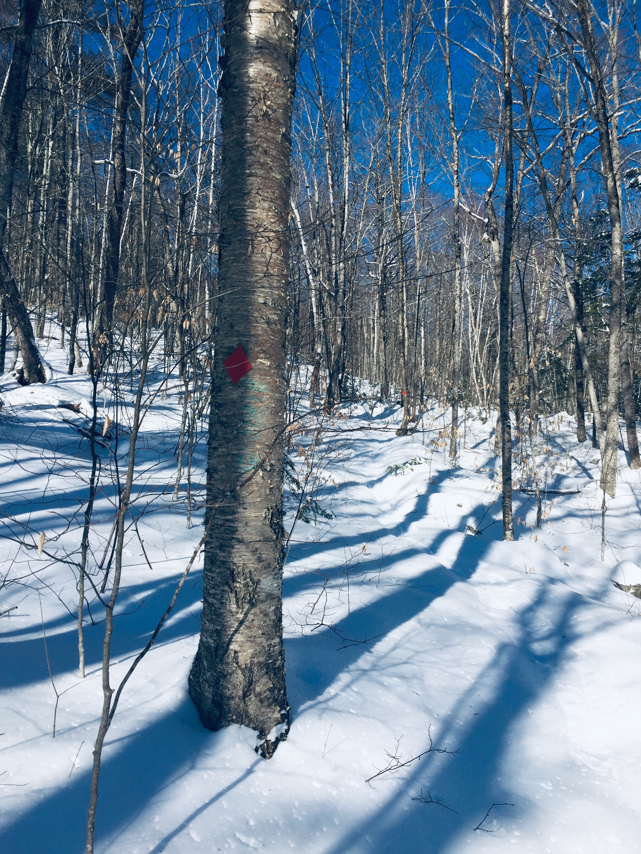
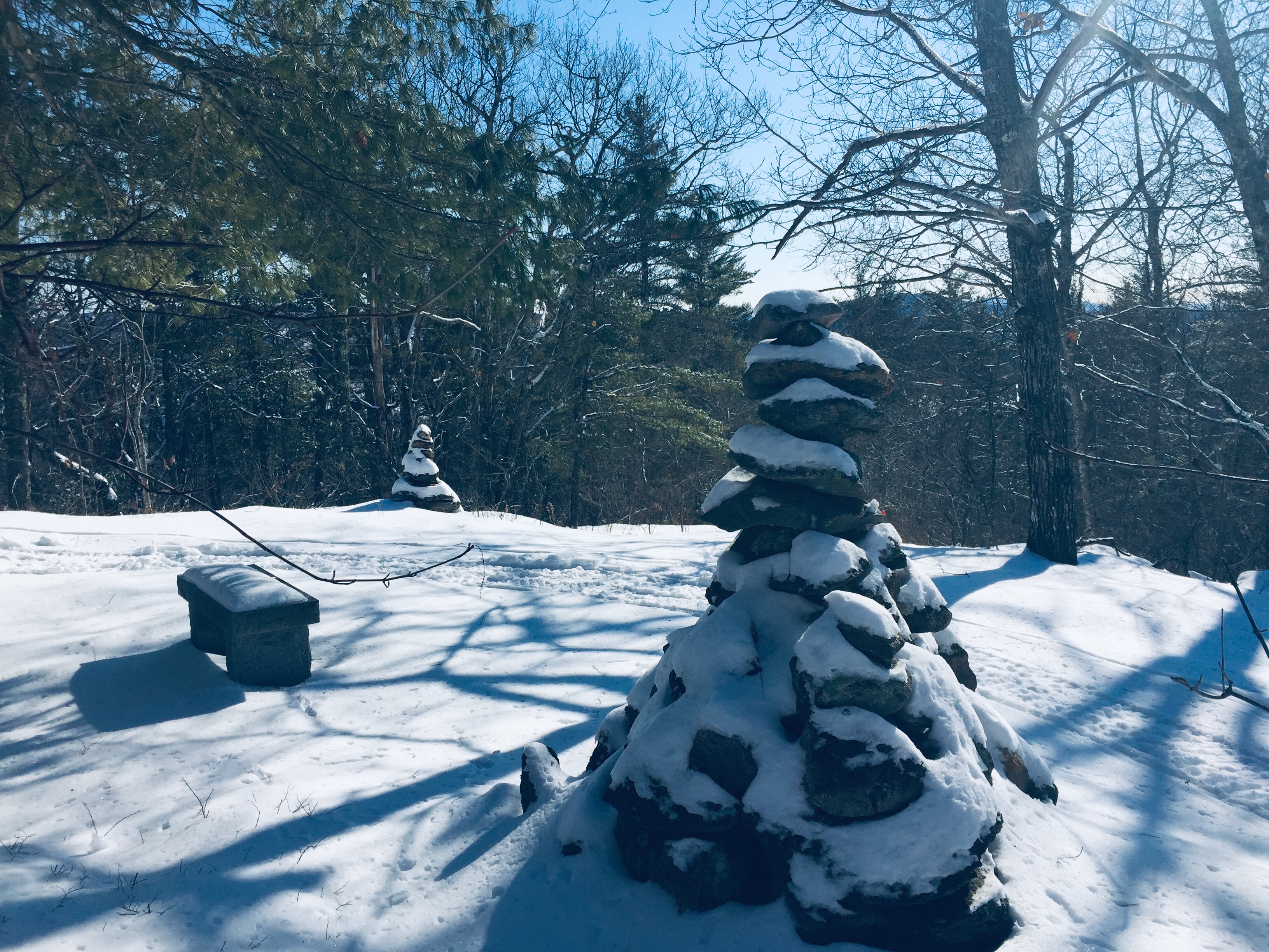
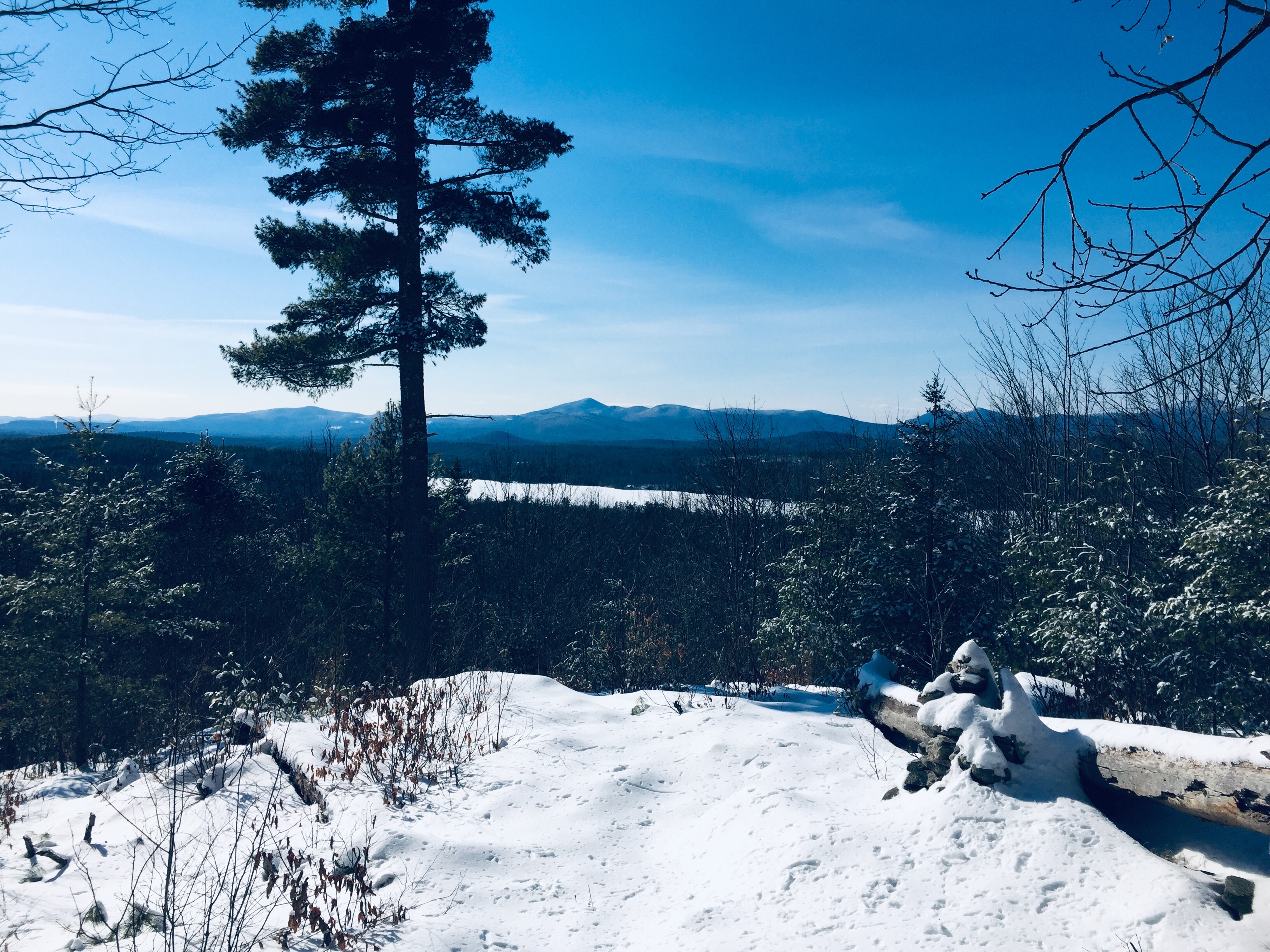
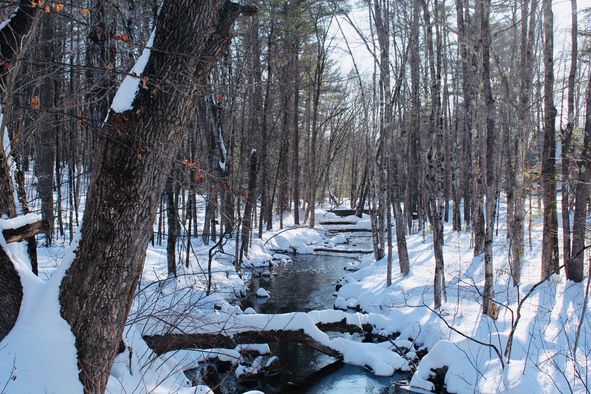
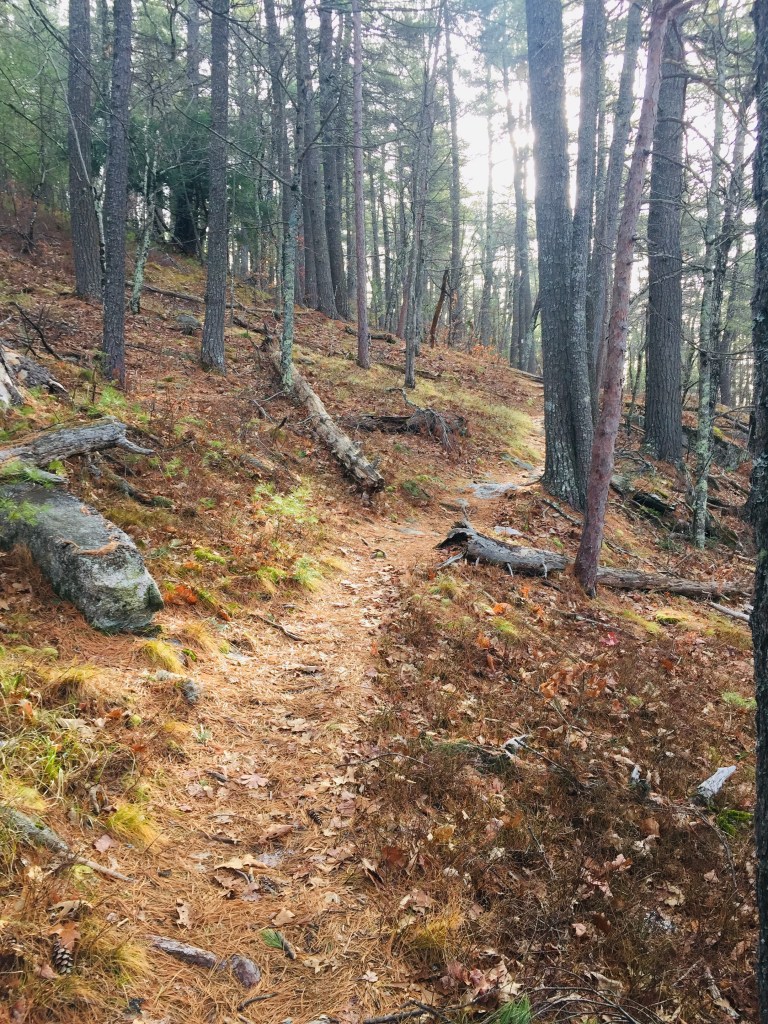
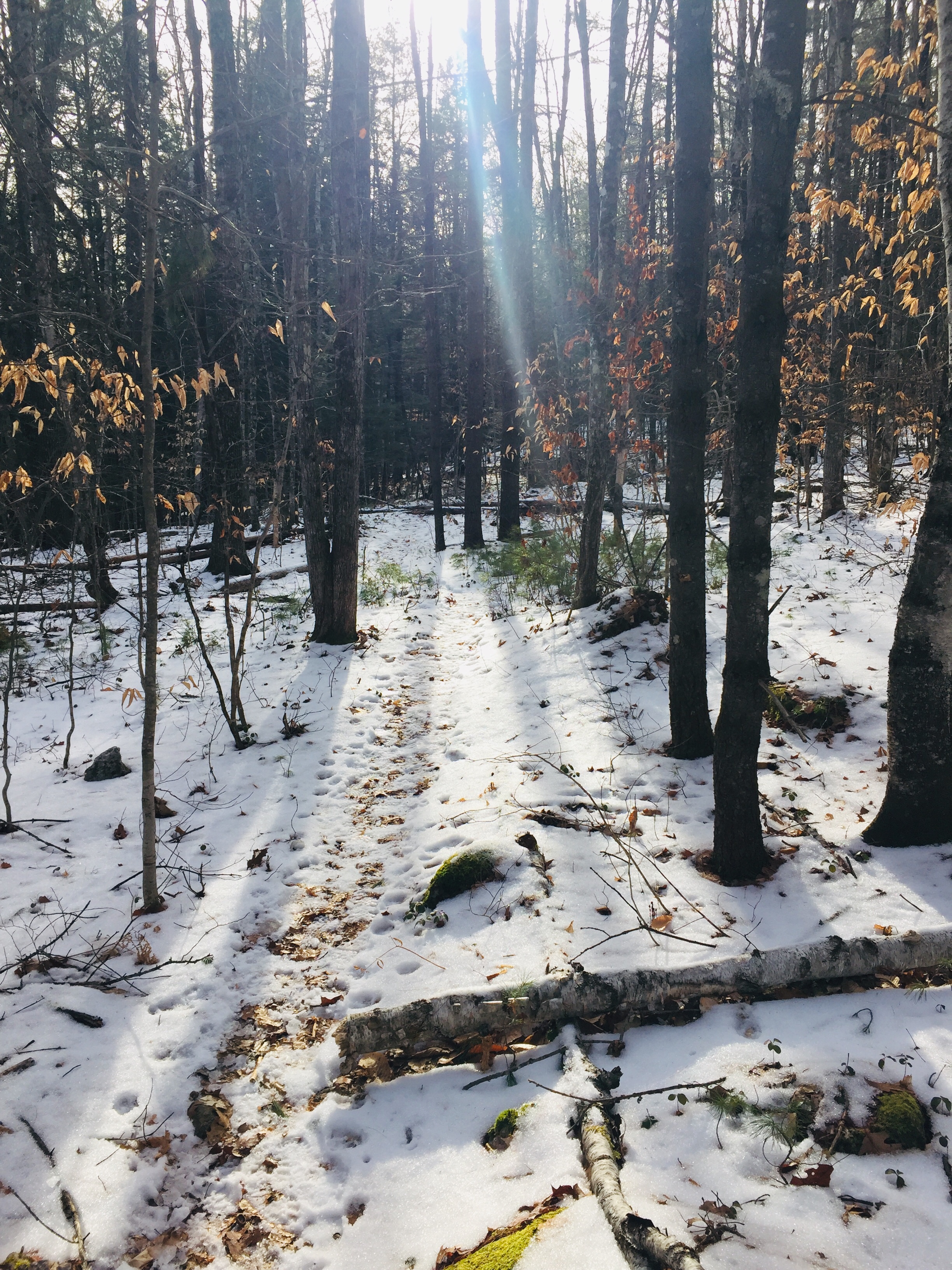
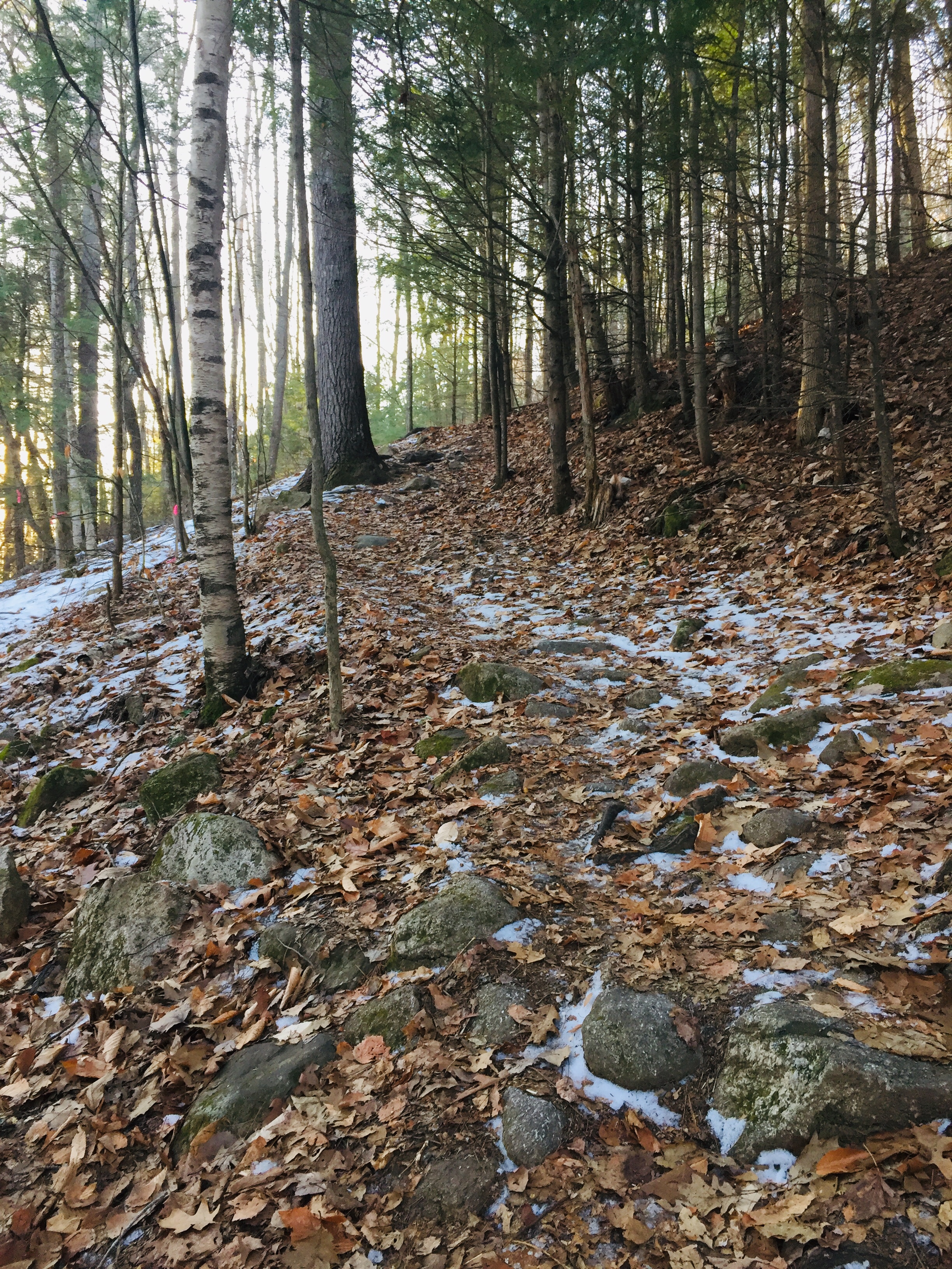
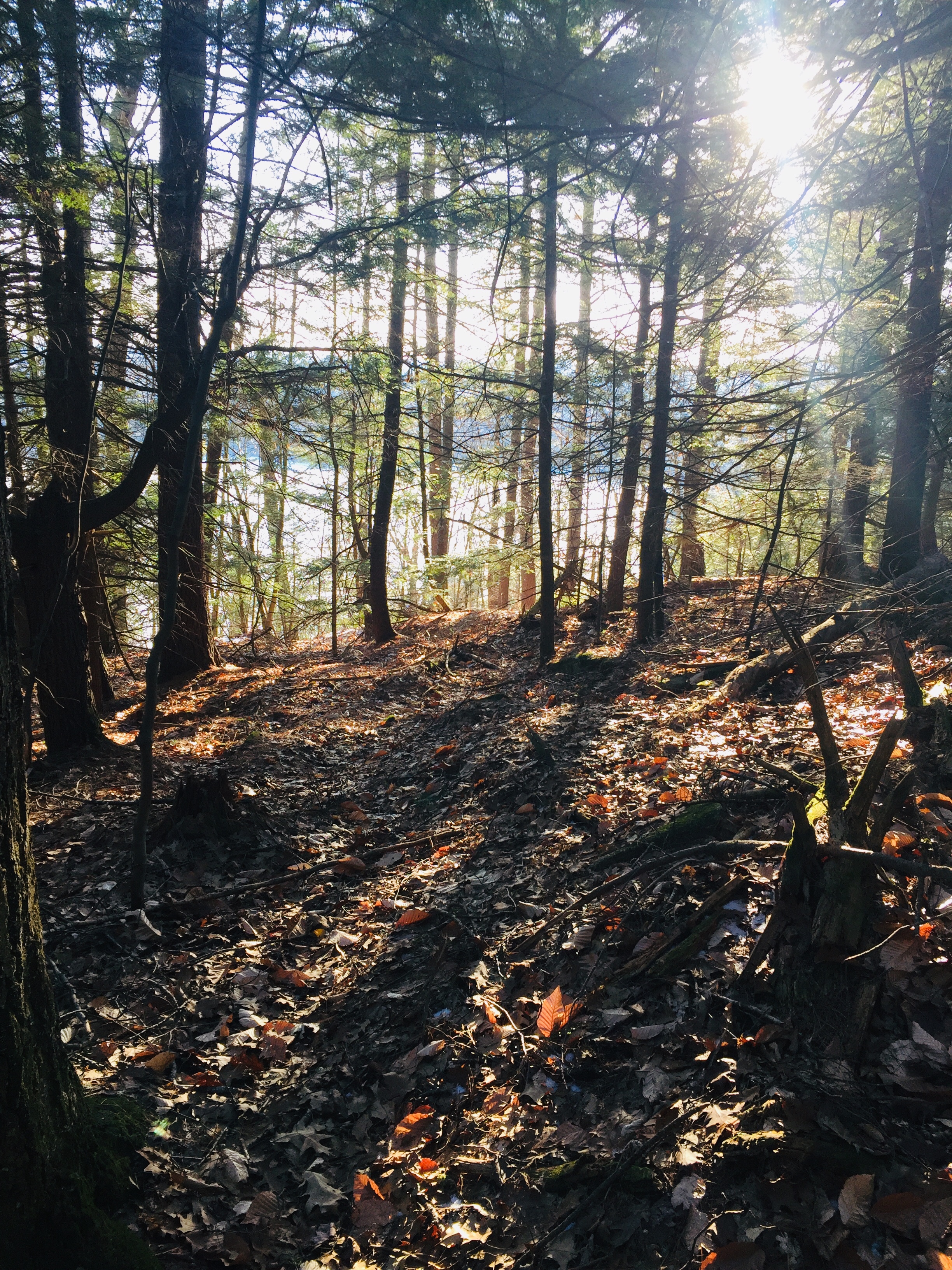
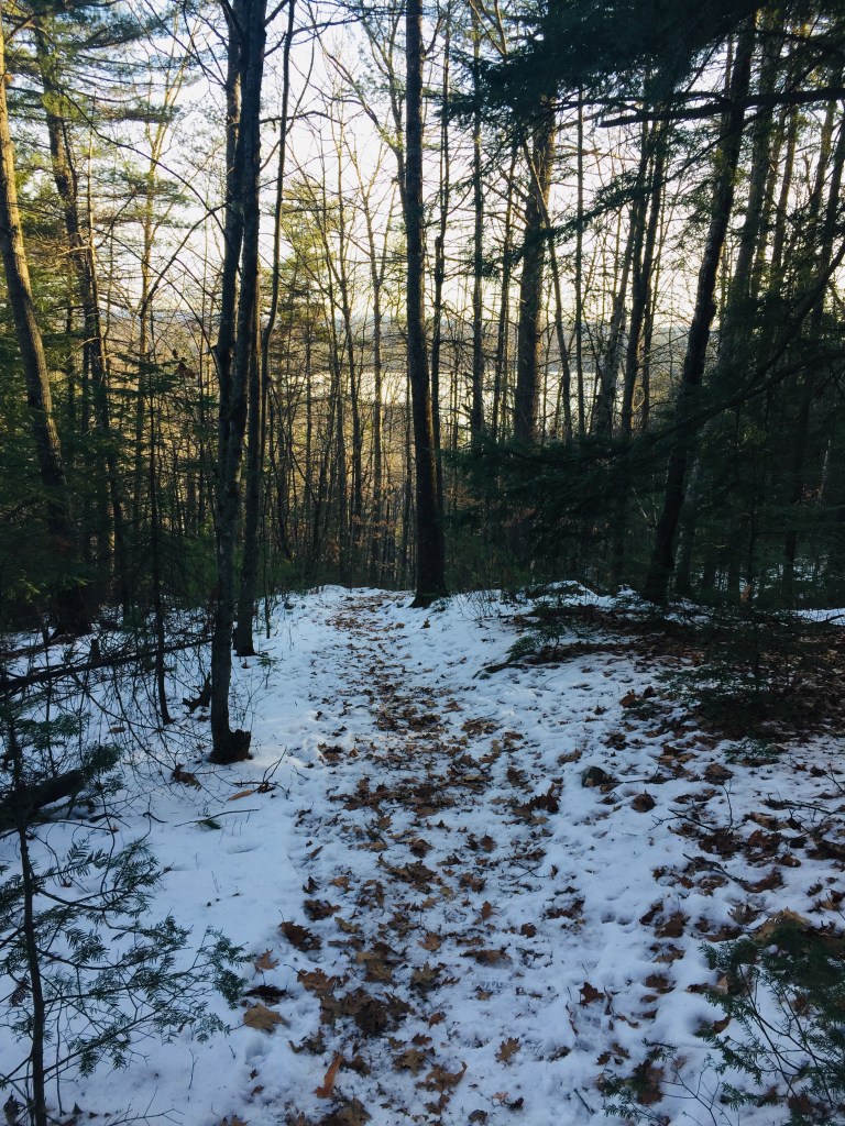
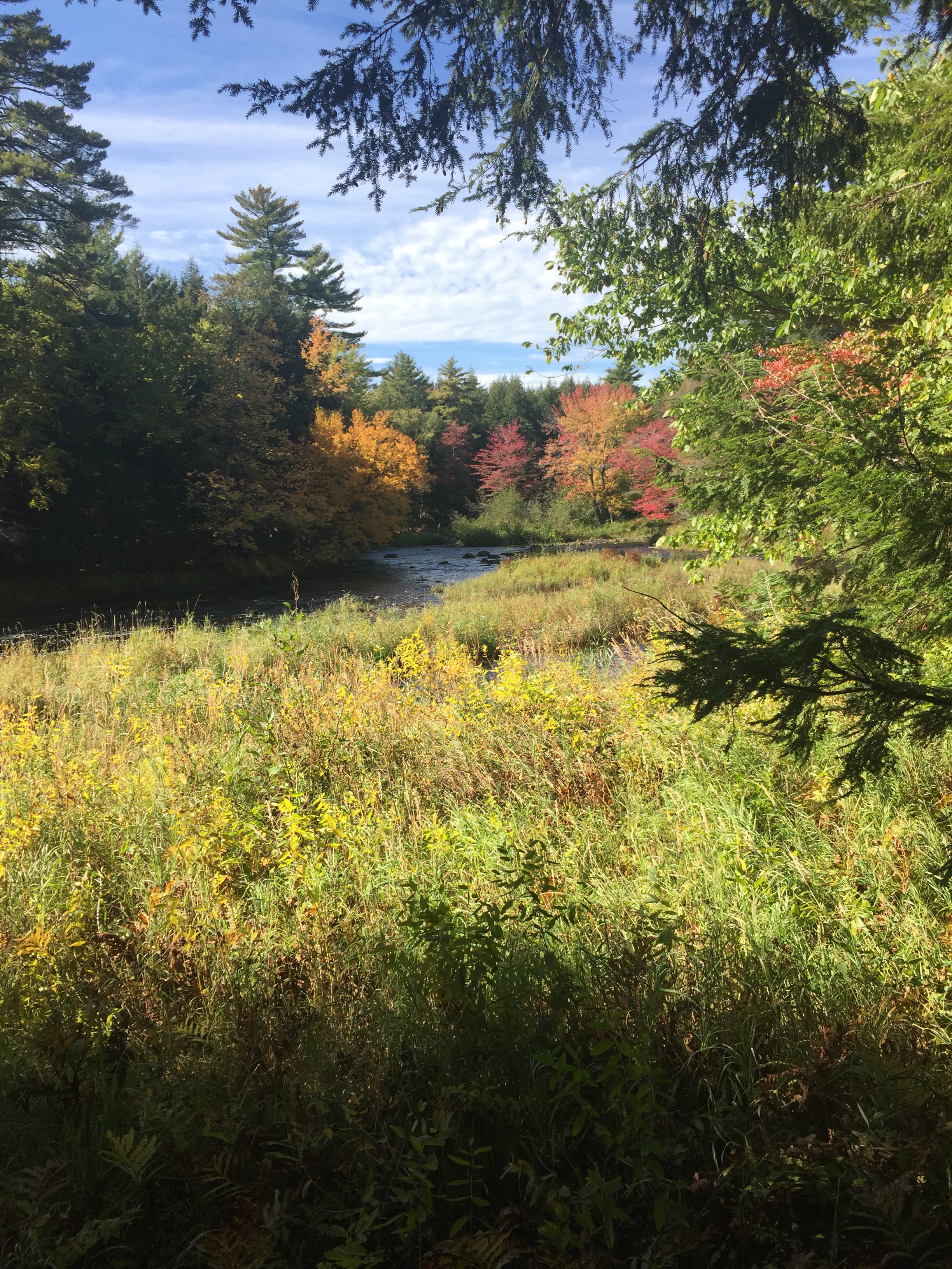
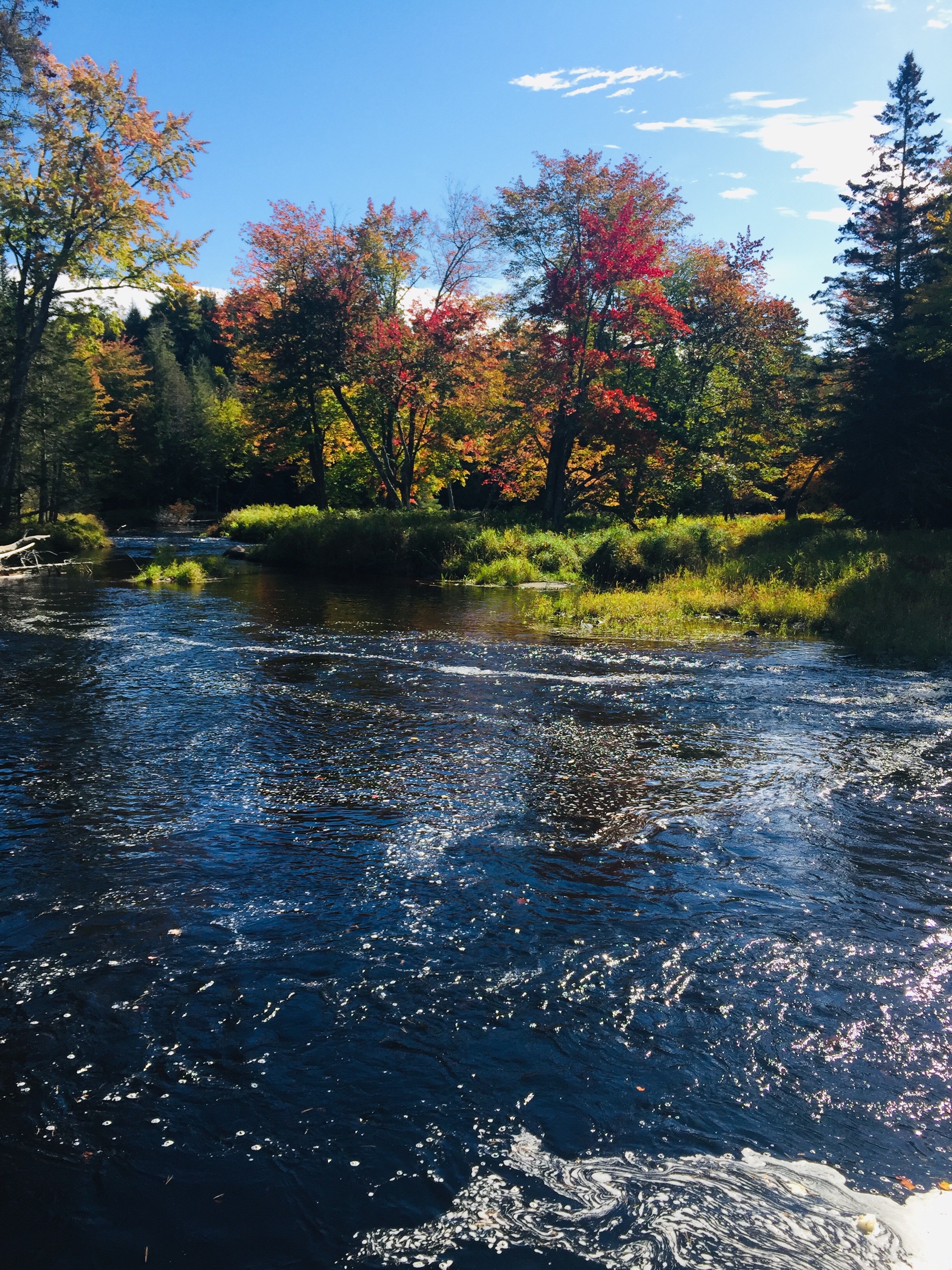
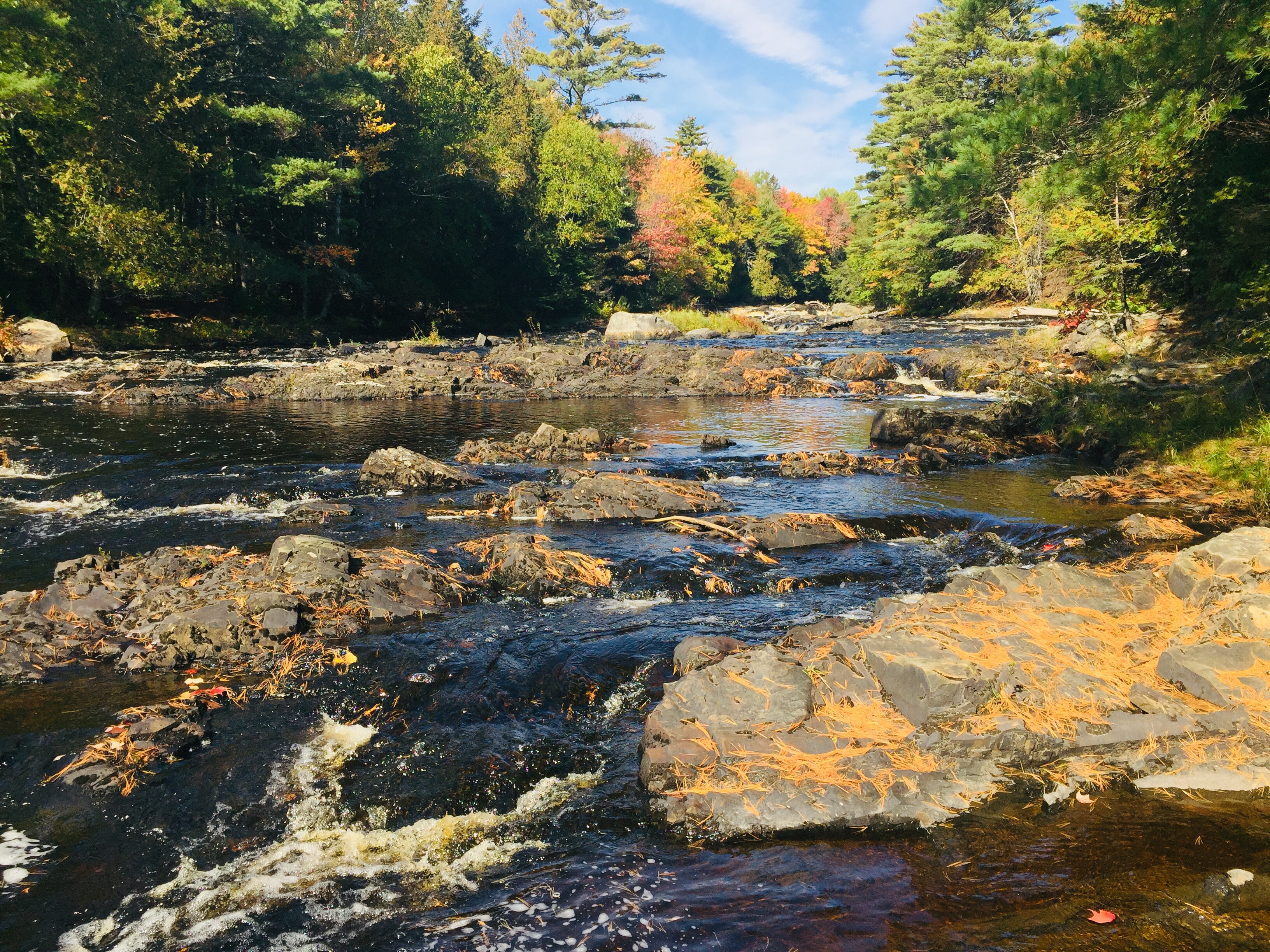
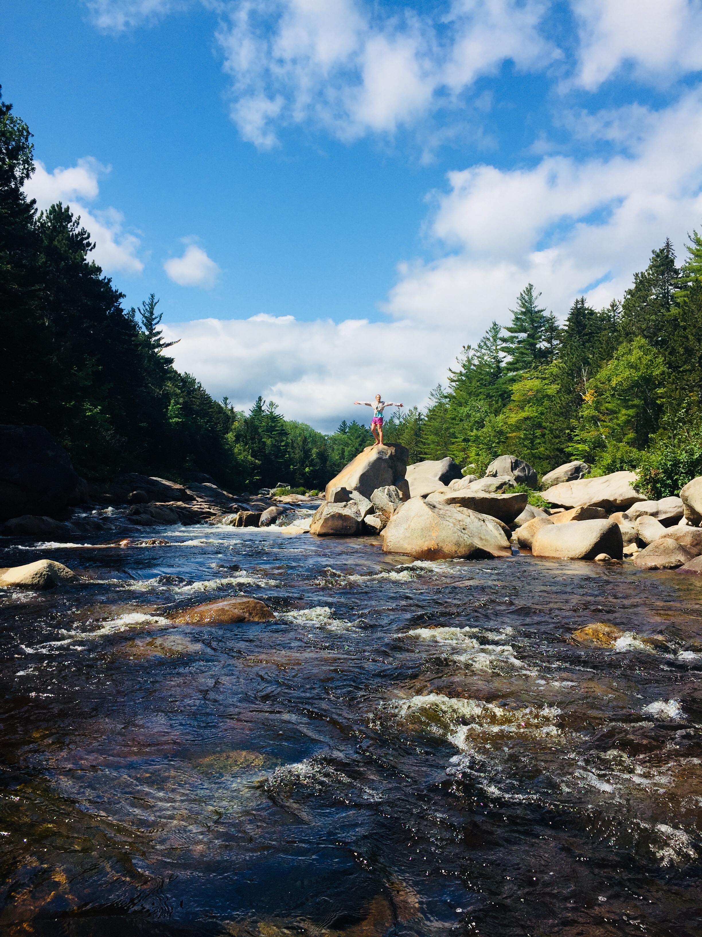
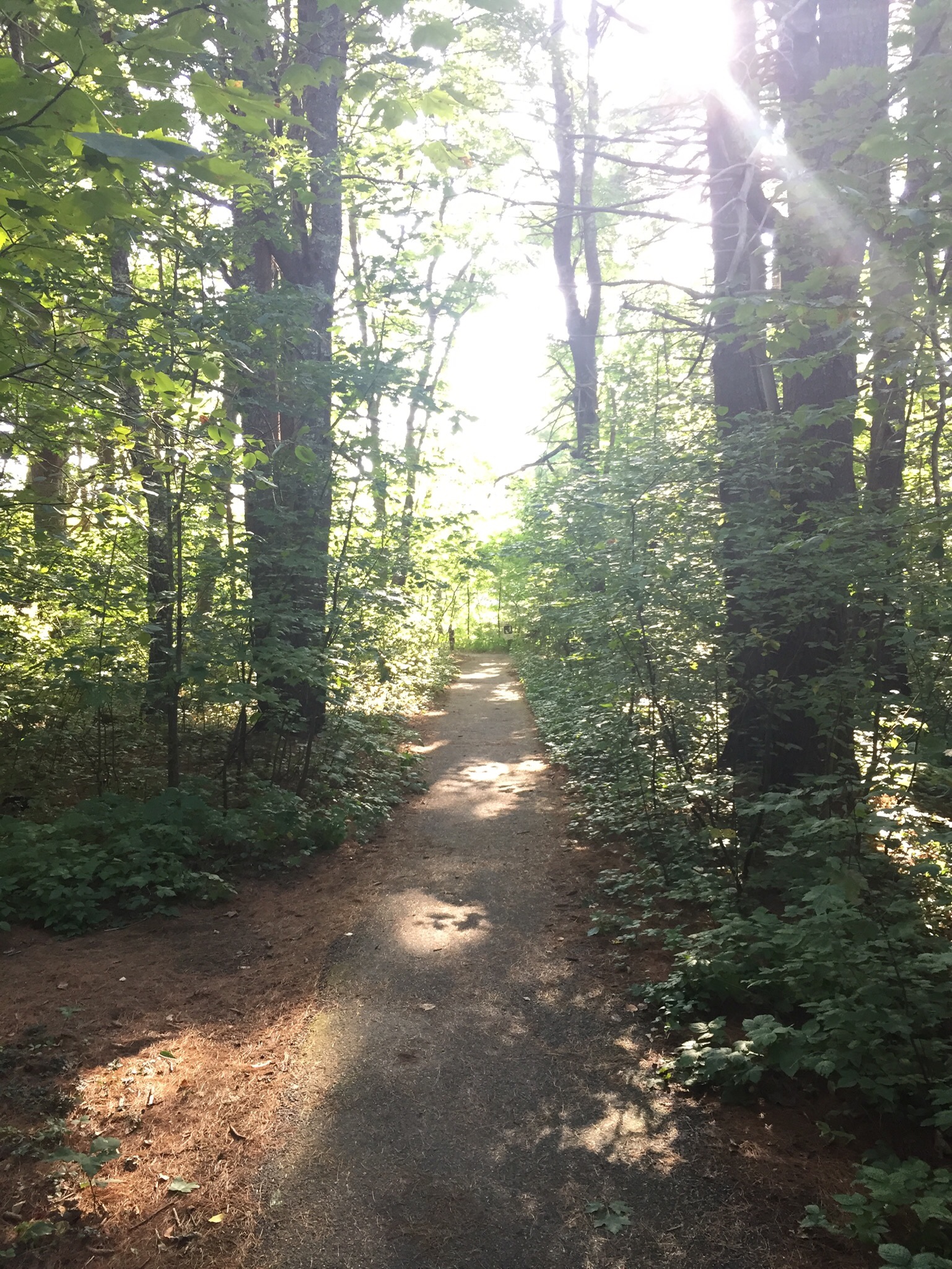
Got all the spacing, sanitizing, and trail closures down? Great. Now pick your hike. Stay local. Try this article by Carey Kish on a Dozen Great Hikes to Celebrate Maine’s Bicentennial. Use Portland Trails’ great online maps to grab something closer to Portland. Try AllTrails, MaineByFoot or MaineTrailFinder. Find a land trust in Maine. Or look at our interactive map and trail guide.

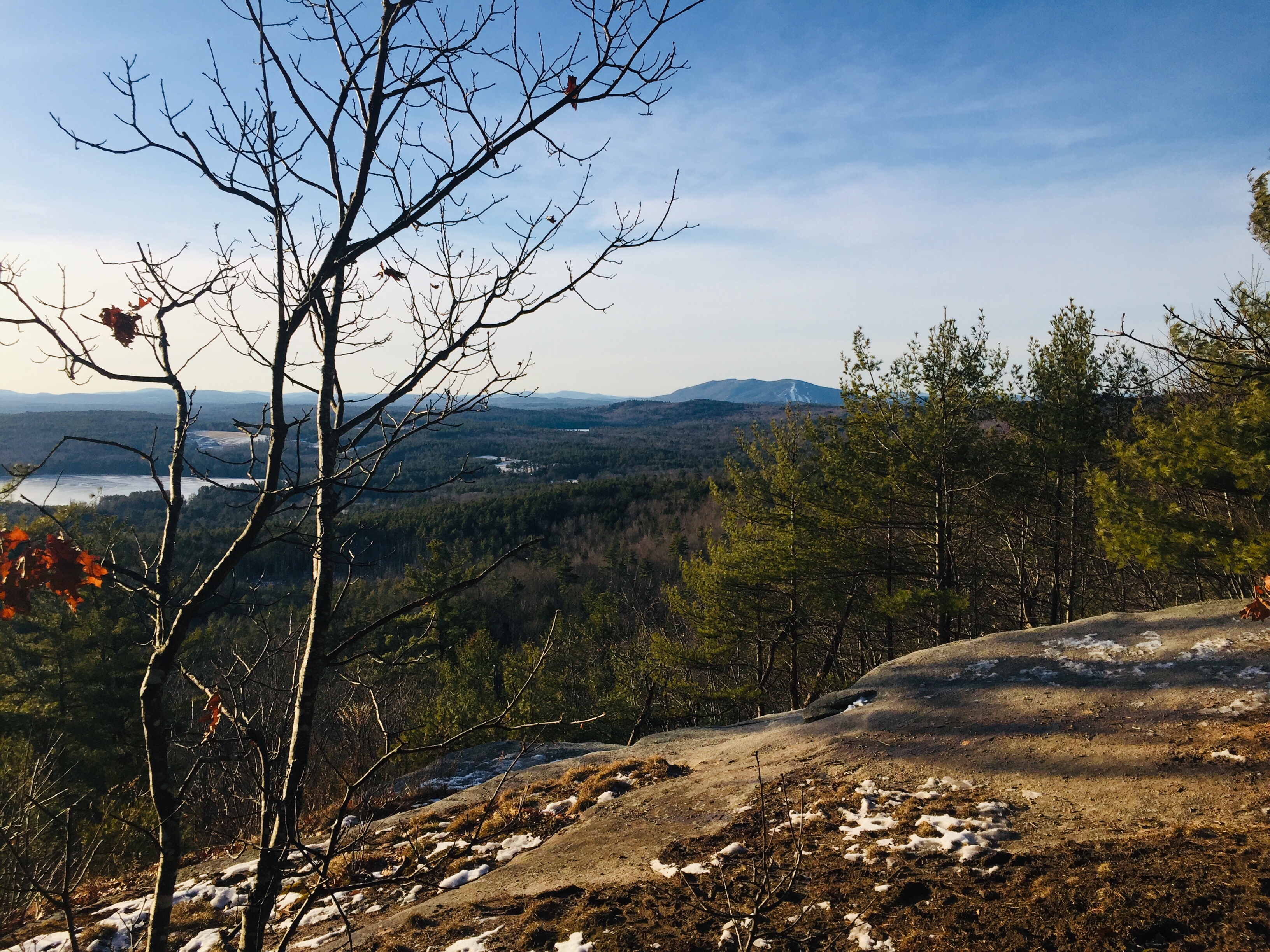
Top Five Easy Nature Fixes within about an hour of Portland?
Cliff Walk at Prout’s Neck (Scarborough) (As of March 26, 2020, this appears to be closed due to COVID-19)
Morse Mountain/Seawall Beach (Phippsburg) (As of March 29, 2020, this is closed to the public due to COVID-19)
Burnt Meadow Mountain (Brownfield)
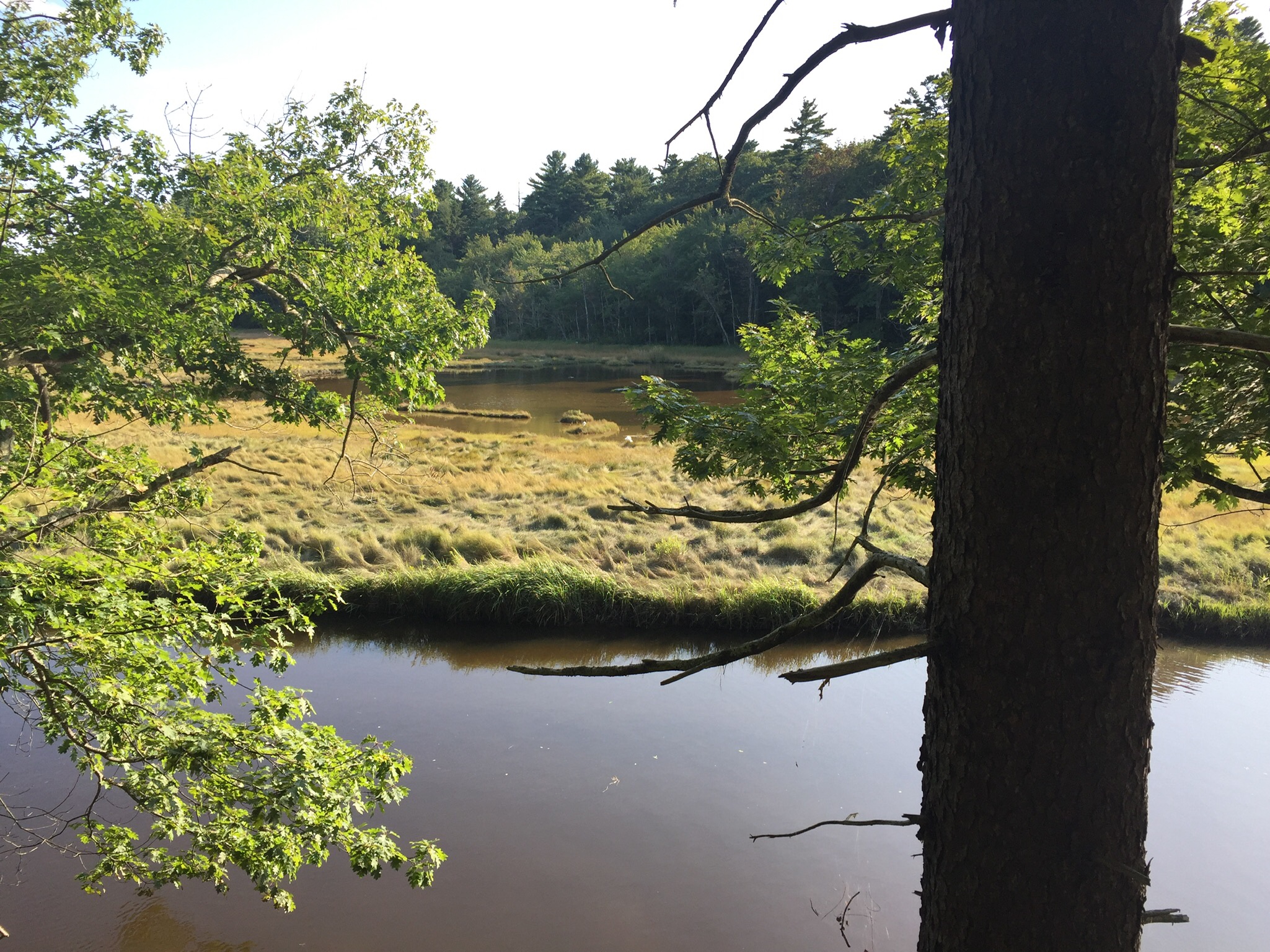
Fore River Sanctuary (Portland)
Mill Brook Preserve (Westbrook)
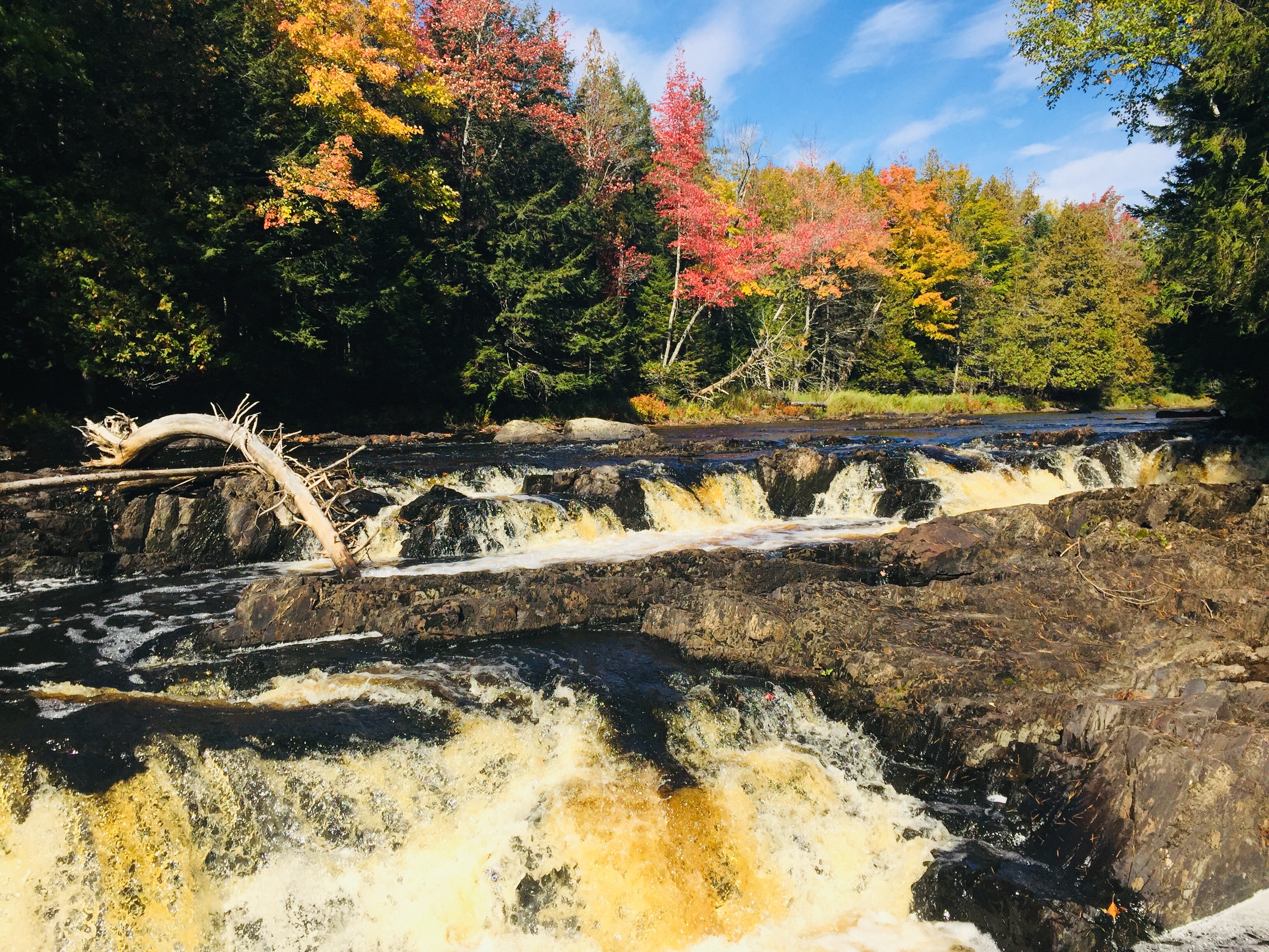
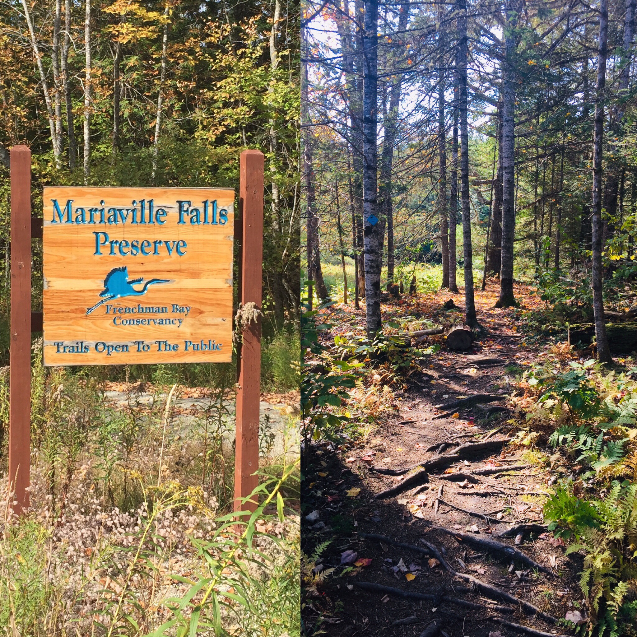
Remember- these are close, and popular, and may be crowded. The Portland Press Herald also just published a list of wild lands for exploration during this strange time.
Again, check state and local guidelines on the trails or parks you are using. Some may be closed due to COVID-19, some may just be closed to protect trails during mud season. The best source of information is the maintainer of the trails, whether that be a government agency, a municipality, a land trust, or a non-profit.
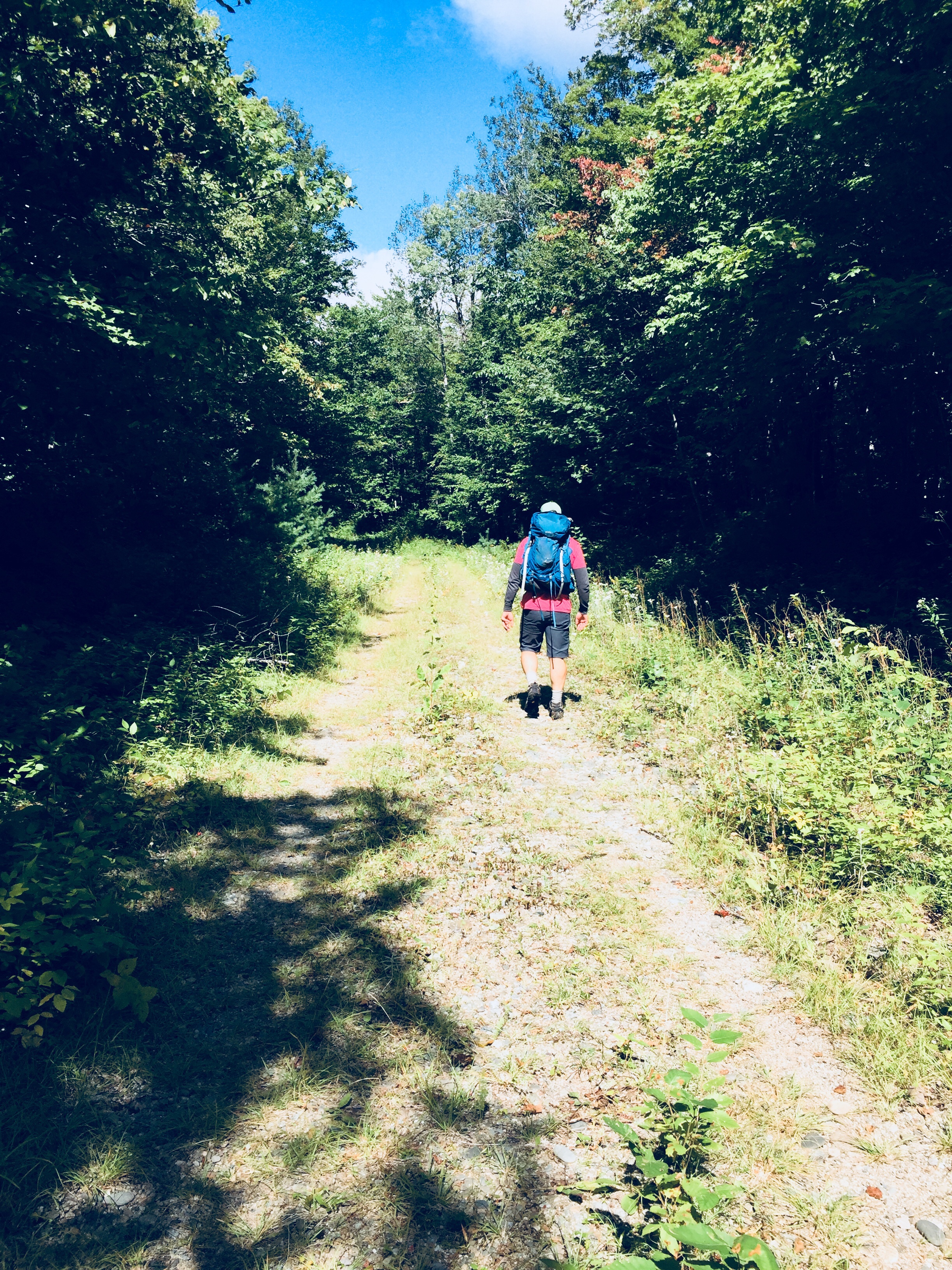
The point is not some Instagram-worthy photo opportunity, it’s fresh air and time in nature, so don’t sweat the surroundings. Baxter Woods or Evergreen Cemetery are great places to walk. If you can’t make it way out onto remote trails, there are other outdoor options. Last weekend, dad and daughter took advantage of the sunny weather, using Portland Trails and the East Coast Greenway to safely walk ten-plus miles to Wainwright Fields in South Portland.
Check out this Press Herald article on what to do when your plans are cancelled due to virus restrictions. Look at this Bangor Daily News feature on educational outdoor family activities. And if you are looking for educational opportunities outdoors for children during closures, try Learning on the Trails, a “pop-up virtual, trail-based education initiative” by filling out this form for Portland Trails.
This is not meant to be a flippant article, but suggestions specific to getting outdoors in the Portland area. People are deeply affected by this pandemic. Post-hike, consider getting takeout or delivery from a local restaurant – Portland’s Old Port has an updated list of businesses where this is available, as does Portland Food Map. The best place to look for where to help is at your friends and neighbors, but donations of money or time to places like Preble Street or national charities like the Salvation Army or Meals on Wheels can help those less fortunate.
The Portland Press Herald also recently featured a list of ways to help in your community during the pandemic.
So see you on the trail. We won’t get closer than six feet, but we will wave and say hi, and we’ll get through this together.
(Note: we will be updating this post as new opportunities develop)