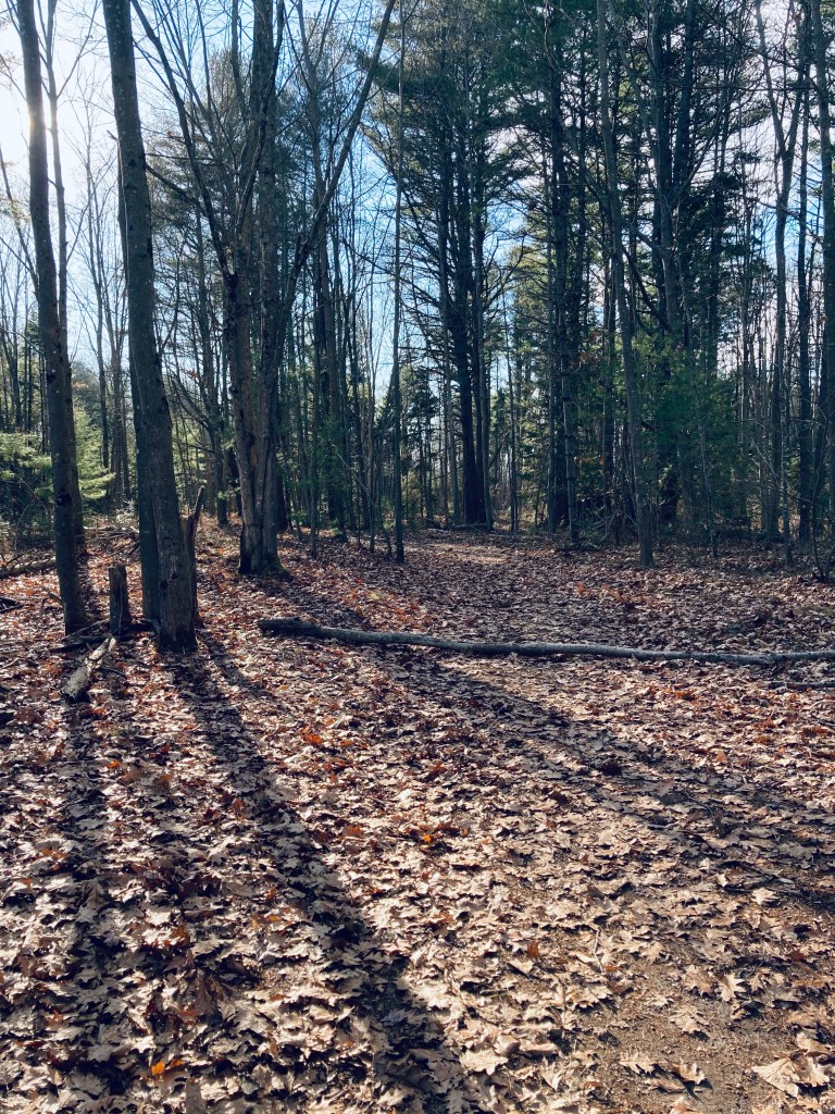
Access Trail, Libby River Farm Preserve, Scarborough Land Trust
Close to Prouts Neck and Scarborough Beach, the 75-acre Libby River Farm Preserve, tucked between Camp Ketcha and the Libby River, has about a mile of trails to explore. While well-attended, it is not as crowded as Ferry Beach and Scarborough Beach, and can be a good option if these places are busy.
Libby River Farm Preserve, owned and maintained by the Scarborough Land Trust, with a small parking area at 320 Black Point Road provided by Camp Ketcha, is open year-round for hiking, snowshoeing, and cross-country skiing. Dogs must be leashed, and bow-hunting (with Scarborough Land Trust permission) is allowed, so blaze orange is always a good fall idea.
Shrubland, Libby River Farm Preserve, Scarborough Land TrustContinue reading →
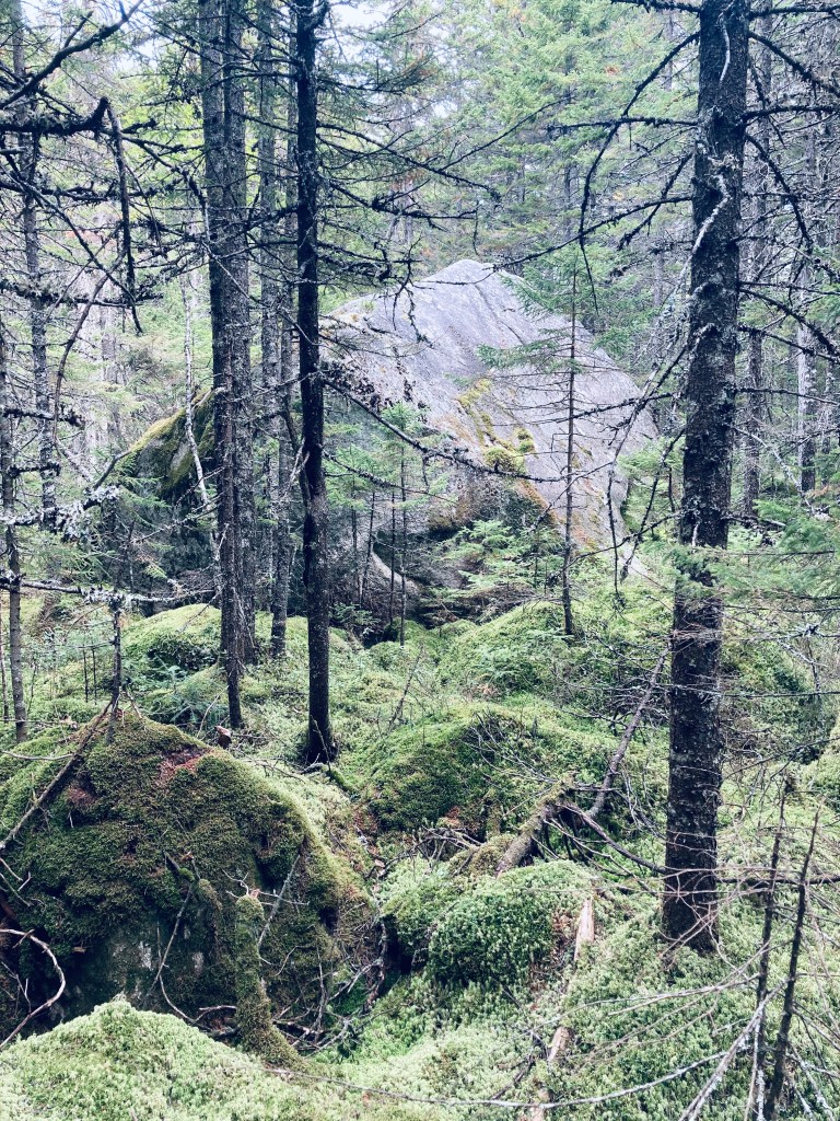
Having completed two strenuous hiking days in the northern part of Baxter State Park, I wanted to explore an easier path on my long, scenic way out through the Togue Pond Gate. Celia and Jackson Ponds, reached in that order, are accessed from the Kidney Pond campground day-use trailhead via a 3.2 mile (1.5 to 2 hours) out-and-back hike using the Sentinel Connector Trail, and Celia and Jackson Ponds Trail. I found this hike using Falcon Guides’ Hiking Maine’s Baxter State Park.
The pleasant smell of woodsmoke from the campground quickly gave way to that of pine, and the path has a definite enchanted woods feel, with soft, greenish light cast on the moss surrounding the trail. Shortly after the trail’s beginning, a large boulder on the left is whimsically marked “Kidney Stone – do not remove.” Kidney Pond can be seen through the trees, and then a small side trail to the shore provides excellent views of Katahdin to the west.
Giant boulder, Celia and Jackson Ponds Trail, Baxter State ParkContinue reading →
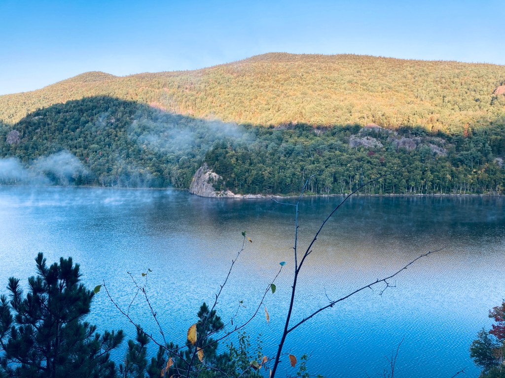
Sun rising over Black Cat and South Branch Mountains from Traveler Loop
The Traveler is a strenuous 10.1 mile loop hike over the rhyolite peaks of Traveler Mountain, the highest volcanic mountain in New England, with over 4,000 feet of total elevation gain. This full-day (6-10 hour) hike begins at Baxter State Park’s (BSP) South Branch Campground, and based upon advice from the AMC Maine Mountain Guide and Falcon Guides’ Hiking Maine’s Baxter State Park and BSP rangers, is best attempted counterclockwise via the Pogy Notch, Center Ridge, Traveler Mountain, and North Traveler trails. This is to avoid descending the steep, loose rock on the Center Ridge Trail.
Lower South Branch Pond at dawn
This route over Traveler’s bulk, which the AMC Maine Mountain Guide accurately describes as “starfish-shaped,” crosses Peak of the Ridges (3,254 ft), Traveler summit (3,550 ft), and North Traveler summit (3,152 ft). As it says on BSP’s website, “Preparation for a Traveler Loop hike is the same as a Katahdin hike,” due to the exposed nature of the hike, elevation gain, lack of available water, and distance. This is true, and in inclement weather, hikers should explore other options. To navigate, I used Map Adventures’ Katahdin Baxter State Park Waterproof Trail Map, but BSP’s official website also has free downloadable/printable trail maps, and the South Branch Pond map covers this area.
Trail to Burnt Mountain summit, Baxter State Park, Maine
You will not find many mountain hikes in Baxter State Park marked as anything other than “difficult” or “strenuous,” but Burnt Mountain (1,810 ft) is a pleasant, gradual woods walk of about 2.6 miles that took me under an hour, with fewer roots and rocks than most other hikes nearby. The best description and map I found was in Hiking Maine’s Baxter State Park. Burnt Mountain Trail’s out-and-back hike begins at the Burnt Mountain Picnic Site. This remote trailhead, which has a picnic table and a toilet, is along the park’s Tote Road, in the northwest corner of the park, close to the Scientific Forest Management Area.
Changing leaves in the light of the opening after the summit, Burnt Mountain, Baxter State ParkContinue reading →
South Branch Falls is a short (about one mile out/back, less than an hour) waterfall hike, close to Baxter State Park’s South Branch Campground, in the northern part of the park, accessible from the Matagamon Gate. This family-friendly hike explores a fast-running section of the South Branch Ponds Brook. Full description, map and photos can be found in Falcon Guides’ Hiking Maine’s Baxter State Park.
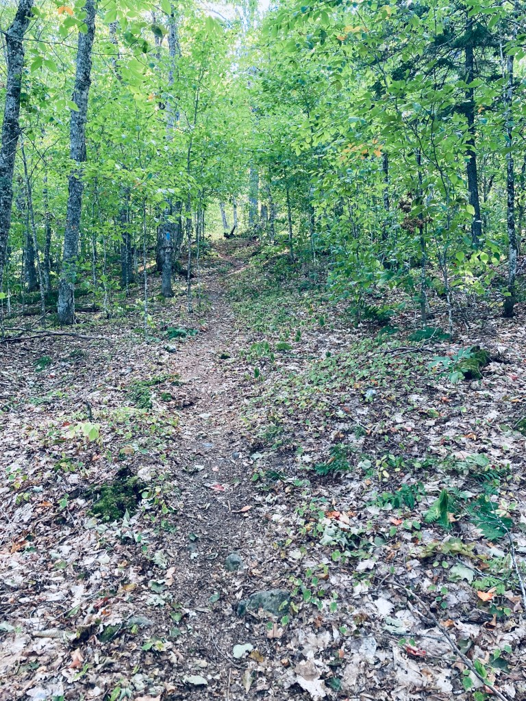
The trail up Trout Brook Mountain (1,767 ft), 3.3 miles, about 1 hr 45 mins, begins from a small day use parking lot at the Trout Brook Farm Campground at Baxter State Park. Like Horse Mountain, the best maps and descriptions I found were in the AMC Maine Mountain Guide and Falcon Guides’ Hiking Maine’s Baxter State Park. This hike also gets its own treatment in Maine Hikes Off the Beaten Path. For those planning to explore more of Baxter State Park than one place, Map Adventures’ Katahdin Baxter State Park Waterproof Trail Map is a great analog navigation tool in a place where digital devices don’t belong. Baxter’s great official website also has downloadable/printable trail maps, and the Trout Brook Farm map covers this area.
Steeper climbing, Trout Brook Mountain, Baxter State ParkContinue reading →
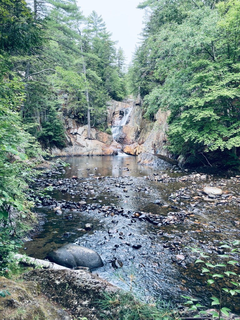
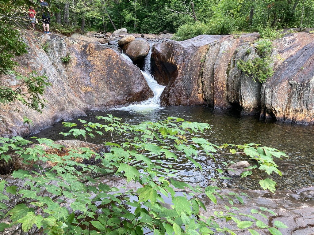
Smalls Falls is a part waterfall hike, part scenic rest area, located along Route 4 in Franklin County, Maine. Plenty of parking, charcoal grills, toilet facilities, and picnic tables along the river make this an ideal place to stop for a picnic lunch, walk around, and even get in the falls and pools to cool off in the Rangeley area.
Located between the blueberry fields of Cherryfield and the Downeast coast, Tunk Mountain (1,157 feet) is part of the Donnell Pond Public Lands, managed by Maine’s Bureau of Parks and Lands (BPL), with the upper summit area on land owned by The Nature Conservancy (trail map). Parking for this moderate hike (about 3.9 miles out and back) is on the north side of the Blackwoods Scenic Byway (ME-182) between Sullivan and Cherryfield, consisting of a large lot, a pit toilet, and an information kiosk. This lot does fill up quickly, however, on weekends.
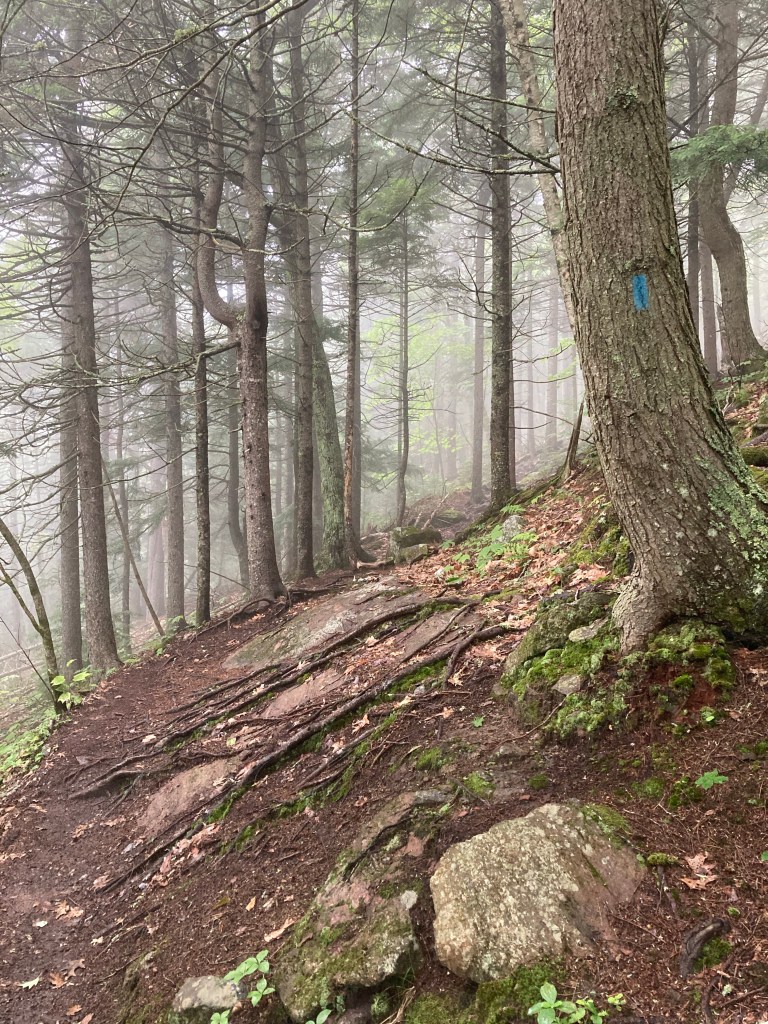
At first, it seemed like it wasn’t the ideal day to climb Ragged Mountain (1,303 ft) in Rockport. The bank of fog covering the Midcoast in the early summer morning obscured any views. But hiking in a cloud has its advantages – on a day eventually headed above 90 degrees, a chill mist over the George’s Highland Path (GHP) operated like an air conditioner, keeping us cool on the trail.
The Roscoe and Elva Lowell Preserve in Windham, Maine is a 308 acre preserve managed by the Town of Windham, close to Little Duck Pond and the Falmouth town line. The trails in the northeast corner of the Preserve connect to the North Falmouth Community Forest. Trailhead parking is at the East Windham Fire Station, 45 Falmouth Road, Windham, and trail map is available here.