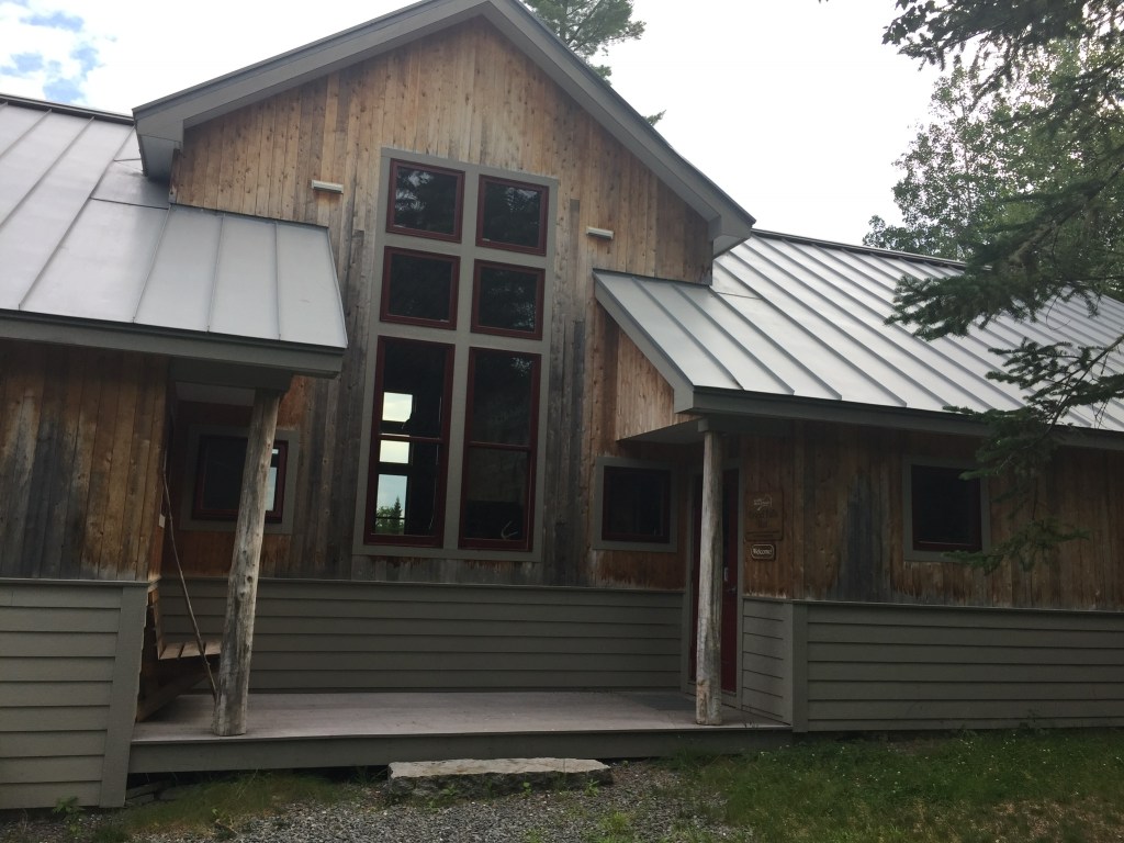
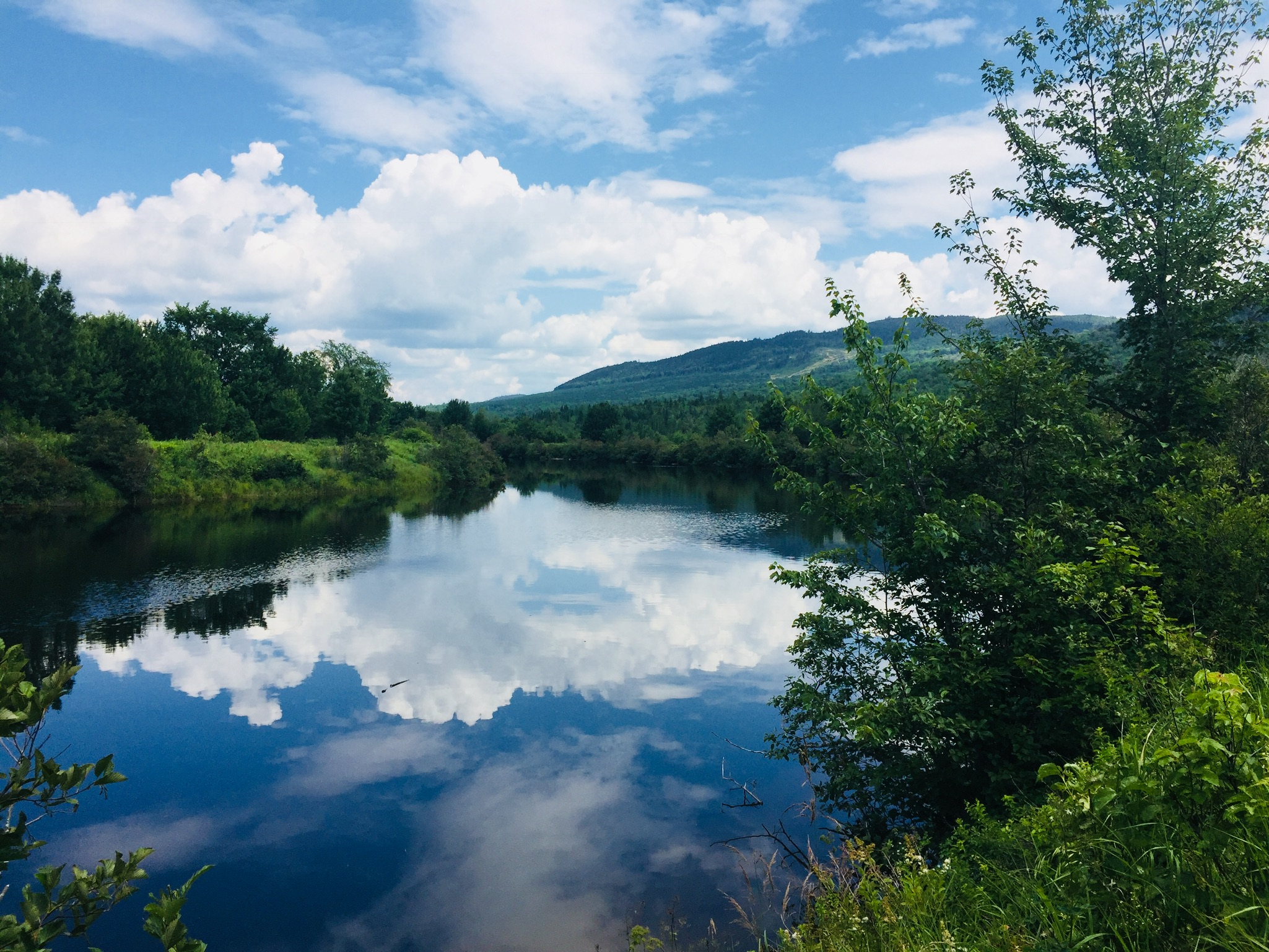
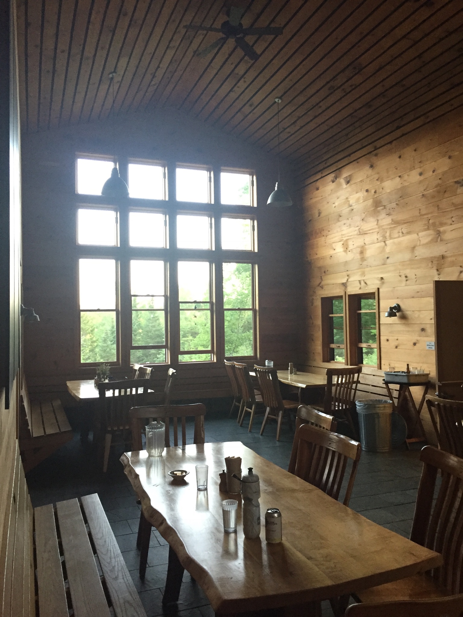
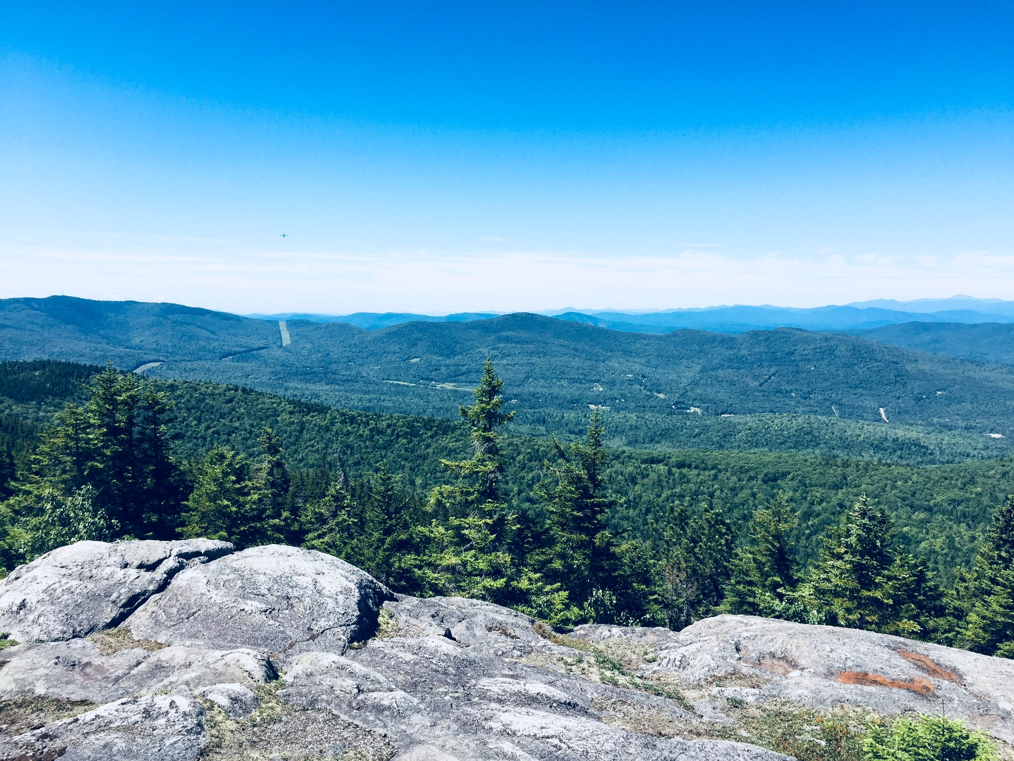
(Note: The Katahdin Loop Road opened for the 2020 season on Saturday, May 23. U.S. National Park Service advises to drive with caution and be alert for soft spots and rough road sections. Haskell and Big Spring Brook Huts are temporarily closed, and updates will be posted to the NPS website.)
The standard route into the South Entrance is via Route 11 from E. Millinocket/Medway to the Swift Brook Road along the Katahdin Woods and Waters Scenic Byway, but we were feeling adventurous, and took the Stacyville Road north from Millinocket to where it meets the Swift Brook Road. We savored the lonely ride along this quiet logging road, occasionally startling game birds (this is not the way to take a low-clearance or non 4×4 vehicle).
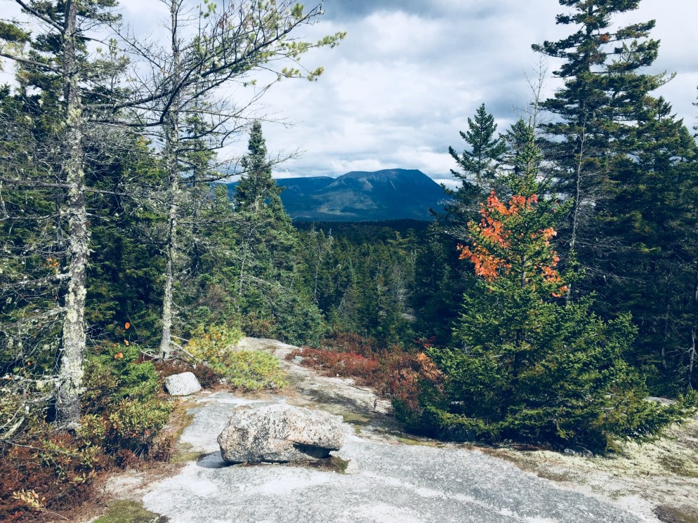
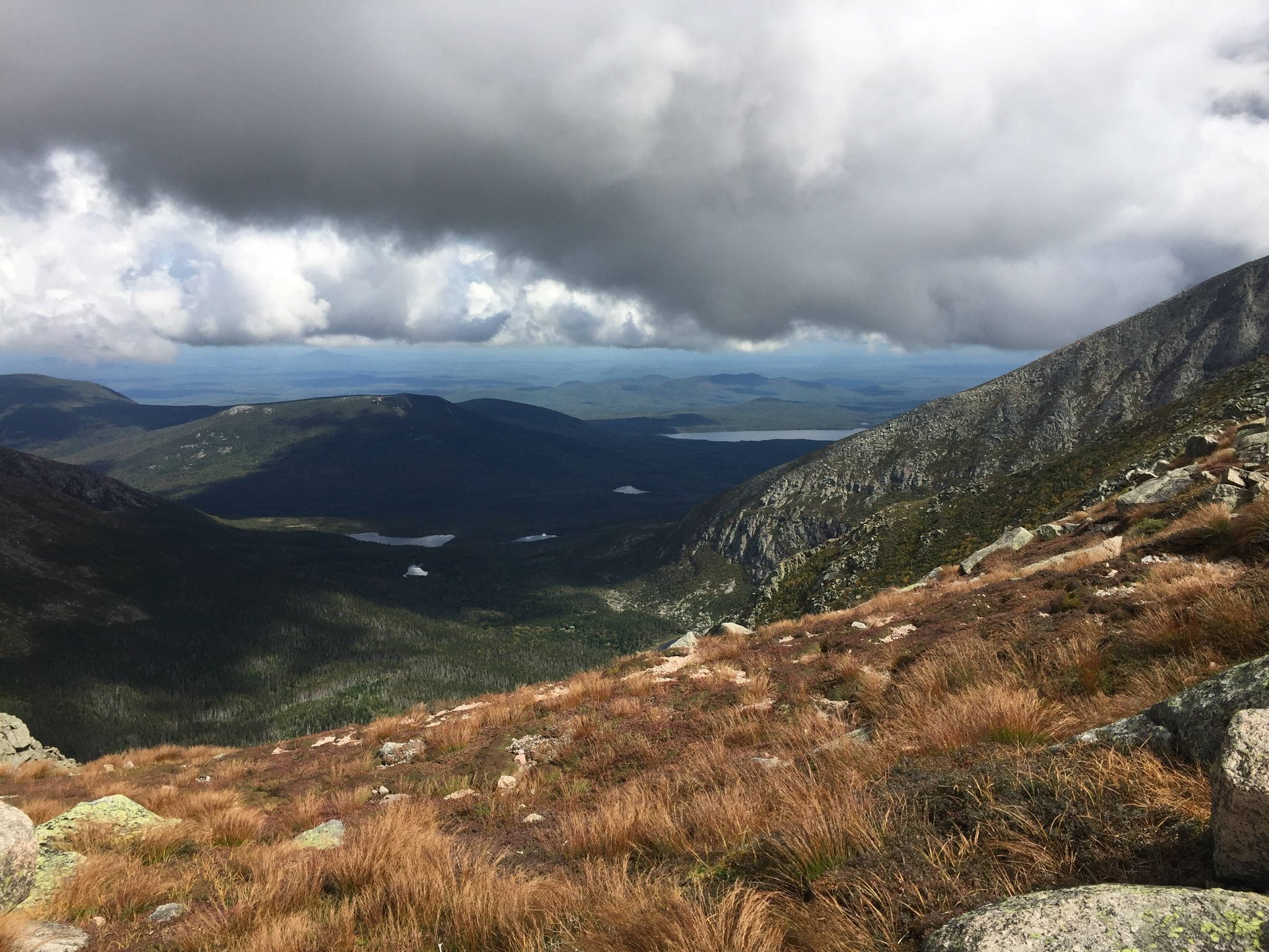
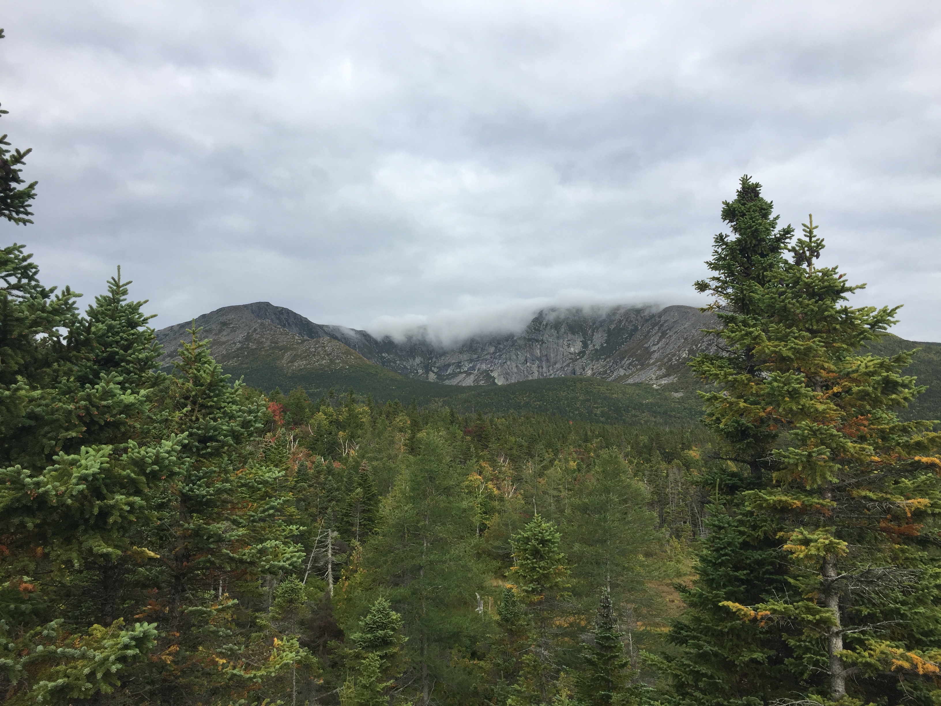
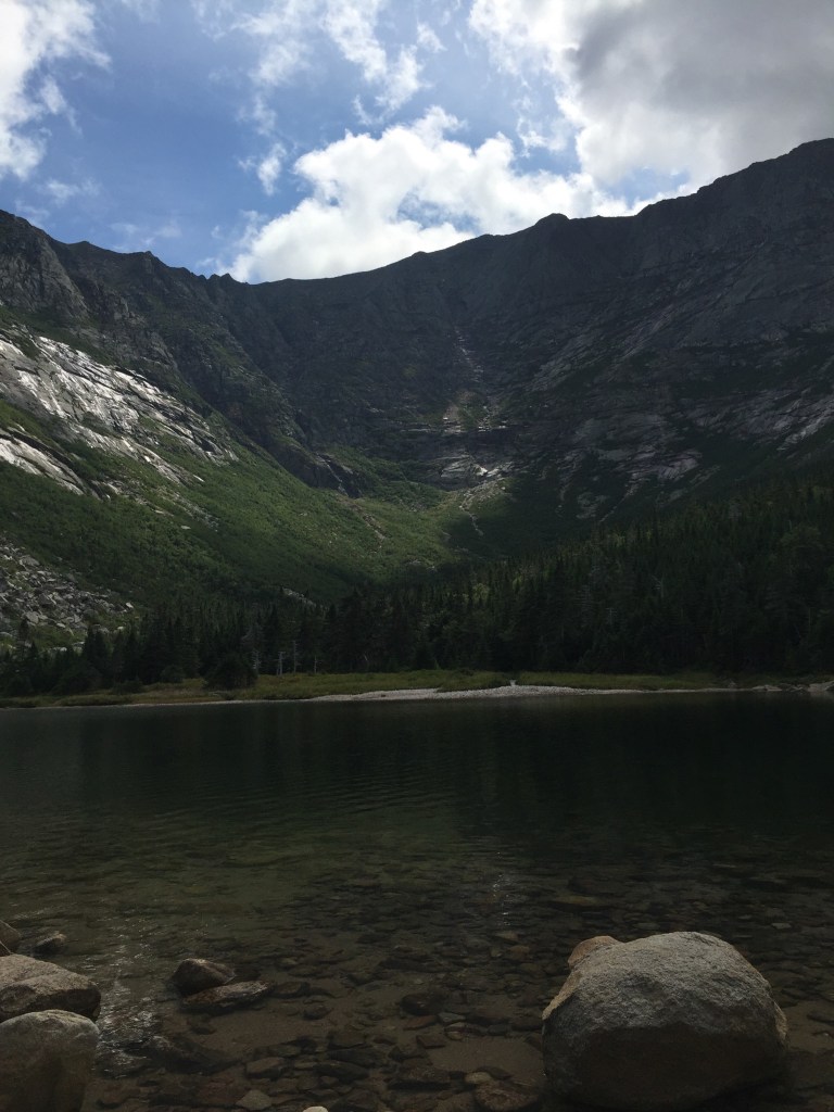
The 17-mile loop of Katahdin Loop Road is punctuated by meadows, bogs, and ridges, and the south and west parts of the loop boast excellent views of Katahdin and the surrounding area. This is an opportunity to see the Monument and cover distance in a vehicle, while having the chance to get out and explore at a variety of hiking paths and overlooks. The best map of the loop we found (which I wish we had when we were there, as it is also an excellent interpretive guide) was from the Friends of Katahdin Woods and Waters, and can be found here.
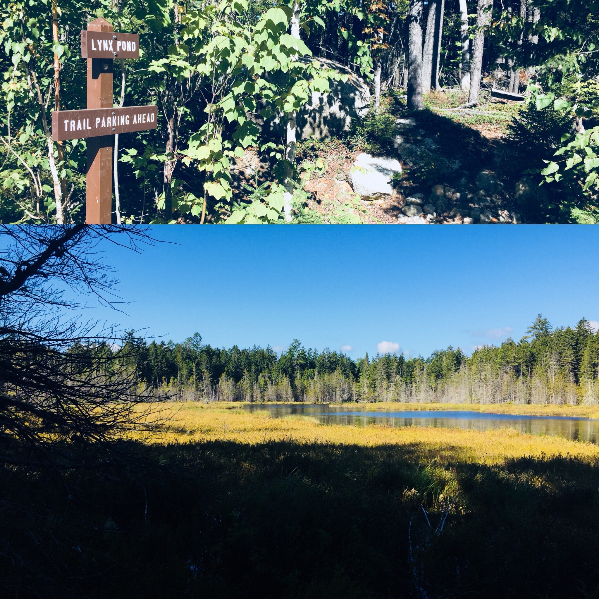
Lynx Pond
The Lynx Pond Walk is shortly past the Loop Road Gate, on the right just past the Mile 2 marker. Shortly after the trailhead is a parking area on the left of the Loop Road. This is a very short walk through the woods to a small boardwalk by the pond, and a spot for quiet reflection and wildlife viewing.
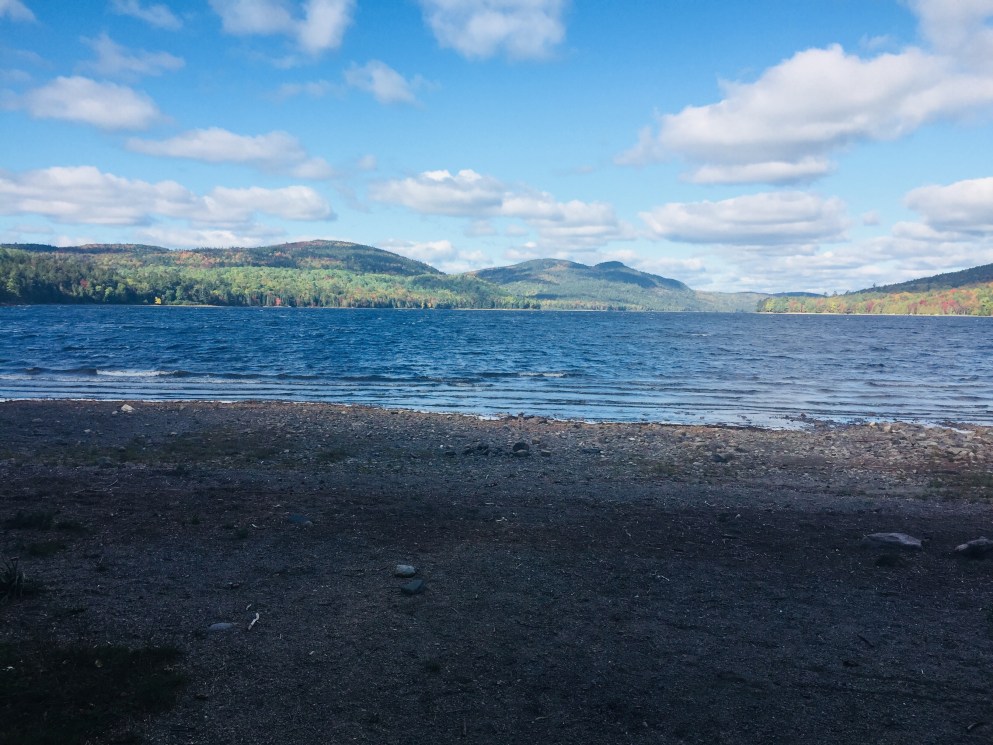
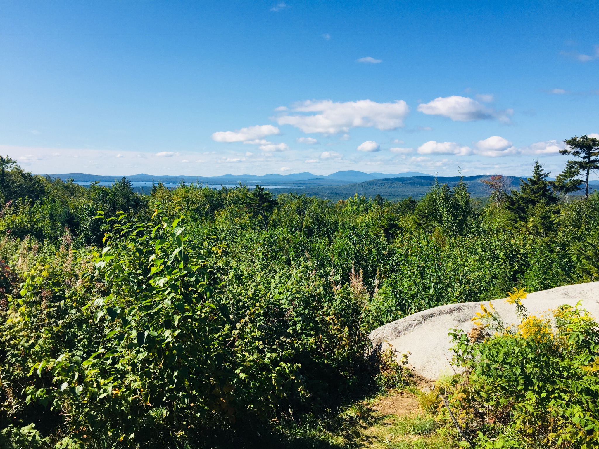
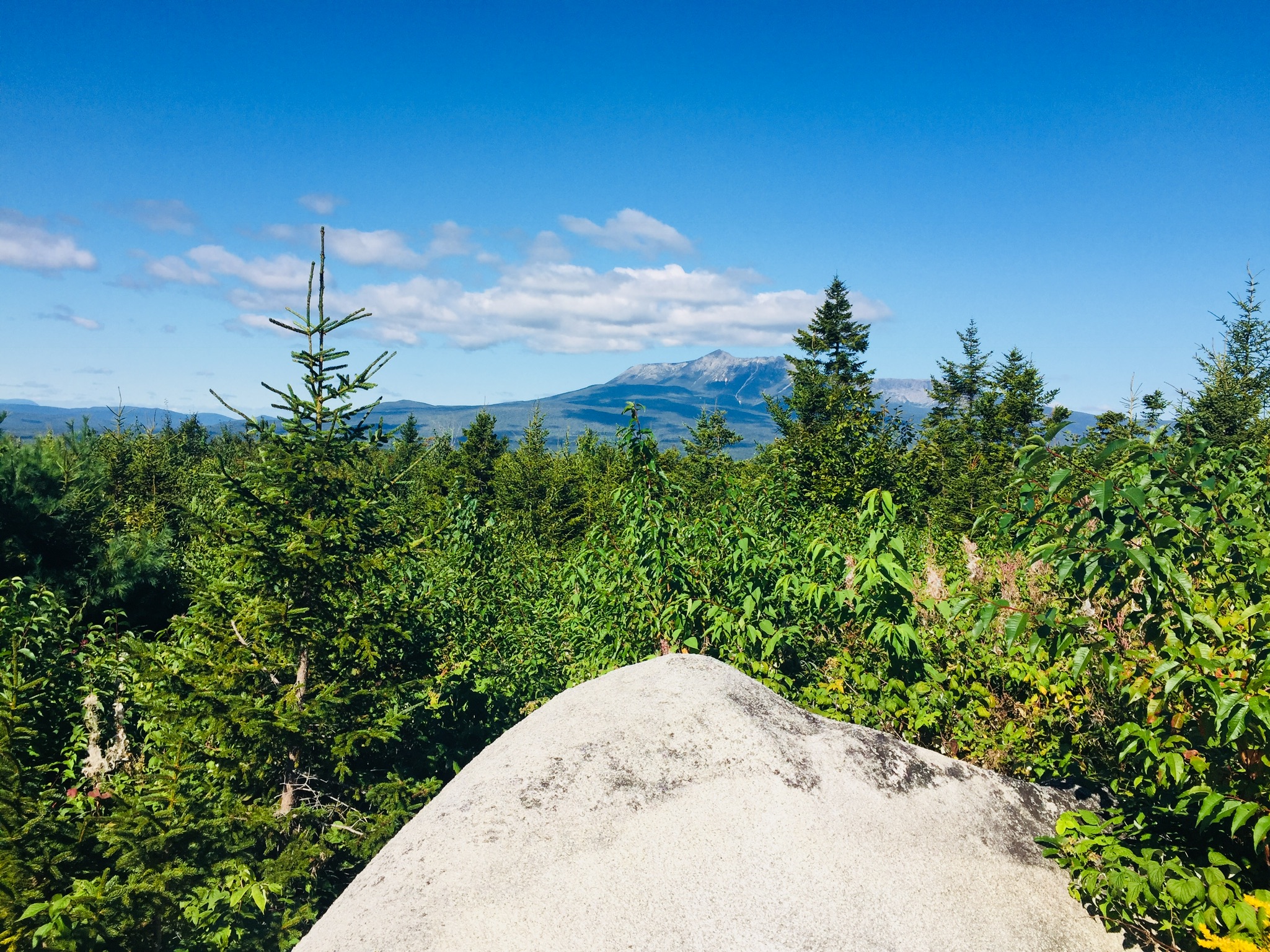
Looking south from The Overlook on Katahdin Loop Road. The large lake is Millinocket Lake.Views of Katahdin from The Overlook on Katahdin Loop Road
Katahdin towers over the loop, and there are multiple spots around the Loop Road with views of the lakes and mountains to the west and south, particularly The Overlook, between Miles 6 and 7, which conveniently has a picnic spot and a toilet.
The IAT and trail to Barnard Mountain
IAT Lean-To (toilet is behind lean-to)
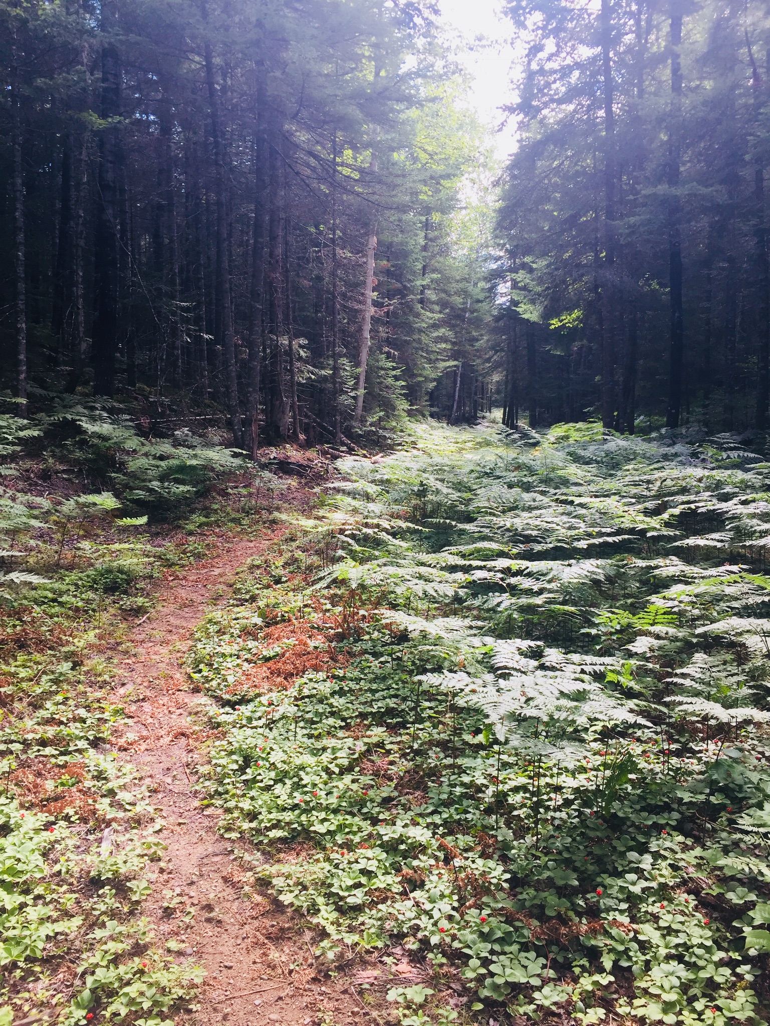
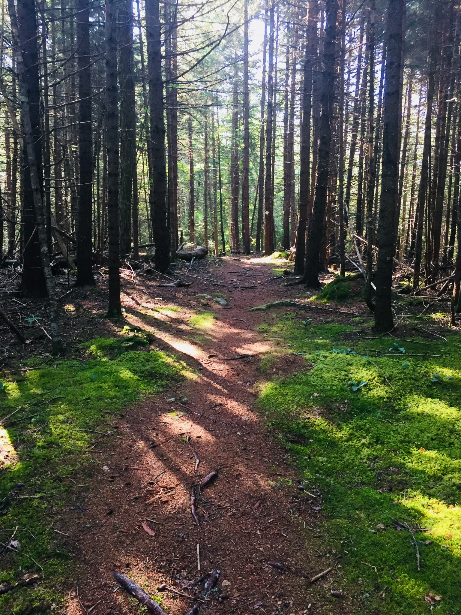
We continued around the Loop Road, and got out to stretch our legs again at the International Appalachian Trail (IAT) and trail to Barnard Mountain, passing over Katahdin Brook and by the IAT lean-to. This wide logging road made for a sunny trail, and though we did not make the turn towards the Barnard Mountain summit, we enjoyed the walk, and the familiar plants and animals that inhabit newly overgrown woodcuts, with blue jays diving across our path and into the trees. The Barnard Mountain trail itself is a moderate 4-mile round trip with summit views of Katahdin and Katahdin Lake to the west.
Late summer flowers and plants along the IAT
The IAT continues from the northern terminus of the Appalachian Trail at Baxter Peak across Maine, into Canada, across to Greenland, and Europe, to the Atlas Mountains of Morocco. For a great exploration of the concept of the IAT, see On Trails by Robert Moor, reviewed on this blog.
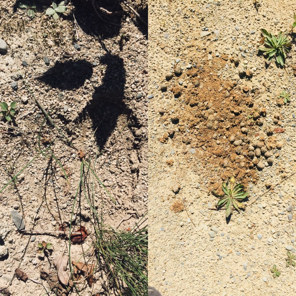
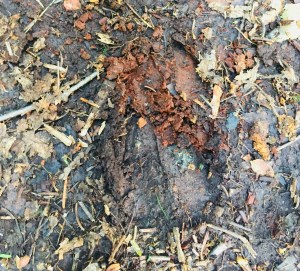
Moose tracks and droppings on the IAT
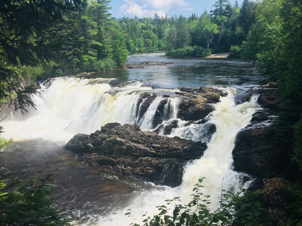
There are seven mountains in the Monument to hike, including Barnard, as well as paddling opportunities and waterfalls. The Loop Road was quiet, as were the trails, with natural sounds, and only a few others exploring the area. A bumpy drive back down Stacyville Road took us to Millinocket, where we devoured a Hawaiian pizza without remorse at the Millinocket House of Pizza.
Katahdin Woods and Waters National Monument is a special place, and we will be back there for hiking, biking, and paddling. The views during peak foliage season must be spectacular. Ensure you plan ahead, bring maps, and a cooler with water and snacks, as there are no facilities at the Monument, and cell coverage ranges from little to non-existent. But that’s probably what you’re looking for in the first place.
In an age of technology and enlightenment, physical borders remain enigmatically relevant. While information and intellectual property pass by on hidden virtual pathways, we are confronted daily with news of aggressive border incursions, walls, migration and separation. Porter Fox’s book Northland: A 4,000-Mile Journey Along America’s Forgotten Border (W.W. Norton and Company) navigates these troubled waters in a modern pilgrimage along the U.S.-Canadian border from Maine to Washington State.
Fox’s adventurous journey along the border (which splits both man-made and natural features, and has constantly been re-drawn and argued by the U.S. and Canada) was conceived during a 2014 lunch with Fox, his editor, and his agent, and brought to life “three years and four thousand miles later” by canoe, freighter, car, and foot. The fourth dimension of this journey is the history of tribal peoples and European exploration, which Fox weaves skillfully alongside his own narrative.
Fox divides the journey into five parts from east to west: the Dawnland, the Sweet-Water Seas, Boundary Waters, Seven Fires, and the Medicine Line. Not by accident, the origin of most of these names is drawn from the native populations who are omnipresent in the narrative, their proximity to the border a fateful combination of ancestry and displacement.
Fox finds commonality in all the populations banding the U.S.- Canadian border: social and personality traits mandated by the climate, economy, and the very nature of the stark world between two countries which these “northlanders” straddle. These commonalities include “[e]thnic communities with centuries-old histories, small towns that modern America skipped over, forgotten industries and Old World professions that rely on hands, not machines.”
The saga of these northlanders is not the only origin story: the birth of many things, from the U.S. Coast Guard to Thousand Island Dressing, is hidden within these pages. Fox takes the best approach in a travel book, making himself an observer, rather than an actor, and documenting the stories of those he encounters. This is not navel-gazing, this is journalism. Fox’s own story only emerges during brief memories of his own northland origins in Maine, or in humorous or poignant interactions with people along the way.
Fox also refrains from preaching or taking sides – any reasonable person can make their own conclusions regarding the effects of global warming, incompetent border management, marginalization of native peoples, or over-fishing and deforestation, making a diatribe superfluous. Fox observes:
It looked like night. The sky and land were dark. Flames blazed above tall, cylindrical smokestacks, casting orange light on the ship. The waterfront was barricaded by dunes of iron ore pellets and coal. It was nine in the morning. The water was oily green. I looked through the porthole in my cabin and saw a truck pour molten slag into a ditch. A bright-orange splash flew into the water and incinerated a duck swimming by.
Thus continues Fox’s story of his journey from the Saint Lambert Lock in Montreal up the Saint Lawrence Seaway through the Great Lakes (Ontario, Erie, Huron, Superior) to Thunder Bay, Ontario on the Algoma Equinox, a 740-foot freighter, reading like the opening of a post-apocalyptic version of Ben E. King’s Stand by Me.
It is in this excellent section on The Sweet-Water Seas that Fox truly hits his stride, capturing the chaotic, spooky world of the Equinox and its crew, as well as the unforeseen benefit of only traveling ten miles an hour. Fox writes beautifully, carefully, and sympathetically about the people and places along this route, interspersing modern vignettes with the movements of glaciers, floods, Champlain, La Salle, and inexorable commerce.
The book is full of these interactive moments that capture so much. Fox visits the Boundary Waters of Minnesota with Paul and Sue, legendary guides and explorers, watching Sue swing a canoe onto her shoulders for portage, “like putting on a sweater, except the sweater was a sixteen-foot Kevlar hull.” In North Dakota, Fox visits the Standing Rock protest camp of the Sioux Nation, against the Dakota Access Pipeline, and in Idaho, interviews a militia leader, who gives him “the kind of cheery welcome you’d expect from a car salesman.”
An otherwise-mundane guided tour (“The tour group itself was a thing of antiquity. I was the only one under the age of eighty. The comb-over on the man beside me was a work of art.”) of the Glacier Park Lodge in Browning, Montana yields an unexpected insight when the tour guide shows Fox and the group a large-format black-and-white photograph shot in the late 1800s:
The image was of two Blackfeet riders on a grassy knoll. Behind them were a forest and a few high peaks. Their hair was braided. The one in the front wore deerskins; the one behind wore blankets. Mist covered a valley at the foot of the mountains. There was no sun – just a dark line between earth and sky.
Amid the cedars, buffalo skulls, and antique china, the photo was indeed the only object in the lodge of extraordinary value. It was a split second in time from a lost world. “I like showing people this last,” the guide said. “I like them to know that we weren’t the first people to live here.”
By the time the journey ends, on a coastal Lummi tribal reservation at the western end of the border in Washington state, the reader has skillfully been transported stride-by-stride with Fox through the past, and across the northland. In his introduction, Fox explains that he wanted to visit the northland again before it changed for good. The borderlands seem to change more slowly than the center, giving us a glimpse into the past. In these margins, we see the cost of progress, and the stark natural beauty of the land that was, giving us pause about the right way forward.
(Disclaimer: This post contains affiliate links, and as an Amazon Associate Hiking in Maine blog earns from qualifying purchases.)
The hardest part about replacing my earlier (10th) edition of the AMC Maine Mountain Guide, 11th Edition (Appalachian Mountain Club Books), compiled and edited by Carey Michael Kish, was carefully transferring all of my handwritten notes and highlighter marks. The smashed mosquitoes and coffee stains I will have to replace as I go. Kish recently posted an article on Maine Today regarding the new edition.
As referred to many times on this blog, this indispensable book has been the starting point for countless adventures over the last couple years. According to the back jacket of the new AMC Maine Mountain Guide, this new 11th edition features 175 new trails, 50 new mountains, and 17 additional in-text maps, “capturing Maine’s booming trail building and expansion during the past five years.” Additionally, the existing trails include more details and updates, including more than 450 trail revisions.
In his Foreword, Carey Kish relates his hiking history, with the interestingly prescient detail that Kish bought his first Maine Mountain Guide in 1976. The Acknowledgements section shows the true breadth and depth of the book, with tips of the cap to AMC staff, Maine state departments, and a long list of names from “Maine’s incredible community of land trusts, conservation organizations, environmental agencies, trail clubs, trail advocates, outdoor recreation groups, and other good friends of Maine trails.” And it really must take a village to compile this book.
The introduction includes helpful information and advice for hikers specific to Maine, including descriptions of Maine geography and geology, climate, vegetation, animals, and trail etiquette. For map and GPS nerds, the section on Maps and Navigation (at the tail end of “How To Use This Book” is packed with reference books and maps to use as companions to the guide, with a short segment on LiDAR data, and how it has been used to correct the summit height of peaks. There is even a sample packing list (you are going to want those convertible pants), and a common-sense primer on backcountry hazards.
So what changed? The first Section is on Maine’s showpiece, Baxter State Park and Katahdin, and the new layout is apparent. The Suggested Hikes, which were previously at the end of each Section, are now at the beginning, in order from least difficult to most. The Trail Descriptions of the sixteen trails to the six major summits of Katahdin are now each prefaced with a table showing distance, elevation gain, and projected time to allow yourself.
These information-age upgrades haven’t changed the narrative, however, or characterizations such as that of the Knife Edge: “The dizzying height, sheer cliffs, and extreme exposure combine to make this one of the most spectacular mountain trails in the eastern United States.” This descriptive prose, fortified with weather warnings, sources of water, and historical notes on the trails, is the continuing magic of this guide.
The Sections of Maine have been broadened from ten to twelve, with stand-alone sections for Mahoosuc Range and Grafton Notch (Section 5), and White Mountain National Forest and Evans Notch (Section 6). It really is an expansion, and I skipped to some recent hikes I’d done to see the differences. I noticed subtle edits in the Downeast hikes I’d done recently, and updated road names added to trailhead directions.
Viewing the Southwestern Maine portion (Section 8), I noticed six brand new in-text maps in that section alone, with popular trails Bradbury Mountain State Park, Douglas Mtn. Preserve, Bald Pate Preserve, Burnt Meadow Mtn., Mt. Cutler, and Mt. Agamenticus all getting their own cartography. New trails also debut, like the 47-mile Hills to Sea trail through eastern Waldo County from Unity to Belfast, which was opened to the public in 2016.
The book ends with Appendices listing alphabetical contacts for the trails and lands listed in the guide, from the Appalachian Mountain Club to the Woodstock Conservation Commission, and checklists for New England 4,000 footers and New England 100 Highest. And in the back of the book are two pull-out map sheets, containing a total of six large-scale trail maps of Baxter State Park, Maine Woods, Bigelow Range, Camden Hills, Eastern Mount Desert Island, and Mahoosuc Range-Evans Notch.
The 11th Edition of the AMC Maine Mountain Guide has been completely revised and updated while maintaining its essential character, an impressive achievement. This is truly the hiking handbook for the state of Maine, and a must-have for outdoor explorers of all levels.
(Disclaimer: This post contains affiliate links, and as an Amazon Associate Hiking in Maine blog earns from qualifying purchases.)
When I first looked through the 35 trails listed in Aislinn Sarnacki’s book Maine Hikes Off the Beaten Path: 35 Trails Waiting to be Discovered, (Down East Books, 2018) I remembered how much in Maine is left to be hiked, a realization which is both humbling and encouraging. Sarnacki, the outdoor columnist for the Bangor Daily News, has assembled an eclectic, formidable line-up of trails spanning the Pine Tree State. Her introduction to the book spells out her goal in writing this book, starting with her journey into hiking, detailing a mixed experience ascending Katahdin at age sixteen, when she was “far from hooked on the activity.”
Sarnacki discusses how hiking subsequently got her through tough times, culminating in an undergraduate thesis on the positive ways it can affect a person’s holistic health, and a job at the Bangor Daily News writing Outdoors features. Sarnacki explains the changing map of trails in Maine, and her navigation of information provided by state parks, land trusts and other non-profit organizations to find these trails (did you know there are more than 40 other peaks besides Katahdin in Baxter State Park? I didn’t).
Sarnacki continues the introduction with a wonderful explanation of the value of Leave No Trace, with a description of Abol Pond during a Leave No Trace trainer course, and the change in enjoyment of natural beauty with the observation of the policy, versus without. She then provides helpful sections entitled Staying Safe While Hiking (all good tips – “Spoil Your Feet” and the limited use of helpful technology in particular) and At War With Ticks (common-sense strategies for dealing with an emerging problem).
The 35 hikes described by Sarnacki are spread across the state, bracketed by Wells Barren Preserve in in the south, Moosehorn National Wildlife Refuge to the east, Scopan Mountain near Presque Isle to the north, and Aziscohos Mountain in Lincoln Plantation to the west (man, I hope I got that right). Each includes a detailed description, detailing the Difficulty, Dogs (permitted or no?), any Cost or fee, Access (accessible overnight? four seasons?), Wheelchair accessibility, Hunting, Restrooms, How to get to the trailhead, and precise GPS coordinates.
Each trail has a clear, accurate map (take a photo of the map with your cellphone if you don’t feel like carrying the book with you on a hike), and excellent photos that give you an idea of the trail’s surroundings and vista points. Sarnacki describes the plants and animals to be encountered, gemstones and rocks, trail markings (or lack thereof), interpretive signs, and everything in between. To the extent there are land trusts, a town office, or other caretakers of the trail, Sarnacki provides web addresses and telephone numbers for more information, and personal notes with helpful anecdotes for the area or the trail.
These detailed vignettes brought back the best part of talking about hiking and trails, the part that is mostly lost in the technical focus of apps and guidebooks: word-of-mouth referrals for hidden outdoor gems, and personal stories about these special places. It is these connections that keep us coming back, and Sarnacki’s writing does an excellent job of capturing that idea. Having just come back from the Grand Lake Stream area, where we enjoyed the Baxter Outdoors New England Trail Series Downeast Lakes 5-Miler, I particularly liked Hike 25, the Little Mayberry Cove Trail, managed by the Downeast Lakes Land Trust (I agree with Sarnacki that the tiny silver and blue trail signs are aesthetically pleasing), and the photos capturing the changing light along the trails.
Reading through this book, I found myself continually reaching for my Maine Gazetteer to look at the hikes, and running through road trips in my head. As a result, this new book is already dog-eared and bookmarked with ideas, which is the mark of a truly adventurous guide. As Sarnacki concluded in her introduction, I was inspired “to get out there, off the beaten path.”
(Disclaimer: This post contains affiliate links, and as an Amazon Associate Hiking in Maine blog earns from qualifying purchases.)
In August 2018, we hiked Peaked Mountain (1,160 ft), also known as Chick Hill, in the Clifton-Amherst area off Route 9. For years, we had observed the massive cliffs of Peaked and Little Peaked Mountains looming over the Airline, and hiking to the top was a great experience. We took our instructions from the AMC Maine Mountain Guide, as well as a November 2017 Portland Press Herald article by Carey Kish on Airline Road hikes. We did this 2.2 mile up-and-back hike during a sweltering heat wave, with temperatures in the nineties, and it took us about an hour, total.
The gradual climb up the gravel road, bounded by wildflowers and berries.
The steep trail that turns off through the woods at utility pole 18.
The trail route provided by the AMC guide needs no addition – we easily followed the logging road (fire road 32) from the trailhead, past the turn-off for Little Peaked Mountain, and turned into the woods at utility pole 18. A steep trail through the woods (which felt like a jungle on this hot, humid day) leads up to the open areas below the summit.
Mom/wife and daughter reached the cliff edge below the summit, and enjoyed the cooler breezes, while Dad continued to the top and looked at the expansive views. The longer alternative, taken by another group of hikers while we were there, is to take the road all the way to the summit cell tower.
Benchmark at summit.
Cell tower at the end of gravel road.
The trip down the mountain was much faster than the way up, descending the gravel road with occasional stops for raspberries and blackberries. Little Peaked Mountain would have to wait for next time. Most importantly, a stop on Route 9 in Aurora at Mace’s American Snackbar for cold Gifford’s ice cream capped a great hike.
(Disclaimer: This post contains affiliate links, and as an Amazon Associate Hiking in Maine blog earns from qualifying purchases.)
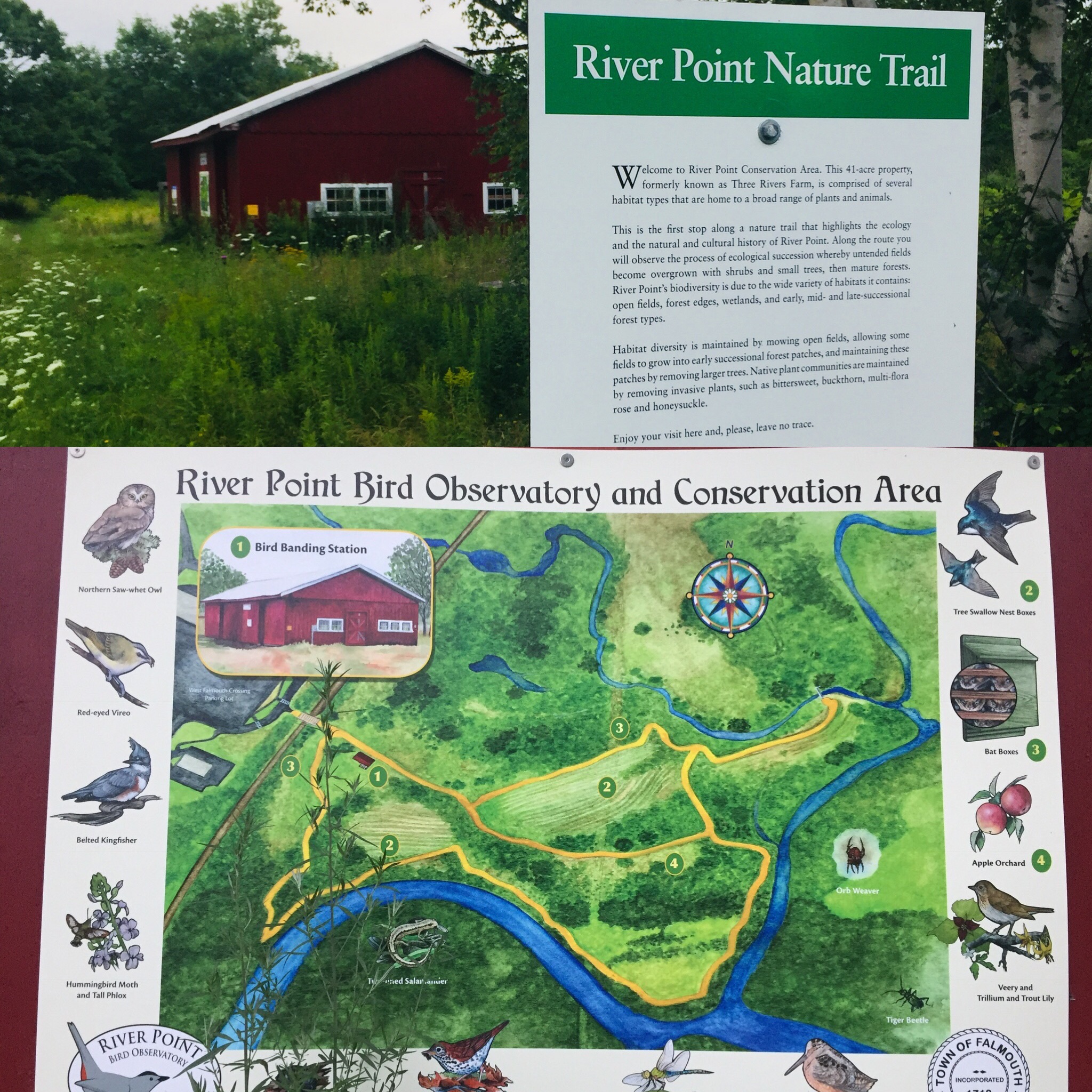
Off the West Falmouth exit of I-95 (exit 53), tucked behind the Hannaford plaza, is a hidden gem. You can find a detailed description of the land and its history at the Town of Falmouth site regarding the River Point Conservation Area. This 1.4 mile network of trails also links to the Cross Falmouth trails and Portland Trails, as well as being accessible by canoe from the Presumpscot River.
On the cloudy late July afternoon we visited the trails, mosquitoes were thick, and ticks were abundant in the tall grassy areas, so plan appropriately with insect repellent/gear. This did not hamper our enjoyment of the flowers and birds throughout the conservation area. Also, stay on the trails to avoid poison ivy.
Interpretive signs along the trails.
The interpretive signs along the trail would be good for scavenger hunt-type activities with kids, and provide insight to the area, its history, and the flora and fauna that inhabit it. The signs also disclose that the trail is sponsored by Dunkin Donuts, which has a location at the adjacent shopping center.
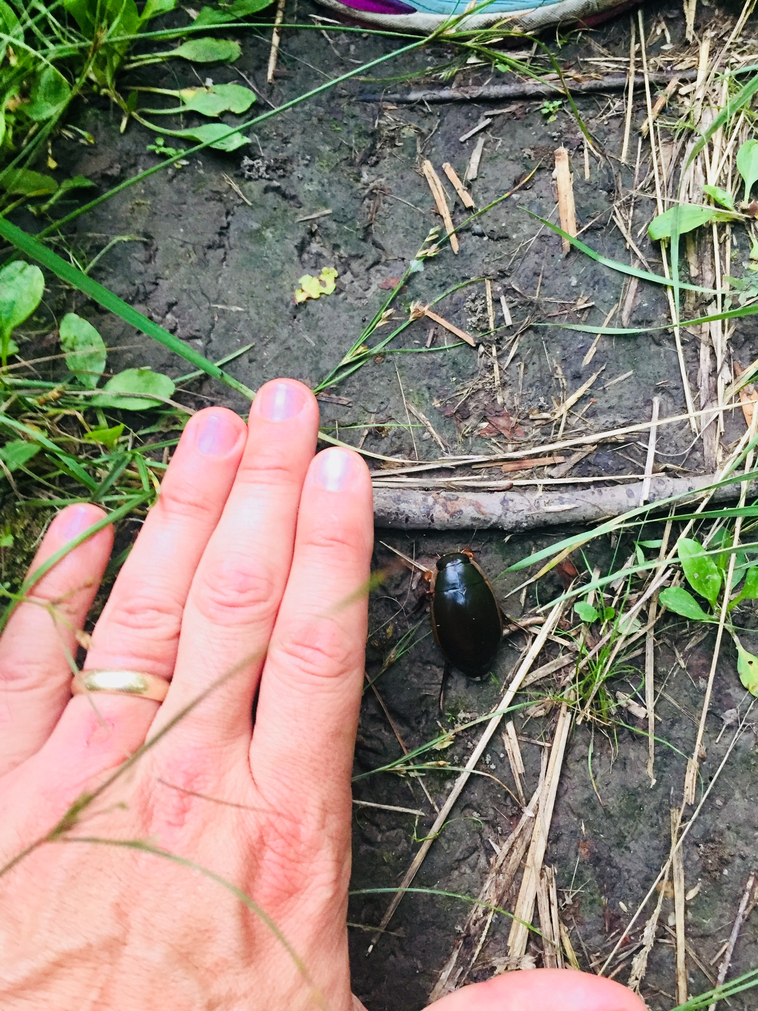
A massive beetle encountered on the trail.
According to the Town of Falmouth website, River Point was used for thousands of years as a campsite by Native Americans as they traveled seasonally from Sebago Lake to the ocean. The first white settlers homesteaded the original 151-acre property in 1775, and farmed there until 1883, establishing a brickyard and shingle mill on the property. In 1859, the Kennebec & Portland Railroad line bisected the property. The bridge, the only bridge in Maine built to connect to just one house, provided access to Route 100. The town acquired River Point in 1995 when the shopping center was developed. The Town Council designated the 41-acre property as a conservation area in 2009.
This small conservation area, with a short, flat loop trail, is perfect for a lunchtime or after-work walk in the greater Portland area, and the open fields, with birdhouses, are excellent places to observe songbirds (and in the evening, bats). The town of Falmouth lists allowable uses as: Hiking, mountain biking, snowshoeing, cross-country skiing, fishing, and nature study. For those with pets, just check the signs beforehand, as pets are not allowed when birds are nesting.
(Note: As of May 17, 2020, according to MH&T website, all Maine Huts and Trails “huts are closed – there is no access inside the huts for water or bathroom facilities. The bunkhouses are closed. Please know it is for your safety and the well-being of others. Be well, stay healthy.”)
Hello! I am the wife and mother of this happy hiking team in Maine. I tend to exist on the hiking periphery and I’m known mostly for cherry-picking the hikes I attend and forgetting critical supplies, like appropriate snacks and waterproof shoes.
On that note, welcome to the post on our recent 3-day hike from the Long Falls Dam trailhead in New Portland, Maine to the Flagstaff Hut (1.8 mi) to the Grand Falls Hut in West Forks, Maine (11.2 mi) and back (13.0 mi) to the trailhead (described on the Maine Huts and Trails website as the Hut-to-Hut Shoreline Trek). Maine Huts and Trails, which has four “huts” in the Carrabassett Valley region of western Maine, is a non-profit with a stated mission “to create and operate a world-class system of backcountry trails and eco-lodges for people-powered recreation to enhance the economy, communities and environment of Maine’s Western Mountain region, for the benefit of current and future generations.” You can view and download trail maps here.
Trailhead on Long Falls Dam Road
View West across Flagstaff Lake from Shore Trail
Husband and I (we were sans daughter this trip) took a route that began with a two-mile walk along the Shore Trail from the trailhead along a wooded route bordered to our left by glimpses of nearby Flagstaff Lake to the Flagstaff Hut – a beautiful, modern and welcoming property. Flagstaff Hut is the largest and most popular of the huts in the Maine Huts & Trails system and was built in 2009. I was glad to get there and take off my shoes. I know what you are thinking – she is tired after two miles? The answer is yes- it was incredibly hot. A handwritten dinner menu on a chalkboard awaited us, letting us know that at promptly 6pm we would get meatballs and pasta and blueberry pie!
A patient and friendly staff member who was turning out fresh bread in the kitchen greeted us and told us where our room was (she even switched us to a private room because one was available), answered questions about where we could swim and borrow paddleboards and explained the token system for the shower and how to operate the composting toilets. The main building houses a large community/dining area, a reading room, bathrooms, showers, and a drying room for wet gear. The dormitories are separated from the main lodge at Flagstaff Hut.
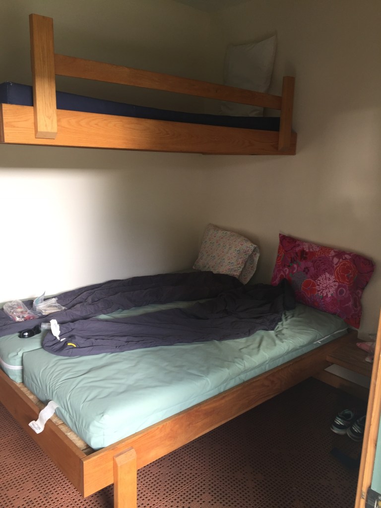
Yes, it looks like a crime scene photo, but this is what a room looks like.
The room was spartan but clean, well-lit and I won’t say “comfortable” but I am comparing that to my bed at home. It’s a thin, plastic mattress, folks. And a plastic pillow. But it sure beats the ground.
A snowshoe hare in its summer colors looks for food near Flagstaff Hut
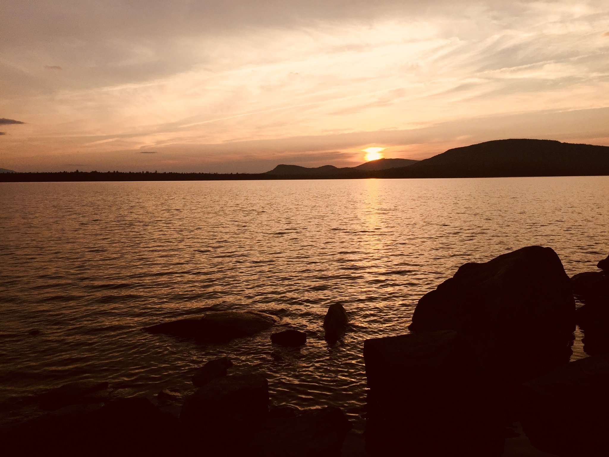
Dinner is served family-style promptly at 6:00 pm. The food is fresh, sometimes local and healthy. On the night we were there, there were thirteen of us spread over two tables and the staff accommodated all sorts of dietary restrictions, which is no small feat these days. We also tried lobster mushrooms foraged by the staff. Guests mostly discussed their plans for the next day or tips about what they had already seen and done in the area. It is a family-friendly environment, with children of various ages reading and running around. After dinner, we took a guided tour to see how energy is used throughout the hut and then we took a .1 mile stroll along the Birch Trail to the end of the small peninsula to watch the sun set over the Bigelow Mountains.
Kids were swimming and friends were chatting. We returned to the reading room where I read about the history of Flagstaff Lake, which was man-made and a controversial project at the time it was created. Quiet time begins at 9:30. Make sure to bring earplugs because you can hear your neighbor snoring. I would also bring a fitted sheet for the mattress next time, as it can feel like sleeping on a diaper.
The shower is warm and quick and will give you an activity especially if you wake up at 6:15 ready to walk but need to wait until 7:30 when breakfast is served and the sandwich bar is put out so you can make a bag lunch. With sausages, eggs and pancakes in my belly, I was ready to go! We set out at 8:30 am to walk the Maine Hut Trail to the Grand Falls Hut. I must admit that I had some anxiety about the distance because it was 11.2 miles and I’ve never walked that far with a pack on. Let’s be honest here, I haven’t walked one mile with a pack on prior to this. Fortunately, my pack was light and husband graciously carried my water and a few other supplies.
The narrow trail runs along the Dead River for several miles
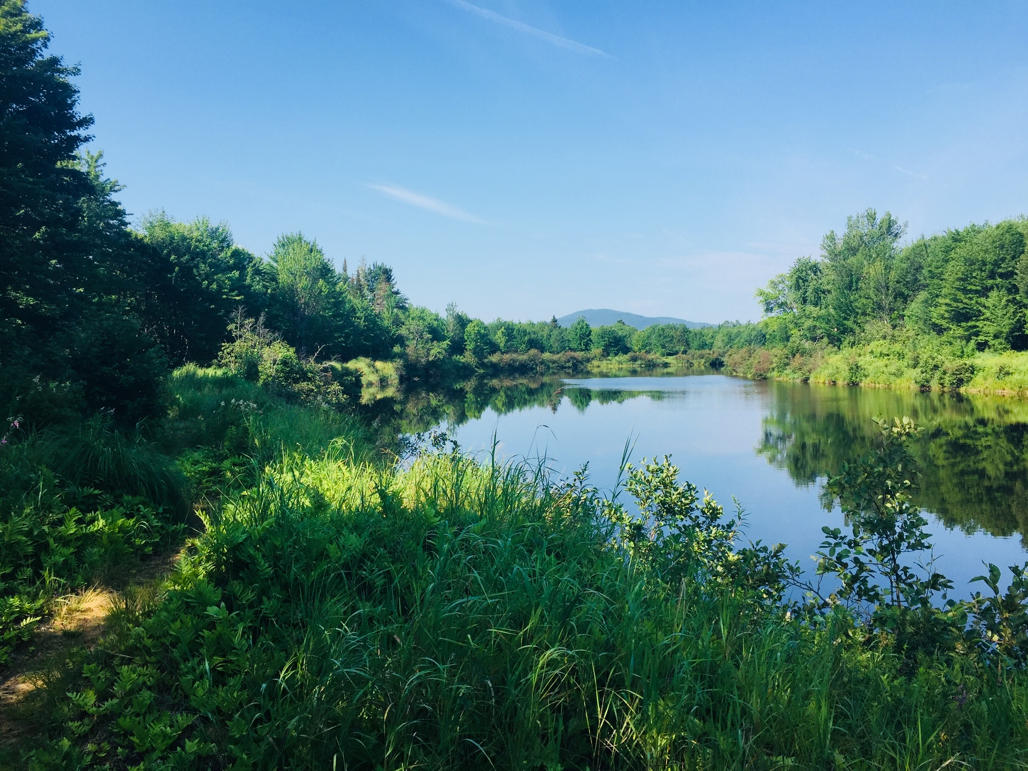
I discovered quickly that this was going to be a single-file walk. The trail is well-marked and clear but too narrow for two people to walk side by side, so conversations are nearly impossible. Also, you may not see anyone on the trail for the entire 11.2 miles, as was the case with us. The first third of the trail hugs Flagstaff Lake and then you enter the wooded Big Eddy area, and finally you follow the Dead River for the remainder of the trail. While there are numerous signs that say “Maine Huts & Trails” there are very few mileage markers or landmarks until you get close to the huts. Just after leaving the hut, the first bit of the trail was boggy and wet and not a good place for expensive, new running shoes. I’m just saying. The Big Eddy area was my favorite walking area because of the soft, pine-covered floors and the sunlight filtering through the tall trees onto the trail. Hiking poles are not necessary but we both found them helpful. There is very little elevation on this route and the only place I would say you have to be careful is the part right around the Grand Falls, which is rocky and steep for a short period. It is not so much a hike as it is a very long walk in the woods and along a river.
The peaceful morning sun hitting the trail
Yes, do bring a mosquito net and some Deet. Due to the proximity to the water and the low-lying areas, there were several stretches of trail that I did a lot of cursing and swatting and power-walking and questioning my decision to walk this trail. I came out looking like I had the chicken pox. Husband is completely unappealing to bugs.
There were brief pit-stops to pick blueberries or raspberries along the way, but we mostly just motored along. The banks are steep, and not conducive to swimming, except at a canoe and kayak launch off Dead River Road, and then a small beach right before Grand Falls.
We stopped for about twenty minutes to eat smushed, warm tuna salad sandwiches, raisins and granola bars, but there were no obvious picnic spots along the way, save for a lone picnic table about 2/3 into the trip and not marked on the map. The picnic table may actually have been placed there by mosquitoes as a trap.
Moose use the trails, too.
Although there was evidence of bear and moose, we did not see any. Shortly after crossing the Dead River on a footbridge, we startled a large predatory bird mid-meal, causing it to drop a headless squirrel Ozzy Osbourne-style right next to us. During the course of the three-day hike we saw a garter snake, a small green snake, kingfishers, a hawk, a school of trout and lots of curious red squirrels.
The big highlight is the impressive “Grand Falls.” It is certainly mesmerizing, and you can stand close enough to cool off in the mist it throws off.
We got to the Grand Falls Hut at about 2:30pm and quickly stripped off our socks and shoes (no trail shoes in the huts) and met our two new hosts who directed us to our room and said they would be available if we had questions. My first question was “can you drive me back to the trailhead tomorrow?” (no.) “How about a gear shuttle?” (we’ll check on that.) “How about a canoe?” (We’ll check on that.) “Is there a shorter way?” (no.) “Can I have a glass of wine?” (yes.)
Grand Falls Hut
The hut was quiet and peaceful and had a similar set-up as Flagstaff. The dorms were connected to the main lodge through a walkway. The showers felt deliriously good. How rewarding to walk all day, then get clean, grab a book and sit on a couch in a beautiful, sunny lodge with a glass of wine next to the man you love? It was also nice to be able to have a conversation with him after staring at his back for six hours. It was not as nice to contemplate the fact I had to walk 13 miles back to the car the following morning.
Next time, we will paddle this stretch of the trail
I would highly recommend renting a canoe in advance from Maine Huts and Trails, putting in at the Big Eddy canoe launch, and canoeing the 6 miles along the Northern Forest Canoe Trail on the Dead River to break up the walking. Everyone else staying at the lodges had canoed or kayaked that stretch. Once you are at Grand Falls Hut you will have your canoe/kayak and at least the option to paddle that stretch (I feel certain if you elected to leave the vessel there at that point and walk back, you could). I would also strongly suggest that you check in with your group and be honest about how nice it would be to have your gear shuttled back to the trailhead. By the time you get to Grand Falls Hut and your feet are tired and your shoulders are sore, you very likely might not have that option anymore, as was the case with us – no canoes left and no gear shuttle available. There may or may not have been some internal cursing when I found that out. I guess this is how I learn my physical limits!
Before dinner, we took a short walk along the Fisherman’s Trail to a swimming spot. We soaked our tired feet in the cool water and enjoyed watching the Dead River rapids. Dinner was plentiful and delicious – roasted chicken with pesto, kale salad, warm berry crisp. Guests traded stories by a big bonfire and quiet time began at 10 pm.
The dining area at Grand Falls Hut
The next morning we set out at 8:15 after a breakfast of eggs, sausages and fried (local) potatoes to hike all the way back along the same route to the the trailhead. You know it is a long walk when you finally see a sign letting you know that you have five miles left and you are excited. It is about 13 miles from Grand Falls Hut to the Flagstaff trailhead and it felt so nice to get my socks and shoes off, change my clothes and sit in an air conditioned car for a while. We arrived at the trailhead about 2:20 pm (yes, we were moving along!!) and a large, boisterous group of parents with teenage girls was just gearing up to hike into Flagstaff Lake. We let them know that they picked a great adventure!
Dad and daughter hiked Mt. Zircon (2,240 ft) in Milton and Peru, Maine, on July 21, 2018. This moderate out and back 5.8 mi hike took us about three hours, with a picnic lunch at the summit, and plenty of breaks to enjoy the scenery. As described in online articles and guides, the start of the hike, a gravel road off South Rumford Road across from the Androscoggin River, is not the easiest place to find (Google Maps will likely point you to the wrong side of the road). The best directions we found were in the AMC Maine Mountain Guide – look for the Rumford Water District tree farm sign, and the gravel road leading uphill past a red gate.
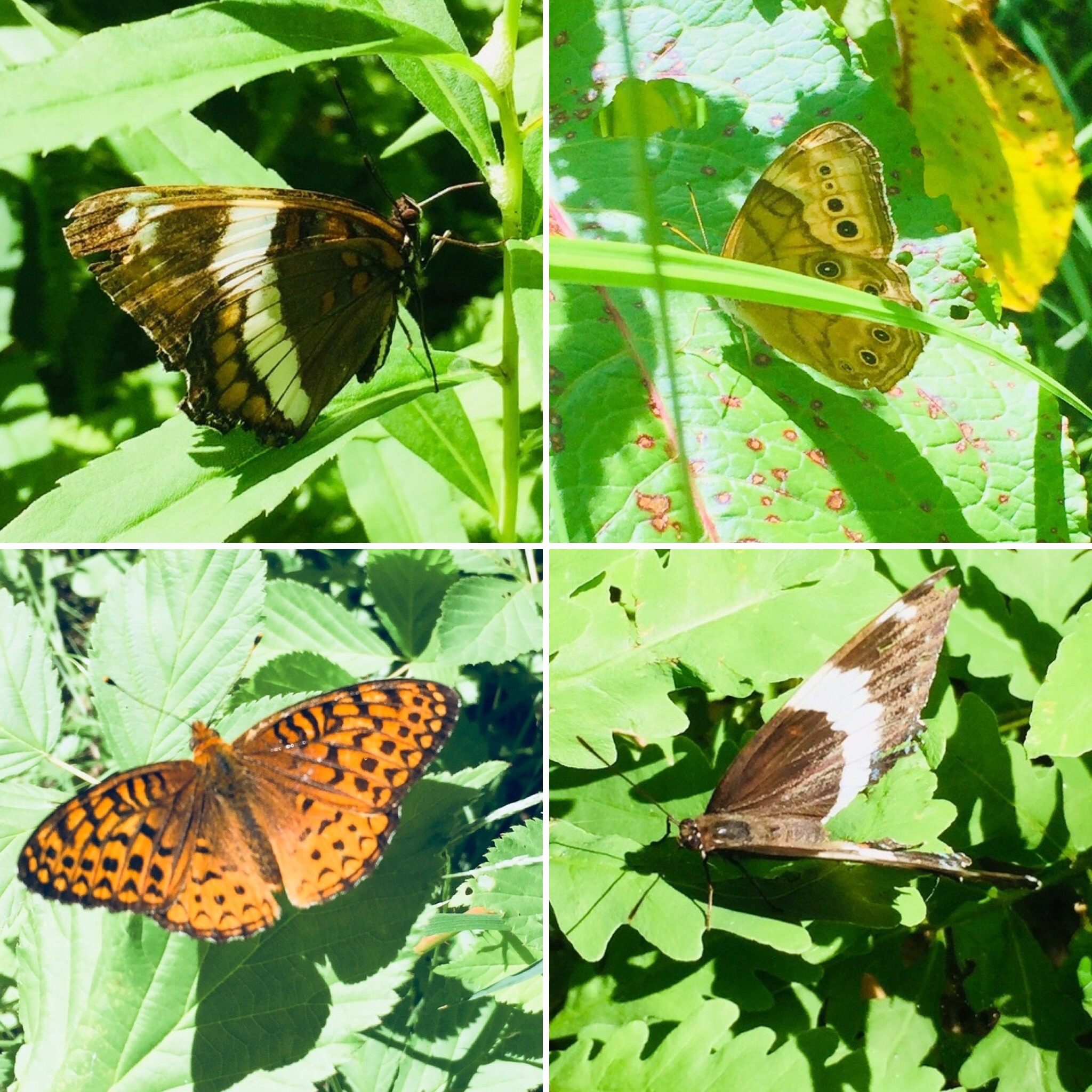
The trail starts with a steady uphill climb on a gravel road for 2.1 miles. This summer day, there were numerous raspberries and wildflowers on the sides of the road and the edges of adjoining woodlots, as well as a variety of colorful butterflies.
Butterflies along the Mt. Zircon trail
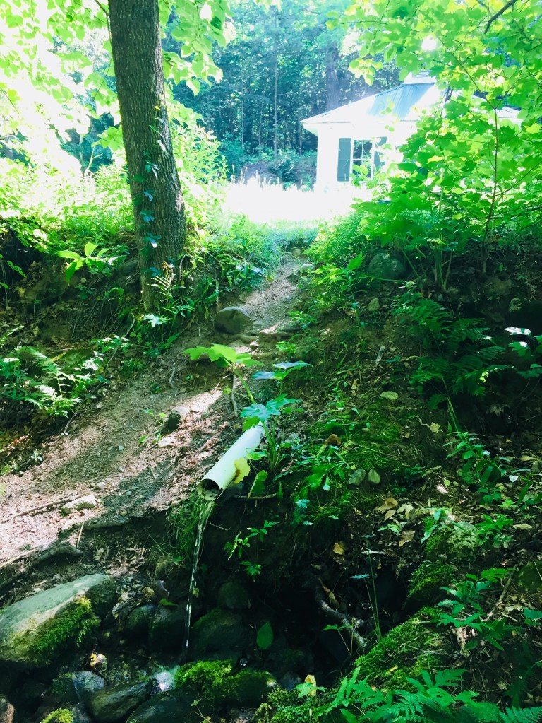
At about 1.5 miles, we reached a spring house on the left side of the gravel road, with an outlet pipe falling into a mossy hollow on the right side of the road (you can read more about the Moon Tide Spring house and the now-defunct Zircon Water Bottling Company here). The water was cold and fresh, and we filled our 3L Osprey water bladders to capacity on the return trip, and enjoyed this spring water for several days after the hike.
The Moon Tide Spring House and its outlet
At 2.1 miles, we turned left onto the path to the summit through the woods, which gained elevation quickly along a narrow but well-maintained path.
We saw a variety of toads and a couple wood frogs, as well as the recent tracks of deer.
Deer tracks
Perching toad
Find the toad?
To our delight, the beginning of the rocky section to the summit was filled with blueberries, our first ripe ones of the season. The path to the top weaved past several rocky ledges, giving views in almost all directions, including the Whites, Black Mountain and Sunday River.
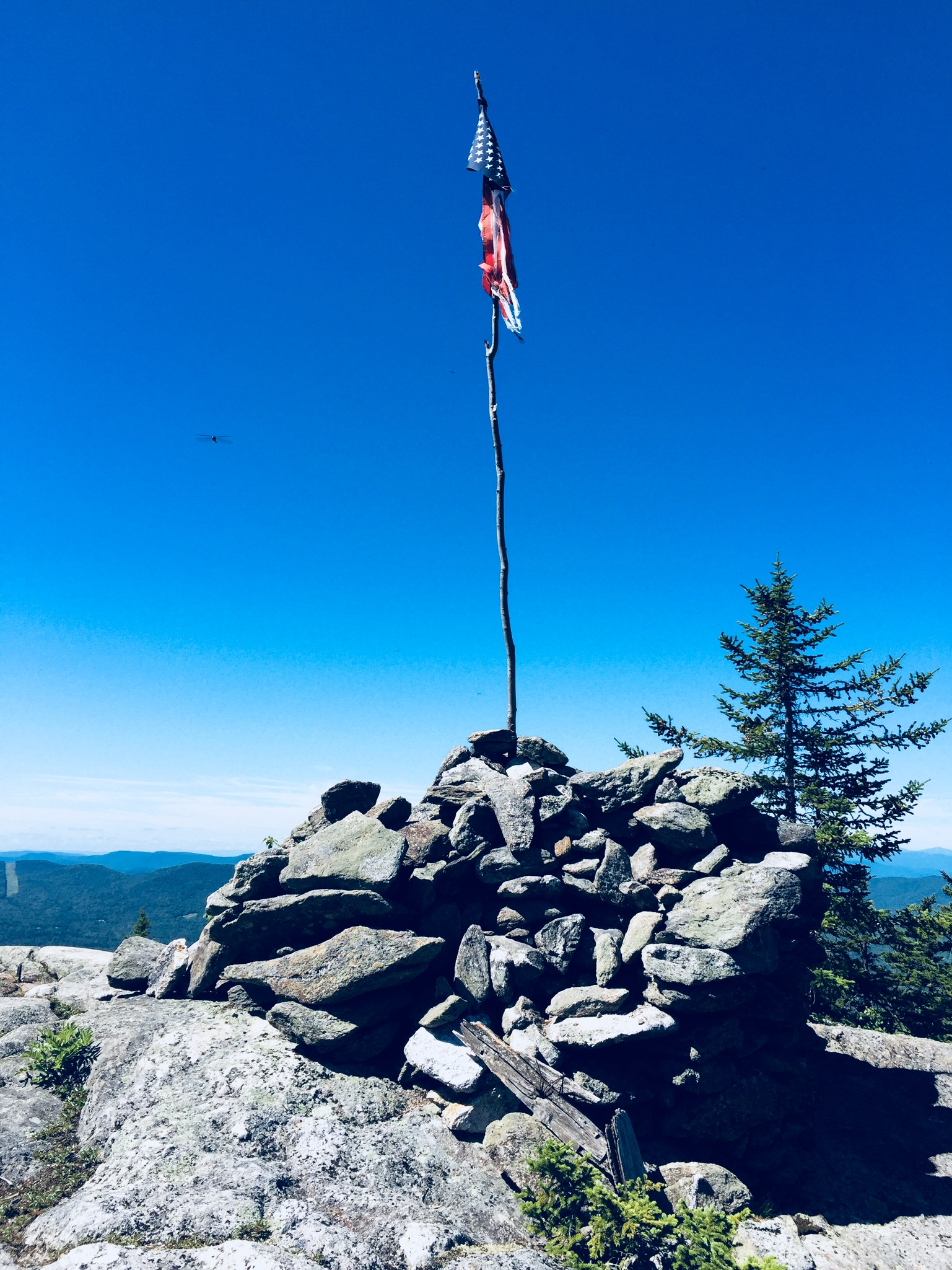
A dragonfly zooms past the tattered flag and cairn atop Mt. Zircon.
We had packed a lunch, and enjoyed it in a shady spot between the summit cairn and the fallen fire tower, with squadrons of dragonflies keeping away any biting flies. After we finished eating, we used the bag and containers from lunch to collect blueberries to bring back for the next morning’s pancakes, being mindful of the fragile plants and lichens surrounding them.
The same path and gravel road brought us back to our car after a relaxed downhill walk. We had the trail to ourselves most of the time, only seeing a couple people on the gravel road walking their dogs, and two riders on dirt bikes on the ATV section. Mt. Zircon is a quiet hike which delivers great views, fresh berries, and, as a bonus, cold, clear spring water.
(Disclaimer: This post contains affiliate links, and as an Amazon Associate Hiking in Maine blog earns from qualifying purchases.)
Sabattus Mountain (1,253 ft) in Lovell, Maine is an easy, family-friendly hike with sweeping views of the Lakes Region and White Mountains. Dad and Mom completed the 1.6 mile loop in about forty-five minutes at a relaxed pace, and Daughter went on ahead and finished in about half an hour. You can find a detailed description of this hike in the AMC Maine Mountain Guide, or the AllTrails app (download the map beforehand – not much cell service near the mountain).
Can you tell birches apart? The Sabattus Mountain markers also help with ferns, mosses, and other trees.
The sign at the trailhead, located off Sabattus Mountain Road, credits cooperative efforts between the Maine Bureau of Parks and Lands and the Greater Lovell Land Trust (GLLT) with making possible public access to the area. A look at GLLT’s web site shows they have many educational activities to offer, and multiple other trails. The Sabattus Mountain loop trail, which passes through a variety of terrain, includes helpful markers identifying the flora (nice post here on their installation). We headed left at the loop to go up, and this seems like an easier ascent than the right/westerly path, which could be slick in rainy weather.
The views from the summit were as advertised on this clear day at the end of June, and there are even a couple park benches from which to relax and enjoy the scenery. Use caution with small children and dogs, as the cliffs drop off steeply. An observation tower at the loop junction is no longer there – just the base exists now.
Park bench on the summit
After a stop at the summit, we completed the loop, returning to the trailhead. A great stop before or after this hike is the Center Lovell Market, which has everything you would want for a picnic, as well as a restaurant. Sabattus Mountain is not that far from beautiful Pietree Orchard in Sweden, which has a farmstand, pick-your-own fruit options, and pizza. And, as mentioned before on this blog, Ebenezer’s Pub in Lovell is the perfect place to enjoy a Belgian beer.
(Disclaimer: This post contains affiliate links, and as an Amazon Associate Hiking in Maine blog earns from qualifying purchases.)
Douglas Mountain, the highest of the Saddleback hills near Sebago, is the third in a recent trio of Lakes Region hikes, preceded by Bald Pate Mountain and Holt Pond Preserve, all of which are in close proximity (I did the three hikes in a single day, so they are eminently achievable day hikes). I hiked Douglas Mountain (1,416 ft) in Sebago in June 2018, via the Eagle Scout, Nature Loop, and Ledges Trails (2.3 miles, approximately one hour). This is a hike we’ve done several times as a family. These trails, part of the 169 acre Douglas Mountain Preserve, are maintained by the town of Sebago, which has a trail map and guide on its site. As usual, the AMC Maine Mountain Guide has a great description. A fee of $3 is payable at a kiosk in the parking area.
A mossy brook along the Eagle Scout Trail
The climb is a pleasant walk through the woods on a well-traveled path, with streams and beautiful trees. On the Nature Loop, you can start to get a sense of height from the ledges, but for the most part, the foliage hides the horizon and longer views until you reach the summit. As for Nature on the Loop, there were many mourning doves, plenty of wild blueberry plants, and innumerable chipmunks and red squirrels, who seemed suspiciously acclimated to humans.
Two red squirrels hope for a handout along the Eagle Scout Trail
The summit’s stone tower allows for panoramic views, and a pictorial display helps to identify which peaks, lakes, and points of terrain you are able to see on a clear day.
Entrance to the climb of the Ledges Trail, or the end of the trail, depending on your direction of travel
A steep descent down the Ledges Trail can be slippery in wet weather, so use caution in selecting your route. The last .4 miles or so back to the parking lot is reached by walking along Douglas Mountain and Ledges Roads, past beautiful houses. This route to the summit is substantially shorter than the Eagle Scout Trail, and would be a short, challenging scramble for younger hikers.
(Disclaimer: This post contains affiliate links, and as an Amazon Associate Hiking in Maine blog earns from qualifying purchases.)